Drumtrocher

Settlement in Stirlingshire

Scotland

Drumtrocher

Garrel Burn and Carron Valley Reservoir from the air Built in 1935-39 in response to the droughts of 1931 & 1933, the reservoir has a capacity of over 4500 million gallons (20,400 million litres).
Garrel Burn and Carron Valley Reservoir from the air Credit: Thomas Nugent

Drumtrocher is a small village located in Stirlingshire, Scotland. Situated on the eastern bank of the River Forth, it is nestled amidst the scenic landscapes of the Central Lowlands. With a population of around 300 residents, Drumtrocher exudes a quaint and peaceful ambiance.

The village boasts a rich history, dating back to ancient times. Evidence of early settlements has been discovered in the area, with artifacts indicating human habitation as far back as the Bronze Age. Over the centuries, Drumtrocher has witnessed the rise and fall of various kingdoms, leaving behind remnants of its past, including ruins of old castles and burial mounds.

Nature enthusiasts will find themselves captivated by the beauty that surrounds Drumtrocher. The verdant countryside offers ample opportunities for outdoor activities such as hiking, cycling, and birdwatching. The nearby River Forth also provides a serene setting for fishing and boating enthusiasts.

The village is well-connected to nearby towns and cities, with regular bus services and good road links. For those seeking cultural experiences, Stirling, a historic city renowned for its castle and medieval Old Town, is just a short drive away. Additionally, the vibrant city of Glasgow can be reached within an hour's journey.

While Drumtrocher may be small in size, it exudes a strong sense of community spirit. The villagers take pride in their close-knit community, organizing various local events and celebrations throughout the year. The village also boasts a few amenities, including a local pub, a small grocery store, and a community center.

In summary, Drumtrocher is a picturesque village in Stirlingshire, Scotland, offering a tranquil escape from the hustle and bustle of city life. With its historical significance, natural beauty, and community spirit, it is a hidden gem waiting to be discovered.

If you have any feedback on the listing, please let us know in the comments section below.
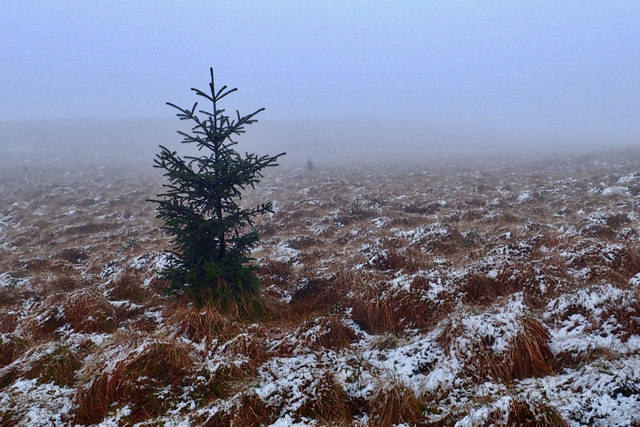
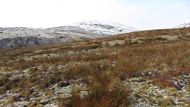
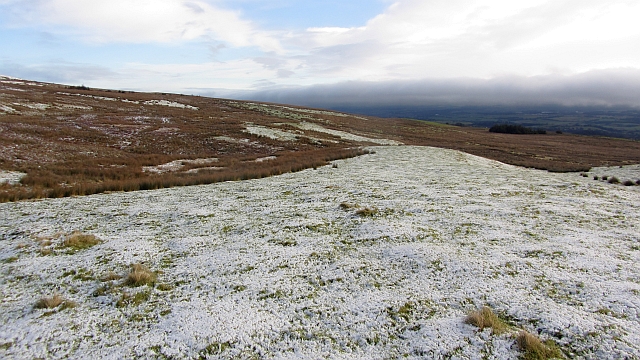
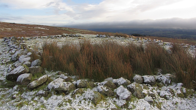
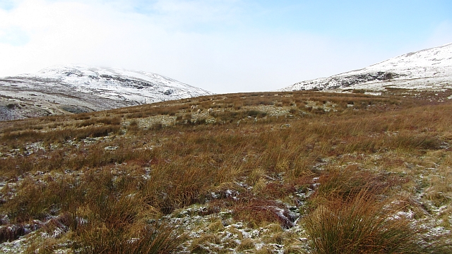
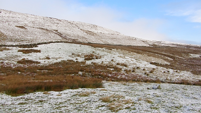
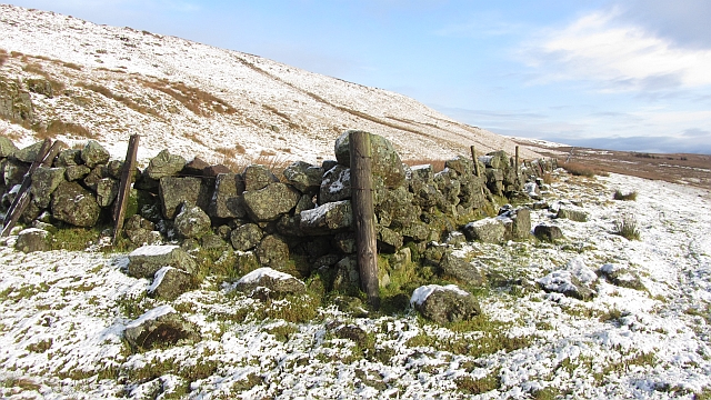
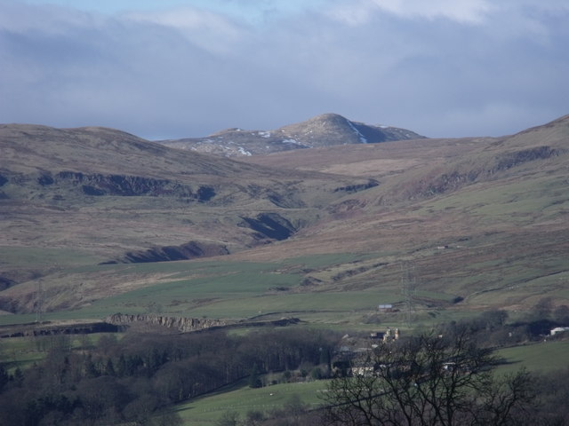
Drumtrocher Images

Images are sourced within 2km of 55.986574/-4.0693428 or Grid Reference NS7179. Thanks to Geograph Open Source API. All images are credited.

Garrel Burn and Carron Valley Reservoir from the air Built in 1935-39 in response to the droughts of 1931 & 1933, the reservoir has a capacity of over 4500 million gallons (20,400 million litres).
Garrel Burn and Carron Valley Reservoir from the air
Built in 1935-39 in response to the droughts of 1931 & 1933, the reservoir has a capacity of over 4500 million gallons (20,400 million litres).
Self sown tree, Garrel Hill
Summit of Laird's Hill Looking towards Meikle Bin and Little Bin
Summit of Laird's Hill
Looking towards Meikle Bin and Little Bin
Laird's Hill A hardly discernable summit and at 426m pretty much average on the Kilsyth Hills.
Laird's Hill
A hardly discernable summit and at 426m pretty much average on the Kilsyth Hills.
Laird's Hill
Laird's Hill
Longannet Power Station Flanked by the Garrell and Laird's Hills. Photo taken from the dam on Birkenburn Reservoir. The subject is 17 miles away across the Forth estuary.
Longannet Power Station
Flanked by the Garrell and Laird's Hills. Photo taken from the dam on Birkenburn Reservoir. The subject is 17 miles away across the Forth estuary.
Rough grazing on Garrel Hill The going is tough here, and gets worse further up. The mapped paths exist only on older maps, but there is a reasonable one on the ridge.
Rough grazing on Garrel Hill
The going is tough here, and gets worse further up. The mapped paths exist only on older maps, but there is a reasonable one on the ridge.
Rough grazing on Garrel Hill A tongue of raised ground is sufficiently drained to be grassy. All around is wet rashy ground giving abominable going. Paths on the map? The Ordnance Survey have just removed them to reflect their lack of existence on the ground.
Rough grazing on Garrel Hill
A tongue of raised ground is sufficiently drained to be grassy. All around is wet rashy ground giving abominable going. Paths on the map? The Ordnance Survey have just removed them to reflect their lack of existence on the ground.
A ruined enclosure An old fank?
A ruined enclosure
An old fank?
Laird's Hill and the glen of the Garrell Burn Rough grazing on the Kilsyth Hills. The burn runs through the gap between Laird's Hill (left) and Garell Hill.
Laird's Hill and the glen of the Garrell Burn
Rough grazing on the Kilsyth Hills. The burn runs through the gap between Laird's Hill (left) and Garell Hill.
Little Hill Rough grazing above Kilsyth.
Little Hill
Rough grazing above Kilsyth.
Dyke corner A corner of a wall under Little Hill. The path shown here on all but the latest maps does not exist although there is a gate on its course allowing the dyke to be crossed.
Dyke corner
A corner of a wall under Little Hill. The path shown here on all but the latest maps does not exist although there is a gate on its course allowing the dyke to be crossed.
Kilsyth Hills The severe defile of the Garrel burn dominates the centre of picture while Meikle Bin overlooks everything.
Kilsyth Hills
The severe defile of the Garrel burn dominates the centre of picture while Meikle Bin overlooks everything.
Slopes of Garrel Hill Older maps show a path here, it's not there now.
Slopes of Garrel Hill
Older maps show a path here, it's not there now.
Garrel Hill from the southeast In the Kilsyth Hills.
Garrel Hill from the southeast
In the Kilsyth Hills.
Laird's Loup A waterfall in the Kilsyth Hills, associated with a legend that a laird on horseback plunged over its edge whilst being pursued.

After the recent cold weather, the falls were still partially frozen.
Laird's Loup
A waterfall in the Kilsyth Hills, associated with a legend that a laird on horseback plunged over its edge whilst being pursued. After the recent cold weather, the falls were still partially frozen.
Laird's Loup and the upper Garrel Burn A tributary of the River Kelvin.
Laird's Loup and the upper Garrel Burn
A tributary of the River Kelvin.
View towards Laird's Hill Looking along some basalt outcrops below Garrel Hill and across the ravine of the Garrel Burn towards Laird's Hill.
View towards Laird's Hill
Looking along some basalt outcrops below Garrel Hill and across the ravine of the Garrel Burn towards Laird's Hill.
Show me another place!

Drumtrocher is located at Grid Ref: NS7179 (Lat: 55.986574, Lng: -4.0693428)

Unitary Authority: North Lanarkshire

Police Authority: Lanarkshire

What 3 Words

///mailings.rectangular.shun. Near Kilsyth, North Lanarkshire

Nearby Locations

Drumtrocher

Related Wikis

Kilsyth

Kilsyth (; Scottish Gaelic Cill Saidhe) is a town and civil parish in North Lanarkshire, roughly halfway between Glasgow and Stirling in Scotland. The...

Kilsyth railway station

Kilsyth Old station served the town of Kilsyth in Scotland. It was the original terminus of the Kelvin Valley Railway. == History == The station opened...

Kilsyth Victoria Cottage Hospital

Kilsyth Victoria Cottage Hospital is a health facility in Glasgow Road, Kilsyth, North Lanarkshire, Scotland. It is managed by NHS Lanarkshire. == History... ==

Kilsyth Rangers F.C.

Kilsyth Rangers Football Club are a Scottish football club based in the town of Kilsyth, North Lanarkshire. Nicknamed The Wee Gers, they were formed in...

Nearby Amenities

Located within 500m of 55.986574,-4.0693428
Power: tower
Lat/Long: 55.9866546/-4.0628174
Power: tower
Lat/Long: 55.9858973/-4.0686495
Power: tower
Lat/Long: 55.985366/-4.0727408
Bus Stop
Kilsyth, Livingston Park opp Balcastle Gardens
Bus: yes
Departures Board: timetable
Naptan AtcoCode: 61601428
Naptan NaptanCode: 65236763
Public Transport: platform
Shelter: no
Lat/Long: 55.9829548/-4.0688964
Bus Stop
Kilsyth, Arden Grove at 10 Arden Grove
Bus: yes
Departures Board: timetable
Naptan AtcoCode: 61601778
Naptan NaptanCode: 65238545
Public Transport: platform
Shelter: no
Lat/Long: 55.983033/-4.0648732
Bus Stop
Kilsyth, Arden Grove at 15 Arden Grove
Bus: yes
Departures Board: timetable
Naptan AtcoCode: 61601777
Naptan NaptanCode: 65238625
Public Transport: platform
Shelter: no
Lat/Long: 55.9831207/-4.064735
The data included in this document is from www.openstreetmap.org. The data is made available under ODbL.

Have you been to Drumtrocher?

Leave your review of Drumtrocher below (or comments, questions and feedback).