Austin's Green Plantation
Wood, Forest in Hampshire Winchester
England
Austin's Green Plantation
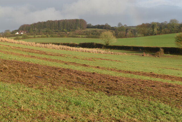
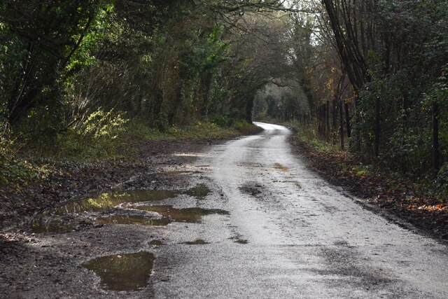
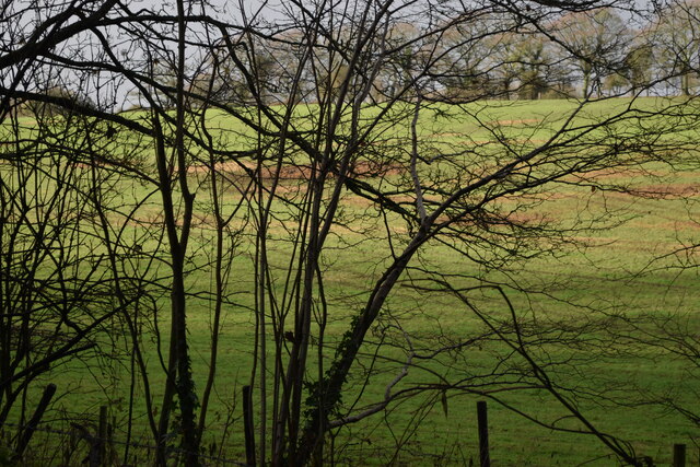
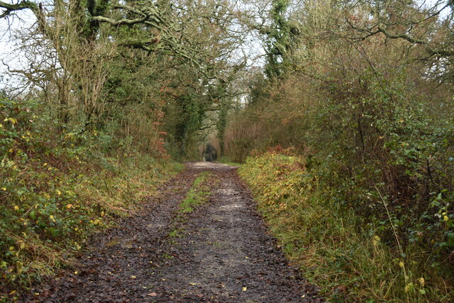
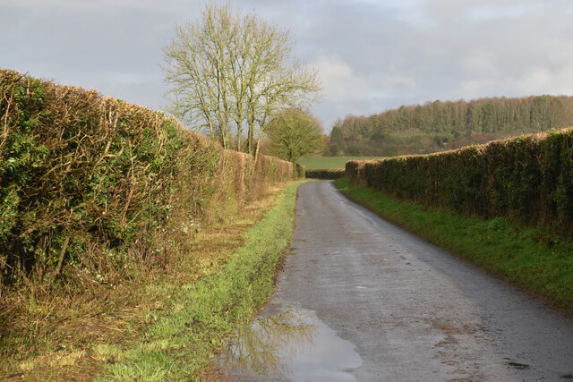
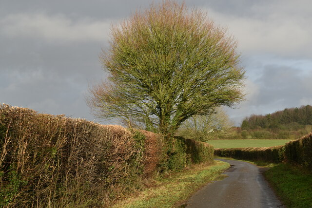
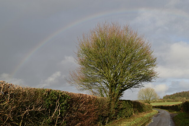
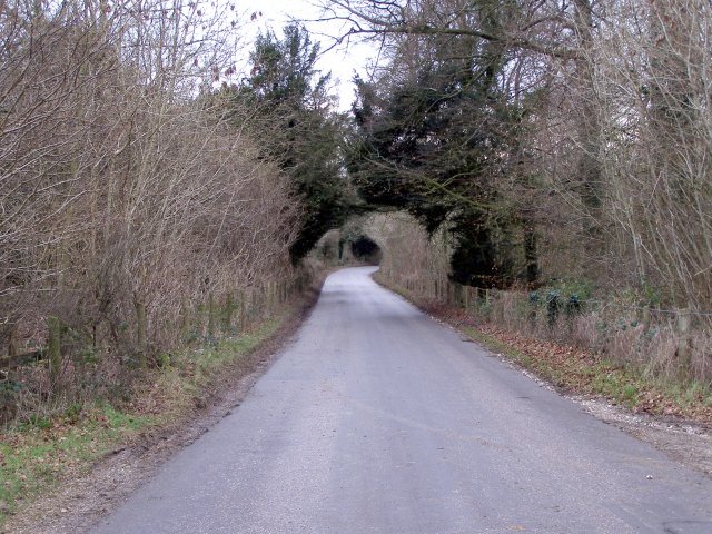
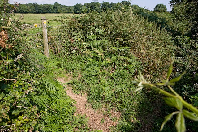
Austin's Green Plantation is a picturesque woodland located in Hampshire, England. The plantation covers an area of approximately 500 acres and is renowned for its verdant greenery and diverse range of plant species. Nestled amidst the rolling hills of Hampshire, the plantation offers a tranquil escape for nature enthusiasts and visitors seeking a serene retreat.
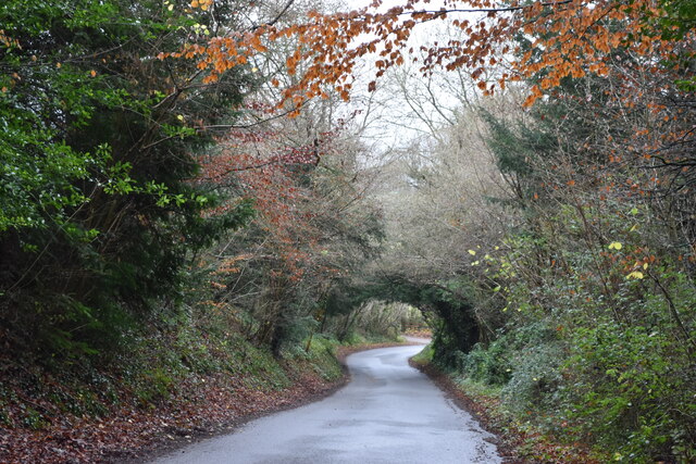
The woodland is characterized by its dense canopy of trees, dominated by majestic oak, beech, and birch trees, providing a haven for wildlife. The forest floor is blanketed with an assortment of flora, including bluebells, primroses, and ferns, which add bursts of color and texture to the landscape.
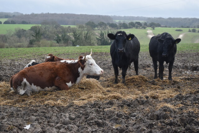
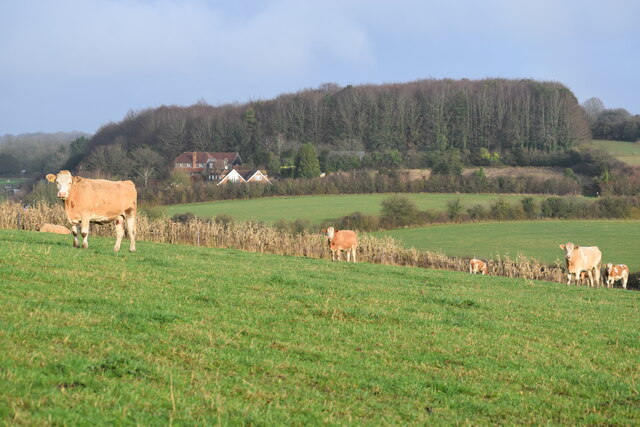
Austin's Green Plantation is home to a variety of animal species, making it a popular spot for birdwatching and wildlife observation. Visitors may be lucky enough to spot buzzards soaring overhead, while the vibrant calls of woodpeckers can often be heard echoing through the trees. The woodland’s diverse ecosystem also supports a population of deer, foxes, and badgers, adding to the enchanting atmosphere.
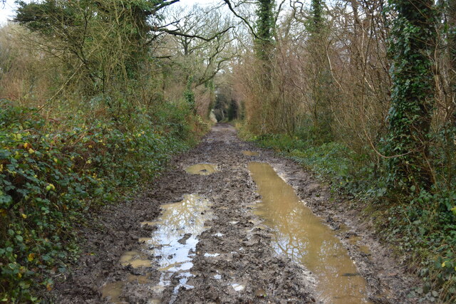
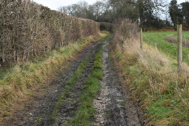
The plantation offers a network of well-maintained trails, allowing visitors to explore the woodland and discover its hidden gems. Whether strolling along the winding paths or venturing off the beaten track, visitors can immerse themselves in the natural beauty and tranquility of the forest.
Austin's Green Plantation also serves as an important ecological site, with conservation efforts focused on preserving its unique biodiversity. The woodland is actively managed to maintain its health and promote sustainable growth, ensuring future generations can continue to enjoy its natural splendor.
In conclusion, Austin's Green Plantation is a captivating woodland sanctuary that invites visitors to immerse themselves in the beauty of nature. With its diverse plant and animal life, well-maintained trails, and commitment to conservation, it is a destination that appeals to both nature lovers and those seeking a peaceful retreat.
If you have any feedback on the listing, please let us know in the comments section below.
Austin's Green Plantation Images
Images are sourced within 2km of 50.996842/-1.2572736 or Grid Reference SU5222. Thanks to Geograph Open Source API. All images are credited.


Austin's Green Plantation is located at Grid Ref: SU5222 (Lat: 50.996842, Lng: -1.2572736)
Administrative County: Hampshire
District: Winchester
Police Authority: Hampshire
What 3 Words
///regret.spelling.traders. Near Colden Common, Hampshire
Nearby Locations
Related Wikis
Baybridge, Hampshire
Baybridge is a small village in Hampshire, in England. It is situated to the east of Owslebury, south of Winchester. == References == == External links... ==
Owslebury
Owslebury is a village and civil parish in the county of Hampshire, in the south of England approximately 5 miles (8.0 km) southeast of Winchester. It...
Marwell Zoo
Marwell Zoo is a 140-acre (57 ha) zoo situated in Colden Common near Winchester, in the English county of Hampshire. It is owned and run by the registered...

Marwell College
Marwell College was a college of secular priests in Marwell Park, Owslebury, Hampshire, England. Marwell was sometimes spelled Merwell or Merewell. The...

Owslebury Bottom
Owslebury Bottom is a hamlet in the civil parish of Owslebury in the City of Winchester district of Hampshire, England. Its nearest town is Winchester...
Upham, Hampshire
Upham is a small village and civil parish in the south of England located in Hampshire approximately 7 miles south-east of Winchester . == The village... ==

Lower Upham
Lower Upham is a small village in Hampshire, England, situated north-west of Bishop's Waltham on the B2177. == Governance == The village is part of the...
King's Way
King's Way or the Allan King Way is a 45-mile-long-distance (72 km) footpath in Hampshire, England. This footpath was created by the Hampshire Area of...
Nearby Amenities
Located within 500m of 50.996842,-1.2572736Have you been to Austin's Green Plantation?
Leave your review of Austin's Green Plantation below (or comments, questions and feedback).