Cowpen Spinney

Wood, Forest in Leicestershire Hinckley and Bosworth

England

Cowpen Spinney

Junction with Kirby Road
Junction with Kirby Road Credit: Dave Thompson

Cowpen Spinney is a small wood located in the county of Leicestershire, England. Situated near the village of Woodhouse Eaves, it covers an area of approximately 10 acres. The spinney is part of the larger Charnwood Forest, which is renowned for its natural beauty and diverse wildlife.

The wood is predominantly composed of broadleaf trees, such as oak, ash, and beech, which create a dense canopy overhead. This provides shelter and nesting sites for a variety of bird species, including woodpeckers, nuthatches, and tawny owls. The forest floor is covered in a carpet of bluebells during the spring, creating a vibrant display of color.

Cowpen Spinney is intersected by a network of footpaths, allowing visitors to explore the wood and enjoy its tranquility. The paths wind through the trees, offering glimpses of sunlight filtering through the leaves and the soothing sound of birdsong. Wildlife enthusiasts may encounter small mammals like squirrels, rabbits, and hedgehogs, as well as occasional sightings of deer.

The wood is also a popular spot for nature photography and picnics. Its secluded location and peaceful atmosphere make it an ideal place for relaxation and contemplation. Local conservation groups and volunteers work together to maintain the wood's natural habitat and protect its biodiversity.

In summary, Cowpen Spinney is a charming wood in Leicestershire, offering a serene environment, diverse flora and fauna, and opportunities for outdoor activities. It is a cherished natural space for both locals and visitors alike.

If you have any feedback on the listing, please let us know in the comments section below.

Cowpen Spinney Images

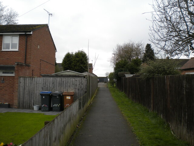
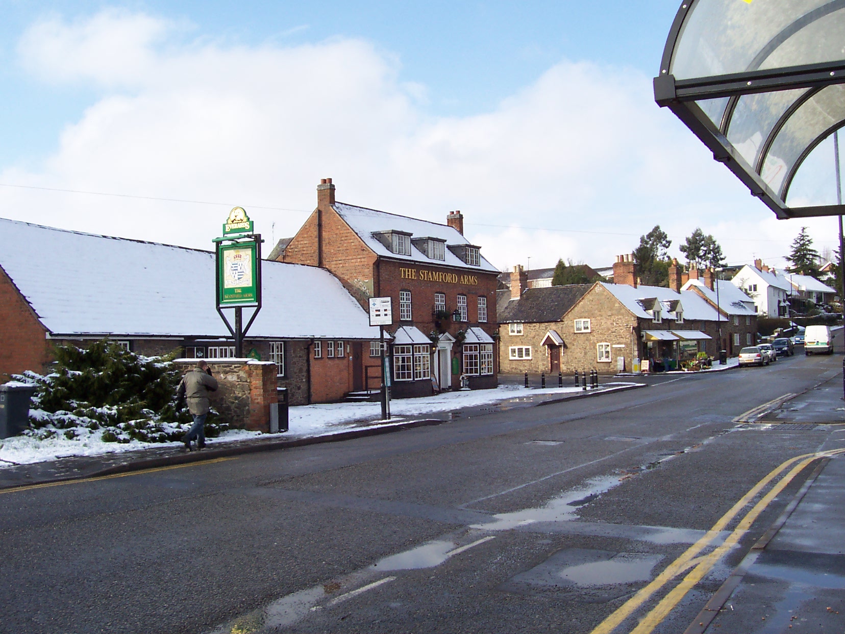
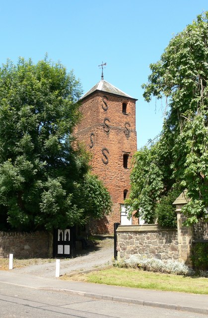
Images are sourced within 2km of 52.656999/-1.2300413 or Grid Reference SK5206. Thanks to Geograph Open Source API. All images are credited.

Junction with Kirby Road
Footpath into Grey Lodge Wood, Ratby The section of Martinshaw Wood that is south of the M1.
Footpath into Grey Lodge Wood, Ratby
The section of Martinshaw Wood that is south of the M1.
Markfield Road, Ratby (1) Looking towards Markfield from near the western edge of the village.
Markfield Road, Ratby (1)
Looking towards Markfield from near the western edge of the village.
Markfield Road, Ratby (2) Looking towards the centre of the village from near the Martinshaw Wood car park. The bus stop on the right is at an apparently odd angle because it is served by buses that arrive via the service road on the right, then go back into the village along the main part of the road. This is all very awkward; pulling in to the bus stop parallel to the kerb is impossible.
Markfield Road, Ratby (2)
Looking towards the centre of the village from near the Martinshaw Wood car park. The bus stop on the right is at an apparently odd angle because it is served by buses that arrive via the service road on the right, then go back into the village along the main part of the road. This is all very awkward; pulling in to the bus stop parallel to the kerb is impossible.
Charnwood, Ratby Off Markfield Road.
Charnwood, Ratby
Off Markfield Road.
Footpath to Bradgate Drive, Ratby From Markfield Road.
Footpath to Bradgate Drive, Ratby
From Markfield Road.
Car parking off Markfield Road, Ratby A mixture of open parking spaces and lock up garages.
Car parking off Markfield Road, Ratby
A mixture of open parking spaces and lock up garages.
Markfield Road service road, Ratby Seen from Whittington Drive.
Markfield Road service road, Ratby
Seen from Whittington Drive.
Burroughs Road west of Ratby
Public footpath west of Ratby Off Burroughs Road, leading to Wirlybones Wood.
Public footpath west of Ratby
Off Burroughs Road, leading to Wirlybones Wood.
Plough Inn, Ratby Seen from Burroughs Road.
Plough Inn, Ratby
Seen from Burroughs Road.
Footpath through recreation ground, Ratby Off Burroughs Road, leading to Stamford Street.
Footpath through recreation ground, Ratby
Off Burroughs Road, leading to Stamford Street.
Ratby Library Seen from Main Street.
Ratby Library
Seen from Main Street.
Cottagers Walk, Ratby A footpath off Church Lane.
Cottagers Walk, Ratby
A footpath off Church Lane.
The A50 heading north-west out of Leicester Good, wide cycle paths on a busy dual carriageway
The A50 heading north-west out of Leicester
Good, wide cycle paths on a busy dual carriageway
Glenfield Millennium Green Well maintained, popular local amenity <span class="nowrap"><a title="https://glenfieldmillenniumgreen.weebly.com/" rel="nofollow ugc noopener" href="https://glenfieldmillenniumgreen.weebly.com/">Link</a><img style="margin-left:2px;" alt="External link" title="External link - shift click to open in new window" src="https://s1.geograph.org.uk/img/external.png" width="10" height="10"/></span>
Glenfield Millennium Green
Well maintained, popular local amenity LinkExternal link
Pedestrian and cycle path on Leicester Road about to cross the A46 I can't find any information about 'Route 2'
Pedestrian and cycle path on Leicester Road about to cross the A46
I can't find any information about 'Route 2'
Footbridge over the A46 Connecting Groby to Glenfield
Footbridge over the A46
Connecting Groby to Glenfield
Show me another place!

Cowpen Spinney is located at Grid Ref: SK5206 (Lat: 52.656999, Lng: -1.2300413)

Administrative County: Leicestershire

District: Hinckley and Bosworth

Police Authority: Leicestershire

What 3 Words

///glee.mini.scar. Near Ratby, Leicestershire

Nearby Locations

Cowpen Spinney

Related Wikis

Groby

Groby (pronounced "GROO-bee" ) is a village in the Hinckley and Bosworth borough Leicestershire, England. It is to the north west of Leicester. The population...

Brookvale High School

Brookvale High School, opened 1976, was a mixed middle school in the village of Groby in Leicestershire, England, providing education for students aged...

Brookvale Groby Learning Campus

Brookvale Groby Learning Campus is a coeducational secondary school and sixth form located in Groby in the English county of Leicestershire.The school...

Groby Old Hall

Groby Old Hall is partly a 15th-century brick-built manor house and grade II* listed building located very near the site of Groby Castle in the village...

Nearby Amenities

Located within 500m of 52.656999,-1.2300413
Mini Roundabout
Direction: clockwise
Lat/Long: 52.6563162/-1.2334084
School
Lat/Long: 52.6584157/-1.2355978
Place Of Worship
Groby United Reformed Church
Denomination: united_reformed
Religion: christian
Website: https://grobyurc.com/
Lat/Long: 52.6606779/-1.2278845
Bus Stop
Allotments
Bus: yes
Naptan AtcoCode: 260010711
Naptan Bearing: SW
Naptan CommonName: Allotments
Naptan Indicator: adj
Naptan Landmark: 136 Ratby Road
Naptan NaptanCode: leiamtjt
Naptan Notes: Non-Hourly - County
Naptan Street: Ratby Road
Naptan Verified: no
Public Transport: platform
Source: naptan_import
Lat/Long: 52.6603674/-1.2302546
Bus Stop
Ratby Road
Bus: yes
Naptan AtcoCode: 260010712
Naptan Bearing: SW
Naptan CommonName: Ratby Road
Naptan Indicator: opp
Naptan Landmark: Brookvale High School
Naptan NaptanCode: leiamtgd
Naptan Notes: Non-Hourly - County
Naptan Street: Ratby Road
Naptan Verified: no
Public Transport: platform
Source: naptan_import
Lat/Long: 52.6568586/-1.2326226
Bus Stop
Ratby Road
Bus: yes
Naptan AtcoCode: 260010713
Naptan Bearing: NE
Naptan CommonName: Ratby Road
Naptan Indicator: opposite
Naptan Landmark: Spinney Close
Naptan NaptanCode: leiampjm
Naptan Notes: Hourly - County
Naptan Street: Ratby Road
Naptan Verified: no
Public Transport: platform
Source: naptan_import
Lat/Long: 52.6583445/-1.2316356
Bus Stop
Allotments
Alt Name: Groby - Ratby Road
Bus: yes
Naptan AltCommonName: Groby - Ratby Road
Naptan AtcoCode: 260010714
Naptan Bearing: NE
Naptan CommonName: Allotments
Naptan Indicator: opp
Naptan Landmark: 84 Ratby Road
Naptan NaptanCode: leiamtgw
Naptan Notes: Non-Hourly - County
Naptan Street: Ratby Road
Naptan Verified: no
Public Transport: platform
Source: naptan_import
Lat/Long: 52.6609848/-1.229815
Bus Stop
Laundon Way
Bus: yes
Naptan AtcoCode: 260010715
Naptan Bearing: NE
Naptan CommonName: Laundon Way
Naptan Indicator: adjacent
Naptan Landmark: 1 Garendon Way
Naptan NaptanCode: leiampgj
Naptan Notes: Hourly - County
Naptan Street: Laundon Way
Naptan Verified: no
Public Transport: platform
Source: naptan_import
Lat/Long: 52.6537267/-1.2293365
Bus Stop
Co-op
Alt Name: Groby - Laundon Way
Bus: yes
Naptan AltCommonName: Groby - Laundon Way
Naptan AtcoCode: 260010716
Naptan Bearing: E
Naptan CommonName: Budgens
Naptan Indicator: outside
Naptan Landmark: Budgens
Naptan NaptanCode: leiampgm
Naptan Notes: Hourly - County
Naptan Street: Laundon Way
Naptan Verified: no
Public Transport: platform
Source: naptan_import
Lat/Long: 52.6553402/-1.2244886
Bus Stop
Budgens
Bus: yes
Naptan AtcoCode: 260010727
Naptan Bearing: W
Naptan CommonName: Budgens
Naptan Indicator: opp
Naptan Landmark: Budgens
Naptan NaptanCode: leiamtjm
Naptan Notes: Hourly - County
Naptan Street: Laundon Way
Naptan Verified: no
Public Transport: platform
Source: naptan_import
Lat/Long: 52.6551771/-1.2256594
School
Lat/Long: 52.6560779/-1.225204
School
Lat/Long: 52.6585314/-1.2257619
Entrance: yes
Lat/Long: 52.6571678/-1.2340946
Entrance: yes
Lat/Long: 52.65743/-1.2336833
Entrance: yes
Lat/Long: 52.6574688/-1.2344115
Entrance: main
Lat/Long: 52.6576939/-1.2342534
Barrier: cycle_barrier
Lat/Long: 52.6557404/-1.2246248
Barrier: cycle_barrier
Lat/Long: 52.6553689/-1.2246216
Crossing
Crossing: uncontrolled
Lat/Long: 52.6573393/-1.2329913
Generator Method: photovoltaic
Generator Output Electricity: yes
Generator Source: solar
Generator Type: solar_photovoltaic_panel
Location: roof
Power: generator
Lat/Long: 52.6594994/-1.2246511
Generator Method: photovoltaic
Generator Output Electricity: yes
Generator Source: solar
Generator Type: solar_photovoltaic_panel
Location: roof
Power: generator
Lat/Long: 52.6594962/-1.2244741
Generator Method: photovoltaic
Generator Output Electricity: yes
Generator Source: solar
Generator Type: solar_photovoltaic_panel
Location: roof
Power: generator
Lat/Long: 52.6581345/-1.2231598
Generator Method: photovoltaic
Generator Output Electricity: yes
Generator Source: solar
Generator Type: solar_photovoltaic_panel
Location: roof
Power: generator
Lat/Long: 52.6532176/-1.2268049
Generator Method: photovoltaic
Generator Output Electricity: yes
Generator Source: solar
Generator Type: solar_photovoltaic_panel
Location: roof
Power: generator
Lat/Long: 52.6532127/-1.227041
Generator Method: photovoltaic
Generator Output Electricity: yes
Generator Source: solar
Generator Type: solar_photovoltaic_panel
Location: roof
Power: generator
Lat/Long: 52.6542866/-1.2298358
Generator Method: photovoltaic
Generator Output Electricity: yes
Generator Source: solar
Generator Type: solar_photovoltaic_panel
Location: roof
Power: generator
Lat/Long: 52.6573812/-1.2227897
Generator Method: photovoltaic
Generator Output Electricity: yes
Generator Source: solar
Generator Type: solar_photovoltaic_panel
Location: roof
Power: generator
Lat/Long: 52.6566181/-1.2235782
Generator Method: photovoltaic
Generator Output Electricity: yes
Generator Source: solar
Generator Type: solar_photovoltaic_panel
Location: roof
Power: generator
Lat/Long: 52.6563676/-1.2239832
Generator Method: photovoltaic
Generator Output Electricity: yes
Generator Source: solar
Generator Type: solar_photovoltaic_panel
Location: roof
Power: generator
Lat/Long: 52.6566002/-1.2247289
Generator Method: photovoltaic
Generator Output Electricity: yes
Generator Source: solar
Generator Type: solar_photovoltaic_panel
Location: roof
Power: generator
Lat/Long: 52.6583948/-1.2238465
Generator Method: photovoltaic
Generator Output Electricity: yes
Generator Source: solar
Generator Type: solar_photovoltaic_panel
Location: roof
Power: generator
Lat/Long: 52.6588828/-1.2245116
Generator Method: photovoltaic
Generator Output Electricity: yes
Generator Source: solar
Generator Type: solar_photovoltaic_panel
Location: roof
Power: generator
Lat/Long: 52.6589528/-1.2238465
Generator Method: photovoltaic
Generator Output Electricity: yes
Generator Source: solar
Generator Type: solar_photovoltaic_panel
Location: roof
Power: generator
Lat/Long: 52.6591155/-1.2260459
Generator Method: photovoltaic
Generator Output Electricity: yes
Generator Source: solar
Generator Type: solar_photovoltaic_panel
Location: roof
Power: generator
Lat/Long: 52.6583818/-1.2268344
Generator Method: photovoltaic
Generator Output Electricity: yes
Generator Source: solar
Generator Type: solar_photovoltaic_panel
Location: roof
Power: generator
Lat/Long: 52.6568264/-1.2283526
Generator Method: photovoltaic
Generator Output Electricity: yes
Generator Source: solar
Generator Type: solar_photovoltaic_panel
Location: roof
Power: generator
Lat/Long: 52.6561626/-1.228594
Generator Method: photovoltaic
Generator Output Electricity: yes
Generator Source: solar
Generator Type: solar_photovoltaic_panel
Location: roof
Power: generator
Lat/Long: 52.6558746/-1.2281755
Generator Method: photovoltaic
Generator Output Electricity: yes
Generator Source: solar
Generator Type: solar_photovoltaic_panel
Location: roof
Power: generator
Lat/Long: 52.655912/-1.227387
Generator Method: photovoltaic
Generator Output Electricity: yes
Generator Source: solar
Generator Type: solar_photovoltaic_panel
Location: roof
Power: generator
Lat/Long: 52.6560926/-1.2267996
Generator Method: photovoltaic
Generator Output Electricity: yes
Generator Source: solar
Generator Type: solar_photovoltaic_panel
Location: roof
Power: generator
Lat/Long: 52.6561626/-1.2265474
Generator Method: photovoltaic
Generator Output Electricity: yes
Generator Source: solar
Generator Type: solar_photovoltaic_panel
Location: roof
Power: generator
Lat/Long: 52.654446/-1.2241174
Generator Method: photovoltaic
Generator Output Electricity: yes
Generator Source: solar
Generator Type: solar_photovoltaic_panel
Location: roof
Power: generator
Lat/Long: 52.6547259/-1.2298948
Generator Method: photovoltaic
Generator Output Electricity: yes
Generator Source: solar
Generator Type: solar_photovoltaic_panel
Location: roof
Power: generator
Lat/Long: 52.6553393/-1.2290634
Generator Method: photovoltaic
Generator Output Electricity: yes
Generator Source: solar
Generator Type: solar_photovoltaic_panel
Location: roof
Power: generator
Lat/Long: 52.6547405/-1.2299297
Generator Method: photovoltaic
Generator Output Electricity: yes
Generator Source: solar
Generator Type: solar_photovoltaic_panel
Location: roof
Power: generator
Lat/Long: 52.6547519/-1.2288917
Generator Method: photovoltaic
Generator Output Electricity: yes
Generator Source: solar
Generator Type: solar_photovoltaic_panel
Location: roof
Power: generator
Lat/Long: 52.655092/-1.2289748
Generator Method: photovoltaic
Generator Output Electricity: yes
Generator Source: solar
Generator Type: solar_photovoltaic_panel
Location: roof
Power: generator
Lat/Long: 52.6560893/-1.2307666
Generator Method: photovoltaic
Generator Output Electricity: yes
Generator Source: solar
Generator Type: solar_photovoltaic_panel
Location: roof
Power: generator
Lat/Long: 52.6580189/-1.2303213
Generator Method: photovoltaic
Generator Output Electricity: yes
Generator Source: solar
Generator Type: solar_photovoltaic_panel
Location: roof
Power: generator
Lat/Long: 52.6594555/-1.2280227
Generator Method: photovoltaic
Generator Output Electricity: yes
Generator Source: solar
Generator Type: solar_photovoltaic_panel
Location: roof
Power: generator
Lat/Long: 52.6597532/-1.2273762
Generator Method: photovoltaic
Generator Output Electricity: yes
Generator Source: solar
Generator Type: solar_photovoltaic_panel
Location: roof
Power: generator
Lat/Long: 52.6596133/-1.2260566
Generator Method: photovoltaic
Generator Output Electricity: yes
Generator Source: solar
Generator Type: solar_photovoltaic_panel
Location: roof
Power: generator
Lat/Long: 52.6600005/-1.2322418
College
Brookvale Groby Learning Campus
Lat/Long: 52.6579283/-1.2348694
Generator Method: photovoltaic
Generator Output Electricity: yes
Generator Source: solar
Generator Type: solar_photovoltaic_panel
Power: generator
Lat/Long: 52.6543305/-1.229702
The data included in this document is from www.openstreetmap.org. The data is made available under ODbL.

Have you been to Cowpen Spinney?

Leave your review of Cowpen Spinney below (or comments, questions and feedback).