Black Leys
Wood, Forest in Oxfordshire Cherwell
England
Black Leys
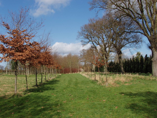
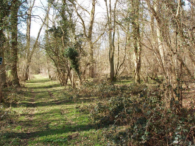
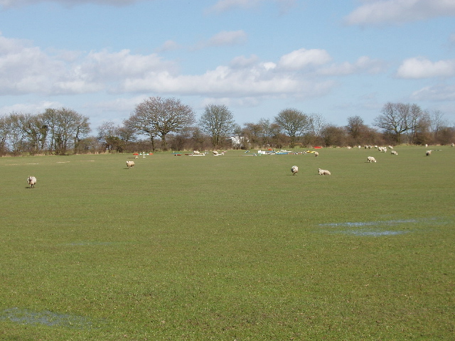
Black Leys is a picturesque woodland located in Oxfordshire, England. Stretching across an area of approximately 100 acres, it is known for its diverse array of trees and enchanting natural beauty. The woodland is situated in close proximity to the village of Wood, making it easily accessible to both locals and visitors.
Black Leys is home to an assortment of tree species including oak, beech, birch, and ash. The dense canopy formed by these trees provides a haven for various wildlife, attracting a plethora of birds, insects, and small mammals. The woodland floor is adorned with vibrant wildflowers such as bluebells and primroses during the springtime, creating a breathtaking sight for nature enthusiasts.
The woodland also features a network of well-maintained footpaths, enabling visitors to explore its hidden treasures. These pathways meander through the forest, offering glimpses of babbling brooks, moss-covered rocks, and peaceful clearings. Nature lovers can indulge in activities such as hiking, birdwatching, or simply enjoying a tranquil picnic amidst the serene surroundings.
Black Leys is not only appreciated for its natural beauty but also for its historical significance. It has been a protected area for several decades, and efforts have been made to preserve its integrity and prevent any disruption to its ecosystem.
Overall, Black Leys in Oxfordshire offers a captivating escape into nature, with its lush woodland, diverse wildlife, and peaceful atmosphere. It provides a sanctuary for both humans and animals alike, making it a cherished destination for outdoor enthusiasts and those seeking solace in the beauty of the natural world.
If you have any feedback on the listing, please let us know in the comments section below.
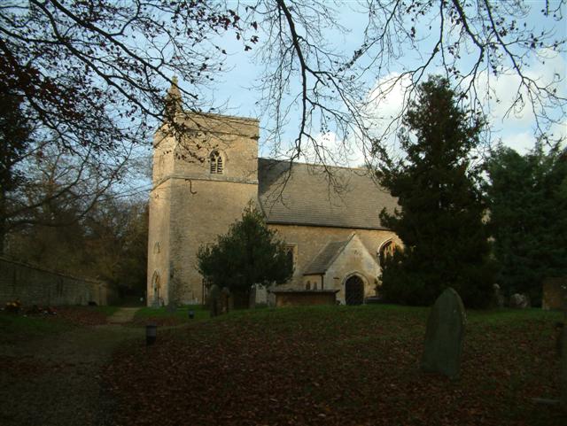
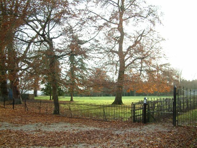
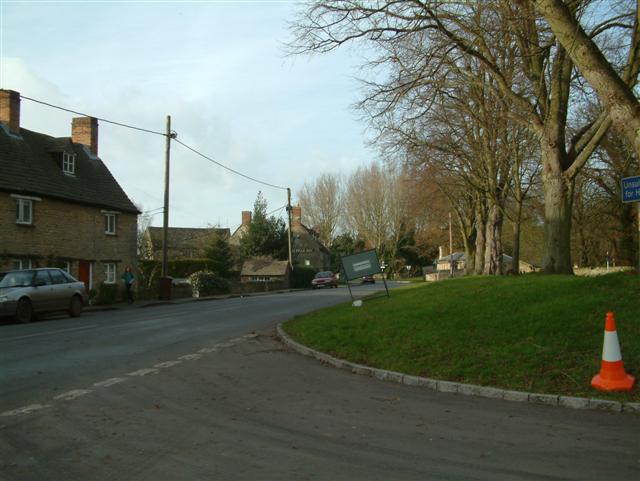
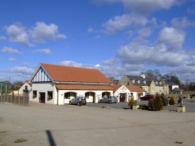
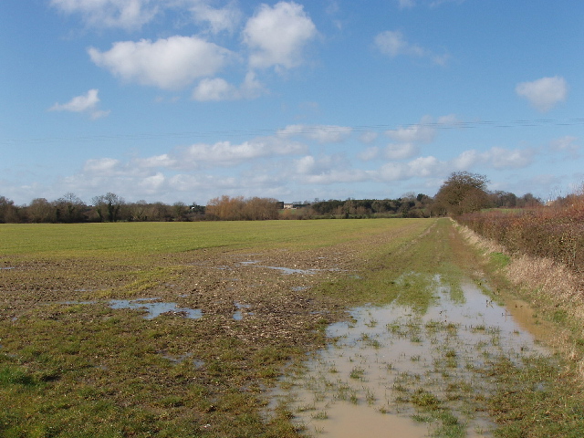
Black Leys Images
Images are sourced within 2km of 51.857713/-1.2448007 or Grid Reference SP5217. Thanks to Geograph Open Source API. All images are credited.


Black Leys is located at Grid Ref: SP5217 (Lat: 51.857713, Lng: -1.2448007)
Administrative County: Oxfordshire
District: Cherwell
Police Authority: Thames Valley
What 3 Words
///snuggled.broken.limo. Near Kidlington, Oxfordshire
Nearby Locations
Related Wikis

Ploughley Rural District
Ploughley was a rural district in Oxfordshire, England, from 1932 to 1974. It entirely surrounded Bicester but did not include it. It was created in 1932...

The Manor Country House Hotel, Weston-on-the-Green
The Manor Country House Hotel in Weston-on-the-Green is a building of historical significance and is Grade II* listed on the English Heritage Register...

Weston-on-the-Green
Weston-on-the-Green is a village and civil parish in the Cherwell district of Oxfordshire, England, about 4 miles (6 km) southwest of Bicester. The 2011...

Bletchingdon Park
Bletchington Park is a Grade II* listed Palladian country house in Bletchingdon, Oxfordshire. == History == Bletchington's medieval manor house was rebuilt...

Weston Fen, Oxfordshire
Weston Fen is a 14-hectare (35-acre) biological Site of Special Scientific Interest north of Weston-on-the-Green in Oxfordshire.This site has diverse habitats...

Bletchingdon
Bletchingdon (also known as Bletchington) is a village and civil parish 2 miles (3 km) north of Kidlington and 6 miles (10 km) southwest of Bicester in...

Weston Otmoor
Weston Otmoor was a proposed new eco-town in the north of Oxfordshire, England, in countryside to the east of the village of Weston-on-the-Green. It would...
Kirtlington
Kirtlington is a village and civil parish in Oxfordshire about 6+1⁄2 miles (10.5 km) west of Bicester. The parish includes the hamlet of Northbrook. The...
Nearby Amenities
Located within 500m of 51.857713,-1.2448007Have you been to Black Leys?
Leave your review of Black Leys below (or comments, questions and feedback).