Icehouse Spinney

Wood, Forest in Warwickshire Rugby

England

Icehouse Spinney

Layby on Watling Street, Gibbet Hill I am very consistent with my photo stops. <a title="https://www.geograph.org.uk/photo/6841735" href="https://www.geograph.org.uk/photo/6841735">Link</a>
Layby on Watling Street, Gibbet Hill Credit: David Howard

Icehouse Spinney is a picturesque woodland located in Warwickshire, England. Situated near the village of Wood, this forested area spans approximately 20 acres and is known for its tranquil and natural beauty. The spinney gets its name from the presence of an ancient icehouse, which was once used to store ice during the 17th and 18th centuries.

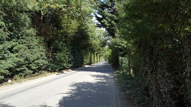
The woodland is predominantly composed of a mix of broadleaf trees, including oak, beech, and birch, creating a diverse and vibrant ecosystem. The leafy canopy provides shade and shelter for a variety of flora and fauna, making it a haven for wildlife enthusiasts and nature lovers alike.

Visitors to Icehouse Spinney can explore the forest via a network of well-maintained footpaths, allowing for leisurely walks and peaceful strolls. The woodland also features a small stream that meanders through its heart, adding to its charm and serenity.

Throughout the seasons, Icehouse Spinney offers a different experience. In the spring, the forest comes alive with a burst of colorful wildflowers, while the autumn brings a stunning display of golden hues as the leaves change. Winter casts a magical spell on the spinney, with frost-covered trees and a serene atmosphere.

Icehouse Spinney is a popular destination for families, hikers, and nature enthusiasts who are seeking a peaceful retreat from the hustle and bustle of everyday life. Its enchanting beauty and rich history make it a true gem in the Warwickshire countryside.

If you have any feedback on the listing, please let us know in the comments section below.

Icehouse Spinney Images

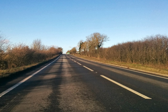
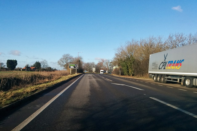
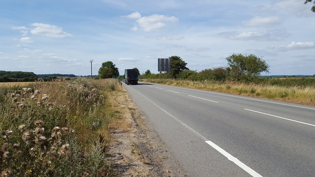
Images are sourced within 2km of 52.409321/-1.2355507 or Grid Reference SP5279. Thanks to Geograph Open Source API. All images are credited.

Layby on Watling Street, Gibbet Hill I am very consistent with my photo stops. <a title="https://www.geograph.org.uk/photo/6841735" href="https://www.geograph.org.uk/photo/6841735">Link</a>
Layby on Watling Street, Gibbet Hill
I am very consistent with my photo stops. Link
Layby on Watling Street, Gibbet Hill
Scrubland by Watling Street, Gibbet Hill This is an uncultivated meadow area.
Scrubland by Watling Street, Gibbet Hill
This is an uncultivated meadow area.
A5 northbound at Gibbet Hill roundabout
A5 heading north The Roman Watling Street.
A5 heading north
The Roman Watling Street.
Truck on Gibbet Hill roundabout At the A5/A426 junction.
Truck on Gibbet Hill roundabout
At the A5/A426 junction.
A5 heading north Approaching the Gibbet Hill roundabout, a crossing with the A426.
A5 heading north
Approaching the Gibbet Hill roundabout, a crossing with the A426.
The A5 at Gibbett Hill The A5 just south of the roundabout near to Heath Farm.
The A5 at Gibbett Hill
The A5 just south of the roundabout near to Heath Farm.
The A5 heading north The busy A5 heading towards Hinckley.
The A5 heading north
The busy A5 heading towards Hinckley.
Gibbert Lane Gibbert Lane looking east towards the quarry.
Gibbert Lane
Gibbert Lane looking east towards the quarry.
Petrol station on Gibbet Lane near Shawell It was previously Texaco
Petrol station on Gibbet Lane near Shawell
It was previously Texaco
Layby on Watling Street, Gibbet Hill
Holy Trinity Church
Holy Trinity Church
M6 motorway crossing the valley of the River Swift Seen from the western edge of Rugby Services.
M6 motorway crossing the valley of the River Swift
Seen from the western edge of Rugby Services.
Rugby service station When Britain's first motorways were built, provision was made for service stations every twelve miles, though often only alternate sites were developed with the unused ones reserved for use later when traffic loads increased.  The original M6 included a site at Harborough Magna about two miles to the west of junction 1, which was never developed.  (Traces can be seen at <a href="https://www.geograph.org.uk/photo/6861395">SP4780 : M6 motorway, eastbound, approaching Harborough Magna service station site</a>, <a href="https://www.geograph.org.uk/photo/6861399">SP4880 : Harborough Magna service station site, M6</a> and <a href="https://www.geograph.org.uk/photo/6861401">SP4880 : Harborough Magna service station site, M6</a>.)  Rugby services - in line with current trends, located off a junction and thus accessible to non-motorway traffic - opened in summer 2021, filling after many years the gap between Corley to the west and Watford Gap on the M1.
Rugby service station
When Britain's first motorways were built, provision was made for service stations every twelve miles, though often only alternate sites were developed with the unused ones reserved for use later when traffic loads increased. The original M6 included a site at Harborough Magna about two miles to the west of junction 1, which was never developed. (Traces can be seen at SP4780 : M6 motorway, eastbound, approaching Harborough Magna service station site, SP4880 : Harborough Magna service station site, M6 and SP4880 : Harborough Magna service station site, M6.) Rugby services - in line with current trends, located off a junction and thus accessible to non-motorway traffic - opened in summer 2021, filling after many years the gap between Corley to the west and Watford Gap on the M1.
M6 north-east of Rugby
Rugby Motorway Services
Rugby service station, sunset light
Show me another place!

Icehouse Spinney is located at Grid Ref: SP5279 (Lat: 52.409321, Lng: -1.2355507)

Administrative County: Warwickshire

District: Rugby

Police Authority: Warwickshire

What 3 Words

///oldest.twins.priced. Near Rugby, Warwickshire

Related Wikis

Coton House

Coton House is a late 18th-century country house at Churchover, near Rugby, Warwickshire in England. It is a Grade II* listed building.The Manor of Coton...
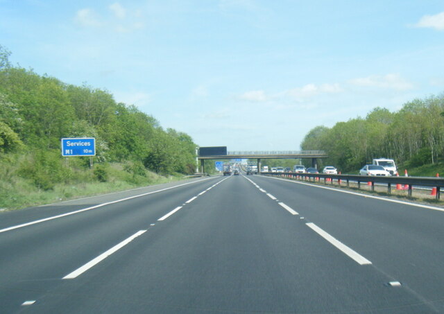
Rugby services

Rugby services is a motorway service station operated by Moto Hospitality and situated at junction 1 of the M6 motorway in Warwickshire, England. ��2...
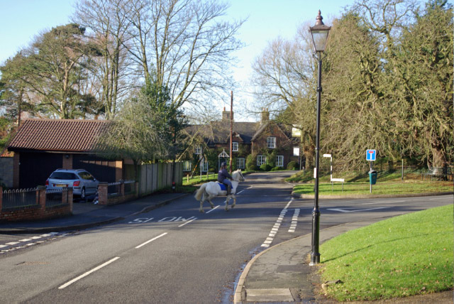
Churchover

Churchover is a small village and civil parish in Warwickshire, England. The population of the parish in the 2001 census was 230, increasing to 251 at...
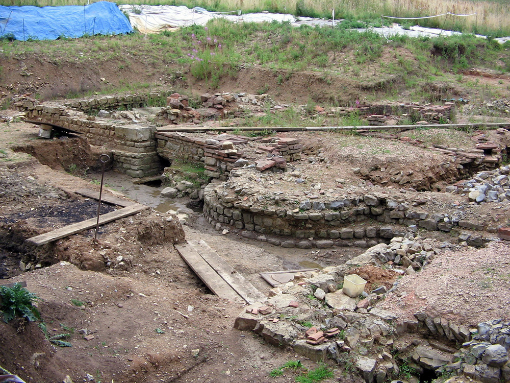
Tripontium

Tripontium (Latin for "Place of three bridges") was a town in Roman Britain. It lay on the Roman road later called Watling Street (and known today as the...

Nearby Amenities

Located within 500m of 52.409321,-1.2355507
Motorway Junction
Rugby
Exit To: A426 Rugby
Ref: 1
Lat/Long: 52.4072776/-1.2375404
Passing Place
Lat/Long: 52.4125156/-1.2346036
Colour: red and white
Marker: aerial
Material: plastic
Utility: gas
Lat/Long: 52.4075715/-1.2363582
Colour: red and white
Marker: aerial
Material: plastic
Utility: gas
Lat/Long: 52.4070162/-1.236421
The data included in this document is from www.openstreetmap.org. The data is made available under ODbL.

Have you been to Icehouse Spinney?

Leave your review of Icehouse Spinney below (or comments, questions and feedback).