Hoppinghill Plantation
Wood, Forest in Nottinghamshire Gedling
England
Hoppinghill Plantation
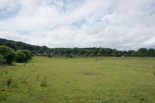
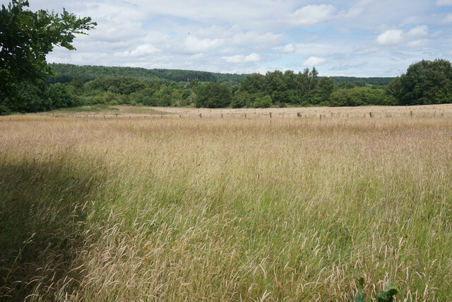
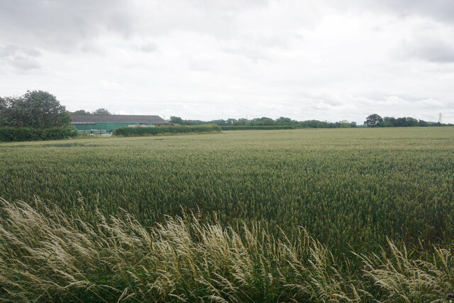
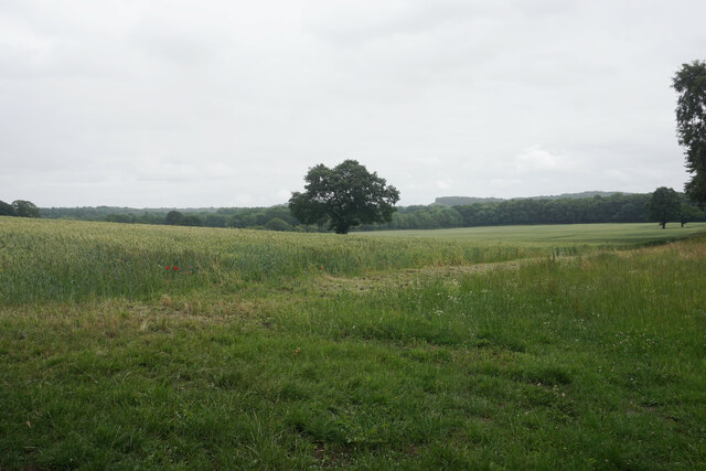
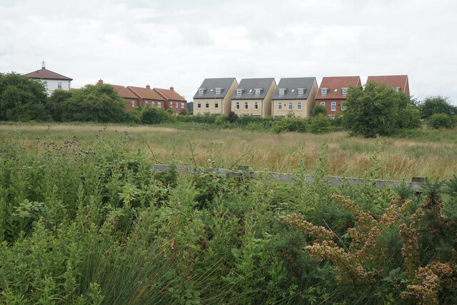
Hoppinghill Plantation is a picturesque woodland located in Nottinghamshire, England. Situated in the heart of Sherwood Forest, this plantation covers an area of approximately 100 acres and is renowned for its natural beauty and rich biodiversity.
The woodland is predominantly composed of mature oak and birch trees, creating a dense and enchanting canopy that provides a habitat for a wide array of flora and fauna. The forest floor is adorned with a variety of wildflowers, including bluebells and primroses, which add bursts of color to the landscape during the spring months.
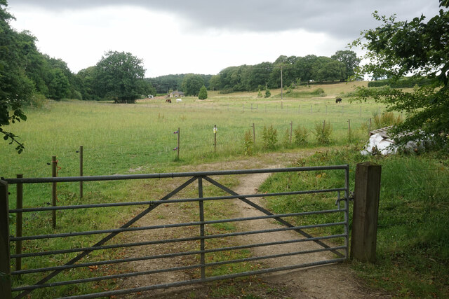
Hoppinghill Plantation is home to a diverse range of wildlife, making it a haven for nature enthusiasts. The woodland is teeming with birdlife, with species such as woodpeckers, owls, and songbirds frequently spotted amongst the treetops. Additionally, small mammals like foxes, badgers, and squirrels can be observed scurrying through the undergrowth.
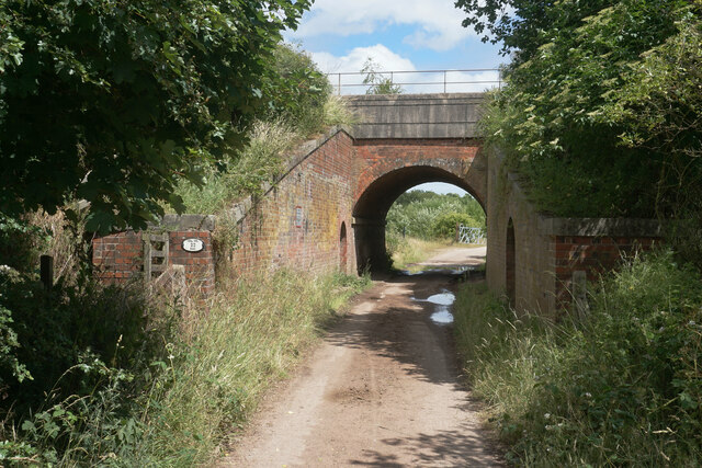
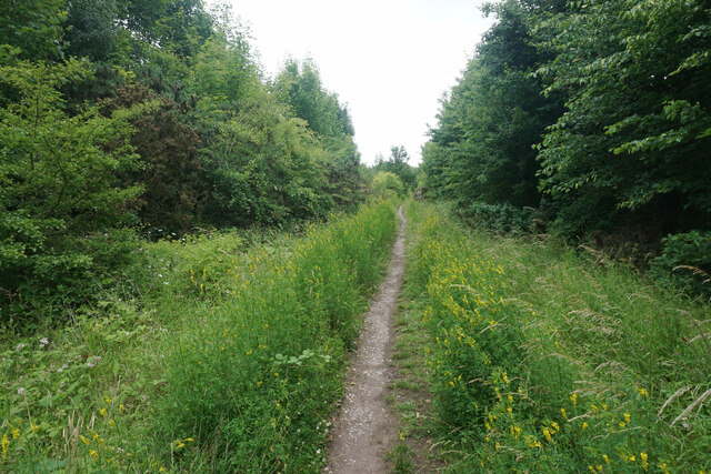
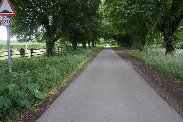
The plantation offers several well-maintained footpaths and trails, allowing visitors to explore its beauty at their leisure. Whether taking a leisurely stroll or embarking on a more adventurous hike, visitors can immerse themselves in the tranquility of the woodland and enjoy its serene atmosphere.
Hoppinghill Plantation is not only a popular destination for nature lovers but also serves as an important ecological site. The woodland plays a crucial role in conserving and protecting local biodiversity, providing a vital habitat for many endangered plant and animal species.
Overall, Hoppinghill Plantation is a captivating destination that offers a peaceful retreat for those seeking to connect with nature and explore the beauty of Sherwood Forest.
If you have any feedback on the listing, please let us know in the comments section below.
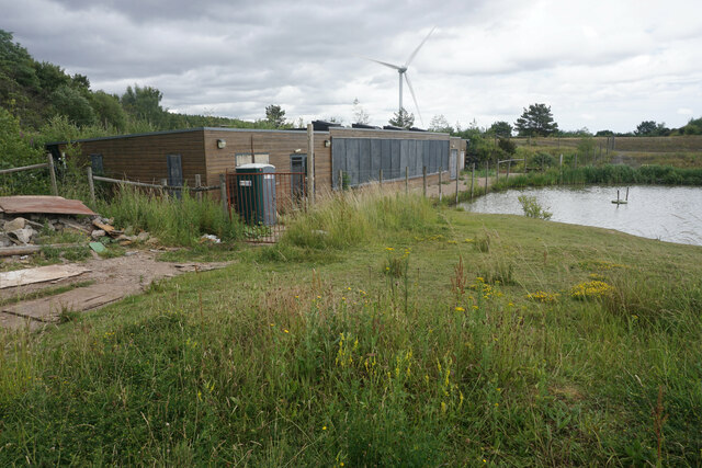
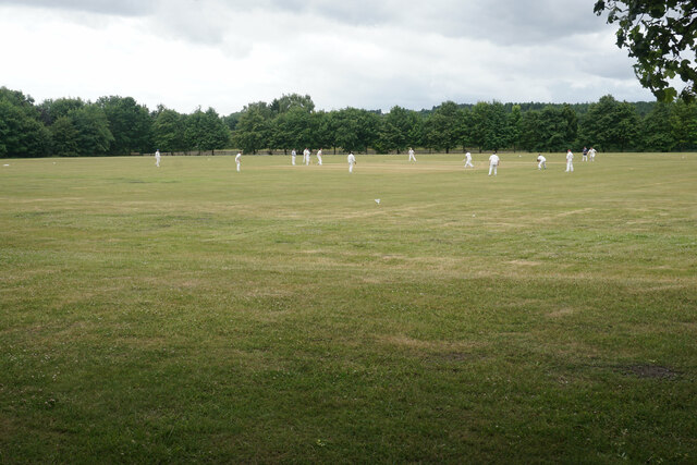
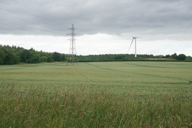
Hoppinghill Plantation Images
Images are sourced within 2km of 53.066829/-1.2251277 or Grid Reference SK5252. Thanks to Geograph Open Source API. All images are credited.


Hoppinghill Plantation is located at Grid Ref: SK5252 (Lat: 53.066829, Lng: -1.2251277)
Administrative County: Nottinghamshire
District: Gedling
Police Authority: Nottinghamshire
What 3 Words
///unopposed.locals.zoom. Near Kirkby in Ashfield, Nottinghamshire
Nearby Locations
Related Wikis
Newstead, Nottinghamshire
Newstead is a village and civil parish in Nottinghamshire, England in the borough of Gedling. It is situated between the city of Nottingham and the towns...
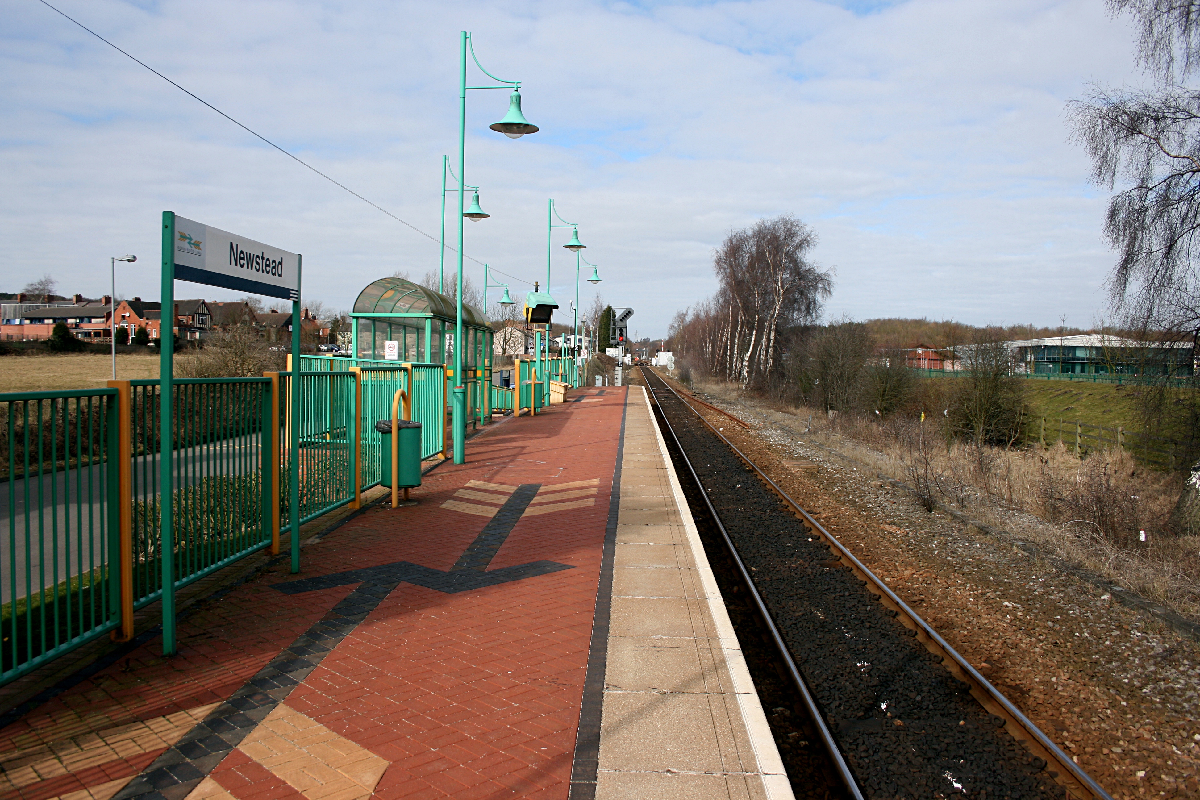
Newstead railway station
Newstead railway station serves the village of Newstead in Nottinghamshire, England. Newstead was the original terminus of the Robin Hood Line when it...

Newstead and Annesley railway station
Newstead and Annesley railway station was a station on the Great Northern Railway's Nottingham to Shirebrook line. == History == == Present day == No trace...

Annesley South Junction Halt railway station
Annesley South Junction Halt is a former halt on the Great Central Railway on the section between Nottingham Victoria and Sheffield Victoria. The halt...
Annesley railway station
Annesley railway station was a station in Annesley, Nottinghamshire. It was opened in 1874, to serve the mining village of Annesley which had grown following...

Misk Hills
The Misk Hills consist of a gently undulating sandstone plateau between Hucknall and Annesley in the county of Nottinghamshire in the North East Midlands...
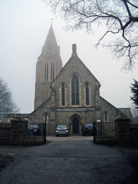
All Saints' Church, Annesley
All Saints' Church, Annesley is a parish church in the Church of England in Annesley, Nottinghamshire. The church is Grade II* listed by the Department...
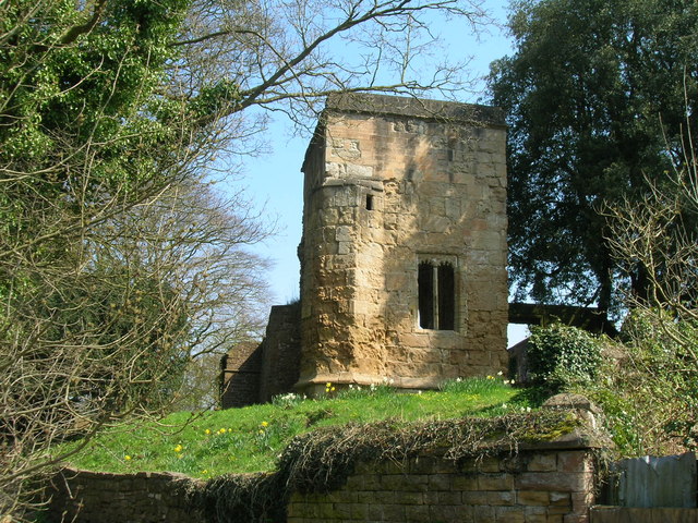
Annesley Old Church
Annesley Old Church or the Church of All Saints, Annesley Park, is a disused church in a ruinous condition which stands on a mound near to Annesley Hall...
Nearby Amenities
Located within 500m of 53.066829,-1.2251277Have you been to Hoppinghill Plantation?
Leave your review of Hoppinghill Plantation below (or comments, questions and feedback).