Nancy Bowles Wood

Wood, Forest in Oxfordshire Cherwell

England

Nancy Bowles Wood

Souldern-Keeper's Hill Looking from the entrance to the Mill House.
Souldern-Keeper's Hill Credit: Ian Rob

Nancy Bowles Wood is a beautiful forest located in Oxfordshire, England. Spanning an area of approximately 200 acres, it is a haven for nature lovers and outdoor enthusiasts. The forest is named after Nancy Bowles, a prominent local figure who played a significant role in the preservation and development of the area.

Nancy Bowles Wood is characterized by its diverse range of trees, including oak, beech, and birch, creating a stunning canopy that stretches across the landscape. The forest is also home to a variety of wildlife, including deer, foxes, and a wide array of bird species, making it a popular spot for birdwatching and wildlife photography.

The forest offers a range of recreational activities for visitors. There are numerous walking trails that wind through the woods, allowing visitors to explore the forest at their own pace. These trails are suitable for all ages and fitness levels, providing a great opportunity for families to enjoy a day out in nature. The forest also has designated picnic areas, perfect for enjoying a packed lunch surrounded by the tranquil surroundings.

In addition to its natural beauty, Nancy Bowles Wood has historical significance. It is believed to have been used as a hunting ground by the ancient Romans, with remnants of their presence still visible in the form of old stone walls and pathways.

Overall, Nancy Bowles Wood in Oxfordshire offers a serene and picturesque setting for visitors to connect with nature and enjoy the great outdoors. Whether it's exploring the trails, spotting wildlife, or simply relaxing amidst the peaceful environment, this forest is a must-visit destination for nature enthusiasts.

If you have any feedback on the listing, please let us know in the comments section below.

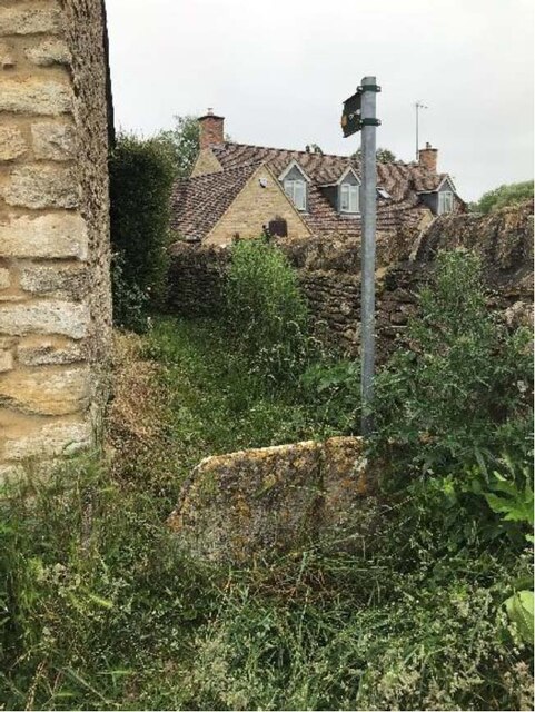
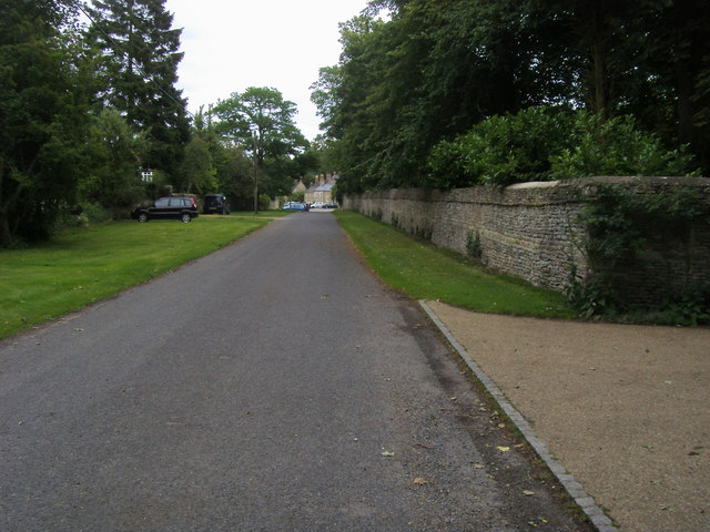
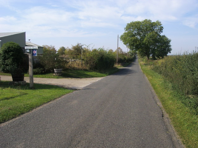
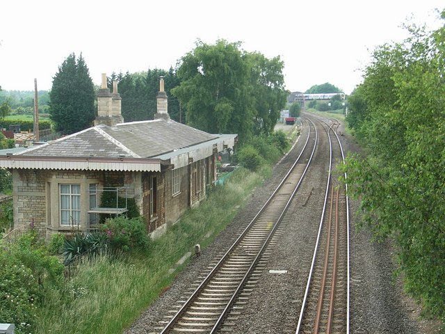
Nancy Bowles Wood Images

Images are sourced within 2km of 51.974274/-1.2451289 or Grid Reference SP5130. Thanks to Geograph Open Source API. All images are credited.

Souldern-Keeper's Hill Looking from the entrance to the Mill House.
Souldern-Keeper's Hill
Looking from the entrance to the Mill House.
Souldern-Bonners Bridge Railway crossing the road to Wharf Farm.
Souldern-Bonners Bridge
Railway crossing the road to Wharf Farm.
Souldern-Old Shaws Turning out of Wharf Lane towards the village centre.
Souldern-Old Shaws
Turning out of Wharf Lane towards the village centre.
Banbury Road, Souldern
Stone Stile, Souldern GS12001 Off Bates Street Souldern near Bicester, Oxfordshire footpath 351/17/20. This is looking NW to the road, the view from the road is <a href="https://www.geograph.org.uk/photo/7218044">SP5131 : Stone Stile, Souldern GS12001</a>.
Stone Stile, Souldern GS12001
Off Bates Street Souldern near Bicester, Oxfordshire footpath 351/17/20. This is looking NW to the road, the view from the road is SP5131 : Stone Stile, Souldern GS12001.
Stone Stile, Souldern GS12001 Off Bates Street Souldern near Bicester, Oxfordshire footpath 351/17/20. This is looking SE from the road, the view from the footpath is <a href="https://www.geograph.org.uk/photo/7218041">SP5131 : Stone Stile, Souldern GS12001</a>.
Stone Stile, Souldern GS12001
Off Bates Street Souldern near Bicester, Oxfordshire footpath 351/17/20. This is looking SE from the road, the view from the footpath is SP5131 : Stone Stile, Souldern GS12001.
St Olave's Church, Fritwell
M40 near Foxwell Barn
Overbridge by Foxhill Barn, M40
Wharf Lane Overbridge, M40
Water Tower by the M40 A water tower is an elevated structure supporting a water tank constructed at a height sufficient to pressurize a water supply system for the distribution of drinkable water, and to provide emergency storage for fire protection.
Wikipedia: <span class="nowrap"><a title="http://en.wikipedia.org/wiki/Water_tower" rel="nofollow ugc noopener" href="http://en.wikipedia.org/wiki/Water_tower">Link</a><img style="margin-left:2px;" alt="External link" title="External link - shift click to open in new window" src="https://s1.geograph.org.uk/img/external.png" width="10" height="10"/></span>
Water Tower by the M40
A water tower is an elevated structure supporting a water tank constructed at a height sufficient to pressurize a water supply system for the distribution of drinkable water, and to provide emergency storage for fire protection. Wikipedia: LinkExternal link
Seven Shires Way Seven Shires Way on the road from Wharf Farm heading under railway bridge heading to Souldern
Seven Shires Way
Seven Shires Way on the road from Wharf Farm heading under railway bridge heading to Souldern
Seven Shires Way Seven Shires Way on the road from Wharf Farm entering Souldern
Seven Shires Way
Seven Shires Way on the road from Wharf Farm entering Souldern
Footpath to Souldern Footpath to Souldern heading into The Firs
Footpath to Souldern
Footpath to Souldern heading into The Firs
Setting out from Aynho on the path to Souldern
Bridleway at Horwell Corner Near Tower Fields the bridleway to Horwell Corner
Bridleway at Horwell Corner
Near Tower Fields the bridleway to Horwell Corner
Road passing Tower Fields Road to Souldern passing Tower Fields
Road passing Tower Fields
Road to Souldern passing Tower Fields
Show me another place!

Nancy Bowles Wood is located at Grid Ref: SP5130 (Lat: 51.974274, Lng: -1.2451289)

Administrative County: Oxfordshire

District: Cherwell

Police Authority: Thames Valley

What 3 Words

///protects.modifies.gazes. Near Somerton, Oxfordshire

Nearby Locations

Nancy Bowles Wood Souldern

Related Wikis

Souldern

Souldern is a village and civil parish in Oxfordshire about 7 miles (11 km) northwest of Bicester and a similar distance southeast of Banbury. The parish...

Church of the Annunciation to the Blessed Virgin Mary, Souldern

The Parish Church of the Annunciation to the Blessed Virgin Mary is the Church of England parish church of Souldern, a village in Oxfordshire about 7 miles...

Fritwell Manor

Fritwell Manor is a house in Fritwell, Oxfordshire, England. It is a Grade II* listed building. == History == In 1520, the manor at Fritwell was owned...

Fritwell

Fritwell is a village and civil parish about 5+1⁄2 miles (9 km) northwest of Bicester in Oxfordshire. The 2011 Census recorded the parish's population...

Aynhoe Park

Aynhoe Park (alternately known as Aynho Park) is a 17th-century country estate consisting of land and buildings that were rebuilt after the English Civil...

St Michael's Church, Aynho

St Michael's Church is a Grade I listed church in Aynho, Northamptonshire. == History == The church has a late medieval tower which was built after the...

Aynho Park railway station

Aynho Park was a railway station serving the village of Aynho in Northamptonshire, England. It was on what is now known as the Chiltern Main Line. ��2...

Aynho for Deddington railway station

Aynho for Deddington railway station was a railway station serving the village of Aynho in Northamptonshire, England. It was on what is now known as the...

Nearby Amenities

Located within 500m of 51.974274,-1.2451289
Barrier: stile
Lat/Long: 51.9784359/-1.2432843
Tourism: picnic_site
Lat/Long: 51.9745774/-1.2453224
Barrier: stile
Lat/Long: 51.9751517/-1.2426949
Barrier: stile
Lat/Long: 51.9774164/-1.2488974
Barrier: stile
Lat/Long: 51.977593/-1.2471917
Barrier: stile
Lat/Long: 51.9777108/-1.2493788
The Barn at Solden
Place: farm
Lat/Long: 51.9739908/-1.238176
Bench
Backrest: yes
Source: survey
Lat/Long: 51.9744333/-1.2456947
Power: pole
Lat/Long: 51.9751565/-1.2385045
The data included in this document is from www.openstreetmap.org. The data is made available under ODbL.

Have you been to Nancy Bowles Wood?

Leave your review of Nancy Bowles Wood below (or comments, questions and feedback).