Black Plantation

Wood, Forest in Yorkshire Harrogate

England

Black Plantation

Steam Roller at Rufforth Airfield near York In the early 1980s the Ouse Gliding Club (now the York Gliding Centre) needed a new access road, and had laid a rough track which had become full of potholes. We had laid extra rubble on the track, but the result was not very satisfactory. By chance, one of the committee members came across this steam roller near his home. Chatting to the owner he found he was keen to do some real rolling with his engine, so it was agreed that we would pay for his coal and he would have a rare opportunity to work his roller.
Steam Roller at Rufforth Airfield near York Credit: Rich Tea

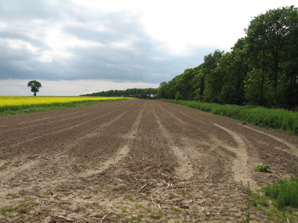
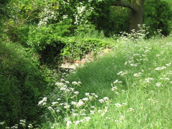
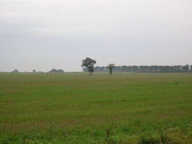
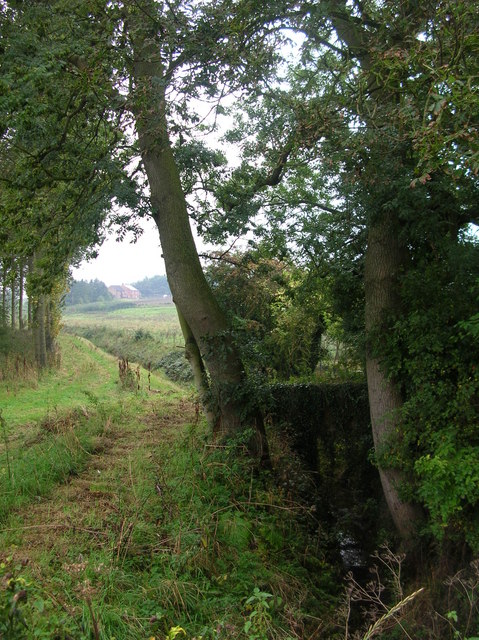
Black Plantation is a woodland located in Yorkshire, England. Situated in the eastern part of the county, it covers an area of approximately 100 acres. The plantation is characterized by its dense and diverse forest, consisting primarily of deciduous trees such as oak, ash, and beech, as well as conifers like pine and spruce.

The name "Black Plantation" is derived from the dark color of the soil found in the area, which is a result of the high organic content accumulated over centuries. This fertile soil supports a rich variety of plant life, including ferns, mosses, and wildflowers, creating a vibrant and picturesque environment.

The woodland is home to a diverse range of wildlife, with many species finding refuge within its boundaries. Birds such as woodpeckers, owls, and various songbirds can be observed here, while small mammals like squirrels, rabbits, and hedgehogs are also commonly sighted. Additionally, Black Plantation is known for its population of deer, which can often be spotted roaming the forest.

The woodland is a popular destination for nature enthusiasts, hikers, and photographers. It offers a network of well-maintained trails that wind through the forest, allowing visitors to explore its beauty and tranquility. These paths provide opportunities for leisurely walks, as well as more challenging hikes for those seeking a more adventurous experience.

Overall, Black Plantation in Yorkshire is a captivating woodland that offers a haven for both flora and fauna, as well as a serene escape for individuals seeking solace in nature.

If you have any feedback on the listing, please let us know in the comments section below.

Black Plantation Images

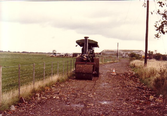
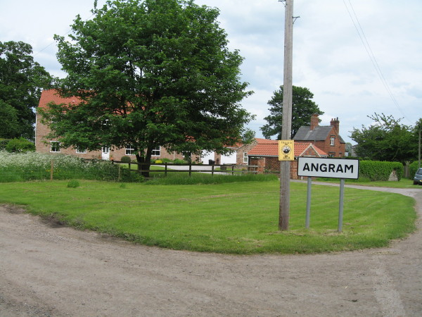
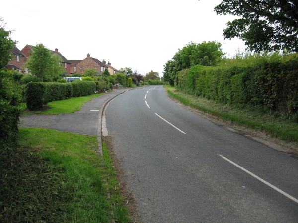
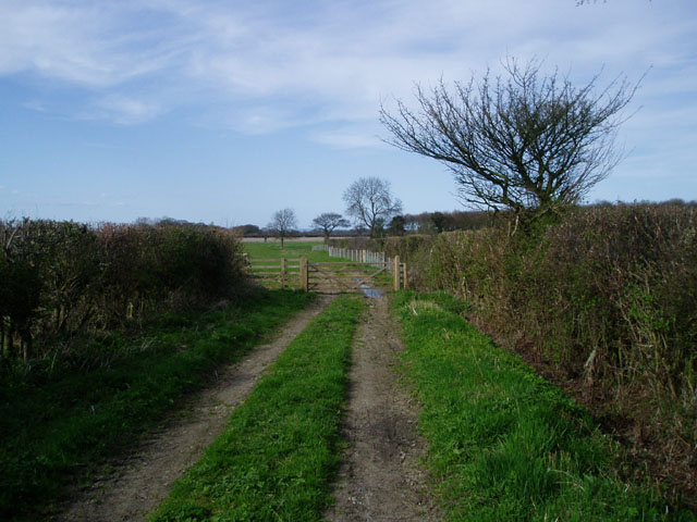
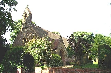
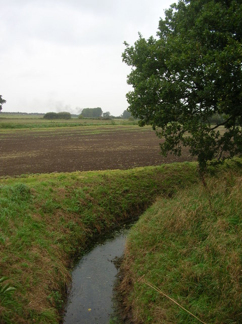
Images are sourced within 2km of 53.940574/-1.2105716 or Grid Reference SE5149. Thanks to Geograph Open Source API. All images are credited.

Steam Roller at Rufforth Airfield near York In the early 1980s the Ouse Gliding Club (now the York Gliding Centre) needed a new access road, and had laid a rough track which had become full of potholes. We had laid extra rubble on the track, but the result was not very satisfactory. By chance, one of the committee members came across this steam roller near his home. Chatting to the owner he found he was keen to do some real rolling with his engine, so it was agreed that we would pay for his coal and he would have a rare opportunity to work his roller.
Steam Roller at Rufforth Airfield near York
In the early 1980s the Ouse Gliding Club (now the York Gliding Centre) needed a new access road, and had laid a rough track which had become full of potholes. We had laid extra rubble on the track, but the result was not very satisfactory. By chance, one of the committee members came across this steam roller near his home. Chatting to the owner he found he was keen to do some real rolling with his engine, so it was agreed that we would pay for his coal and he would have a rare opportunity to work his roller.
Corbit Belt
Corbit Belt
Dam Bridge This location is named on the OS Map and I presume that it refers to this very ancient brick bridge alongside the road bridge, which is little more than a culvert.
Dam Bridge
This location is named on the OS Map and I presume that it refers to this very ancient brick bridge alongside the road bridge, which is little more than a culvert.
Angram Howcar Farm to left of photo, seen here at north-west entrance to village along Dam Hill.
Angram
Howcar Farm to left of photo, seen here at north-west entrance to village along Dam Hill.
Angram (South East)
Angram (South East)
End of farm track near Angram
Askham Richard, St Mary's Church This Church is just slightly to the east of centre of the southern boundary line on the O/s grid which it occupies.
Askham Richard, St Mary's Church
This Church is just slightly to the east of centre of the southern boundary line on the O/s grid which it occupies.
Healaugh Beck Healaugh Beck as it crosses under the York Road.
Healaugh Beck
Healaugh Beck as it crosses under the York Road.
Bustard Belt Farmland on the outskirts of Hutton Wandesley. The line of trees is called Bustard Belt.
Bustard Belt
Farmland on the outskirts of Hutton Wandesley. The line of trees is called Bustard Belt.
Angram Dam Bridge Yorkshire Water have a pumping station beside this tiny beck.
Angram Dam Bridge
Yorkshire Water have a pumping station beside this tiny beck.
Angram The village of Angram on the west of York.
Angram
The village of Angram on the west of York.
Outskirts of Angram Looking back towards the village of Angram from the Askham road.
Outskirts of Angram
Looking back towards the village of Angram from the Askham road.
Ouse Gliding Club The entrance to the Ouse gliding club from Bradley Lane.
Ouse Gliding Club
The entrance to the Ouse gliding club from Bradley Lane.
Approaching the junction Low Moor Lane meets School Lane, coming from Rufforth going to Askham Richard.
Approaching the junction
Low Moor Lane meets School Lane, coming from Rufforth going to Askham Richard.
Low Moor Lane Looking towards Rufforth along Low Moor Lane.
Low Moor Lane
Looking towards Rufforth along Low Moor Lane.
The road to Rufforth Walking from Askham Richard.
The road to Rufforth
Walking from Askham Richard.
Trees near Rufforth Taken from the tram tracks in the field.
Trees near Rufforth
Taken from the tram tracks in the field.
Looking towards the road Taken from the middle of a field, near Rufforth, York.
Looking towards the road
Taken from the middle of a field, near Rufforth, York.
Show me another place!

Black Plantation is located at Grid Ref: SE5149 (Lat: 53.940574, Lng: -1.2105716)

Division: West Riding

Administrative County: North Yorkshire

District: Harrogate

Police Authority: North Yorkshire

What 3 Words

///diverting.escaping.reefs. Near Askham Richard, North Yorkshire

Related Wikis

Boroughbridge High School

Boroughbridge High School is a mixed, nonselective, state secondary school in Boroughbridge, North Yorkshire, England. The school was awarded arts specialist...

Angram, Harrogate

Angram is a village in the civil parish of Long Marston, near Bilbrough, in North Yorkshire, England. Angram was historically a township in the ancient...

All Saints' Church, Long Marston

All Saints' Church is the parish church of Long Marston, a village in the Harrogate district of North Yorkshire, in England. A chapel was built at the...

RAF Rufforth

Royal Air Force Rufforth or RAF Rufforth is a former Royal Air Force station located near Rufforth in North Yorkshire, England. It was used by only one...

Have you been to Black Plantation?

Leave your review of Black Plantation below (or comments, questions and feedback).