Copeland Plantation
Wood, Forest in Yorkshire Harrogate
England
Copeland Plantation

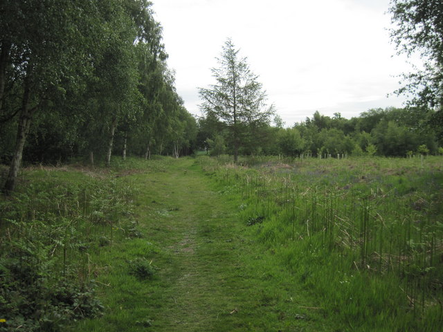
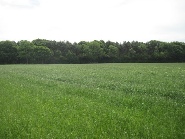
Copeland Plantation, located in Yorkshire, England, is a sprawling woodland area encompassing vast stretches of dense forest. Covering an impressive area of over 500 acres, this plantation is a haven for nature enthusiasts and outdoor enthusiasts alike.
The plantation is known for its diverse range of tree species, including oak, beech, and pine trees, which provide a picturesque and tranquil setting for visitors. The dense canopy of the forest creates a serene atmosphere, making it an ideal destination for those seeking peace and solitude amidst nature.
The plantation is home to a myriad of wildlife species, including deer, foxes, and a variety of bird species. This makes it a popular spot for birdwatching and wildlife photography. Visitors may also come across various flora and fauna, such as wildflowers and ferns, adding to the beauty and biodiversity of the area.
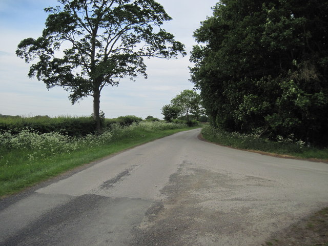
Copeland Plantation offers numerous walking trails and paths, allowing visitors to explore the woodland at their leisure. These trails range in difficulty, catering to both casual strollers and experienced hikers. The plantation also has designated picnic areas, providing a perfect spot for visitors to relax and enjoy a meal amidst the natural surroundings.
Additionally, the plantation offers educational programs and guided tours for schools and groups, providing an opportunity to learn about the importance of woodland conservation and the local ecosystem.
Overall, Copeland Plantation is a captivating woodland retreat that offers a serene escape from the hustle and bustle of everyday life, allowing visitors to immerse themselves in the beauty and tranquility of nature.
If you have any feedback on the listing, please let us know in the comments section below.
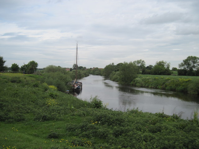
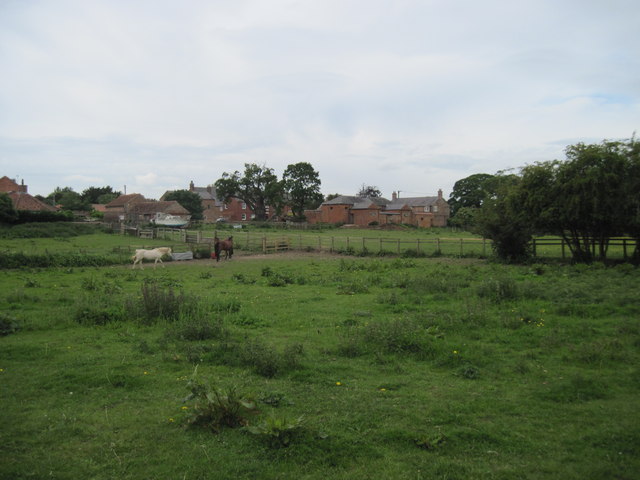
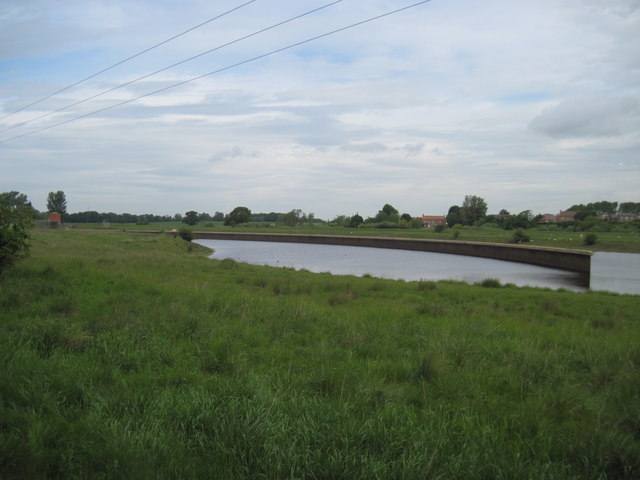
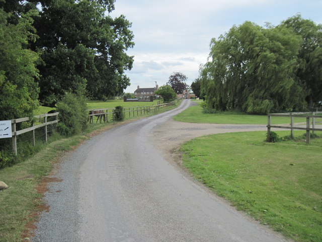
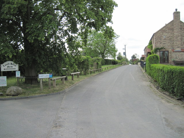
Copeland Plantation Images
Images are sourced within 2km of 53.999715/-1.2105518 or Grid Reference SE5156. Thanks to Geograph Open Source API. All images are credited.


Copeland Plantation is located at Grid Ref: SE5156 (Lat: 53.999715, Lng: -1.2105518)
Division: West Riding
Administrative County: North Yorkshire
District: Harrogate
Police Authority: North Yorkshire
What 3 Words
///dragons.town.stall. Near Nether Poppleton, North Yorkshire
Nearby Locations
Related Wikis

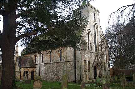
All Saints' Church, Moor Monkton
All Saints' Church is the parish church of Moor Monkton, a village north-west of York in England. The church dates from the 12th century, when the nave...

Moor Monkton
Moor Monkton is a village and civil parish in the former Harrogate District of North Yorkshire, England. It is situated on the River Nidd and 7 miles...

Red House, Moor Monkton
The Red House is a historic building in Moor Monkton, north-west of York in England. == History == The first Red House was constructed before 1342, when...

River Nidd
The River Nidd is a tributary of the River Ouse in the English county of North Yorkshire. In its first few miles it is dammed three times to create Angram...
St Mary's Church, Nun Monkton
St Mary's Church is the parish church of Nun Monkton, in North Yorkshire, in England. == History == Nun Monkton Priory was founded in 1172 by Ivetta of...

Marston Moor railway station
Marston Moor railway station served the village of Long Marston, North Yorkshire, England from 1848 to 1967 on the Harrogate line. == History == The station...

Nun Monkton
Nun Monkton is a village and civil parish in the Harrogate district of North Yorkshire, England. It is situated 8 miles (13 km) northwest of York at the...

Beningbrough
Beningbrough is a village and civil parish in the Hambleton district of North Yorkshire, England. The population as taken at the 2011 Census was less than...
Nearby Amenities
Located within 500m of 53.999715,-1.2105518Have you been to Copeland Plantation?
Leave your review of Copeland Plantation below (or comments, questions and feedback).