Bulwell Wood
Wood, Forest in Nottinghamshire Ashfield
England
Bulwell Wood

Bulwell Wood is a small but significant woodland area located in the county of Nottinghamshire, England. Covering an area of approximately 247 acres, it is situated just a few miles north of the city of Nottingham. The wood is a designated Local Nature Reserve, and it forms part of the wider Bulwell Forest, which includes Bulwell Hall Park and Bulwell Common.
Bulwell Wood is primarily composed of broadleaf trees, such as oak, birch, and beech, which create a diverse and rich habitat for a variety of flora and fauna. The woodland is particularly known for its bluebell displays in spring, attracting visitors from far and wide.
The wood has a network of footpaths and trails, making it popular among walkers, joggers, and nature enthusiasts. The paths meander through the lush greenery, offering peaceful and serene surroundings. Wildlife is abundant in the area, and it is possible to spot birds, squirrels, and even deer in the woodland.
The wood also has historical significance, with remnants of an ancient motte-and-bailey castle located within its boundaries. This castle, known as Bulwell Castle, dates back to the 12th century and was once a defensive structure.
Overall, Bulwell Wood is a cherished natural gem in Nottinghamshire, providing a haven for both nature lovers and history enthusiasts alike. Its tranquil atmosphere, diverse flora and fauna, and accessibility make it a popular destination for those seeking a peaceful escape from the hustle and bustle of city life.
If you have any feedback on the listing, please let us know in the comments section below.
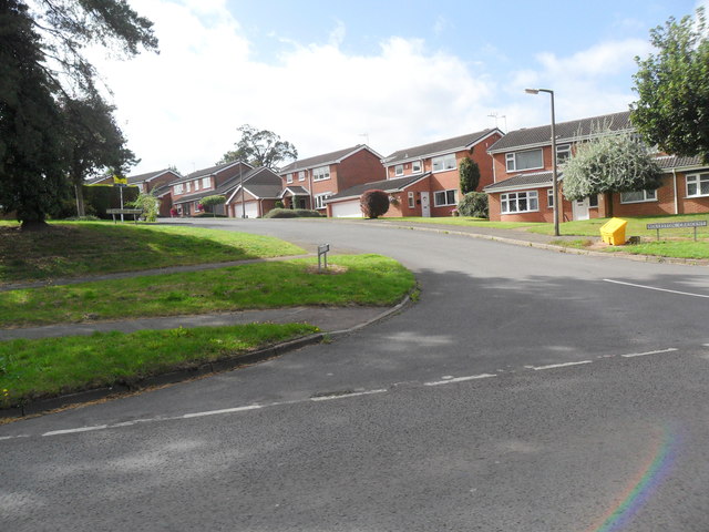
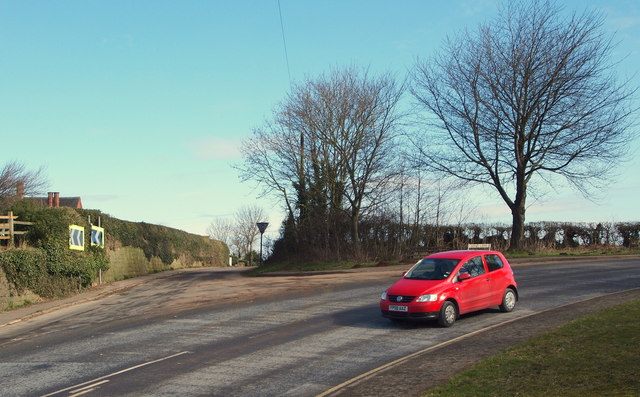
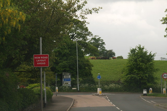
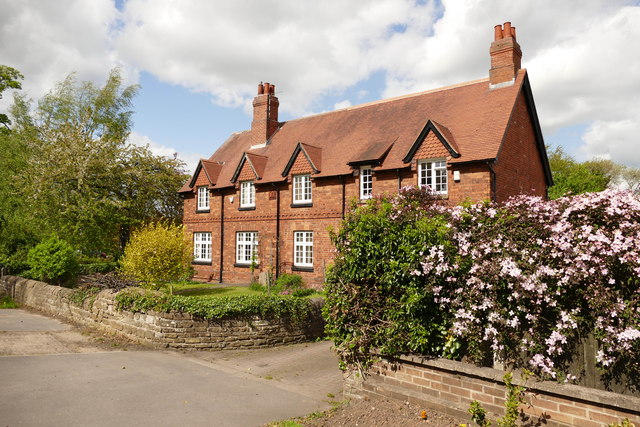
Bulwell Wood Images
Images are sourced within 2km of 53.011359/-1.2297431 or Grid Reference SK5146. Thanks to Geograph Open Source API. All images are credited.


Bulwell Wood is located at Grid Ref: SK5146 (Lat: 53.011359, Lng: -1.2297431)
Administrative County: Nottinghamshire
District: Ashfield
Police Authority: Nottinghamshire
What 3 Words
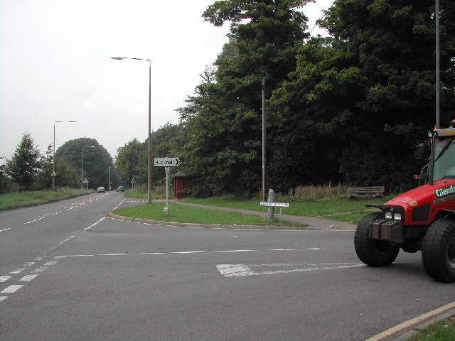
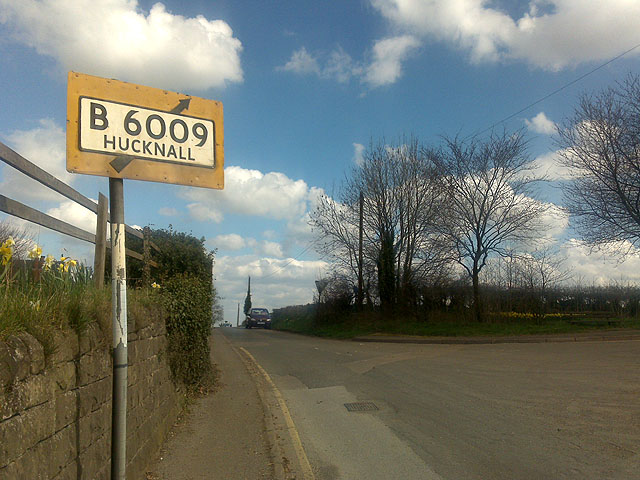
///apples.things.remote. Near Hucknall, Nottinghamshire
Nearby Locations
Related Wikis
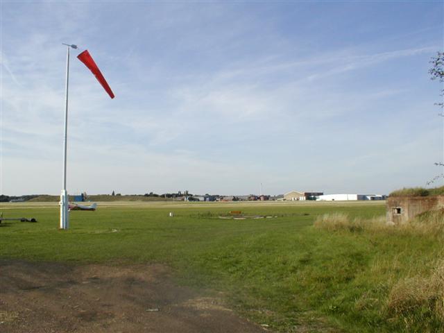
Hucknall Aerodrome
Hucknall Aerodrome (ICAO: EGNA) was a former general aviation and RAF aerodrome located 5 nmi (9.3 km; 5.8 mi) north north-west of Nottingham, Nottinghamshire...

No. 16 (Polish) Flying Training School RAF
No. 16 (Polish) Flying Training School RAF (16 (P) FTS) is a former Royal Air Force flying training school that operated between 1940 and 1946. == History... ==
Seller's Wood
Seller's Wood is a Site of Special Scientific Interest on the northern outskirts of Nottingham, England. There are several wildlife ponds within the site...
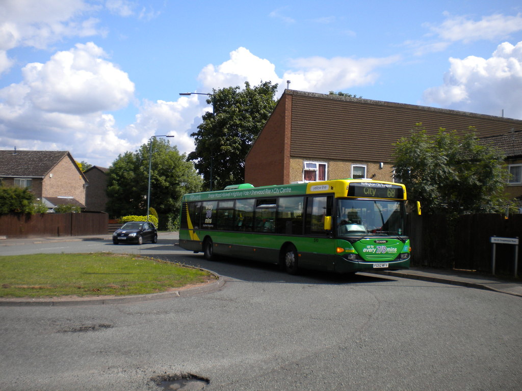
Snape Wood
Snape Wood is a council estate located in Bulwell Ward at the City of Nottingham. The estate is located 4.4 miles (7 km) from the City Centre, and lies...
Nearby Amenities
Located within 500m of 53.011359,-1.2297431Have you been to Bulwell Wood?
Leave your review of Bulwell Wood below (or comments, questions and feedback).