Ashbeer

Settlement in Somerset Somerset West and Taunton

England

Ashbeer

Wedding cake tree This specimen (cornus controversa variegata) is located at Elworthy cottage, in the village of Elworthy in West Somerset. The private garden was opened to the public on 30 May 2023 as part of the National Gardens Scheme which raises money for very worthwhile causes.
Wedding cake tree Credit: Marika Reinholds

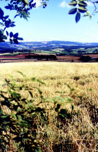
Ashbeer is a small village located in the county of Somerset, England. It is situated approximately 5 miles south of the town of Taunton and lies within the Taunton Deane district. The village is nestled in the beautiful Somerset countryside, surrounded by picturesque landscapes and green fields.

Ashbeer is a quintessential English village, known for its charming thatched cottages and traditional architecture. The village has a close-knit community, with a population of around 500 residents. The residents of Ashbeer take great pride in their village and actively participate in various community events and activities.

The village boasts a range of amenities, including a village hall, a local pub, and a small convenience store. These facilities provide essential services to the residents and contribute to the village's sense of community.

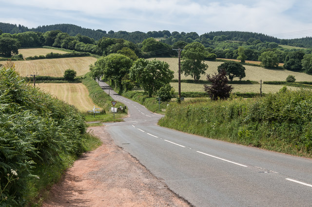
The surrounding area offers numerous opportunities for outdoor activities and recreational pursuits. The nearby Quantock Hills, designated as an Area of Outstanding Natural Beauty, attract visitors who enjoy hiking, mountain biking, and horse riding. The village is also close to the Somerset Levels, a wetland area known for its rich biodiversity and birdwatching opportunities.

Ashbeer's proximity to the town of Taunton provides easy access to additional amenities and services, including shopping centers, schools, and healthcare facilities. The village is well-connected by road, with the A358 passing nearby, allowing for convenient transportation to other parts of Somerset and beyond.

Overall, Ashbeer offers a tranquil and idyllic lifestyle, characterized by its natural beauty, community spirit, and easy access to both rural and urban amenities.

If you have any feedback on the listing, please let us know in the comments section below.
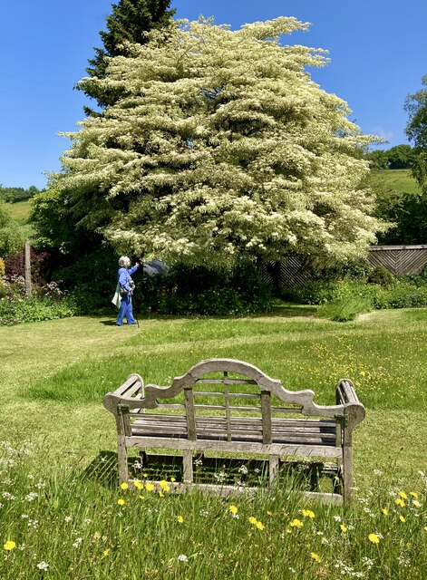
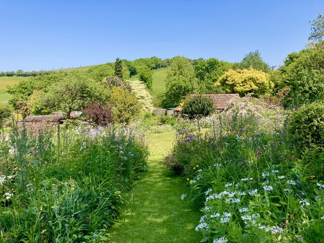
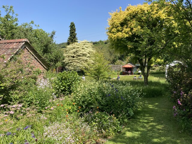
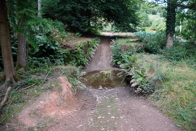
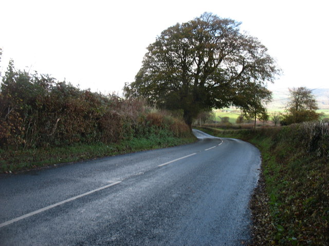
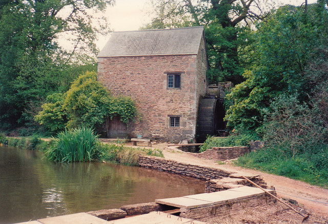
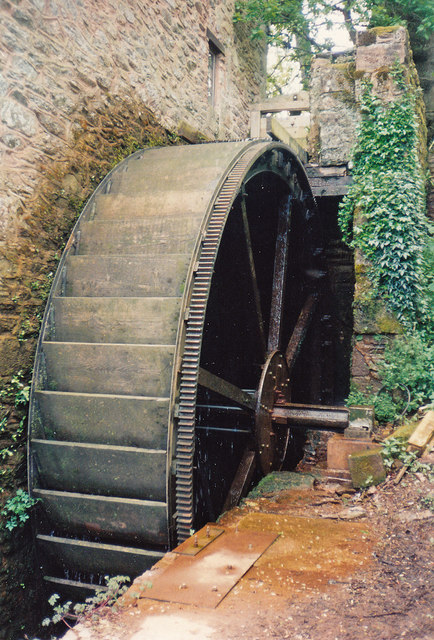
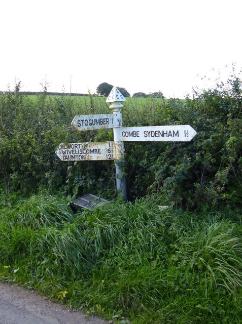
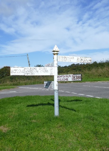
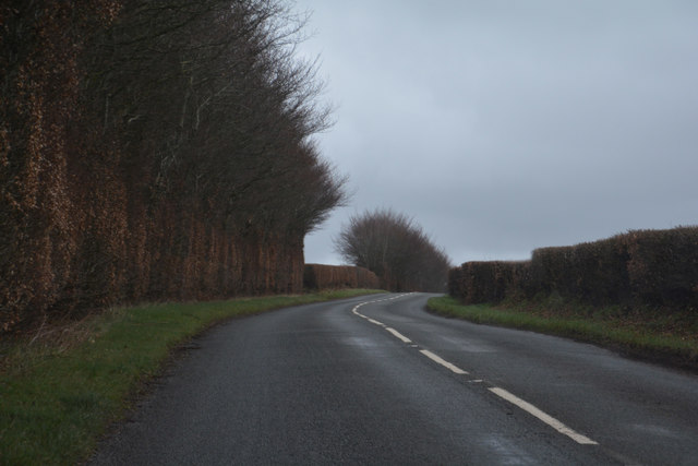
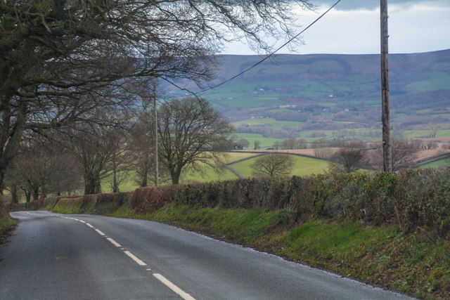
Ashbeer Images

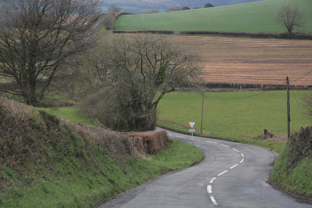
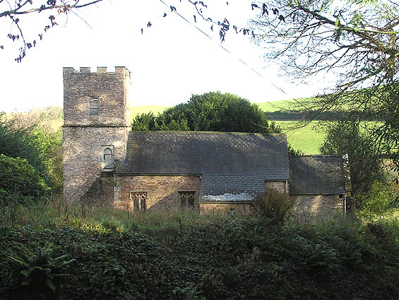
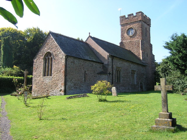
Images are sourced within 2km of 51.106888/-3.3154946 or Grid Reference ST0835. Thanks to Geograph Open Source API. All images are credited.

Wedding cake tree This specimen (cornus controversa variegata) is located at Elworthy cottage, in the village of Elworthy in West Somerset. The private garden was opened to the public on 30 May 2023 as part of the National Gardens Scheme which raises money for very worthwhile causes.
Wedding cake tree
This specimen (cornus controversa variegata) is located at Elworthy cottage, in the village of Elworthy in West Somerset. The private garden was opened to the public on 30 May 2023 as part of the National Gardens Scheme which raises money for very worthwhile causes.
Elworthy cottage gardens (1) The private 1 acre gardens at Elworthy Cottage in the village of Elworthy, West Somerset were opened to the public on 30 May 2023 as part of the National Gardens Scheme which raises money for very worthwhile causes. 

It is planted to encourage birds, bees and butterflies. It is 'cottage garden' in style and has wild flower areas and decorative vegetable gardens.  The owners also raise seedlings and cuttings taken from their plants to sell to visitors.
Elworthy cottage gardens (1)
The private 1 acre gardens at Elworthy Cottage in the village of Elworthy, West Somerset were opened to the public on 30 May 2023 as part of the National Gardens Scheme which raises money for very worthwhile causes. It is planted to encourage birds, bees and butterflies. It is 'cottage garden' in style and has wild flower areas and decorative vegetable gardens. The owners also raise seedlings and cuttings taken from their plants to sell to visitors.
Elworthy cottage gardens (2) The private 1 acre gardens at Elworthy Cottage in the village of Elworthy, West Somerset were opened to the public on 30 May 2023 as part of the National Gardens Scheme which raises money for very worthwhile causes. 

It is planted to encourage birds, bees and butterflies. It is 'cottage garden' in style and has wild flower areas and decorative vegetable gardens.  The owners also raise seedlings and cuttings taken from their plants to sell to visitors.
Elworthy cottage gardens (2)
The private 1 acre gardens at Elworthy Cottage in the village of Elworthy, West Somerset were opened to the public on 30 May 2023 as part of the National Gardens Scheme which raises money for very worthwhile causes. It is planted to encourage birds, bees and butterflies. It is 'cottage garden' in style and has wild flower areas and decorative vegetable gardens. The owners also raise seedlings and cuttings taken from their plants to sell to visitors.
Ordnance Survey Cut Mark This OS cut mark can be found on the SE face of St Martin's Church. It marks a point 198.893m above mean sea level.
Ordnance Survey Cut Mark
This OS cut mark can be found on the SE face of St Martin's Church. It marks a point 198.893m above mean sea level.
Combe Sydenham Ford This ford is found in the Combe Sydenham Country Park. A video of the ford can be seen at:
<span class="nowrap"><a title="https://youtu.be/cX9wiriI6VQ" rel="nofollow ugc noopener" href="https://youtu.be/cX9wiriI6VQ">Link</a><img style="margin-left:2px;" alt="External link" title="External link - shift click to open in new window" src="https://s1.geograph.org.uk/img/external.png" width="10" height="10"/></span>
Combe Sydenham Ford
This ford is found in the Combe Sydenham Country Park. A video of the ford can be seen at: LinkExternal link
The B3224 descending to Elworthy
Combe Sydenham Mill A small grain mill - preserved
Combe Sydenham Mill
A small grain mill - preserved
Combe Sydenham Mill: waterwheel An overshot wheel with wooden buckets and ring gear on the right-hand side. The ring gear is not serving any useful purpose here and indicates that the waterwheel is an import; a replacement for the grain mill's original one
Combe Sydenham Mill: waterwheel
An overshot wheel with wooden buckets and ring gear on the right-hand side. The ring gear is not serving any useful purpose here and indicates that the waterwheel is an import; a replacement for the grain mill's original one
Elworthy Cross Looking along the B3224 to its crossroads with the B3188 at Elworthy Cross.
Elworthy Cross
Looking along the B3224 to its crossroads with the B3188 at Elworthy Cross.
Farmland Above Preston
Old Village Signpost by the B3188, Elworthy Cross, Elworthy Triangular finial - Somerset village sign by the B3188, in parish of Elworthy (West Somerset District), southern approach to Elworthy village, on grassy bank, North of Elworthy Cross.

Grade II Listed. List Entry Number: 1296111
<span class="nowrap"><a title="https://historicengland.org.uk/listing/the-list/list-entry/1296111" rel="nofollow ugc noopener" href="https://historicengland.org.uk/listing/the-list/list-entry/1296111">Link</a><img style="margin-left:2px;" alt="External link" title="External link - shift click to open in new window" src="https://s1.geograph.org.uk/img/external.png" width="10" height="10"/></span>

Surveyed

Milestone Society National ID: SO_ST0834A.
Old Village Signpost by the B3188, Elworthy Cross, Elworthy
Triangular finial - Somerset village sign by the B3188, in parish of Elworthy (West Somerset District), southern approach to Elworthy village, on grassy bank, North of Elworthy Cross. Grade II Listed. List Entry Number: 1296111 LinkExternal link Surveyed Milestone Society National ID: SO_ST0834A.
Old Direction Sign - Signpost by the B3224, Hartrow Gate Cross Pyramid finial - 3 arms; Somerset SCC pyramid by the B3224, in parish of Elworthy (West Somerset District), Hartrow Gate Cross.

To be surveyed

Milestone Society National ID: SO_ST0934.
Old Direction Sign - Signpost by the B3224, Hartrow Gate Cross
Pyramid finial - 3 arms; Somerset SCC pyramid by the B3224, in parish of Elworthy (West Somerset District), Hartrow Gate Cross. To be surveyed Milestone Society National ID: SO_ST0934.
Old Direction Sign - Signpost by Silverdown Hill, Stogumber Parish Pyramid finial - 3 arms; Somerset SCC pyramid by the UC road, in parish of Stogumber (West Somerset District), junction of Silverdown Hill with Ashbeer Hill.

To be surveyed

Milestone Society National ID: SO_ST0836
Old Direction Sign - Signpost by Silverdown Hill, Stogumber Parish
Pyramid finial - 3 arms; Somerset SCC pyramid by the UC road, in parish of Stogumber (West Somerset District), junction of Silverdown Hill with Ashbeer Hill. To be surveyed Milestone Society National ID: SO_ST0836
Old Direction Sign - Signpost by the B3188, Elworthy Cross Pyramid finial - 5 arms; Somerset SCC pyramid by the B3188, in parish of Elworthy (West Somerset District), Elworthy Cross South of Elworthy village.

To be surveyed

Milestone Society National ID: SO_ST0834B
Old Direction Sign - Signpost by the B3188, Elworthy Cross
Pyramid finial - 5 arms; Somerset SCC pyramid by the B3188, in parish of Elworthy (West Somerset District), Elworthy Cross South of Elworthy village. To be surveyed Milestone Society National ID: SO_ST0834B
West Somerset : The B3224 Heading along the B3224.
West Somerset : The B3224
Heading along the B3224.
West Somerset : The B3224 Heading along the B3224.
West Somerset : The B3224
Heading along the B3224.
West Somerset : The B3224 Heading along the B3224.
West Somerset : The B3224
Heading along the B3224.
West Somerset : The B3224 Heading along the B3224.
West Somerset : The B3224
Heading along the B3224.
Show me another place!

Ashbeer is located at Grid Ref: ST0835 (Lat: 51.106888, Lng: -3.3154946)

Administrative County: Somerset

District: Somerset West and Taunton

Police Authority: Avon and Somerset

What 3 Words

///flood.dizzy.president. Near Williton, Somerset
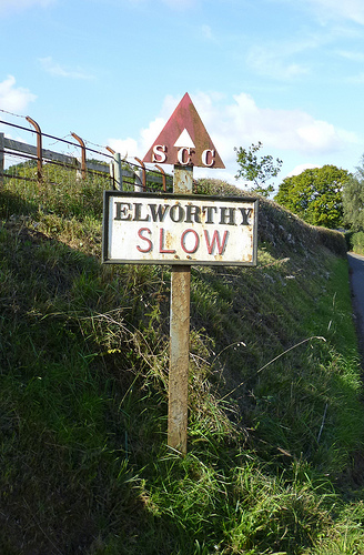
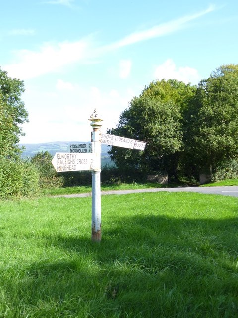
Nearby Locations

Downside Wood Ashbeer

Related Wikis

Nearby Amenities

Located within 500m of 51.106888,-3.3154946
Give Way
Direction: forward
Lat/Long: 51.1062967/-3.3101011
Elworthy
Is In: Somerset, England, UK
Place: village
Wikidata: Q2597388
Wikipedia: en:Elworthy
Lat/Long: 51.1062254/-3.3098616
Post Box
Colour: red
Operator: Royal Mail
Operator Wikidata: Q638098
Post Box Type: wall
Ref: TA4 50
Royal Cypher: VR
Royal Cypher Wikidata: Q33102356
Lat/Long: 51.1057971/-3.3092464
Power: pole
Lat/Long: 51.1087561/-3.3111388
Power: pole
Lat/Long: 51.1071934/-3.3100069
Power: pole
Lat/Long: 51.1078956/-3.3105084
Power: pole
Lat/Long: 51.1063244/-3.3090949
Power: pole
Lat/Long: 51.1067555/-3.3097386
The data included in this document is from www.openstreetmap.org. The data is made available under ODbL.

Have you been to Ashbeer?

Leave your review of Ashbeer below (or comments, questions and feedback).