Bartonroad Clump
Wood, Forest in Hampshire
England
Bartonroad Clump

Bartonroad Clump, located in Hampshire, is a charming woodland area that boasts a diverse and rich ecosystem. Spanning approximately 20 acres, this forested clump is a popular destination for nature enthusiasts and outdoor enthusiasts alike.
The woodland is primarily composed of a mixture of deciduous and coniferous trees, including oak, beech, and pine, creating a visually stunning landscape throughout the year. The canopy formed by these towering trees provides shade and shelter for a myriad of flora and fauna.
Bartonroad Clump is home to a wide variety of wildlife, making it an ideal spot for birdwatching and animal spotting. Visitors may be fortunate enough to catch a glimpse of roe deer, foxes, badgers, and various species of birds such as woodpeckers, owls, and warblers. The tranquility and seclusion of the clump make it an excellent habitat for these creatures.
The forest also features a network of walking trails, allowing visitors to immerse themselves in the natural beauty of the area. These paths wind through the woods, providing picturesque views of the surrounding landscape. During spring, the forest floor is adorned with a vibrant carpet of bluebells, enhancing the enchanting atmosphere of the clump.
Bartonroad Clump is easily accessible, with a car park located nearby, making it a convenient destination for both locals and tourists. Whether you are seeking a peaceful retreat, a place for wildlife observation, or simply an opportunity to reconnect with nature, Bartonroad Clump offers a serene and captivating experience for all who visit.
If you have any feedback on the listing, please let us know in the comments section below.
Bartonroad Clump Images
Images are sourced within 2km of 50.748294/-1.268441 or Grid Reference SZ5194. Thanks to Geograph Open Source API. All images are credited.


Bartonroad Clump is located at Grid Ref: SZ5194 (Lat: 50.748294, Lng: -1.268441)
Unitary Authority: Isle of Wight
Police Authority: Hampshire
What 3 Words
///reclaimed.neck.users. Near East Cowes, Isle of Wight
Nearby Locations
Related Wikis

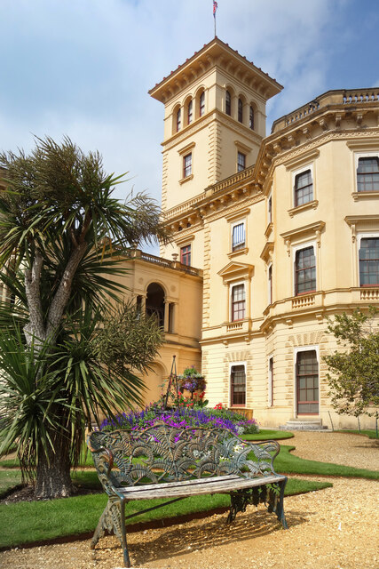
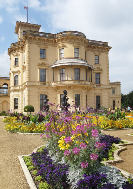
Osborne House
Osborne House is a former royal residence in East Cowes, Isle of Wight, United Kingdom. The house was built between 1845 and 1851 for Queen Victoria and...

Barton Manor
The history of Barton Manor (originally from the Old English, burc-tun; alternates: Burton, Burtone, Berton, Barton) spans over 900 years and was first...

Osborne Stable Block
Osborne Stable Block was built in 1859 on the old cricket ground in the grounds of Osborne House, the former royal residence in East Cowes, Isle of Wight...

Newport (IOW) F.C.
Newport (Isle of Wight) Football Club is a semi-pro football club based in Newport on the Isle of Wight, England. They are currently members of the Wessex...
East Cowes Victoria Athletic A.F.C.
East Cowes Victoria Athletic Association Football Club is a football club based in East Cowes, Isle of Wight, England They are currently members of the...
Priory School, Isle of Wight
Priory School is a co-educational independent school in Whippingham, Isle of Wight. == History == The school was founded by Elizabeth Joan Goldthorpe in...

St Mildred's Church, Whippingham
St Mildred's Church, Whippingham is the Church of England parish church of the village of Whippingham, Isle of Wight. == History == The village of Whippingham...
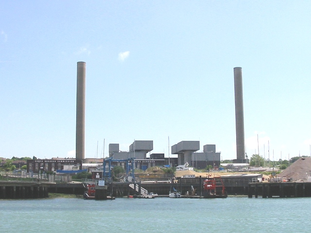
Cowes Power Station
Cowes power station (or Kingston power station) is a 140MW Open Cycle Gas Turbine station powered by two 70MW units. The station is the Isle of Wight's...
Related Videos

Osborne House- Isle Of Wight #Queen Victoria’s Holiday Home
Osborne House is a former royal residence in East Cowes, Isle of Wight, United Kingdom. The house was built between 1845 and ...
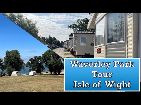
Waverley Park Holiday Centre Isle of Wight Tour
Waverley Park Holiday Centre Isle of Wight Tour We stayed here for 5 Nights in a Victoria Static Caravan (3 Bedroom - 6 Berth) ...

Osborne House: Queen Victoria's Holiday Home on the Isle of Wight
Osborne House in the Isle of Wight was bought by Queen Victoria & Prince Albert in 1845 as a retreat from court life in London ...
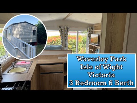
Waverley Park Holiday Centre Isle of Wight
Waverley Park Holiday Centre Isle of Wight Victoria 3 Bedroom 6 Berth No 16 We stayed here for 5 Nights (Waverley Park Tour ...
Nearby Amenities
Located within 500m of 50.748294,-1.268441Have you been to Bartonroad Clump?
Leave your review of Bartonroad Clump below (or comments, questions and feedback).