Drumlithie
Settlement in Kincardineshire
Scotland
Drumlithie

Drumlithie is a small village located in the Kincardineshire region of Scotland. Situated approximately 17 miles south of Aberdeen, it lies within the northeast corner of the country, near the eastern coastline. With a population of around 600 people, the village has a close-knit community feel.
The name Drumlithie originates from the Gaelic words "drum," meaning a rounded hill, and "lithie," meaning damp or wet ground. This description accurately reflects the village's topography, which is characterized by undulating hills and fertile farmland.
The village is known for its picturesque setting, surrounded by rolling countryside and attractive landscapes. It offers stunning views of the nearby Grampian Mountains, providing ample opportunities for outdoor activities such as hiking, cycling, and birdwatching. The area is rich in wildlife, including red squirrels, deer, and a variety of bird species.
Drumlithie has a strong sense of community, with several amenities catering to the needs of its residents. These include a primary school, a village hall, a post office, and a local shop. The village also boasts a historic church, dating back to the 19th century, which remains an important focal point for both religious and community events.
Despite its small size, Drumlithie has a rich history, with evidence of human occupation dating back thousands of years. The village was originally established as an agricultural settlement, with farming being a significant economic activity throughout its history. Today, Drumlithie remains an idyllic rural village, offering a peaceful and picturesque haven for residents and visitors alike.
If you have any feedback on the listing, please let us know in the comments section below.
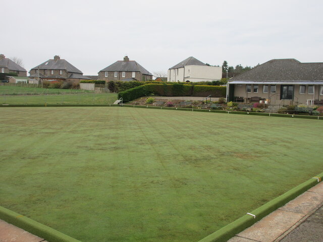
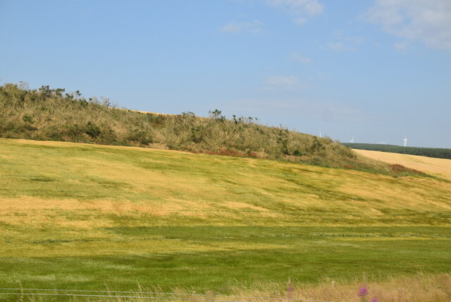
Drumlithie Images
Images are sourced within 2km of 56.918447/-2.353621 or Grid Reference NO7880. Thanks to Geograph Open Source API. All images are credited.


Drumlithie is located at Grid Ref: NO7880 (Lat: 56.918447, Lng: -2.353621)
Unitary Authority: Aberdeenshire
Police Authority: North East
What 3 Words
///tools.hoping.unusable. Near Inverbervie, Aberdeenshire
Nearby Locations
Related Wikis

Drumlithie
Drumlithie is a village in the Howe of the Mearns in southern Aberdeenshire, Scotland. Situated seven miles south of Stonehaven in the parish of Glenbervie...
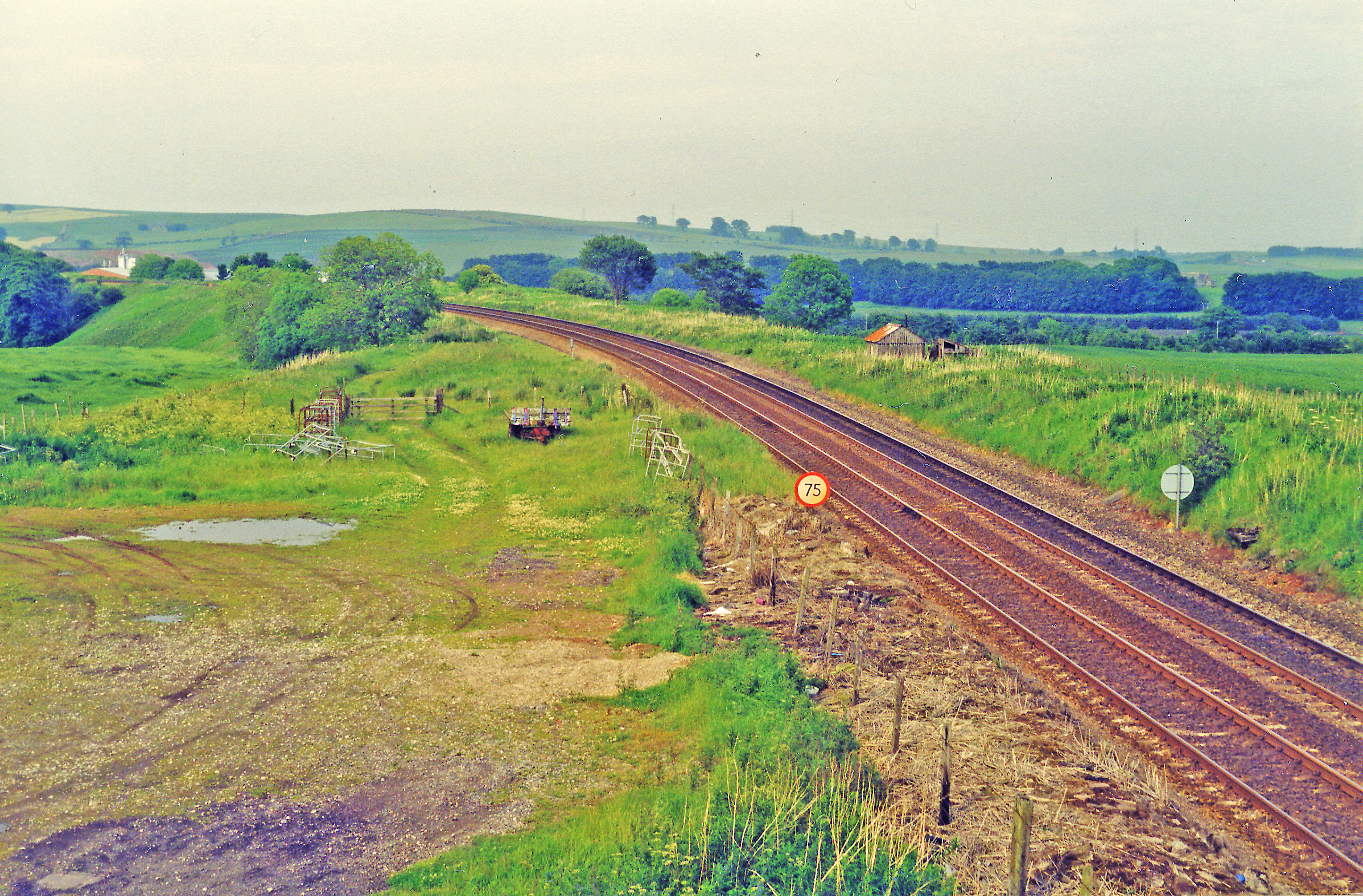
Drumlithie railway station
Drumlithie railway station served the village of Drumlithie, Aberdeenshire, Scotland from 1849 to 1956 on the Aberdeen Railway. == History == The station...

Glenbervie
Glenbervie (Scottish Gaelic: Gleann Biorbhaidh) is located in the north east of Scotland in the Howe o' the Mearns, one mile from the village of Drumlithie...

Glenbervie House
Glenbervie House is a mansion house, which has incorporated parts of an earlier castle, located near Glenbervie, Kincardine and Mearns, Scotland. ��2...

Carmont railway station
Carmont railway station, on the Aberdeen Railway, served the rural area of Carmont in Aberdeenshire, Scotland from 1855 to 1964. == History == The station...

Abbeyton Bridge
Abbeyton Bridge was a road bridge that carried the B966 road over the Dundee–Aberdeen line. == History == In June 2018, Aberdeenshire Council introduced...

Droop Hill
Droop Hill is a mountain landform in the Kincardine and Mearns region of Aberdeenshire, Scotland. The locale had been featured in a windfarm proposal...
Castle of Fiddes
The Castle of Fiddes is a 16th-century tower house in Aberdeenshire, Scotland, located around 6 kilometres (3.7 mi) south-west of Stonehaven. It is dated...
Nearby Amenities
Located within 500m of 56.918447,-2.353621Have you been to Drumlithie?
Leave your review of Drumlithie below (or comments, questions and feedback).