Eelhole Wood
Wood, Forest in Nottinghamshire Broxtowe
England
Eelhole Wood

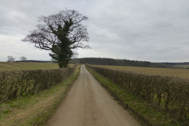
Eelhole Wood is a picturesque woodland located in Nottinghamshire, England. Covering an area of approximately 60 acres, this ancient forest is known for its diverse range of flora and fauna, making it a popular destination for nature enthusiasts and hikers alike.
The wood is predominantly composed of deciduous trees, such as oak, ash, and beech, which provide a rich canopy of greenery during the spring and summer months. In autumn, the forest is ablaze with hues of red, orange, and gold as the leaves change color, creating a stunning spectacle for visitors.
Eelhole Wood is also home to a variety of wildlife. Birdwatchers may spot species such as woodpeckers, thrushes, and finches, while small mammals like badgers, foxes, and rabbits can be seen foraging amongst the undergrowth. The wood's proximity to water sources, such as the nearby River Trent, also attracts water-loving creatures like ducks and herons.
The woodland is crisscrossed by a network of footpaths and trails, allowing visitors to explore its natural beauty at their own pace. These pathways lead through ancient woodland areas, where visitors can admire the towering trees and listen to the soothing sounds of nature.
Eelhole Wood is a cherished local gem, offering a tranquil escape from the hustle and bustle of everyday life. With its stunning landscapes and abundant wildlife, it is a must-visit destination for anyone seeking a peaceful and immersive experience in the heart of Nottinghamshire.
If you have any feedback on the listing, please let us know in the comments section below.
Eelhole Wood Images
Images are sourced within 2km of 53.02515/-1.2341642 or Grid Reference SK5147. Thanks to Geograph Open Source API. All images are credited.


Eelhole Wood is located at Grid Ref: SK5147 (Lat: 53.02515, Lng: -1.2341642)
Administrative County: Nottinghamshire
District: Broxtowe
Police Authority: Nottinghamshire
What 3 Words
///sharp.motel.them. Near Hucknall, Nottinghamshire
Nearby Locations
Related Wikis

Westville, Nottinghamshire
Westville is a residential area to the west of Hucknall. It is approximately eight miles north-west of Nottingham, England. It has many new build houses...
Church of St Peter and St Paul, Hucknall
The Church of St Peter and St Paul, Hucknall is a parish church in the Church of England in the Westville suburb of Hucknall, Nottinghamshire. == History... ==
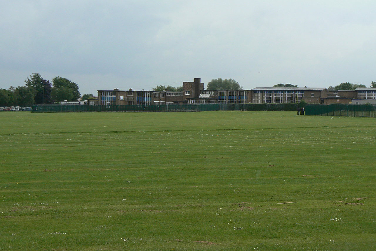
The Holgate Academy
The Holgate Academy (formerly Holgate School) is a coeducational secondary school and sixth form with academy status, located in Hucknall, Nottinghamshire...
Hucknall Town F.C.
Hucknall Town Football Club is a football club based in the town of Hucknall, Nottinghamshire, England. The club is a member of the United Counties League...
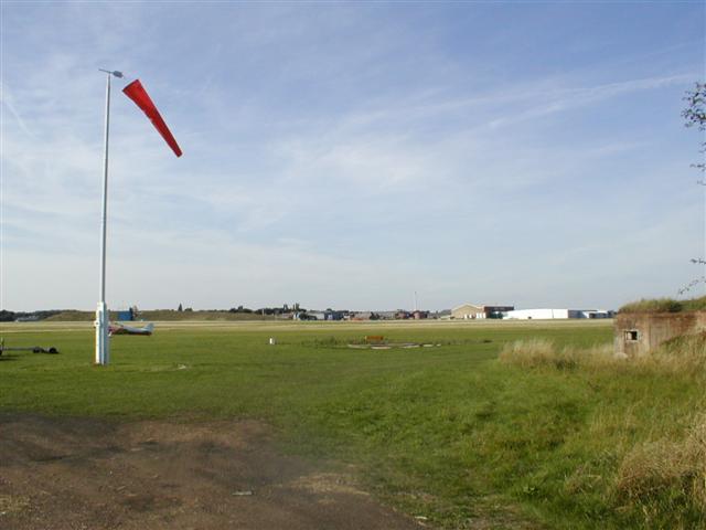
Hucknall Aerodrome
Hucknall Aerodrome (ICAO: EGNA) was a former general aviation and RAF aerodrome located 5 nmi (9.3 km; 5.8 mi) north north-west of Nottingham, Nottinghamshire...
No. 16 (Polish) Flying Training School RAF
No. 16 (Polish) Flying Training School RAF (16 (P) FTS) is a former Royal Air Force flying training school that operated between 1940 and 1946. == History... ==
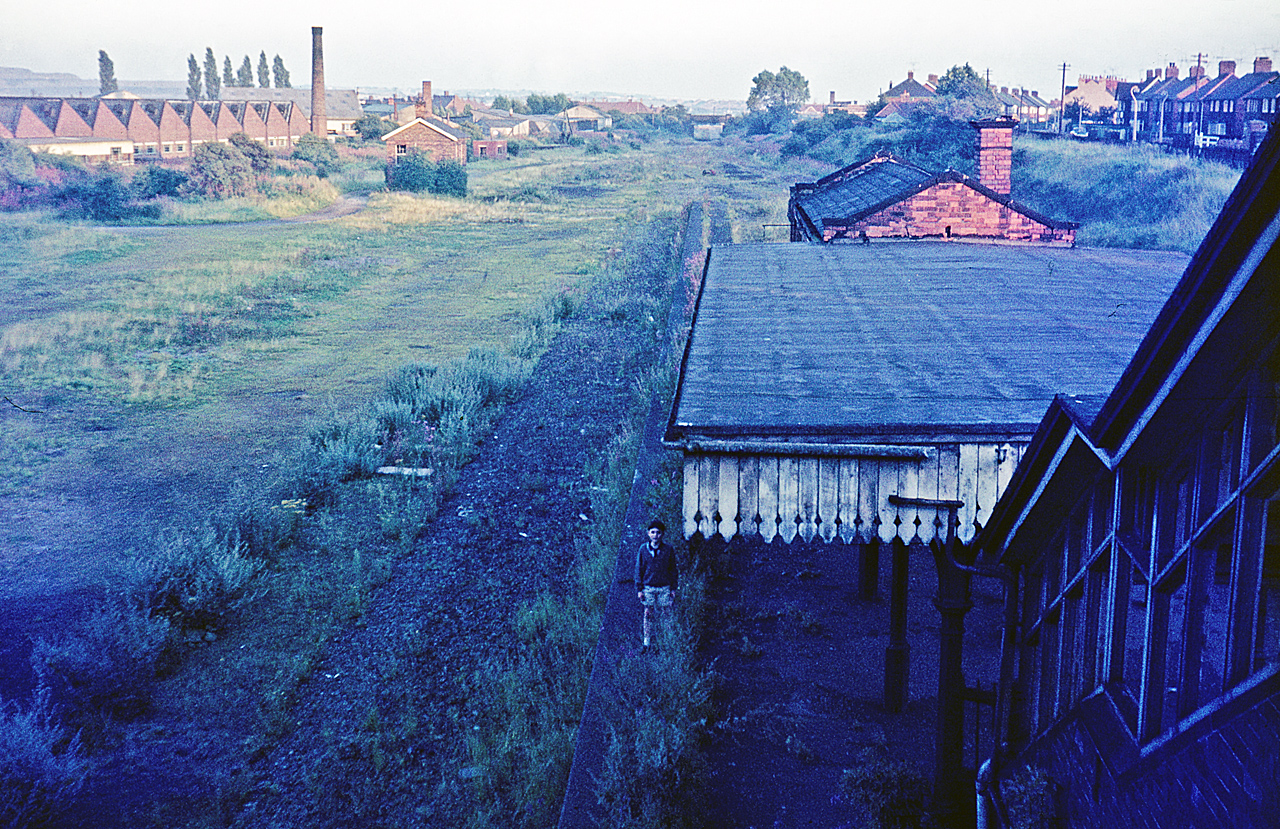
Hucknall Central railway station
Hucknall Central railway station, originally known as Hucknall Town, was a station in Hucknall on the Great Central Railway's main line from Manchester...
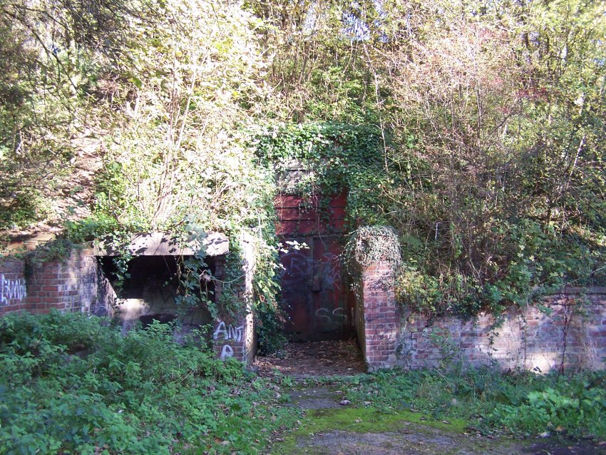
RAF Watnall
RAF Watnall was the operational headquarters of No. 12 Group, RAF Fighter Command at Watnall in Nottinghamshire, England. == History == The station was...
Nearby Amenities
Located within 500m of 53.02515,-1.2341642Have you been to Eelhole Wood?
Leave your review of Eelhole Wood below (or comments, questions and feedback).