Culham Brake

Wood, Forest in Oxfordshire South Oxfordshire

England

Culham Brake

The Charter The Charter in the centre of Abingdon. The building on the right is the multi storey car park
The Charter Credit: Nigel Mykura

Culham Brake is a small woodland located in the county of Oxfordshire, England. Situated in the village of Culham, it covers an area of approximately 10 acres. The woodland is part of the wider Culham Estate and is known for its dense and diverse vegetation.

Culham Brake is predominantly composed of deciduous trees, including oak, beech, and birch. These trees create a lush canopy that provides shade and shelter for various wildlife species. The forest floor is covered in a thick layer of leaf litter, which supports a rich and varied understory of plants such as bluebells, primroses, and ferns.

The woodland is intersected by several footpaths, allowing visitors to explore its natural beauty. These paths wind through the trees, creating a serene and peaceful atmosphere. Culham Brake is a popular destination for nature enthusiasts, walkers, and photographers, who come to enjoy the tranquility and capture the beauty of the woodland.

The area is also home to a variety of wildlife, including deer, foxes, and a wide range of bird species. The dense vegetation and secluded nature of the woodland provide a safe habitat for these animals.

Culham Brake is managed by the Culham Estate, ensuring the preservation of its natural features and biodiversity. The woodland is open to the public year-round, offering a peaceful retreat from the hustle and bustle of everyday life.

If you have any feedback on the listing, please let us know in the comments section below.
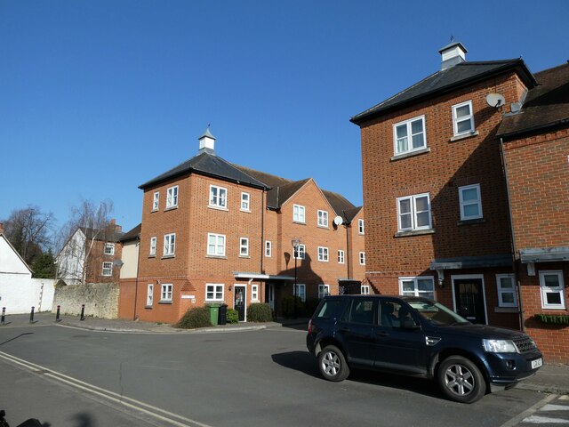
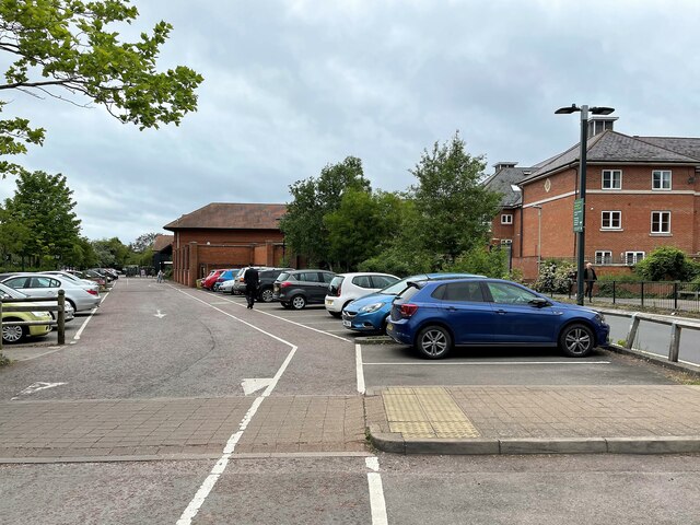
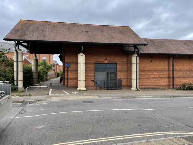
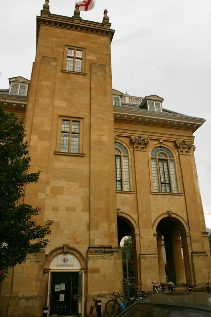
Culham Brake Images

Images are sourced within 2km of 51.663214/-1.2631753 or Grid Reference SU5196. Thanks to Geograph Open Source API. All images are credited.

The Charter The Charter in the centre of Abingdon. The building on the right is the multi storey car park
The Charter
The Charter in the centre of Abingdon. The building on the right is the multi storey car park
End of the platform, Culham Station Looking northwards along the railway towards Oxford. On the right you can see one of the old WW2 aircraft hangars on the old Culham Airfield site. Now a business estate, a fair number of the original wartime buildings are still being used.
End of the platform, Culham Station
Looking northwards along the railway towards Oxford. On the right you can see one of the old WW2 aircraft hangars on the old Culham Airfield site. Now a business estate, a fair number of the original wartime buildings are still being used.
Abingdon Market Place: late March 2022
WH Smith, Bury Street: late March 2022
Shoppers in Bury Street
March 2022: shops in the High Street
Looking westwards along the High Street
Approaching the junction of West St Helens Street and the High Street
Cyclist in West St Helens Street
Looking from West St Helens Street towards Hive Mews
Looking northwards in West St Helens Street
Looking from West St Helens Street into St Edmunds Lane
Apartments in St Edmunds Lane
Abingdon railway station (site), Oxfordshire Opened in 1856 by the Abingdon Railway, later part of the Great Western Railway, this was the terminus of a short branch which left the Paddington-Oxford line south of Radley. The station closed to passengers in 1963 and completely in 1984.
View west towards the buffers. This viewpoint would have been just beyond the end of the single passenger platform, which would have run straight ahead. A goods yard was to the left of the image. The site is mostly a supermarket, but Abbey Close cuts across the site between the platform and the site of the station building. No trace remains.
Abingdon railway station (site), Oxfordshire
Opened in 1856 by the Abingdon Railway, later part of the Great Western Railway, this was the terminus of a short branch which left the Paddington-Oxford line south of Radley. The station closed to passengers in 1963 and completely in 1984. View west towards the buffers. This viewpoint would have been just beyond the end of the single passenger platform, which would have run straight ahead. A goods yard was to the left of the image. The site is mostly a supermarket, but Abbey Close cuts across the site between the platform and the site of the station building. No trace remains.
Abingdon railway station (site), Oxfordshire Opened in 1856 by the Abingdon Railway, later part of the Great Western Railway, this was the terminus of a short branch which left the Paddington-Oxford line south of Radley. The station closed to passengers in 1963 and completely in 1984.
View east from near the buffers along the single passenger platform, which would probably have run straight through the grey doors. The site is now mostly a supermarket, but Abbey Close in the foreground cuts across the site between the platform and the site of the station building (behind the camera position). No trace remains.
Abingdon railway station (site), Oxfordshire
Opened in 1856 by the Abingdon Railway, later part of the Great Western Railway, this was the terminus of a short branch which left the Paddington-Oxford line south of Radley. The station closed to passengers in 1963 and completely in 1984. View east from near the buffers along the single passenger platform, which would probably have run straight through the grey doors. The site is now mostly a supermarket, but Abbey Close in the foreground cuts across the site between the platform and the site of the station building (behind the camera position). No trace remains.
Former County Hall, Abingdon - south elevation This was the former Berkshire County Hall until Reading replaced Abingdon as county town in 1867. Abingdon itself became part of Oxfordshire following boundary changes in 1974 and Berkshire County Council ceased to exist in 1998, although the county continues to have ceremonial status. The building dates from 1678-82 and today houses a museum. Seen here is the tower that carries a staircase up several flights.
Former County Hall, Abingdon - south elevation
This was the former Berkshire County Hall until Reading replaced Abingdon as county town in 1867. Abingdon itself became part of Oxfordshire following boundary changes in 1974 and Berkshire County Council ceased to exist in 1998, although the county continues to have ceremonial status. The building dates from 1678-82 and today houses a museum. Seen here is the tower that carries a staircase up several flights.
12-16 East St Helen Street, Abingdon The street is regarded by Pevsner as "Abingdon's best, and best preserved" and contains buildings from all ages. This Victorian terrace dates from 1866 and is one of the newer examples.
12-16 East St Helen Street, Abingdon
The street is regarded by Pevsner as "Abingdon's best, and best preserved" and contains buildings from all ages. This Victorian terrace dates from 1866 and is one of the newer examples.
19 East St Helen Street, Abingdon The street is regarded by Pevsner as "Abingdon's best, and best preserved" and contains buildings from all ages. 19 is the middle dwelling with first floor windows dating from the late C17.
19 East St Helen Street, Abingdon
The street is regarded by Pevsner as "Abingdon's best, and best preserved" and contains buildings from all ages. 19 is the middle dwelling with first floor windows dating from the late C17.
Show me another place!

Culham Brake is located at Grid Ref: SU5196 (Lat: 51.663214, Lng: -1.2631753)

Administrative County: Oxfordshire

District: South Oxfordshire

Police Authority: Thames Valley

What 3 Words

///cherry.joins.gender. Near Abingdon, Oxfordshire

Nearby Locations

Culham Brake Back Water

Related Wikis

Swift Ditch

The Swift Ditch is a 2 km (1.2 mi) long artificial channel that formed a short-cut for river traffic to and from Oxford, across a meander of the River...

Andersey Island

Andersey Island is a 273-acre (110.5 ha) area of flood-meadow and former flood-meadow south-east of Abingdon Bridge, Abingdon, Oxfordshire on the reach...

European School, Culham

The European School, Culham (ESC) was one of the fourteen European Schools and the only one in the United Kingdom. Located in Culham near Abingdon in Oxfordshire...

Europa School UK

The Europa School UK is an all-through, free school and IB world school located in Culham near Abingdon in Oxfordshire. It was founded in 2012 by stakeholders...

Abingdon Lock

Abingdon Lock is a lock on the River Thames in England, less than 1 mile east and upstream of Abingdon, Oxfordshire, on the opposite bank of the river...

Thames Path

The Thames Path is a National Trail following the River Thames from one of its sources near Kemble in Gloucestershire to the Woolwich foot tunnel, south...

Culham Bridge

Culham Bridge is a medieval bridge crossing a present backwater of the River Thames in England at Culham, Oxfordshire, near the town of Abingdon. The bridge...

Abingdon Abbotts F.C.

Abingdon Abbotts Football Club is a football club based in Abingdon, Oxfordshire, England. == History == The club was established as Abingdon Football...

Nearby Amenities

Located within 500m of 51.663214,-1.2631753
Ele: 40.0202637
Information: board
Tourism: information
Lat/Long: 51.6662511/-1.2589477
Communication Mobile Phone: yes
Man Made: mast
Tower Type: communication
Lat/Long: 51.6608169/-1.263266
The data included in this document is from www.openstreetmap.org. The data is made available under ODbL.

Have you been to Culham Brake?

Leave your review of Culham Brake below (or comments, questions and feedback).