Barker's Plantation
Wood, Forest in Yorkshire Harrogate
England
Barker's Plantation

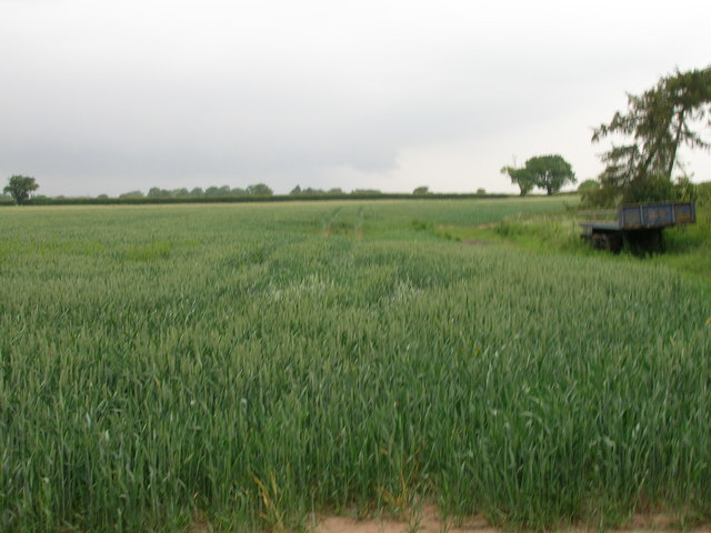
Barker's Plantation is a picturesque woodland located in the county of Yorkshire, England. Situated in the heart of the region, the plantation encompasses an area of dense forest and sprawling woodlands, covering approximately 200 acres.
The woodland is known for its rich biodiversity and natural beauty. It is home to a diverse range of flora and fauna, including ancient oak and beech trees, which tower majestically over the landscape. The forest floor is carpeted with a vibrant array of wildflowers, creating a kaleidoscope of colors during the spring and summer months.
The plantation offers a haven for wildlife, providing habitats for numerous species of birds, mammals, and insects. Birdwatchers can delight in spotting various native and migratory species, including woodpeckers, owls, and buzzards. Squirrels and rabbits can also be seen scurrying through the undergrowth, while deer occasionally graze peacefully in the early morning or at dusk.
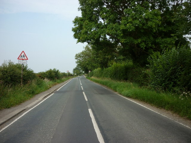
Visitors to Barker's Plantation can explore the woodland through a network of well-maintained trails and paths. These pathways wind through the forest, allowing visitors to immerse themselves in the tranquility of nature. The plantation is a popular destination for hikers, joggers, and dog walkers, who can enjoy the fresh air and peaceful ambiance.
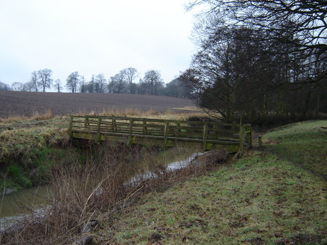
Barker's Plantation is also a site of historical significance. It has been documented that the woodland was once part of an ancient hunting ground used by nobles in medieval times. The remnants of an old hunting lodge can still be found within the plantation, adding an element of intrigue to its charm.
Overall, Barker's Plantation is a captivating destination for nature enthusiasts, offering a blend of natural beauty, wildlife diversity, and historical allure.
If you have any feedback on the listing, please let us know in the comments section below.
Barker's Plantation Images
Images are sourced within 2km of 54.022702/-1.2237627 or Grid Reference SE5058. Thanks to Geograph Open Source API. All images are credited.


Barker's Plantation is located at Grid Ref: SE5058 (Lat: 54.022702, Lng: -1.2237627)
Division: West Riding
Administrative County: North Yorkshire
District: Harrogate
Police Authority: North Yorkshire
What 3 Words
///jaunts.shallower.shatters. Near Linton upon Ouse, North Yorkshire
Nearby Locations
Related Wikis
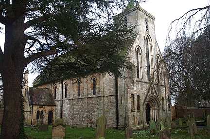
St Mary's Church, Nun Monkton
St Mary's Church is the parish church of Nun Monkton, in North Yorkshire, in England. == History == Nun Monkton Priory was founded in 1172 by Ivetta of...

Nun Monkton
Nun Monkton is a village and civil parish in the Harrogate district of North Yorkshire, England. It is situated 8 miles (13 km) northwest of York at the...

River Nidd
The River Nidd is a tributary of the River Ouse in the English county of North Yorkshire. In its first few miles it is dammed three times to create Angram...

Newton-on-Ouse
Newton-on-Ouse is a village and civil parish in the Hambleton District of North Yorkshire, England, about 7 miles (11 km) north-west of York. It lies on...
River Kyle
The River Kyle is a small river in North Yorkshire, England. At just under 6 miles (9.7 km) long, it is one of the shortest classified main rivers in the...

Moor Monkton
Moor Monkton is a village and civil parish in the former Harrogate District of North Yorkshire, England. It is situated on the River Nidd and 7 miles...

Beningbrough
Beningbrough is a village and civil parish in the Hambleton district of North Yorkshire, England. The population as taken at the 2011 Census was less than...

Linton-on-Ouse
Linton-on-Ouse is a village and civil parish in the Hambleton District of North Yorkshire, England, about eight miles north-west of York. It lies on the...
Nearby Amenities
Located within 500m of 54.022702,-1.2237627Have you been to Barker's Plantation?
Leave your review of Barker's Plantation below (or comments, questions and feedback).