Drum

Settlement in Midlothian

Scotland

Drum

Road, Edmonstone Near the site of Edmonstone House. Construction work has commenced on building houses on the southern part of the estate.
The house was demolished in the 1960s after having become a ruin around the time of World War II. The estate was once going to become a park similar to Cammo and trees were planted. Others had different ideas and eventually the planners allowed it to become housing.
Road, Edmonstone Credit: Richard Webb

Drum is a small village located in Midlothian, Scotland. It is situated approximately 10 miles south of the capital city, Edinburgh. With a population of around 500 residents, Drum offers a peaceful and rural setting for its inhabitants.

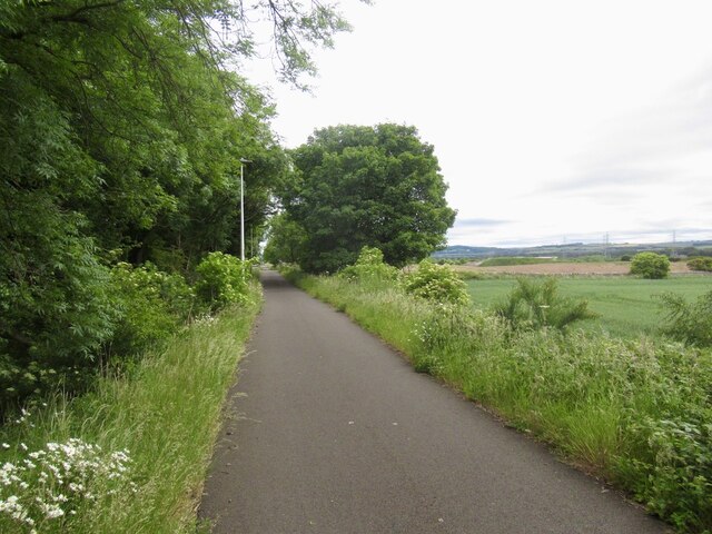
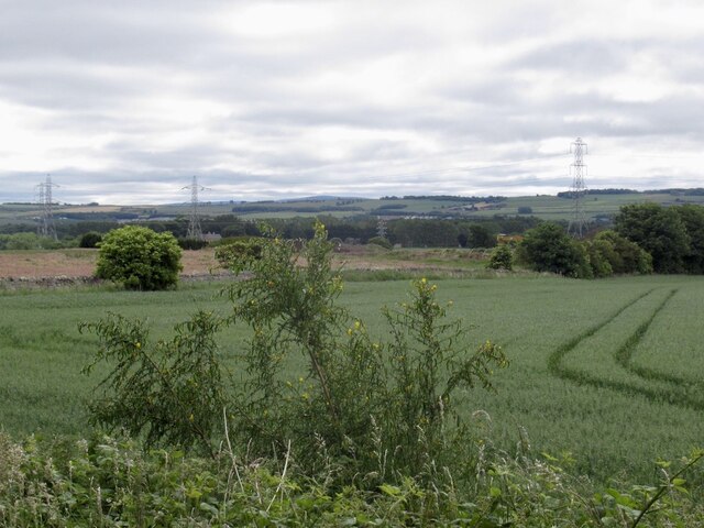
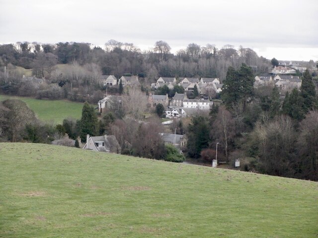
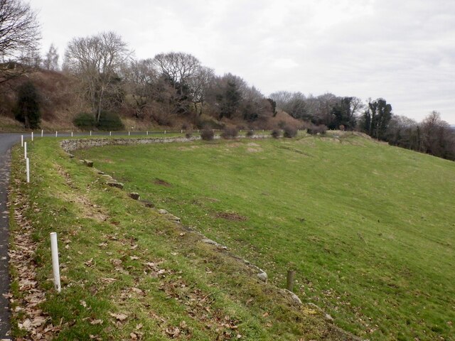
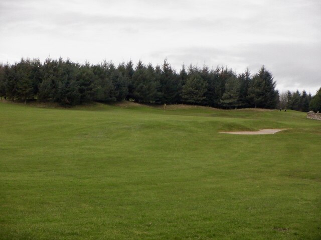
The village is known for its picturesque surroundings, with rolling hills and lush green fields. It is a popular destination for nature lovers and outdoor enthusiasts who enjoy walking, cycling, and exploring the beautiful Scottish countryside. The nearby Pentland Hills Regional Park provides ample opportunities for outdoor activities, including hiking and horse riding.

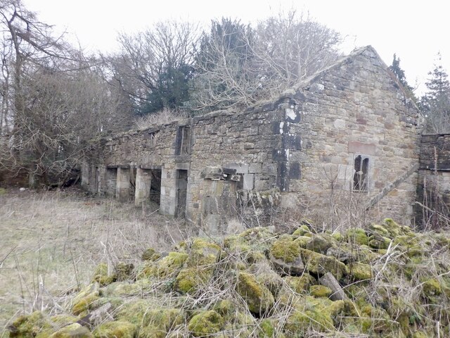
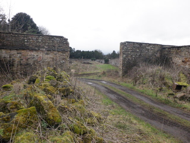
Drum has a rich history, dating back to the medieval period. The village is home to several historic landmarks, including Drum Castle, a 13th-century fortress that has been beautifully preserved. The castle offers visitors a glimpse into the past with its impressive architecture and extensive grounds.

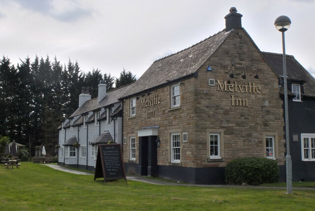
Although small in size, Drum has a strong sense of community. The village has a local pub, The Drum Inn, where residents and visitors can gather for a drink and a meal. The village also hosts various events throughout the year, including a summer fete and a Christmas market, which bring the community together.

Despite its rural setting, Drum benefits from its proximity to Edinburgh. Residents have easy access to the city's amenities, including shopping centers, restaurants, and cultural attractions. The village is well-connected to the capital by a regular bus service, making it convenient for commuting or enjoying a day trip.

Overall, Drum offers a tranquil and charming place to reside, with its natural beauty, historical significance, and community spirit.

If you have any feedback on the listing, please let us know in the comments section below.
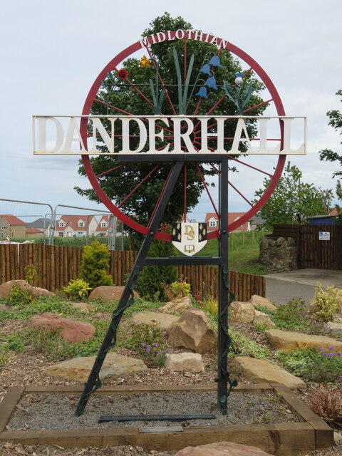
Drum Images

Images are sourced within 2km of 55.900007/-3.1210526 or Grid Reference NT3068. Thanks to Geograph Open Source API. All images are credited.

Road, Edmonstone Near the site of Edmonstone House. Construction work has commenced on building houses on the southern part of the estate.
The house was demolished in the 1960s after having become a ruin around the time of World War II. The estate was once going to become a park similar to Cammo and trees were planted. Others had different ideas and eventually the planners allowed it to become housing.
Road, Edmonstone
Near the site of Edmonstone House. Construction work has commenced on building houses on the southern part of the estate. The house was demolished in the 1960s after having become a ruin around the time of World War II. The estate was once going to become a park similar to Cammo and trees were planted. Others had different ideas and eventually the planners allowed it to become housing.
Site of Edmonstone House Edmonstone was a long established estate with a house here since the 13th century. The last house (18th century) became ruined around the time of the Second World War and was demolished like many old Edinburgh periphery big houses in the 1960s. The estate was once destined to become a park, but developers had other ideas and over a 20 years campaign got permission to build houses here. Some went into the walled garden and surrounds a few years ago and construction has commenced between here, the Wisp and Old Dalkeith Road.
Alternative names include Edmonstoun, Edmonstown, Edmonston
Site of Edmonstone House
Edmonstone was a long established estate with a house here since the 13th century. The last house (18th century) became ruined around the time of the Second World War and was demolished like many old Edinburgh periphery big houses in the 1960s. The estate was once destined to become a park, but developers had other ideas and over a 20 years campaign got permission to build houses here. Some went into the walled garden and surrounds a few years ago and construction has commenced between here, the Wisp and Old Dalkeith Road. Alternative names include Edmonstoun, Edmonstown, Edmonston
Shed display area, Dobbies Garden Centre Lasswade A range of outbuildings from small sheds and greenhouses to opulent summerhouses and home offices.
Shed display area, Dobbies Garden Centre Lasswade
A range of outbuildings from small sheds and greenhouses to opulent summerhouses and home offices.
The Melville Inn near Lasswade Next to Dobbies Garden Centre and close to the A7.
The Melville Inn near Lasswade
Next to Dobbies Garden Centre and close to the A7.
Danderhall Village sign At the western edge of the village, where Edmonstone Road meets The Wisp, it is one of three village signs organised by the Danderhall and District Gardeners, an active volunteer group in the ex-mining mining area, launched in April 2021 <a href="https://www.geograph.org.uk/photo/7201292">NT3069 : Danderhall Village sign - detail</a>, <span class="nowrap"><a title="https://www.midlothianview.com/news/danderhall-guerrilla-gardeners-launch/#:~:text=Danderhall%20and%20District%20Guerrilla%20Gardeners,agreement%20with%20the%20local%20authority" rel="nofollow ugc noopener" href="https://www.midlothianview.com/news/danderhall-guerrilla-gardeners-launch/#:~:text=Danderhall%20and%20District%20Guerrilla%20Gardeners,agreement%20with%20the%20local%20authority">Link</a><img style="margin-left:2px;" alt="External link" title="External link - shift click to open in new window" src="https://s1.geograph.org.uk/img/external.png" width="10" height="10"/></span>.
Danderhall Village sign
At the western edge of the village, where Edmonstone Road meets The Wisp, it is one of three village signs organised by the Danderhall and District Gardeners, an active volunteer group in the ex-mining mining area, launched in April 2021 NT3069 : Danderhall Village sign - detail, LinkExternal link.
Danderhall Village sign - detail Information about the local guerilla gardeners' sign for the village <a href="https://www.geograph.org.uk/photo/7201287">NT3069 : Danderhall Village sign</a>.
Danderhall Village sign - detail
Information about the local guerilla gardeners' sign for the village NT3069 : Danderhall Village sign.
Fire damaged house, Danderhall This house, at the corner of The Wisp and Edmonstone Road [3 Toscana Court, according to the map] seems to have suffered from a serious fire, but I have not been able find any details. It appears undamaged on Google Street View imagery of March 2021.
Fire damaged house, Danderhall
This house, at the corner of The Wisp and Edmonstone Road [3 Toscana Court, according to the map] seems to have suffered from a serious fire, but I have not been able find any details. It appears undamaged on Google Street View imagery of March 2021.
Unhelpful yellow notice at Danderhall 'Closing existing right of way for three years' raises questions!
Who put it there? It does not look like an official council notice.
How long has it been there - when was the start date?
Closed until when? it was there in March 2012 - Street View Google.
Which Right-of-Way exactly?
Unhelpful yellow notice at Danderhall
'Closing existing right of way for three years' raises questions! Who put it there? It does not look like an official council notice. How long has it been there - when was the start date? Closed until when? it was there in March 2012 - Street View Google. Which Right-of-Way exactly?
Rails to trails, Drum The mineral line from Bilston Colliery is now a path
Rails to trails, Drum
The mineral line from Bilston Colliery is now a path
Wheat field between Drum and Todhills
Park and ride, Shawfair Gave it a go after a visit to the bank in Dalkeith - takes ages to get into town.
Park and ride, Shawfair
Gave it a go after a visit to the bank in Dalkeith - takes ages to get into town.
View over Lasswade
View over Lasswade
Road to Kings Acre golf courses
Golf course, King's Acre
Ruin near Melville Castle Beside the site of the gardens, now King's Acre golf.
Ruin near Melville Castle
Beside the site of the gardens, now King's Acre golf.
Former Melville Castle garden Walls near the King's Acre Driving Range on the plateau above Melville Castle.
Former Melville Castle garden
Walls near the King's Acre Driving Range on the plateau above Melville Castle.
Woodland above Melville Castle The usual rhododendrons near a large house.
Woodland above Melville Castle
The usual rhododendrons near a large house.
Woodland above Melville Castle
Show me another place!

Drum is located at Grid Ref: NT3068 (Lat: 55.900007, Lng: -3.1210526)

Unitary Authority: City of Edinburgh

Police Authority: Edinburgh

What 3 Words

///curry.necks.retail. Near Danderhall, Midlothian

Nearby Locations

Drum

Related Wikis

Gilmerton railway station

Gilmerton railway station served the suburb of Gilmerton, historically in Edinburghshire and Midlothian, Scotland, from 1874 to 1959 on the Edinburgh,...

The Drum, Edinburgh

The Drum is an 18th-century country house and estate on the outskirts of Edinburgh, Scotland. Located between the Gilmerton and Danderhall areas, The Drum...
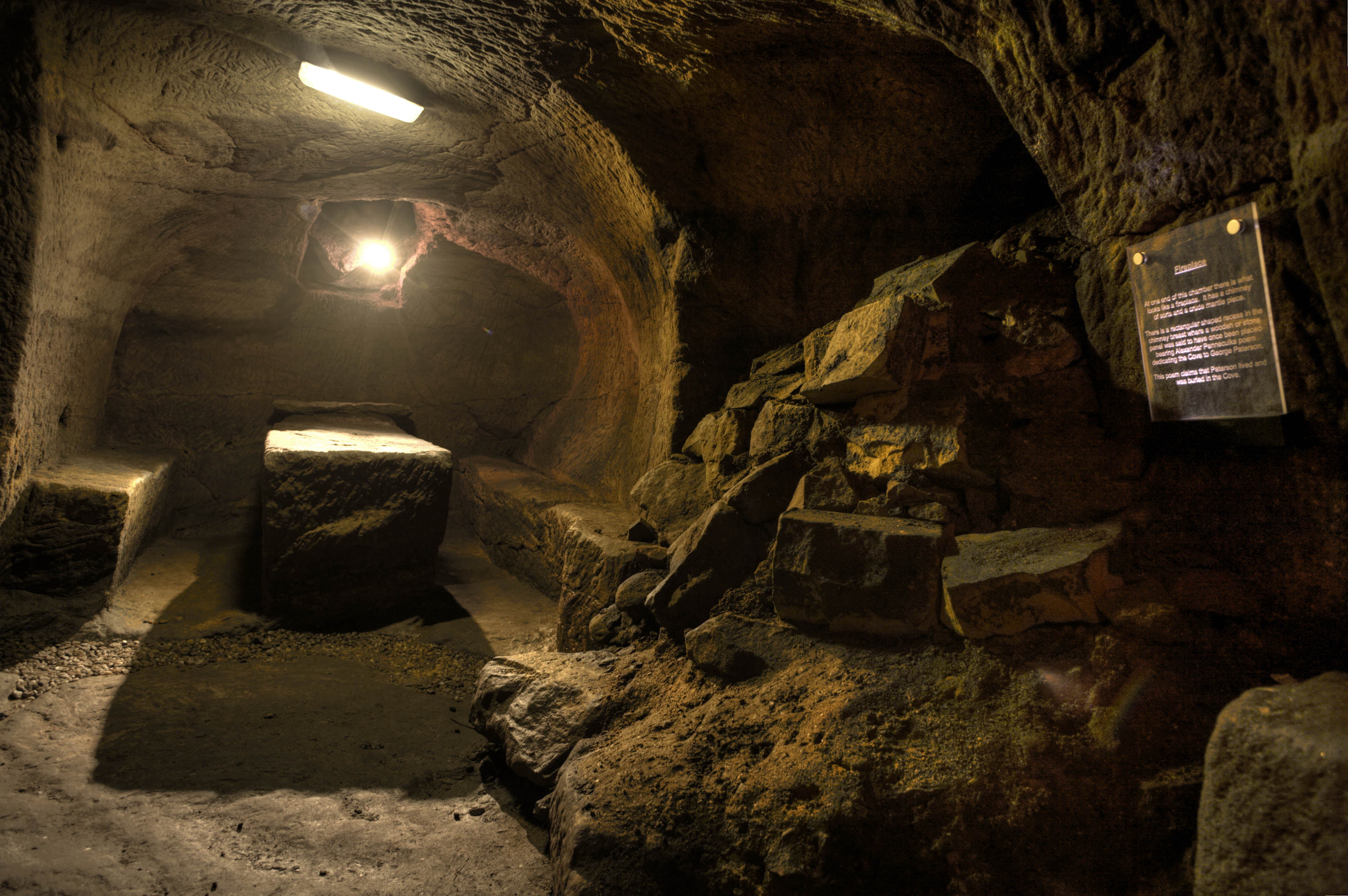
Gilmerton Cove

Gilmerton Cove is a series of underground passageways and chambers hand-carved from sandstone located beneath the streets of Gilmerton, an ex-mining village...

Gilmerton

Gilmerton (Scottish Gaelic: Baile GhilleMhoire, IPA:[ˈpaləˈʝiːʎəˈvɔɾʲə]) is a suburb of Edinburgh, about 4 miles (6.4 km) southeast of the city centre...

Nearby Amenities

Located within 500m of 55.900007,-3.1210526
Motorway Junction
Gilmerton Junction
Source: survey
Lat/Long: 55.8974678/-3.1195533
Design: three-level
Power: tower
Lat/Long: 55.8971807/-3.1243033
Design: three-level
Power: tower
Lat/Long: 55.8971846/-3.122396
Design: three-level
Power: tower
Lat/Long: 55.8984752/-3.1206854
Design: three-level
Power: tower
Lat/Long: 55.9001003/-3.1161017
Design: three-level
Power: tower
Lat/Long: 55.8989498/-3.1174516
Bus: yes
Public Transport: stop_position
Lat/Long: 55.9028291/-3.1240478
Power: tower
Lat/Long: 55.8988945/-3.1153446
Power: tower
Lat/Long: 55.8968622/-3.1196824
Bus Stop
Gilmerton Station Road
Bus: yes
Naptan AdministrativeAreaCode: 124
Naptan Area Name: Edinburgh
Naptan AtcoAreaCode: 620
Naptan AtcoCode: 6200209445
Naptan Bearing: SE
Naptan CommonName: Gilmerton Station Road
Naptan Indicator: opp
Naptan Landmark: Gilmerton Station Road
Naptan LocalityName: Gilmerton
Naptan NaptanCode: 36235232
Naptan NptgLocalityCode: ES001518
Naptan PlusbusZoneRef: EDINBUR
Naptan QualifierName: Edinburgh
Naptan SourceLocalityType: U
Naptan StopAreaCode: 620G209445
Naptan StopAreaType: GPBS
Naptan StopArea Name: GILMERTON Gilmerton Station Road
Naptan Street: Gilmerton Road
Naptan Verified: yes
Note: name corrected, position verified
Public Transport: platform
Shelter: no
Source: NaPTAN + Survey
Lat/Long: 55.9029333/-3.1235042
Bus Stop
Gilmerton Junction
Bus: yes
Naptan AdministrativeAreaCode: 124
Naptan Area Name: Edinburgh
Naptan AtcoAreaCode: 620
Naptan AtcoCode: 6200209447
Naptan Bearing: SE
Naptan CommonName: Gilmerton Junction
Naptan Indicator: before
Naptan Landmark: Melville Grange Cottages
Naptan LocalityName: Gilmerton
Naptan NaptanCode: 36238435
Naptan NptgLocalityCode: ES001518
Naptan PlusbusZoneRef: EDINBUR
Naptan QualifierName: Edinburgh
Naptan SourceLocalityType: U
Naptan StopAreaCode: 620G209447
Naptan StopAreaType: GPBS
Naptan StopArea Name: GILMERTON Gilmerton Junction
Naptan Street: Gilmerton Road
Naptan Verified: yes
Public Transport: platform
Shelter: no
Source: NaPTAN + Survey
Lat/Long: 55.9000163/-3.1132481
Bus Stop
Gilmerton Junction
Bus: yes
Naptan AdministrativeAreaCode: 124
Naptan Area Name: Edinburgh
Naptan AtcoAreaCode: 620
Naptan AtcoCode: 6200239145
Naptan Bearing: NW
Naptan CommonName: Gilmerton Junction
Naptan Indicator: after
Naptan Landmark: 100m North of Melville Grange Cottages
Naptan LocalityName: Gilmerton
Naptan NaptanCode: 36235234
Naptan NptgLocalityCode: ES001518
Naptan PlusbusZoneRef: EDINBUR
Naptan QualifierName: Edinburgh
Naptan SourceLocalityType: U
Naptan StopAreaCode: 620G209447
Naptan StopAreaType: GPBS
Naptan StopArea Name: GILMERTON Gilmerton Junction
Naptan Street: Gilmerton Road
Naptan Verified: yes
Public Transport: platform
Shelter: yes
Source: NaPTAN + Survey
Lat/Long: 55.9001426/-3.1142821
Bus Stop
Gilmerton Station Road
Bin: yes
Bus: yes
Naptan AdministrativeAreaCode: 124
Naptan Area Name: Edinburgh
Naptan AtcoAreaCode: 620
Naptan AtcoCode: 6200239150
Naptan Bearing: NW
Naptan CommonName: Gilmerton Station Road
Naptan Indicator: before
Naptan Landmark: Gilmerton Bus Terminus
Naptan LocalityName: Gilmerton
Naptan NaptanCode: 36238432
Naptan NptgLocalityCode: ES001518
Naptan PlusbusZoneRef: EDINBUR
Naptan QualifierName: Edinburgh
Naptan SourceLocalityType: U
Naptan StopAreaCode: 620G209445
Naptan StopAreaType: GPBS
Naptan StopArea Name: GILMERTON Gilmerton Station Road
Naptan Street: Gilmerton Road
Naptan Verified: yes
Public Transport: platform
Shelter: yes
Source: NaPTAN + Survey
Lat/Long: 55.9028822/-3.1241745
Kerb: lowered
Lat/Long: 55.9002863/-3.114491
Kerb: lowered
Lat/Long: 55.9034227/-3.1250126
Barrier: bollard
Lat/Long: 55.9021966/-3.1256472
Addr City: Edinburgh
Addr Housenumber: 16
Addr Street: Newbyth Road
Lat/Long: 55.9017/-3.1282849
Addr City: Edinburgh
Addr Housenumber: 14
Addr Street: Newbyth Road
Lat/Long: 55.9016627/-3.1281272
Addr City: Edinburgh
Addr Housenumber: 12
Addr Street: Newbyth Road
Lat/Long: 55.9016256/-3.1279623
Addr City: Edinburgh
Addr Housenumber: 10
Addr Street: Newbyth Road
Lat/Long: 55.9015718/-3.1278127
Addr City: Edinburgh
Addr Housenumber: 8
Addr Street: Newbyth Road
Lat/Long: 55.9015237/-3.1276076
Addr City: Edinburgh
Addr Housenumber: 6
Addr Street: Newbyth Road
Lat/Long: 55.9015054/-3.1274476
Addr City: Edinburgh
Addr Housenumber: 4
Addr Street: Newbyth Road
Lat/Long: 55.9014592/-3.1272657
Addr City: Edinburgh
Addr Housenumber: 2
Addr Street: Newbyth Road
Lat/Long: 55.90142/-3.1270878
Waste Basket
Lat/Long: 55.9027375/-3.1239595
Addr City: Edinburgh
Addr Housenumber: 32
Addr Street: Gilmerton Station Road
Lat/Long: 55.901339/-3.1264191
Addr City: Edinburgh
Addr Housenumber: 30
Addr Street: Gilmerton Station Road
Lat/Long: 55.9014084/-3.1263409
Addr City: Edinburgh
Addr Housenumber: 28
Addr Street: Gilmerton Station Road
Lat/Long: 55.9014882/-3.1262838
Addr City: Edinburgh
Addr Housenumber: 26
Addr Street: Gilmerton Station Road
Lat/Long: 55.9016202/-3.1261133
Addr City: Edinburgh
Addr Housenumber: 24
Addr Street: Gilmerton Station Road
Lat/Long: 55.9017098/-3.1260634
Addr City: Edinburgh
Addr Housenumber: 22
Addr Street: Gilmerton Station Road
Lat/Long: 55.9017764/-3.1260171
Addr City: Edinburgh
Addr Housenumber: 20
Addr Street: Gilmerton Station Road
Lat/Long: 55.9018809/-3.1259376
Addr City: Edinburgh
Addr Housenumber: 18
Addr Street: Gilmerton Station Road
Lat/Long: 55.9019511/-3.125896
Addr City: Edinburgh
Addr Housenumber: 16
Addr Street: Gilmerton Station Road
Lat/Long: 55.9020187/-3.1258522
Addr City: Edinburgh
Addr Housenumber: 14
Addr Street: Gilmerton Station Road
Lat/Long: 55.9021025/-3.125794
Addr City: Edinburgh
Addr Housenumber: 24
Addr Street: Lugton Circle
Lat/Long: 55.9021056/-3.1264273
Addr City: Edinburgh
Addr Housenumber: 22
Addr Street: Lugton Circle
Lat/Long: 55.9022213/-3.1265938
Addr City: Edinburgh
Addr Housenumber: 20
Addr Street: Lugton Circle
Lat/Long: 55.9022951/-3.126697
Addr City: Edinburgh
Addr Housenumber: 18
Addr Street: Lugton Circle
Lat/Long: 55.9023797/-3.1268175
Addr City: Edinburgh
Addr Housenumber: 16
Addr Street: Lugton Circle
Lat/Long: 55.9024904/-3.1269288
Addr City: Edinburgh
Addr Housenumber: 15
Addr Street: Lugton Circle
Lat/Long: 55.9020242/-3.1278345
Addr City: Edinburgh
Addr Housenumber: 13
Addr Street: Lugton Circle
Lat/Long: 55.9019283/-3.1278979
Addr City: Edinburgh
Addr Housenumber: 11
Addr Street: Lugton Circle
Lat/Long: 55.9018255/-3.1279639
Addr City: Edinburgh
Addr Housenumber: 9
Addr Street: Lugton Circle
Lat/Long: 55.9018717/-3.127576
Addr City: Edinburgh
Addr Housenumber: 7
Addr Street: Lugton Circle
Lat/Long: 55.9018238/-3.1273806
Addr City: Edinburgh
Addr Housenumber: 5
Addr Street: Lugton Circle
Lat/Long: 55.9017688/-3.1271259
Addr City: Edinburgh
Addr Housenumber: 3
Addr Street: Lugton Circle
Lat/Long: 55.9016659/-3.1267825
Addr City: Edinburgh
Addr Housenumber: 1
Addr Street: Lugton Circle
Lat/Long: 55.901578/-3.1268521
Addr City: Edinburgh
Addr Housenumber: 2
Addr Street: Lugton Circle
Lat/Long: 55.9018086/-3.1266721
Addr City: Edinburgh
Addr Housenumber: 4
Addr Street: Lugton Circle
Lat/Long: 55.9018693/-3.1268193
Addr City: Edinburgh
Addr Housenumber: 6
Addr Street: Lugton Circle
Lat/Long: 55.9019143/-3.1269604
Addr City: Edinburgh
Addr Housenumber: 8
Addr Street: Lugton Circle
Lat/Long: 55.9019808/-3.1273417
Addr City: Edinburgh
Addr Housenumber: 10
Addr Street: Lugton Circle
Lat/Long: 55.9020828/-3.1271952
Addr City: Edinburgh
Addr Housenumber: 12
Addr Street: Lugton Circle
Lat/Long: 55.9021569/-3.127299
Addr City: Edinburgh
Addr Housenumber: 14
Addr Street: Lugton Circle
Lat/Long: 55.9022488/-3.1274342
Addr City: Edinburgh
Addr Housenumber: 25
Addr Street: Carter Drive
Lat/Long: 55.9023872/-3.1277276
Addr City: Edinburgh
Addr Housenumber: 21
Addr Street: Carter Drive
Lat/Long: 55.9025779/-3.127637
Addr City: Edinburgh
Addr Housenumber: 19
Addr Street: Carter Drive
Lat/Long: 55.902604/-3.1275811
Addr City: Edinburgh
Addr Housenumber: 17
Addr Street: Carter Drive
Lat/Long: 55.902634/-3.1275168
Addr City: Edinburgh
Addr Housenumber: 15
Addr Street: Carter Drive
Lat/Long: 55.9026585/-3.1274643
Addr City: Edinburgh
Addr Housenumber: 13
Addr Street: Carter Drive
Lat/Long: 55.9026902/-3.1273743
Addr City: Edinburgh
Addr Housenumber: 9
Addr Street: Carter Drive
Lat/Long: 55.9028012/-3.1271127
Addr City: Edinburgh
Addr Housenumber: 7
Addr Street: Carter Drive
Lat/Long: 55.902838/-3.1270341
Addr City: Edinburgh
Addr Housenumber: 5
Addr Street: Carter Drive
Lat/Long: 55.9028537/-3.1270005
Addr City: Edinburgh
Addr Housenumber: 3
Addr Street: Carter Drive
Lat/Long: 55.9028949/-3.1269122
Addr City: Edinburgh
Addr Housenumber: 1
Addr Street: Carter Drive
Lat/Long: 55.9029227/-3.1268527
Addr City: Edinburgh
Addr Housenumber: 11
Addr Street: Carter Drive
Lat/Long: 55.9027354/-3.1272775
Addr City: Edinburgh
Addr Housenumber: 25
Addr Street: Lugton Circle
Lat/Long: 55.9022029/-3.1260705
Gilmerton
Abandoned Railway: station
Railway: site
Lat/Long: 55.9013562/-3.1245576
Communication Mobile Phone: yes
Man Made: mast
Tower Construction: lattice
Tower Type: communication
Lat/Long: 55.8999148/-3.1135981
Material: wood
Power: pole
Lat/Long: 55.895571/-3.1197792
Material: wood
Power: pole
Lat/Long: 55.8958883/-3.1194064
Material: wood
Power: pole
Lat/Long: 55.8962176/-3.1185401
Material: wood
Power: pole
Lat/Long: 55.89655/-3.117663
Material: wood
Power: pole
Lat/Long: 55.8969184/-3.1167027
Material: wood
Power: pole
Lat/Long: 55.8972433/-3.1154501
Addr City: Edinburgh
Addr Housenumber: 12
Addr Street: Moodie Place
Lat/Long: 55.9005173/-3.1283824
Addr City: Edinburgh
Addr Housenumber: 7
Addr Street: Moodie Place
Lat/Long: 55.900373/-3.1287583
Addr City: Edinburgh
Addr Housenumber: 5
Addr Street: Moodie Place
Lat/Long: 55.9004054/-3.1288964
Addr City: Edinburgh
Addr Housenumber: 3
Addr Street: Moodie Place
Lat/Long: 55.9004357/-3.1290419
Addr City: Edinburgh
Addr Housenumber: 10
Addr Street: Moodie Place
Lat/Long: 55.9005506/-3.1285754
Addr City: Edinburgh
Addr Housenumber: 8
Addr Street: Moodie Place
Lat/Long: 55.900558/-3.1286042
Addr City: Edinburgh
Addr Housenumber: 6
Addr Street: Moodie Place
Lat/Long: 55.900606/-3.1288489
Addr City: Edinburgh
Addr Housenumber: 9
Addr Street: Newbyth Mews
Lat/Long: 55.9010901/-3.1284962
Addr City: Edinburgh
Addr Housenumber: 7
Addr Street: Newbyth Mews
Lat/Long: 55.9010739/-3.1285094
Addr City: Edinburgh
Addr Housenumber: 6
Addr Street: Newbyth Mews
Lat/Long: 55.9010984/-3.1282595
Addr City: Edinburgh
Addr Housenumber: 5
Addr Street: Newbyth Mews
Lat/Long: 55.9009676/-3.1286201
Addr City: Edinburgh
Addr Housenumber: 4
Addr Street: Newbyth Mews
Lat/Long: 55.9010017/-3.128339
Addr City: Edinburgh
Addr Housenumber: 3
Addr Street: Newbyth Mews
Lat/Long: 55.9008787/-3.1286975
Addr City: Edinburgh
Addr Housenumber: 2
Addr Street: Newbyth Mews
Lat/Long: 55.9007719/-3.1284935
Addr City: Edinburgh
Addr Housenumber: 1
Addr Street: Newbyth Mews
Lat/Long: 55.9007969/-3.1287471
Addr City: Edinburgh
Addr Housenumber: 4
Addr Postcode: EH17 8ZN
Addr Street: O'Donnel Road
Lat/Long: 55.9001053/-3.1290451
Addr City: Edinburgh
Addr Housenumber: 2
Addr Postcode: EH17 8ZN
Addr Street: O'Donnel Road
Lat/Long: 55.9000675/-3.1288807
Gilmerton Station Road
Location: outdoor
Power: substation
Substation: minor_distribution
Lat/Long: 55.9012392/-3.1263681
Addr City: Edinburgh
Addr Housenumber: 15
Addr Street: Newbyth Road
Lat/Long: 55.9014867/-3.1285167
Addr City: Edinburgh
Addr Housenumber: 13
Addr Street: Newbyth Road
Lat/Long: 55.9014685/-3.1284406
Addr City: Edinburgh
Addr Housenumber: 11
Addr Street: Newbyth Road
Lat/Long: 55.9014426/-3.1283318
Addr City: Edinburgh
Addr Housenumber: 9
Addr Street: Newbyth Road
Lat/Long: 55.9014232/-3.1282508
Addr City: Edinburgh
Addr Housenumber: 7
Addr Street: Newbyth Road
Lat/Long: 55.901403/-3.1281671
Addr City: Edinburgh
Addr Housenumber: 5
Addr Street: Newbyth Road
Lat/Long: 55.9013852/-3.1280929
Addr City: Edinburgh
Addr Housenumber: 3
Addr Street: Newbyth Road
Lat/Long: 55.9013601/-3.1279874
Addr City: Edinburgh
Addr Housenumber: 1
Addr Street: Newbyth Road
Lat/Long: 55.9013415/-3.1279095
Addr City: Edinburgh
Addr Housenumber: 7
Addr Street: Lugton Terrace
Lat/Long: 55.902558/-3.1263208
Addr City: Edinburgh
Addr Housenumber: 6
Addr Street: Lugton Terrace
Lat/Long: 55.9025712/-3.1263389
Addr City: Edinburgh
Addr Housenumber: 5
Addr Street: Lugton Terrace
Lat/Long: 55.9026134/-3.1263966
Addr City: Edinburgh
Addr Housenumber: 4
Addr Street: Lugton Terrace
Lat/Long: 55.9026495/-3.1264508
Addr City: Edinburgh
Addr Housenumber: 3
Addr Street: Lugton Terrace
Lat/Long: 55.9026779/-3.1264842
Addr City: Edinburgh
Addr Housenumber: 9
Addr Street: Lugton Terrace
Lat/Long: 55.9023426/-3.1262589
Addr City: Edinburgh
Addr Housenumber: 8
Addr Street: Lugton Terrace
Lat/Long: 55.9023865/-3.1261561
Addr City: Edinburgh
Addr Housenumber: 2
Addr Street: Lugton Terrace
Lat/Long: 55.9027202/-3.1265408
Addr City: Edinburgh
Addr Housenumber: 1
Addr Street: Lugton Terrace
Lat/Long: 55.9027519/-3.1265839
Addr City: Edinburgh
Addr Housenumber: 24
Addr Postcode: EH17 8ZN
Addr Street: Lumsden Square
Entrance: staircase
Lat/Long: 55.8991597/-3.1289093
Waste Basket
Lat/Long: 55.9025693/-3.1221936
The data included in this document is from www.openstreetmap.org. The data is made available under ODbL.

Have you been to Drum?

Leave your review of Drum below (or comments, questions and feedback).