Bazeley Copse
Wood, Forest in Hampshire Winchester
England
Bazeley Copse
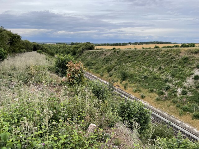
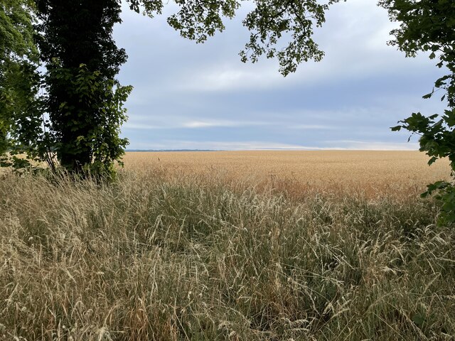
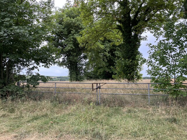
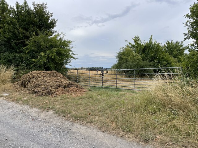
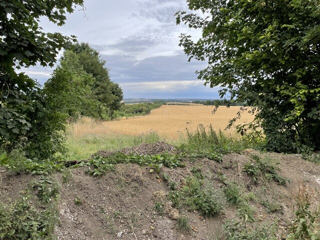
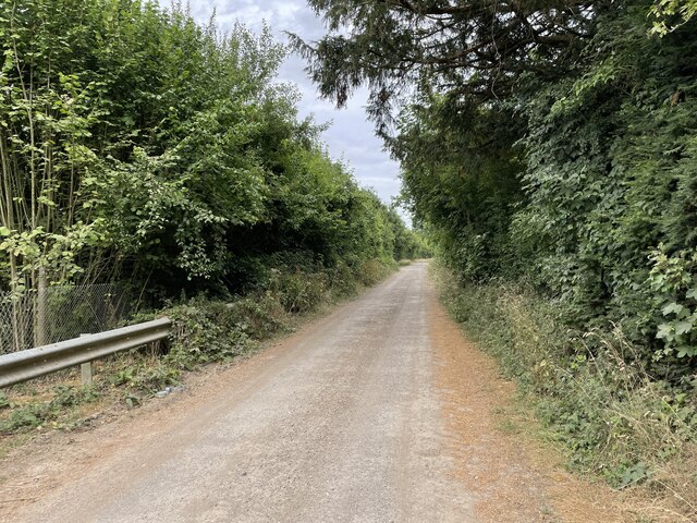
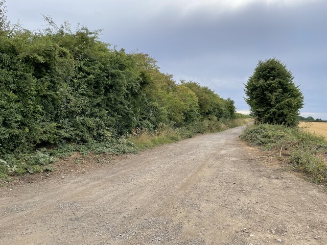
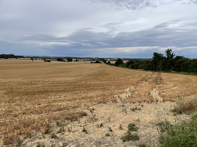
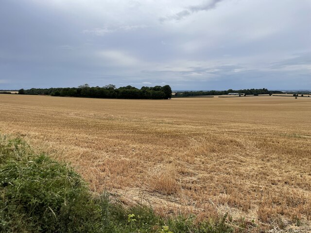
Bazeley Copse is a picturesque woodland located in Hampshire, England. Spanning over a vast area, the copse is known for its diverse flora and fauna, making it a popular destination for nature enthusiasts and hikers alike. The copse is nestled within the rolling countryside of Hampshire, providing visitors with a tranquil and serene atmosphere.
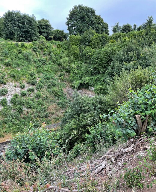
The woodland is primarily composed of broadleaf trees, including oak, beech, and ash, which create a dense canopy that provides shade during the warmer months. The forest floor is carpeted with an array of wildflowers, such as bluebells and primroses, adding a burst of color to the landscape.
Bazeley Copse is home to a wide range of wildlife, including various species of birds, squirrels, and deer. Birdwatchers may spot common species such as robins, blue tits, and blackbirds, as well as rarer species like woodpeckers and owls. The copse also offers a habitat for small mammals, such as foxes and badgers, which can occasionally be observed during dawn or dusk.
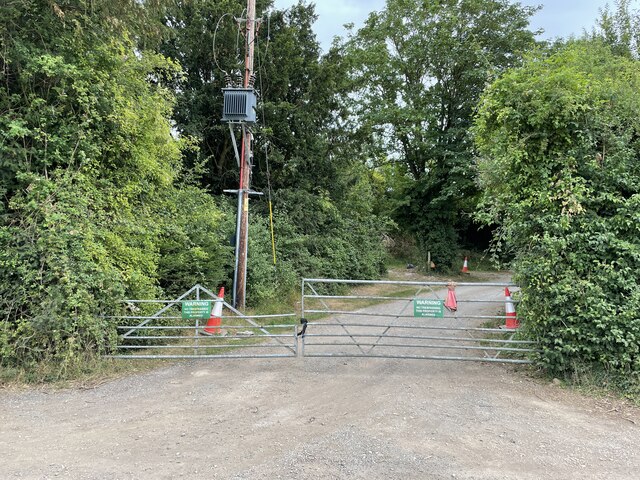
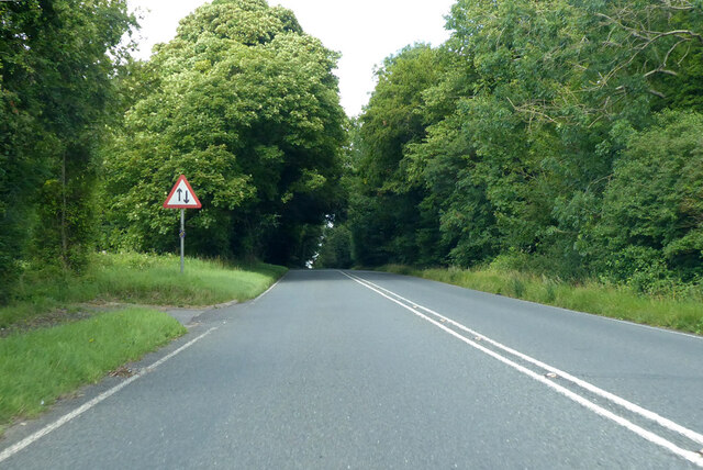
Visitors to Bazeley Copse can enjoy several walking trails that wind through the woodland, allowing them to explore its hidden corners and discover its natural beauty. These paths range in difficulty, catering to both casual strollers and more experienced hikers. The copse is also equipped with amenities such as picnic areas and benches, providing visitors with the opportunity to relax and take in the peaceful surroundings.
Overall, Bazeley Copse in Hampshire offers a delightful escape into nature, where visitors can immerse themselves in the beauty of the woodlands and experience the tranquility of the countryside.
If you have any feedback on the listing, please let us know in the comments section below.
Bazeley Copse Images
Images are sourced within 2km of 51.13292/-1.2769887 or Grid Reference SU5037. Thanks to Geograph Open Source API. All images are credited.


Bazeley Copse is located at Grid Ref: SU5037 (Lat: 51.13292, Lng: -1.2769887)
Administrative County: Hampshire
District: Winchester
Police Authority: Hampshire
What 3 Words
///rebounded.pampering.folders. Near Kings Worthy, Hampshire
Nearby Locations
Related Wikis

St Mary's Church, Micheldever
St Mary's Church is an Anglican church in Micheldever, Hampshire, England. It is in the Diocese of Winchester. The building, which is Grade II* listed...

Micheldever
Micheldever is a village and civil parish in Hampshire, England, situated 6 miles (10 km) north of Winchester. It lies upon the River Dever . The river...
Weston Colley
Weston Colley is a hamlet of about twenty dwellings, adjacent to (and within the parish of) Micheldever, Winchester, Hampshire, England. It is within the...
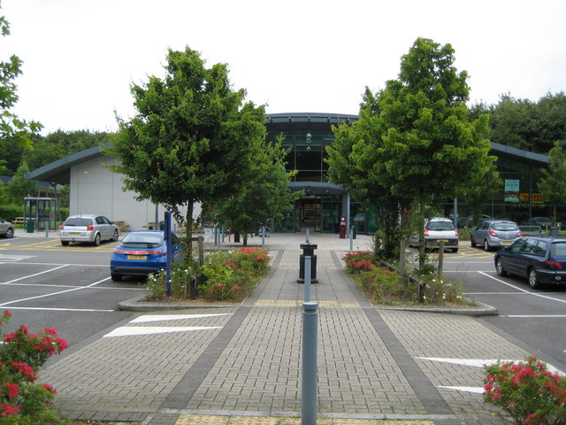
Winchester services
Winchester services are a pair of motorway service stations, between junctions 8 and 9 of the M3 motorway near Winchester, England which are both operated...

Micheldever Wood
Micheldever Wood is a wood near the village of Micheldever, in Hampshire, England, about 5 miles (8 km) north-east of Winchester. It is managed by Forestry...

Hampshire Downs
The Hampshire Downs form a large area of downland in central southern England, mainly in the county of Hampshire but with parts in Berkshire and Wiltshire...

Stoke Charity
Stoke Charity is a small village and former civil parish, now in the parish of Wonston, in the City of Winchester district of Hampshire, England. It is...

Norsebury Ring
Norsebury Ring is the site of an Iron Age univallate hillfort located in Hampshire. Now mostly ploughed out to the South and east, some ditches and ramparts...
Have you been to Bazeley Copse?
Leave your review of Bazeley Copse below (or comments, questions and feedback).