Blake's Oak

Wood, Forest in Berkshire Vale of White Horse

England

Blake's Oak

St Leonard, Sunningwell: tower
St Leonard, Sunningwell: tower Credit: Basher Eyre

Blake's Oak is a majestic oak tree located in the county of Berkshire, England. Situated within a dense forest, this ancient tree stands as a testament to the region's rich natural heritage. Estimated to be over 500 years old, Blake's Oak is named after the renowned poet William Blake, who is believed to have found inspiration beneath its sprawling branches.

The tree's impressive size and age make it a popular attraction for nature enthusiasts and history buffs alike. Standing at a height of approximately 20 meters, with a trunk circumference of over 8 meters, the oak's sheer presence commands attention. Its canopy extends over a wide area, providing shade and shelter to the flora and fauna in the forest.

Blake's Oak is not only significant for its age and size but also for its cultural and historical importance. It is said to have been a favorite spot of William Blake, who would often seek solace and inspiration in its tranquil surroundings. Visitors can imagine the poet's creative musings as they explore the area around the tree, taking in the peaceful ambiance and natural beauty that captivated Blake.

To preserve and protect this remarkable tree, it has been designated as a protected area within the forest, ensuring its continued existence for future generations to enjoy. Blake's Oak serves as a reminder of the enduring power of nature and the profound impact it can have on human creativity and imagination.

If you have any feedback on the listing, please let us know in the comments section below.
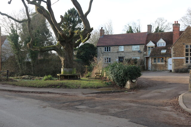
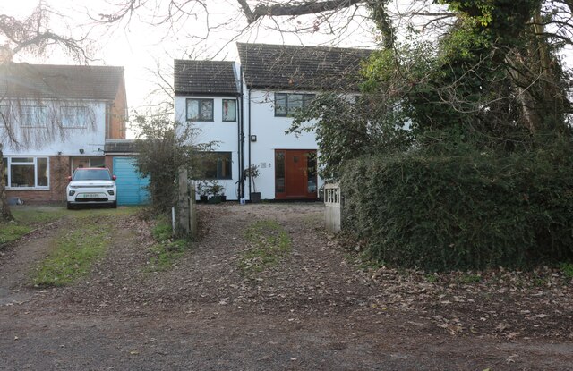
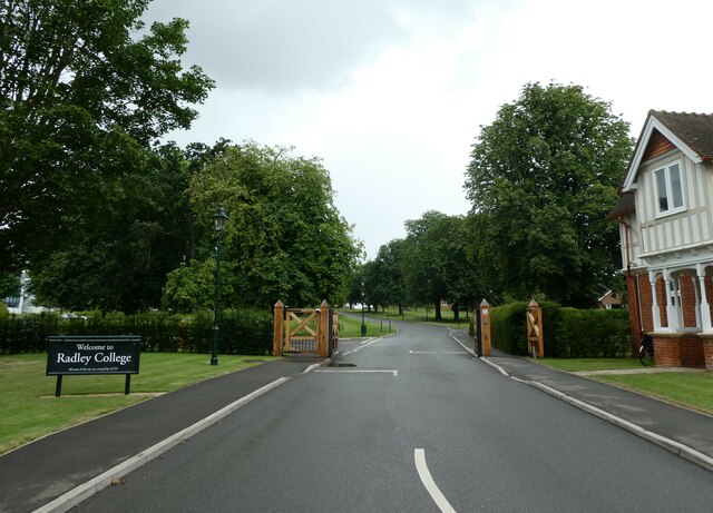
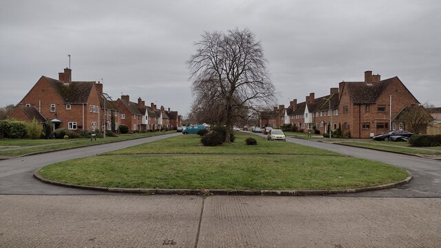
Blake's Oak Images

Images are sourced within 2km of 51.692767/-1.2702043 or Grid Reference SU5099. Thanks to Geograph Open Source API. All images are credited.

St Leonard, Sunningwell: tower
Remove the phonebox- have a heart This one opposite the hall at Sunningwell is now home to a defibrillator.
Remove the phonebox- have a heart
This one opposite the hall at Sunningwell is now home to a defibrillator.
Looking south-west along a wet and windy Sunningwell Road
House on Sunningwell Road
New track in Sunningwell This has not quite been finished, the gate just went into a field before this year.
New track in Sunningwell
This has not quite been finished, the gate just went into a field before this year.
Sunningwell pond
Sunningwell pond
The centre of Sunningwell Sunningwell School of Art is on the right.
The centre of Sunningwell
Sunningwell School of Art is on the right.
Entrance to houses in Sunningwell
Pen Lane, Sunningwell
Houses on Brumcombe Lane, Bayworth
Radley College: entrance For more about the college see <span class="nowrap"><a title="https://en.wikipedia.org/wiki/Radley_College" rel="nofollow ugc noopener" href="https://en.wikipedia.org/wiki/Radley_College">Link</a><img style="margin-left:2px;" alt="External link" title="External link - shift click to open in new window" src="https://s1.geograph.org.uk/img/external.png" width="10" height="10"/></span>
Radley College: entrance
For more about the college see LinkExternal link
Green Space Saint Mary's Green to the left and Saint Nicholas' Green to the right
Green Space
Saint Mary's Green to the left and Saint Nicholas' Green to the right
Basketball Play Area Basketball play area by Appledore Drive
Basketball Play Area
Basketball play area by Appledore Drive
Path to Barrow Hills Path to Barrow Hills by Saint Peter's Road
Path to Barrow Hills
Path to Barrow Hills by Saint Peter's Road
Long Tow Long tow heading to Shippon
Long Tow
Long tow heading to Shippon
Wootton Road Wootton Road B4017 passing the turn to Sunningwell entering Whitecross
Wootton Road
Wootton Road B4017 passing the turn to Sunningwell entering Whitecross
St James the Great Church in Radley.
St James the Great
Church in Radley.
Long Furlong Road, Whitecross This is just outside the edge of Abingdon.
Long Furlong Road, Whitecross
This is just outside the edge of Abingdon.
Show me another place!

Blake's Oak is located at Grid Ref: SU5099 (Lat: 51.692767, Lng: -1.2702043)

Administrative County: Oxfordshire

District: Vale of White Horse

Police Authority: Thames Valley

What 3 Words

///sentences.fluid.milky. Near Radley, Oxfordshire

Related Wikis

Bayworth

Bayworth is a hamlet in the civil parish of Sunningwell about 3 miles (5 km) south of Oxford. Bayworth was part of Berkshire until the 1974 boundary changes...

Tilsley Park

Tilsley Park is an athletics stadium in Abingdon-on-Thames, Oxfordshire, which is home to Oxford Saints American Football Club. It is managed by Abingdon...

Sunningwell

Sunningwell is a village and civil parish about 3+1⁄2 miles (6 km) south of Oxford, England. The parish includes the village of Bayworth and the eastern...
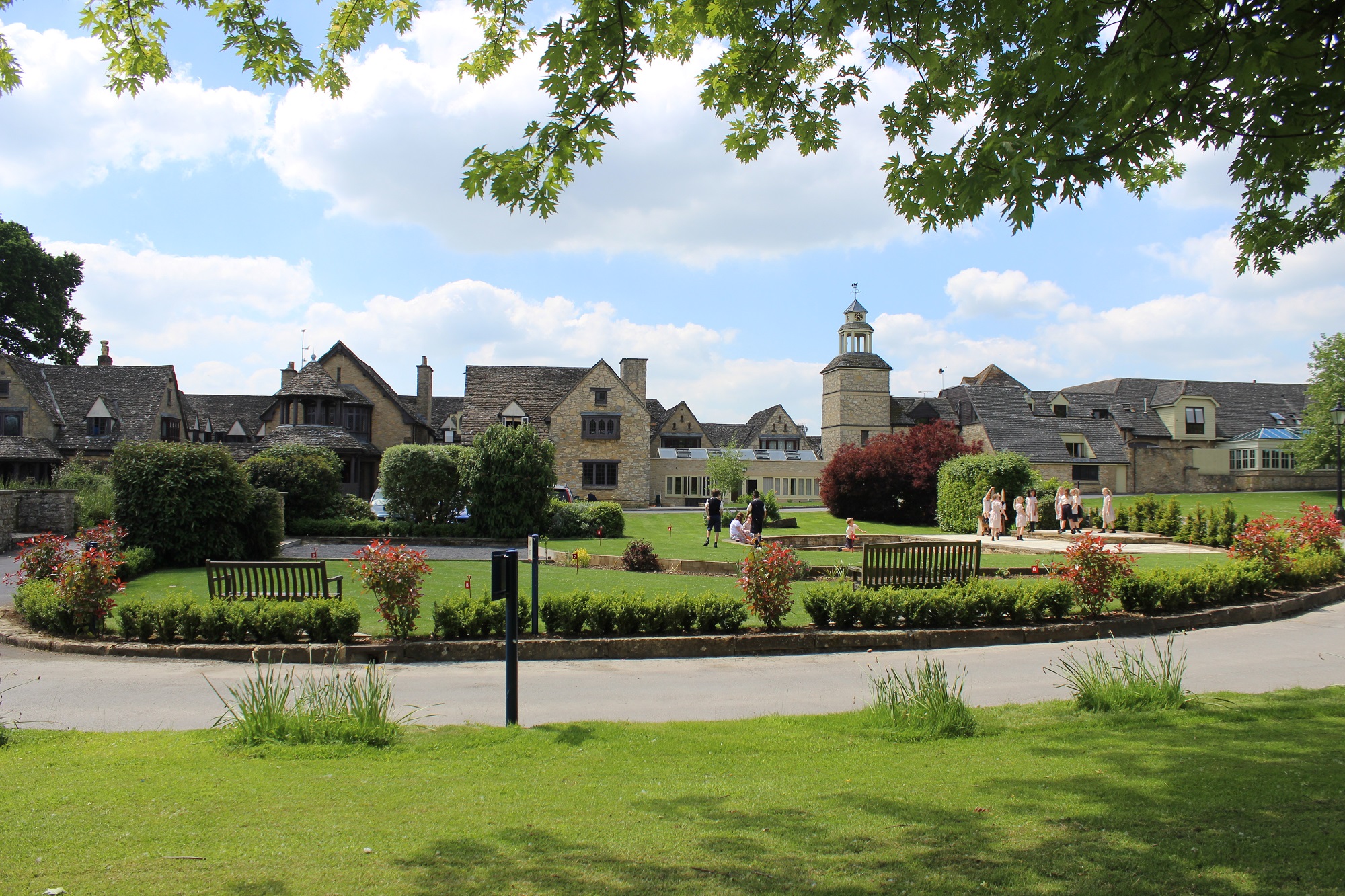
Radley College

Radley College, formally St Peter's College, Radley or even the College of St. Peter at Radley, is a public school (independent boarding school for boys...

Sugworth

Sugworth is a 0.6-hectare (1.5-acre) geological Site of Special Scientific Interest north of Abingdon-on-Thames in Oxfordshire. It is a Geological Conservation...

Abingdon United F.C.

Abingdon United Football Club is a football club based in Abingdon-on-Thames, England. The club are currently members of the Hellenic League Division One...

Fitzharrys School

Fitzharrys School is a coeducational secondary school and sixth form located in Abingdon-on-Thames, Oxfordshire, England. There are about 650 students...

Chandlings

Chandlings, or Chandlings Prep School, known until 2007 as Chandlings Manor School, is an independent co-educational preparatory school at Bagley Wood...

Nearby Amenities

Located within 500m of 51.692767,-1.2702043
Crossing
Crossing: unmarked
Tactile Paving: yes
Lat/Long: 51.6900697/-1.2700994
Turning Loop
Lat/Long: 51.6887142/-1.2681807
Crossing
Crossing: unmarked
Crossing Island: no
Kerb: lowered
Lat/Long: 51.6892802/-1.2670726
Turning Circle
Lat/Long: 51.6913916/-1.2761158
Turning Circle
Lat/Long: 51.6909498/-1.2736638
Crossing
Crossing: unmarked
Crossing Island: yes
Lat/Long: 51.690978/-1.2727429
Man Made: tower
Lat/Long: 51.6953325/-1.2675182
Barrier: stile
Lat/Long: 51.6948856/-1.2733118
Direction: N
Lat/Long: 51.6889866/-1.2711395
Bus Stop
Alexander Close
Bus: yes
Naptan AtcoCode: 340000160AL
Naptan Bearing: W
Naptan BusStopType: CUS
Naptan CommonName: Alexander Close
Naptan Indicator: Corner
Naptan Landmark: Alexander Close
Naptan NaptanCode: oxfampma
Naptan Street: Dunmore Road
Naptan Verified: no
Public Transport: platform
Source: naptan_import
Lat/Long: 51.6908887/-1.2724173
Bus Stop
Peachcroft Roundabout
Bench: yes
Bin: yes
Bus: yes
Naptan AtcoCode: 340000248NOR
Naptan Bearing: N
Naptan CommonName: Peachcroft Roundabout
Naptan Indicator: Northbound
Naptan Landmark: Peachcroft Roundabout
Naptan NaptanCode: oxfajpja
Naptan Street: Oxford Road
Naptan Verified: no
Public Transport: platform
Shelter: yes
Source: naptan_import
Lat/Long: 51.6889304/-1.2712624
Bus Stop
Peachcroft Roundabout
Bus: yes
Naptan AtcoCode: 340000248SOU
Naptan Bearing: S
Naptan CommonName: Peachcroft Roundabout
Naptan Indicator: Southbound
Naptan Landmark: Peachcroft Roundabout
Naptan NaptanCode: oxfajpgw
Naptan Street: Oxford Road
Naptan Verified: no
Public Transport: platform
Source: naptan_import
Lat/Long: 51.6893769/-1.2707778
Bus Stop
Lodge Hill
Bus: yes
Naptan AtcoCode: 340001084NOR
Naptan Bearing: N
Naptan CommonName: Lodge Hill
Naptan Indicator: Northbound
Naptan Landmark: Garage
Naptan NaptanCode: oxfagajp
Naptan Street: Oxford Road
Naptan Verified: no
Public Transport: platform
Source: naptan_import
Lat/Long: 51.6951734/-1.2688327
Bus Stop
Lodge Hill
Bench: no
Bin: no
Bus: yes
Lit: no
Naptan AtcoCode: 340001084SOU
Naptan Bearing: S
Naptan CommonName: Lodge Hill
Naptan Indicator: Southbound
Naptan Landmark: Garage
Naptan NaptanCode: oxfagajm
Naptan Street: Oxford Road
Naptan Verified: no
Public Transport: platform
Shelter: no
Source: naptan_import
Tactile Paving: no
Lat/Long: 51.6962924/-1.2680333
Bus Stop
Boulter Drive
Bench: yes
Bin: no
Bus: yes
Lit: no
Naptan AtcoCode: 340003263CNR
Naptan Bearing: W
Naptan BusStopType: CUS
Naptan CommonName: Boulter Drive
Naptan Indicator: Corner
Naptan Landmark: Bus Shelter
Naptan NaptanCode: oxfgadgm
Naptan Street: Dunmore Road
Naptan Verified: no
Public Transport: platform
Shelter: yes
Source: naptan_import
Lat/Long: 51.6917133/-1.2763682
Crossing
Crossing: unmarked
Crossing Island: yes
Tactile Paving: yes
Lat/Long: 51.689784/-1.2707687
Crossing
Crossing: unmarked
Crossing Island: yes
Tactile Paving: yes
Lat/Long: 51.6897563/-1.2706088
Power: pole
Source: Bing
Lat/Long: 51.6963337/-1.2677381
Power: pole
Source: Bing
Lat/Long: 51.6962405/-1.2693183
Power: pole
Source: Bing
Lat/Long: 51.695926/-1.2744903
Power: pole
Source: Bing
Lat/Long: 51.6960358/-1.2726986
Power: pole
Source: DigitalGlobe-Standard
Lat/Long: 51.6951417/-1.2745078
Power: pole
Source: DigitalGlobe-Standard
Lat/Long: 51.6953196/-1.2750281
Crossing
Crossing: unmarked
Lat/Long: 51.689914/-1.2695463
Crossing
Crossing: unmarked
Crossing Island: yes
Tactile Paving: yes
Lat/Long: 51.6916802/-1.2767687
Crossing
Crossing: unmarked
Tactile Paving: yes
Lat/Long: 51.689986/-1.2701362
Crossing
Crossing: unmarked
Crossing Island: no
Tactile Paving: no
Lat/Long: 51.6891632/-1.2709816
Barrier: kerb
Lat/Long: 51.6955948/-1.268375
Crossing
Crossing: unmarked
Lat/Long: 51.6956056/-1.2684364
Crossing
Crossing: unmarked
Lat/Long: 51.6952154/-1.2687567
Bicycle Parking
Bicycle Parking: stands
Capacity: 12
Check Date: 2022-06-09
Covered: no
Source: survey
Lat/Long: 51.6889065/-1.2712653
Man Made: mast
Tower Type: communication
Lat/Long: 51.690364/-1.2701606
Bicycle Parking
Bicycle Parking: stands
Capacity: 4
Check Date: 2023-06-22
Covered: no
Source: survey
Lat/Long: 51.6911767/-1.2731471
Bicycle Parking
Bicycle Parking: stands
Capacity: 4
Check Date: 2023-06-22
Covered: no
Source: survey
Lat/Long: 51.6910272/-1.2724586
The data included in this document is from www.openstreetmap.org. The data is made available under ODbL.

Have you been to Blake's Oak?

Leave your review of Blake's Oak below (or comments, questions and feedback).