Bank Wood
Wood, Forest in Yorkshire Selby
England
Bank Wood
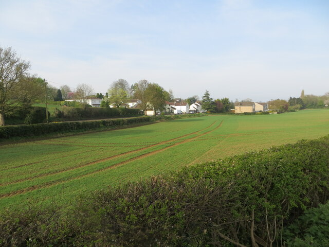
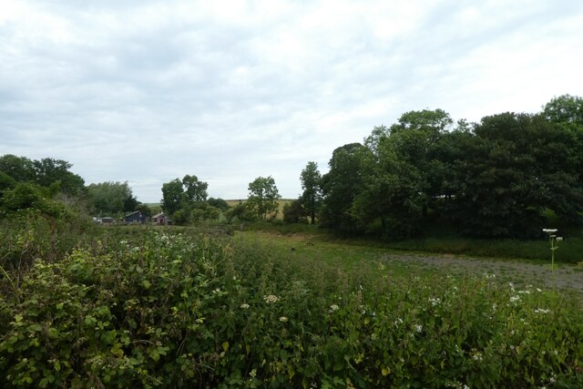
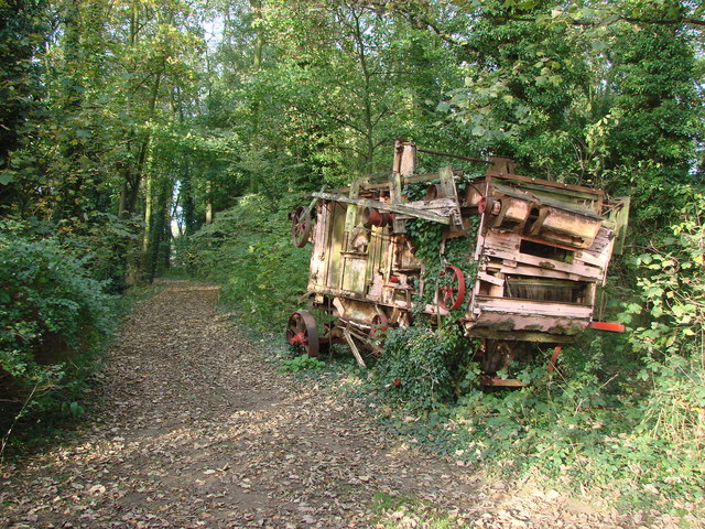
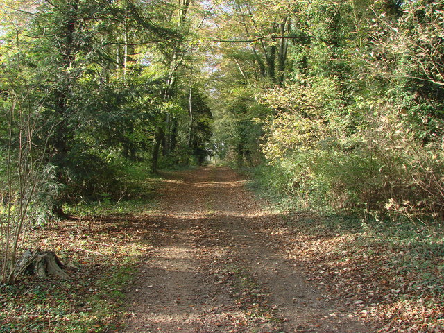
Bank Wood is a picturesque woodland located in Yorkshire, England. Situated in the heart of the county, it is a popular destination for nature enthusiasts, hikers, and those seeking tranquility in a natural setting. The wood is part of a larger forested area, adding to its allure and charm.
Covering an area of approximately 100 hectares, Bank Wood is characterized by a diverse range of tree species, including oak, beech, birch, and conifers. This creates a rich and vibrant ecosystem, supporting a wide variety of wildlife. Visitors to the wood can expect to encounter various bird species, such as woodpeckers and owls, as well as small mammals like squirrels and rabbits.
The wood offers a network of well-maintained trails, allowing visitors to explore its beauty on foot. These paths meander through the forest, taking visitors past ancient trees, moss-covered rocks, and babbling brooks. Additionally, there are designated picnic areas and viewpoints where visitors can take a break and immerse themselves in the tranquil surroundings.
Bank Wood is managed by local authorities who prioritize conservation and environmental sustainability. They actively work to maintain and enhance the natural habitats within the wood, ensuring its long-term preservation for future generations to enjoy.
Whether it's a leisurely stroll, a family picnic, or birdwatching, Bank Wood offers a peaceful escape from the hustle and bustle of everyday life. Its natural beauty, diverse wildlife, and well-maintained trails make it a must-visit destination for nature lovers and outdoor enthusiasts in Yorkshire.
If you have any feedback on the listing, please let us know in the comments section below.
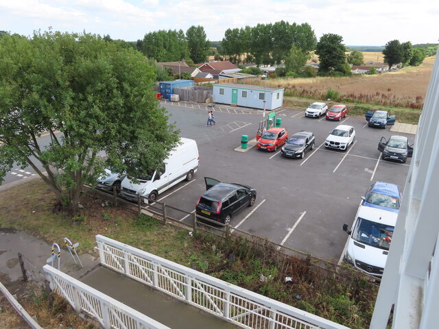
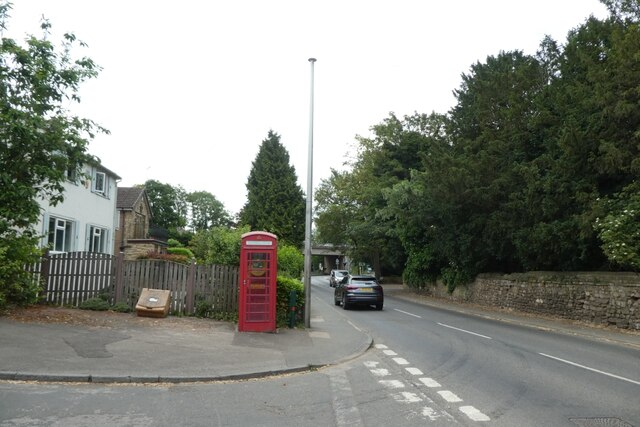
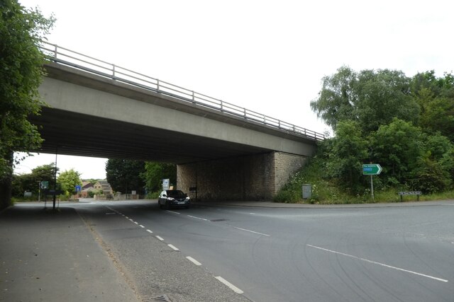
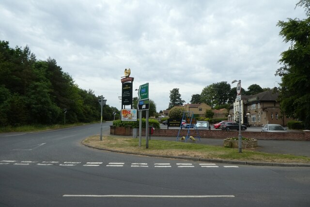
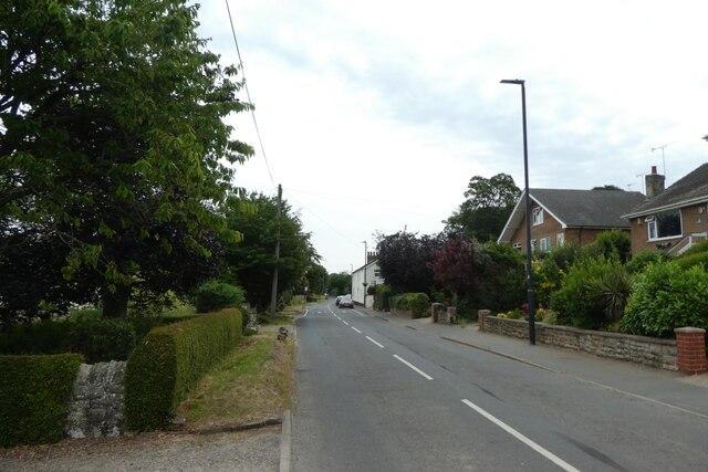
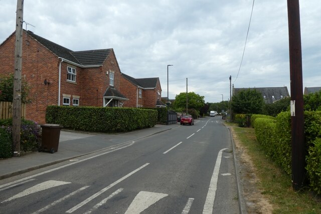
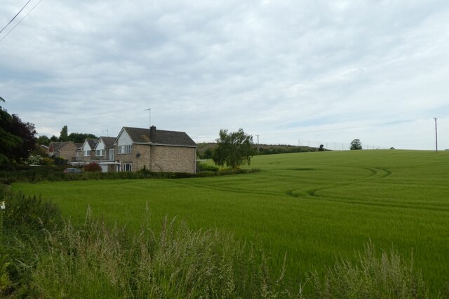
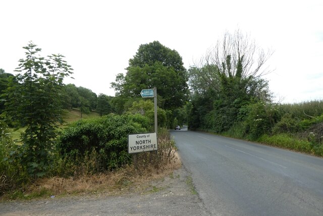
Bank Wood Images
Images are sourced within 2km of 53.67205/-1.2381071 or Grid Reference SE5019. Thanks to Geograph Open Source API. All images are credited.
Bank Wood is located at Grid Ref: SE5019 (Lat: 53.67205, Lng: -1.2381071)
Division: West Riding
Administrative County: North Yorkshire
District: Selby
Police Authority: North Yorkshire
What 3 Words
///serenade.deaf.glitz. Near Darrington, West Yorkshire
Related Wikis
Stapleton, Selby
Stapleton is a village in the Selby district of North Yorkshire, England. The population taken at the 2011 Census was less than 100. Details are included...

Darrington, West Yorkshire
Darrington is a small village and civil parish in the City of Wakefield in West Yorkshire, England, 3 miles (4.8 km) from Pontefract and 25 miles (40 km...

Stapleton Colony
The Stapleton Colony, based in Stapleton, North Yorkshire, is a Christian pacifist and anarchist community, and the only remaining colony of the Brotherhood...

Pontefract North
Pontefract North is an electoral ward of the City of Wakefield district, used for elections to Wakefield Metropolitan District Council. == Overview... ==
Pontefract South
Pontefract South is an electoral ward of the City of Wakefield district, used for elections to Wakefield Metropolitan District Council. == Overview... ==

Cridling Stubbs
Cridling Stubbs is a village and a civil parish in the Selby district, in the English county of North Yorkshire. It is near the town of Knottingley. Its...

Wentbridge Viaduct
Wentbridge Viaduct is a road bridge in West Yorkshire, England. The viaduct carries four lanes of the A1 road over the small valley of the River Went at...

Womersley
Womersley is a village in North Yorkshire, England. The parish population at the 2011 census (including Stapleton and Walden Stubbs) was 515. It is near...
Nearby Amenities
Located within 500m of 53.67205,-1.2381071Have you been to Bank Wood?
Leave your review of Bank Wood below (or comments, questions and feedback).