Ladyflats Plantations
Wood, Forest in Yorkshire Selby
England
Ladyflats Plantations
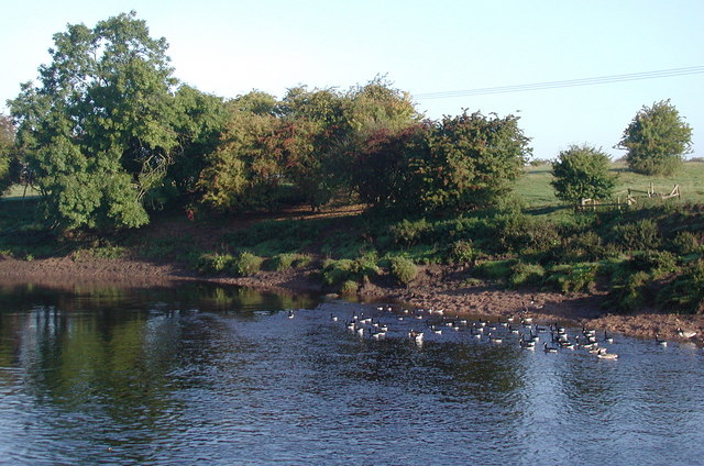
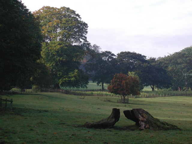
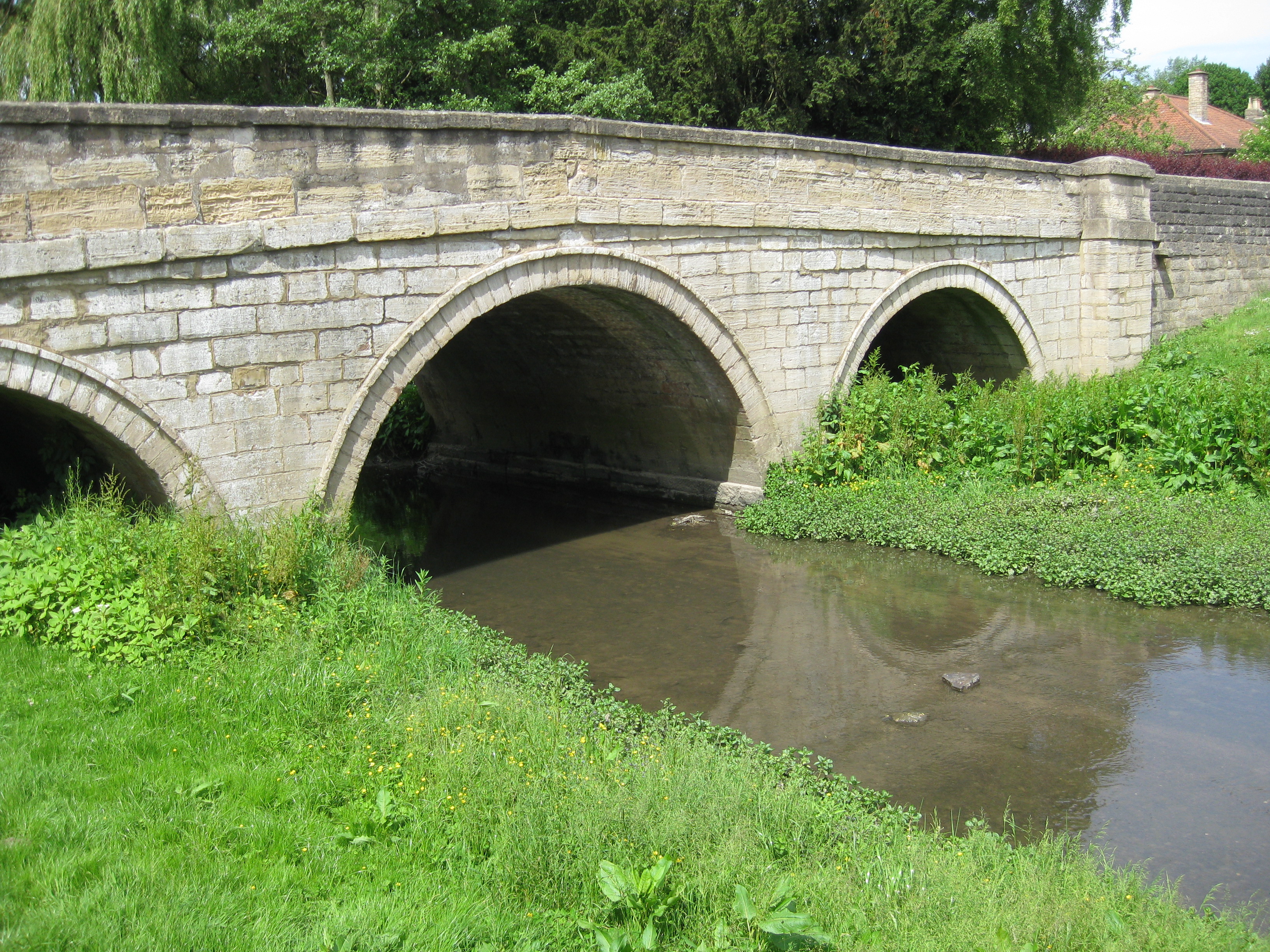
Ladyflats Plantations is a picturesque woodland located in the heart of Yorkshire, England. This enchanting forest covers an expansive area, boasting an impressive variety of trees and flora. The plantation is renowned for its beauty, attracting nature enthusiasts and visitors seeking a serene escape from the hustle and bustle of everyday life.
The woodland is predominantly composed of deciduous trees, including oak, beech, and birch, which create a captivating canopy that changes with the seasons. In spring, the forest bursts into life with vibrant blossoms and fresh foliage, while autumn paints a breathtaking tapestry of golden and fiery hues.
Ladyflats Plantations is a haven for wildlife, providing a rich habitat for numerous species. The forest is home to a diverse range of birds, including woodpeckers, owls, and various songbirds. Visitors may also be lucky enough to spot deer, squirrels, and rabbits amidst the undergrowth.
The plantation offers a network of winding paths and trails, ideal for leisurely strolls or invigorating hikes. These paths cater to all abilities, ensuring accessibility for families, elderly visitors, and avid outdoor enthusiasts alike. Throughout the woodland, there are strategically placed benches and picnic areas where visitors can rest, take in the tranquil surroundings, and enjoy a packed lunch.
Ladyflats Plantations is a true gem of Yorkshire, providing a serene and rejuvenating experience for all who visit. Its natural beauty, abundant wildlife, and accessible trails make it a beloved destination for nature lovers and a delightful escape into the heart of the forest.
If you have any feedback on the listing, please let us know in the comments section below.
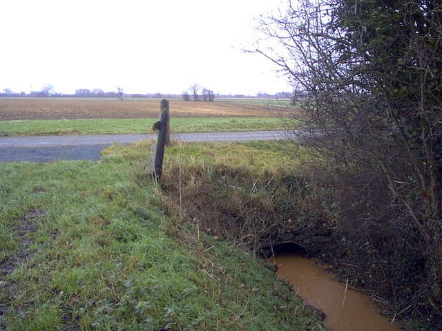
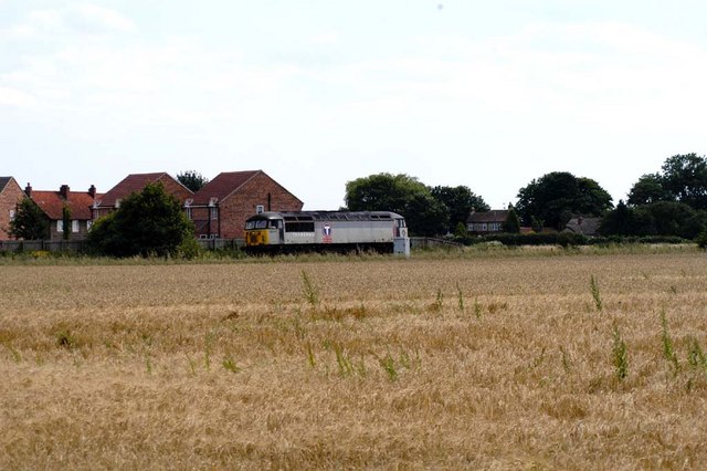
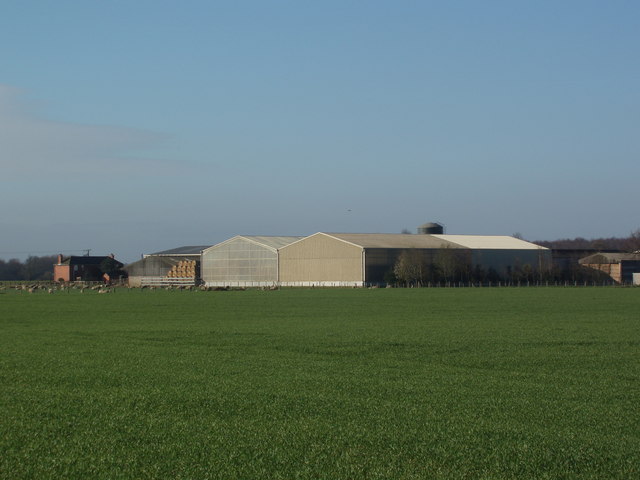
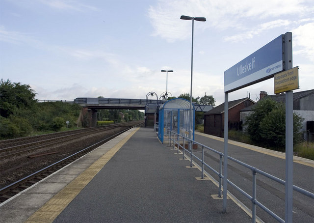
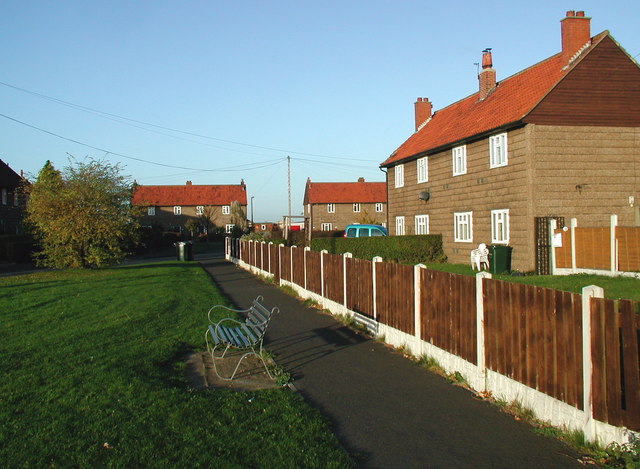
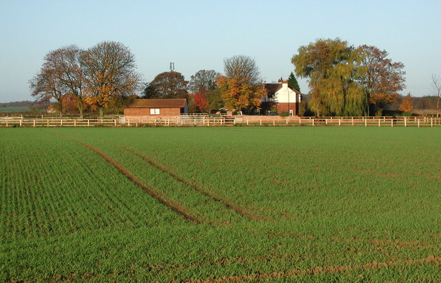
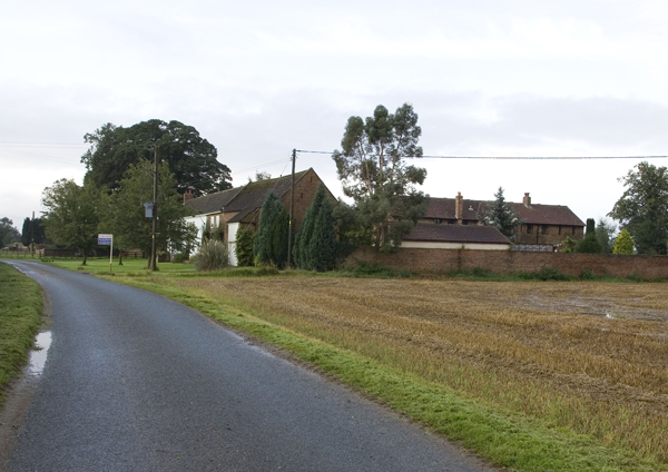
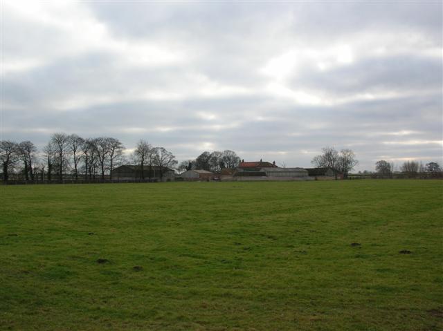
Ladyflats Plantations Images
Images are sourced within 2km of 53.858981/-1.2371188 or Grid Reference SE5040. Thanks to Geograph Open Source API. All images are credited.


Ladyflats Plantations is located at Grid Ref: SE5040 (Lat: 53.858981, Lng: -1.2371188)
Division: West Riding
Administrative County: North Yorkshire
District: Selby
Police Authority: North Yorkshire
What 3 Words
///lined.flip.revamped. Near Tadcaster, North Yorkshire
Related Wikis
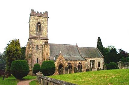
Kirkby Wharfe
Kirkby Wharfe is a village 1.9 miles (3 km) south of Tadcaster, in North Yorkshire, England. The village is in the civil parish of Kirkby Wharfe with North...
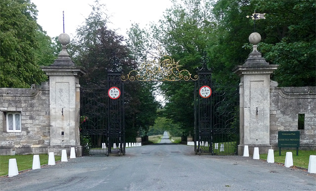
Grimston Park
Grimston Park is a grade II* listed Georgian country house in Grimston, North Yorkshire, England, some 1.7 miles (3 km) south of Tadcaster. Since being...
Grimston, Selby
Grimston is a civil parish about 8 miles from York, in the Selby district, in the county of North Yorkshire, England. In 2001 the parish had a population...

Ulleskelf railway station
Ulleskelf railway station in Ulleskelf, North Yorkshire, England, is 8.75 miles (14 km) south of York. == History == The station opened on 29 May 1839...

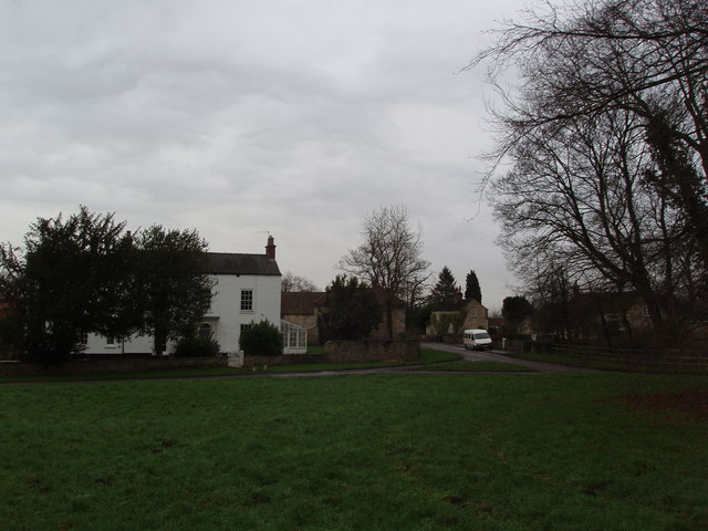
Ulleskelf
Ulleskelf is a village and civil parish in the Selby District of North Yorkshire, England, four miles from Tadcaster on the River Wharfe. Its name comes...
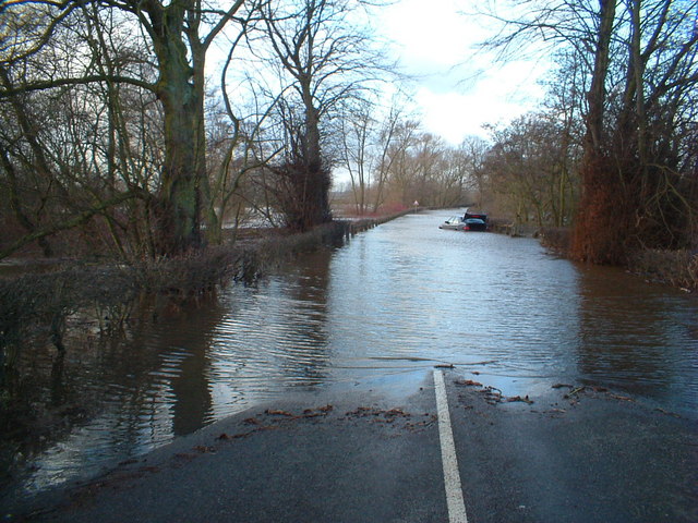
Cock Beck
Cock Beck is a stream in the outlying areas of East Leeds, West Yorkshire, England, which runs from its source due to a runoff north-west of Whinmoor,...
Towton
Towton is a small village and civil parish in the Selby District of North Yorkshire, England. It was historically part of the West Riding of Yorkshire...

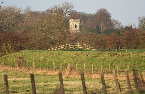
Towton Hall
Towton Hall is a mansion, a home, near the village of Towton in North Yorkshire, England. The building, known to been built as a residence in the seventeenth...
Nearby Amenities
Located within 500m of 53.858981,-1.2371188Have you been to Ladyflats Plantations?
Leave your review of Ladyflats Plantations below (or comments, questions and feedback).