Bowdown Copse
Wood, Forest in Berkshire
England
Bowdown Copse

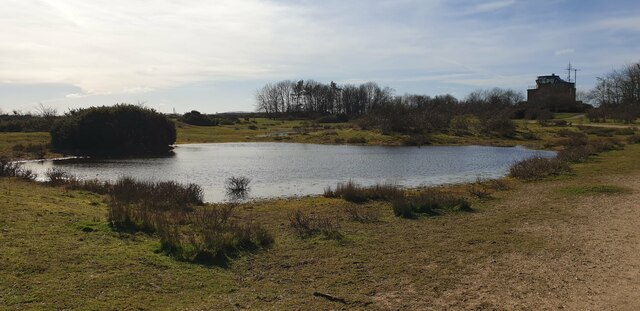
Bowdown Copse is a picturesque woodland area located in Berkshire, England. Covering a total area of approximately 12 hectares, it is a popular destination for nature enthusiasts and hikers. Situated near the village of Thatcham, the copse is easily accessible and offers a tranquil retreat from the busy city life.
The copse is primarily made up of broadleaf trees, including oak, beech, and birch, which create a dense canopy and provide a habitat for a wide variety of flora and fauna. Bluebells and wild garlic carpet the forest floor in the spring, adding a vibrant burst of color to the landscape.
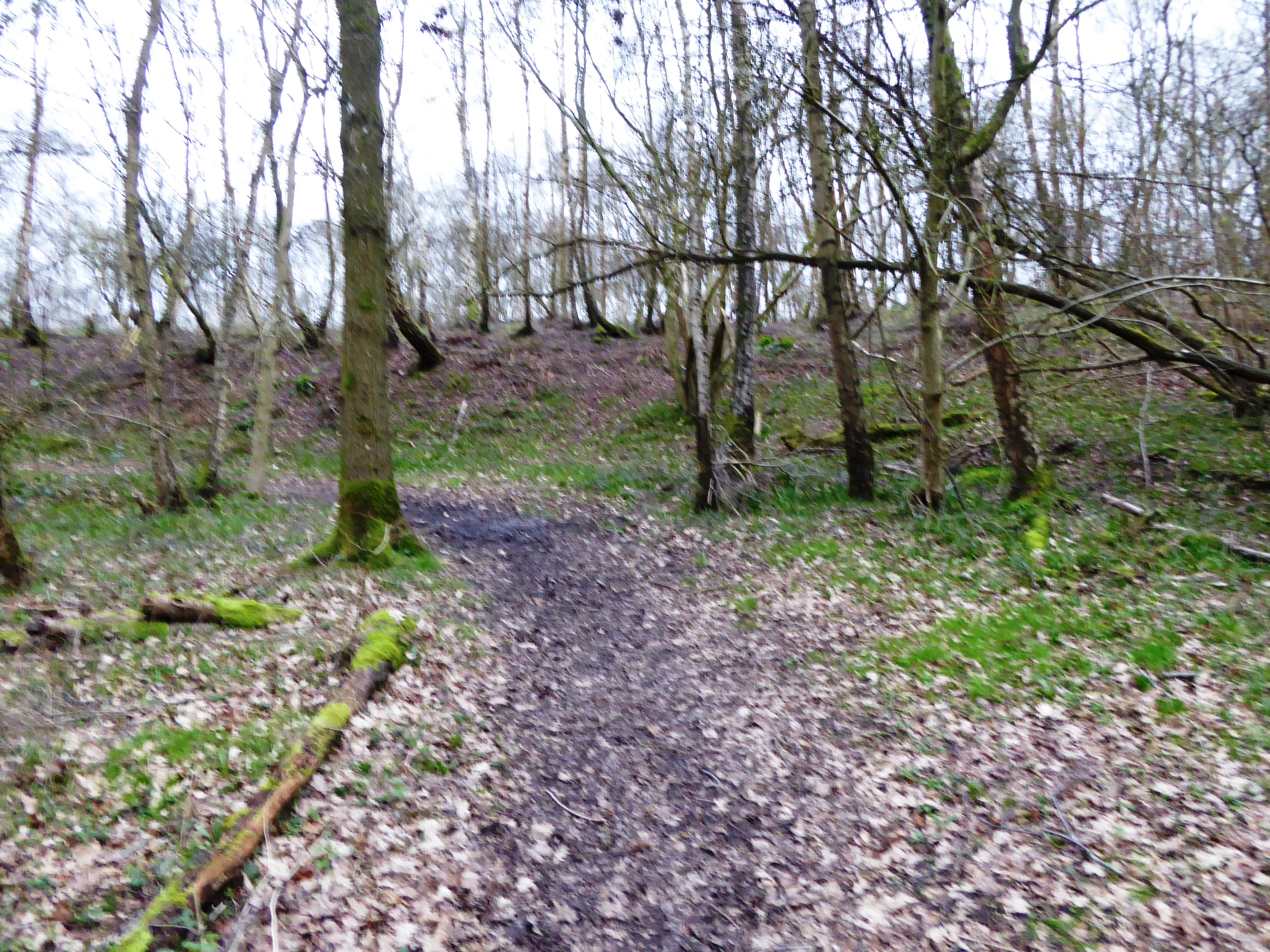
The woodland is crisscrossed with several well-maintained footpaths, allowing visitors to explore its beauty at their own pace. The paths wind through the trees, leading to occasional clearings with benches, perfect for a peaceful picnic or simply taking in the natural surroundings.
Bowdown Copse is also home to a diverse range of wildlife. Birdwatchers can spot various species of birds, including woodpeckers, song thrushes, and owls. Other inhabitants of the copse include deer, foxes, and squirrels, which can often be spotted darting through the undergrowth.
Due to its natural beauty and ecological significance, Bowdown Copse is designated as a Site of Special Scientific Interest (SSSI), ensuring its protection and conservation. The copse serves as an important habitat for many species of plants and animals, contributing to the overall biodiversity of the region.
Overall, Bowdown Copse offers visitors the opportunity to immerse themselves in a tranquil woodland setting, where they can enjoy the beauty of nature and experience the peace and serenity that comes with being surrounded by trees and wildlife.
If you have any feedback on the listing, please let us know in the comments section below.
Bowdown Copse Images
Images are sourced within 2km of 51.387459/-1.2804014 or Grid Reference SU5065. Thanks to Geograph Open Source API. All images are credited.


Bowdown Copse is located at Grid Ref: SU5065 (Lat: 51.387459, Lng: -1.2804014)
Unitary Authority: West Berkshire
Police Authority: Thames Valley
What 3 Words
///ties.elder.deal. Near Greenham, Berkshire
Nearby Locations
Related Wikis
Bowdown and Chamberhouse Woods
Bowdown and Chamberhouse Woods is a 67.9-hectare (168-acre) biological Site of Special Scientific Interest south of Thatcham in Berkshire. An area of 55...

Thatcham Reed Beds
Thatcham Reed Beds is a 67.4-hectare (167-acre) biological Site of Special Scientific Interest east of Newbury in Berkshire. It is part of the Kennet...
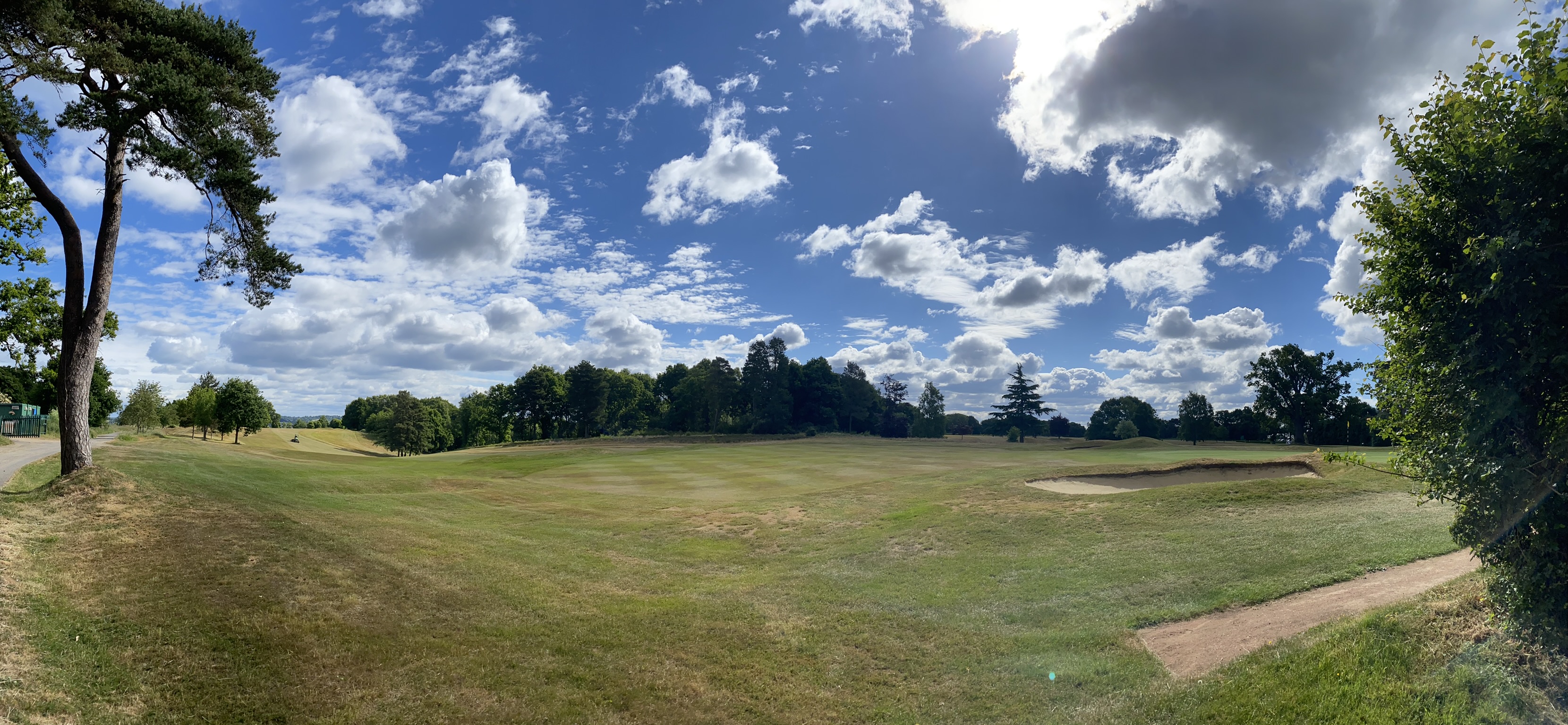
Newbury & Crookham Golf Club
Newbury & Crookham Golf Club is located about two miles from the centre of Newbury, Berkshire on the fringes of Greenham Common. The Club is the result...

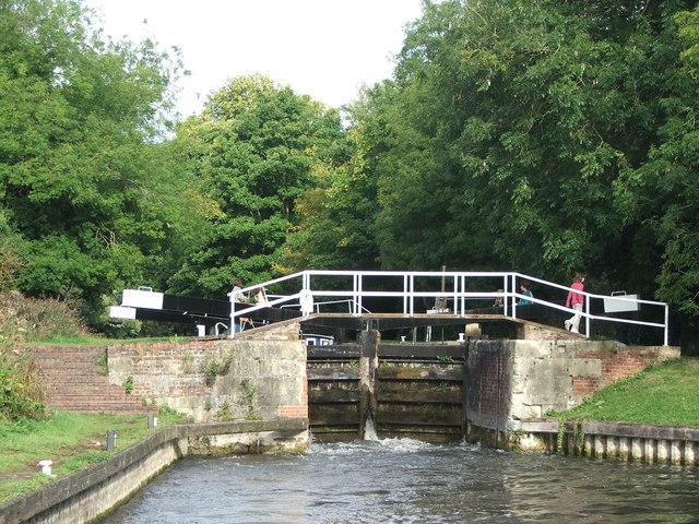
Widmead Lock
Widmead Lock is a lock on the Kennet and Avon Canal, between Newbury and Thatcham, Berkshire, England. Widmead Lock was built between 1718 and 1723 under...

Greenham Preceptory
Greenham Preceptory was a preceptory of Knights Hospitaller at Greenham in the English county of Berkshire.The preceptory was established in 1199 and dissolved...
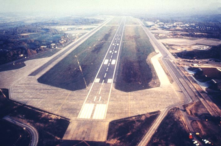
RAF Greenham Common
Royal Air Force Greenham Common or more simply RAF Greenham Common is a former Royal Air Force station in the civil parishes of Greenham and Thatcham in...
Bull's Lock
Bull's Lock is a lock on the Kennet and Avon Canal, at Newbury, Berkshire, England. Bull's Lock was built between 1718 and 1723 under the supervision of...

Greenham and Crookham Commons
Greenham and Crookham Commons are two adjoining public park areas of 280.5-hectare (693-acre) common land designated as a biological Site of Special Scientific...
Nearby Amenities
Located within 500m of 51.387459,-1.2804014Have you been to Bowdown Copse?
Leave your review of Bowdown Copse below (or comments, questions and feedback).