Gatcombe Withy Bed

Wood, Forest in Hampshire

England

Gatcombe Withy Bed

Bend on main road through Chillerton Brook Lane leaves on the right and immediately passes through a ford.
Bend on main road through Chillerton Credit: Robin Webster

Gatcombe Withy Bed is a picturesque woodland located in Hampshire, England. Situated in the heart of the New Forest, this ancient woodland covers an area of approximately 200 acres, offering a tranquil and natural setting for visitors to explore.

The woodland is predominantly composed of withy beds, which are areas where willow trees are grown for traditional crafts such as basket weaving. These withy beds provide a unique and distinctive feature to the landscape, with the willow trees creating a dense canopy that filters sunlight, casting dappled shadows on the forest floor.

Gatcombe Withy Bed is home to a diverse range of flora and fauna, making it a haven for wildlife enthusiasts and nature lovers. The woodland supports an array of plant species, including bluebells, primroses, and wild garlic, which carpet the forest floor in spring. The canopy above is inhabited by various bird species, such as woodpeckers, chiffchaffs, and tawny owls, which can be heard and observed throughout the year.

Visitors to Gatcombe Withy Bed can enjoy a network of well-maintained footpaths that meander through the woodland, allowing them to fully immerse themselves in the natural beauty of the area. These paths lead to open clearings, where visitors can rest and admire the tranquil surroundings.

In addition to its natural beauty, Gatcombe Withy Bed also has a rich cultural and historical significance. It has been used for traditional crafts for centuries, and the remains of old lime kilns can still be found within the woodland, serving as a reminder of its industrial past.

Overall, Gatcombe Withy Bed is a captivating woodland that offers visitors a chance to escape the hustle and bustle of everyday life and reconnect with nature in a peaceful and serene environment.

If you have any feedback on the listing, please let us know in the comments section below.

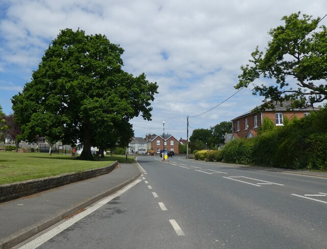
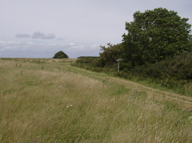
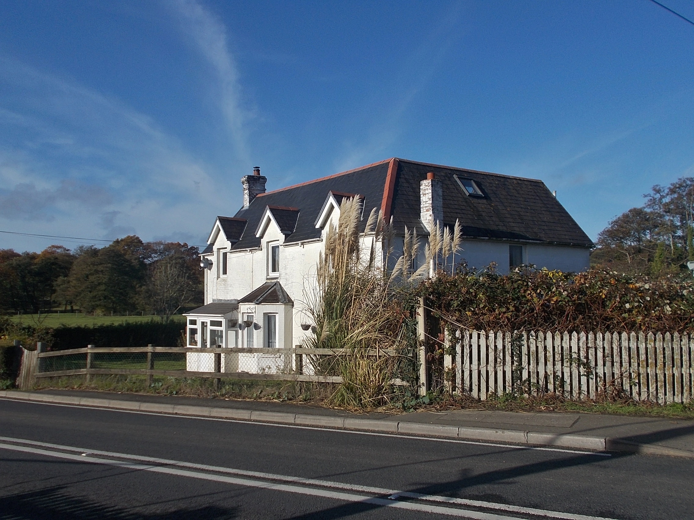
Gatcombe Withy Bed Images

Images are sourced within 2km of 50.668022/-1.2927961 or Grid Reference SZ5085. Thanks to Geograph Open Source API. All images are credited.

Bend on main road through Chillerton Brook Lane leaves on the right and immediately passes through a ford.
Bend on main road through Chillerton
Brook Lane leaves on the right and immediately passes through a ford.
Main Road, Rookley Outside the Co-op with a car sales place over the road.
Main Road, Rookley
Outside the Co-op with a car sales place over the road.
Business Estate Entrance, Main Road
Stone Farm solar panels, Blackwater
View towards gravel works, St George's Down
The former St Barnabas Church Originating in the late nineteenth century, the building is now used as a farm shop.
The former St Barnabas Church
Originating in the late nineteenth century, the building is now used as a farm shop.
Island Car Centre, Rookley
Radcliffe's Farm Shop Formerly St Barnabas Church
Radcliffe's Farm Shop
Formerly St Barnabas Church
Main Road, Rookley
Main Road, Rookley
St Olaves Church , Gatcombe 11th century church in the village of Gatcombe on the Isle of Wight.
St Olaves Church , Gatcombe
11th century church in the village of Gatcombe on the Isle of Wight.
Whitecroft Mental Hospital I.o.W. Whitecroft Mental Hospital I.o.W. now disused and awaiting development.
Link 
<span class="nowrap"><a title="http://www.isle-of-wight-memorials.org.uk/others/whitecrofthospitalwm.htm" rel="nofollow ugc noopener" href="http://www.isle-of-wight-memorials.org.uk/others/whitecrofthospitalwm.htm">Link</a><img style="margin-left:2px;" alt="External link" title="External link - shift click to open in new window" src="https://s1.geograph.org.uk/img/external.png" width="10" height="10"/></span>
Whitecroft Mental Hospital I.o.W.
Whitecroft Mental Hospital I.o.W. now disused and awaiting development. Link LinkExternal link
Whitecroft Hospital Clocktower Now derelict and awaiting development.
Whitecroft Hospital Clocktower
Now derelict and awaiting development.
Chillerton Looking towards the centre of the village. The ford in the foreground is Brook Lane, giving access to a handful of houses. It is also a bridleway.
Chillerton
Looking towards the centre of the village. The ford in the foreground is Brook Lane, giving access to a handful of houses. It is also a bridleway.
Bridleway near Chillerton Downland scenery, typical of the south of the Isle of Wight.
Bridleway near Chillerton
Downland scenery, typical of the south of the Isle of Wight.
Downland near Chillerton Scenery typical of the south of the Isle of Wight. The woodland is Tolt Copse.
Downland near Chillerton
Scenery typical of the south of the Isle of Wight. The woodland is Tolt Copse.
Chillerton The building on the left is Chillerton and Rookley Primary School.
Chillerton
The building on the left is Chillerton and Rookley Primary School.
Snowdrop Lane No mistaking the location.  This hamlet is called Little Gatcombe and consists of a number of secluded cottages dotted around the bottom of the scarp slope of the downs.
Snowdrop Lane
No mistaking the location. This hamlet is called Little Gatcombe and consists of a number of secluded cottages dotted around the bottom of the scarp slope of the downs.
Path junction above Vayres Farm The path on the right, a bridleway, is the Shepherd's Trail, one of the islands many named paths, heading north towards Carisbrooke.  Another less distinct bridleway comes in from the south-west.  Beyond the trees the land drops steeply down to Vayres Farm.
Path junction above Vayres Farm
The path on the right, a bridleway, is the Shepherd's Trail, one of the islands many named paths, heading north towards Carisbrooke. Another less distinct bridleway comes in from the south-west. Beyond the trees the land drops steeply down to Vayres Farm.
Show me another place!

Gatcombe Withy Bed is located at Grid Ref: SZ5085 (Lat: 50.668022, Lng: -1.2927961)

Unitary Authority: Isle of Wight

Police Authority: Hampshire

What 3 Words

///shuttled.growth.shelter. Near Newport, Isle of Wight

Nearby Locations

Gatcombe Withy Bed

Related Wikis

Whitecroft Hospital

Whitecroft Hospital was a mental health facility near to Gatcombe on the Isle of Wight, England. The clock tower is a Grade II listed building. == History... ==

Blackwater railway station (Isle of Wight)

Blackwater railway station was a station at Blackwater, Isle of Wight, off the south coast of England. == History == Located in the centre of the island...

St Olave's Church, Gatcombe

St Olave's Church, Gatcombe is a parish church in the Church of England located in Gatcombe, Isle of Wight. It is grouped with Sts Thomas Minster, Newport...

Pidford Manor

Pidford Manor is a manor house in Rookley, on the Isle of Wight, England. It is a five-bay Georgian style home on 11 acres (4.5 ha), accessed from the...

Nearby Amenities

Located within 500m of 50.668022,-1.2927961
Source: Bing
Lat/Long: 50.6707368/-1.2879635
Source: Bing
Lat/Long: 50.6683523/-1.2903338
Source: Bing
Lat/Long: 50.6679576/-1.2905835
Source: Bing
Lat/Long: 50.6676335/-1.290284
Source: Bing
Lat/Long: 50.6667055/-1.2904213
Source: Bing
Lat/Long: 50.6662716/-1.2904991
Source: Bing
Lat/Long: 50.6642255/-1.2915998
Source: Bing
Lat/Long: 50.6639501/-1.2919424
Gatcombe Withy Bed
Place: locality
Lat/Long: 50.668382/-1.2927389
Power: pole
Transformer: distribution
Lat/Long: 50.6700165/-1.2976688
The data included in this document is from www.openstreetmap.org. The data is made available under ODbL.

Have you been to Gatcombe Withy Bed?

Leave your review of Gatcombe Withy Bed below (or comments, questions and feedback).