Afghan Spinney
Wood, Forest in Warwickshire Stratford-on-Avon
England
Afghan Spinney

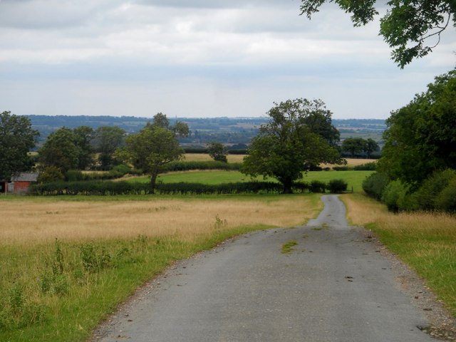
Afghan Spinney is a woodland area located in Warwickshire, England. Covering an approximate area of [insert size], it is a natural haven known for its serene beauty and diverse flora and fauna.
The woodland is known locally as "Spinney," a term commonly used in the Midlands to describe a small area of trees or woodland. Afghan Spinney gets its name from the nearby village of Afghan, which it is closely associated with. The origins of the name are not entirely clear, but it is believed to have been named after a local family or prominent figure.
The Spinney is predominantly composed of native trees such as oak, ash, and birch, with a dense undergrowth of ferns, bluebells and other wildflowers. The trees provide a habitat for a variety of bird species, including woodpeckers, owls, and songbirds. Small mammals such as squirrels, rabbits, and hedgehogs can also be spotted in the Spinney.
The woodland is a popular destination for nature enthusiasts, walkers, and families looking to enjoy a peaceful and picturesque setting. There are well-maintained footpaths that wind through the Spinney, allowing visitors to explore the area and soak in its natural beauty.
Afghan Spinney is also part of a larger network of woodlands and green spaces in Warwickshire, offering opportunities for further exploration and outdoor activities. Local conservation efforts ensure the preservation of this natural treasure, making it a cherished asset to the community and a valuable habitat for wildlife.
If you have any feedback on the listing, please let us know in the comments section below.
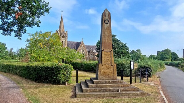
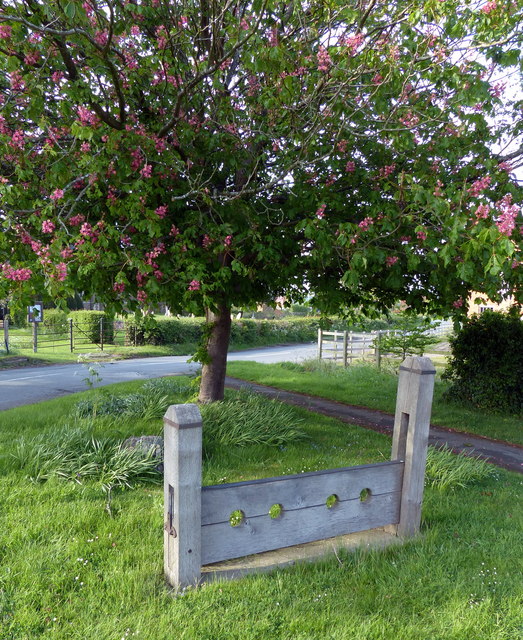
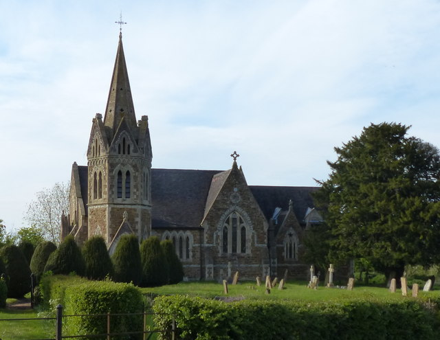
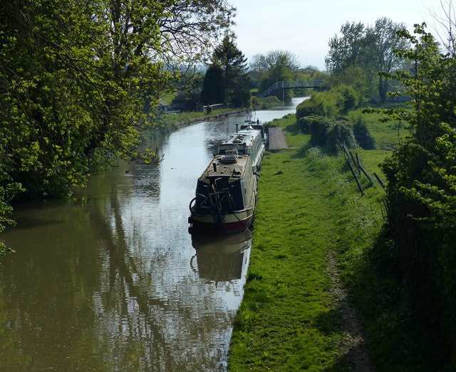
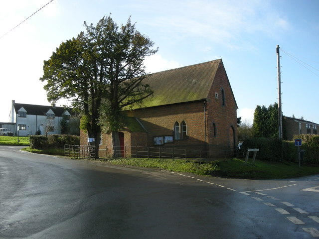
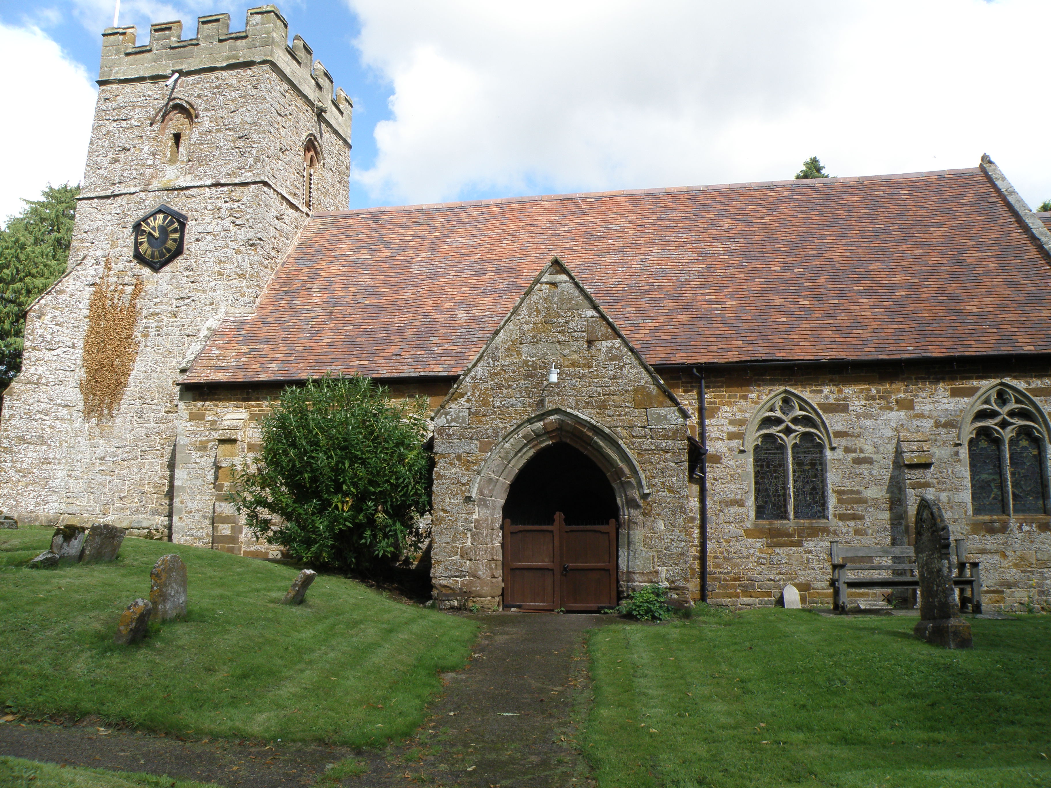
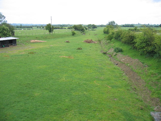
Afghan Spinney Images
Images are sourced within 2km of 52.247061/-1.2692912 or Grid Reference SP4961. Thanks to Geograph Open Source API. All images are credited.


Afghan Spinney is located at Grid Ref: SP4961 (Lat: 52.247061, Lng: -1.2692912)
Administrative County: Warwickshire
District: Stratford-on-Avon
Police Authority: Warwickshire
What 3 Words
///pumps.handlebar.pretty. Near Stockton, Warwickshire
Related Wikis
Shuckburgh Hall
Shuckburgh Hall is a privately owned country house mansion at Lower Shuckburgh, Warwickshire, near to Daventry in Northamptonshire. The estate has been...
Lower Shuckburgh
Lower Shuckburgh is a small village and former civil parish, now in the parish of Upper and Lower Shuckburgh, (which in the 2001 census had a population...

Catesby Priory
Catesby Priory was a priory of Cistercian nuns at Lower Catesby, Northamptonshire, England. It was founded in about 1175 and dissolved in 1536. == History... ==
Lower Catesby
Lower Catesby is a hamlet in the civil parish of Catesby, Northamptonshire, about 4 miles (6.4 km) southwest of Daventry. Lower Catesby is beside the nascent...
Flecknoe
Flecknoe is a village in the Rugby district of Warwickshire, England, one mile west of the border with Northamptonshire. The village is the largest settlement...
Hellidon
Hellidon is a village and civil parish about 5 miles (8 km) south-west of Daventry in Northamptonshire, England. The parish area is about 1,600 acres...

Catesby, Northamptonshire
Catesby is a civil parish in West Northamptonshire, England. There are two hamlets, Lower Catesby and Upper Catesby, each of which is a shrunken village...
Flecknoe railway station
Flecknoe was a railway station that served the village of Flecknoe in Warwickshire, England, on the Weedon to Leamington Spa branch line. The station was...
Nearby Amenities
Located within 500m of 52.247061,-1.2692912Have you been to Afghan Spinney?
Leave your review of Afghan Spinney below (or comments, questions and feedback).