Round Hill
Hill, Mountain in Warwickshire Stratford-on-Avon
England
Round Hill

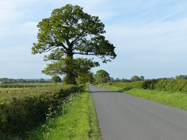
Round Hill is a prominent hill located in Warwickshire, England. It is situated within the county's picturesque countryside, specifically in a rural area near the village of Alcester. This natural landmark is classified as a hill rather than a mountain due to its relatively modest elevation. Rising to a height of approximately 185 meters (607 feet), Round Hill stands as a notable feature in the region's topography.
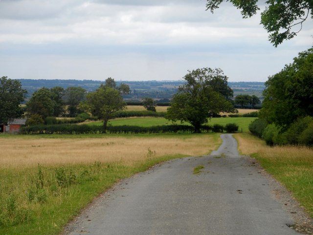
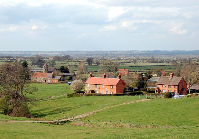
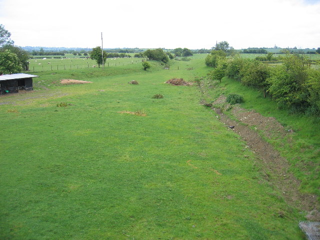
The hill itself boasts a rounded shape, which is reflected in its name. Its slopes are covered in lush green vegetation, with patches of woodland and grassland interspersed throughout. This creates a scenic landscape that is popular among hikers, nature enthusiasts, and photographers. From the summit, visitors can enjoy panoramic views of the surrounding countryside, including the nearby Alcester and the rolling Warwickshire hills.
Round Hill is also home to a diverse range of flora and fauna. The hill's varied habitats provide an ideal environment for numerous plant species, including wildflowers, shrubs, and trees. Additionally, the area supports a variety of wildlife, such as rabbits, foxes, and various bird species.
Due to its accessible location and natural beauty, Round Hill has become a popular destination for outdoor recreational activities. It offers several walking trails and footpaths that allow visitors to explore the hill and its surroundings. The area is also well-maintained, with amenities such as parking areas and picnic spots available for visitors' convenience.
Overall, Round Hill in Warwickshire is a captivating natural landmark that offers stunning views, diverse ecosystems, and outdoor recreational opportunities for locals and visitors alike.
If you have any feedback on the listing, please let us know in the comments section below.
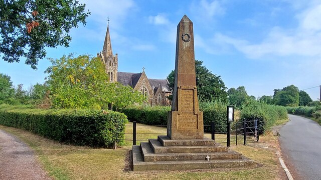
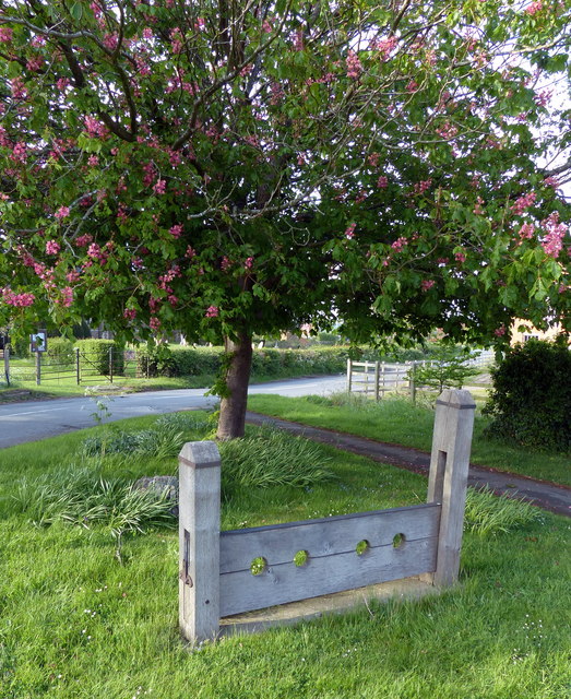
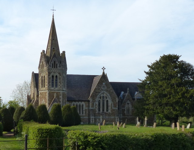
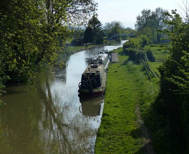
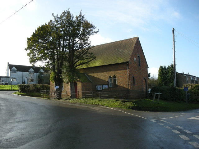
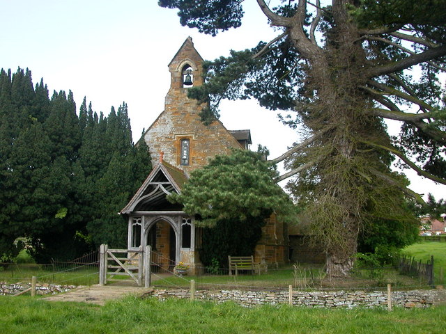
Round Hill Images
Images are sourced within 2km of 52.250024/-1.2774455 or Grid Reference SP4961. Thanks to Geograph Open Source API. All images are credited.


Round Hill is located at Grid Ref: SP4961 (Lat: 52.250024, Lng: -1.2774455)
Administrative County: Warwickshire
District: Stratford-on-Avon
Police Authority: Warwickshire
What 3 Words
///feared.dazzling.hillsides. Near Stockton, Warwickshire
Nearby Locations
Related Wikis
Shuckburgh Hall
Shuckburgh Hall is a privately owned country house mansion at Lower Shuckburgh, Warwickshire, near to Daventry in Northamptonshire. The estate has been...
Lower Shuckburgh
Lower Shuckburgh is a small village and former civil parish, now in the parish of Upper and Lower Shuckburgh, (which in the 2001 census had a population...
Flecknoe
Flecknoe is a village in the Rugby district of Warwickshire, England, one mile west of the border with Northamptonshire. The village is the largest settlement...

Catesby Priory
Catesby Priory was a priory of Cistercian nuns at Lower Catesby, Northamptonshire, England. It was founded in about 1175 and dissolved in 1536. == History... ==
Flecknoe railway station
Flecknoe was a railway station that served the village of Flecknoe in Warwickshire, England, on the Weedon to Leamington Spa branch line. The station was...
Lower Catesby
Lower Catesby is a hamlet in the civil parish of Catesby, Northamptonshire, about 4 miles (6.4 km) southwest of Daventry. Lower Catesby is beside the nascent...
Ed Bishop
George Victor Bishop (11 June 1932 – 8 June 2005), known professionally as Ed Bishop or sometimes Edward Bishop, was an American actor, predominantly based...

Napton on the Hill
Napton on the Hill, often referred to locally as just Napton, is a village and civil parish 3 miles (4.8 km) east of Southam in Warwickshire, England....
Nearby Amenities
Located within 500m of 52.250024,-1.2774455Have you been to Round Hill?
Leave your review of Round Hill below (or comments, questions and feedback).