Coronation Belt
Wood, Forest in Yorkshire Harrogate
England
Coronation Belt
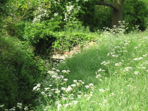
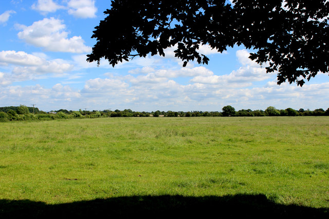
Coronation Belt is a picturesque woodland area located in the county of Yorkshire, England. Situated in the heart of the region, it is renowned for its natural beauty and rich history. The woodland stretches over a vast expanse, covering several hectares of land.
The name "Coronation Belt" originates from the historic connection to the coronation of King George VI in 1937. The area was replanted with a variety of trees to commemorate this significant event, resulting in a dense forest with a diverse range of flora and fauna. The woodland is predominantly composed of native tree species such as oak, birch, and beech, providing a tranquil and serene atmosphere for visitors.
The forest is a haven for wildlife, where visitors can spot a myriad of species including deer, foxes, and a variety of birdlife. It is also home to a network of walking trails, allowing nature enthusiasts and hikers to explore the area and soak up its natural splendor. The trails are well-maintained and offer varying levels of difficulty, catering to both casual walkers and experienced trekkers.
In addition to its natural beauty, Coronation Belt has historical significance. It is believed to have been part of the ancient royal hunting grounds, dating back centuries. The remnants of old stone walls and boundary markers are scattered throughout the woodland, serving as reminders of its storied past.
Overall, Coronation Belt in Yorkshire is a captivating destination for nature lovers and history enthusiasts alike. With its stunning woodland scenery, abundant wildlife, and rich heritage, it offers a truly immersive experience for those seeking to connect with nature and explore Yorkshire's diverse landscape.
If you have any feedback on the listing, please let us know in the comments section below.
Coronation Belt Images
Images are sourced within 2km of 53.943192/-1.241708 or Grid Reference SE4949. Thanks to Geograph Open Source API. All images are credited.

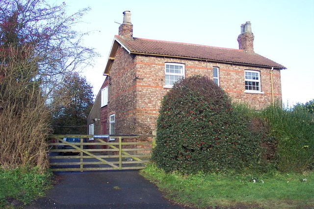

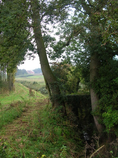
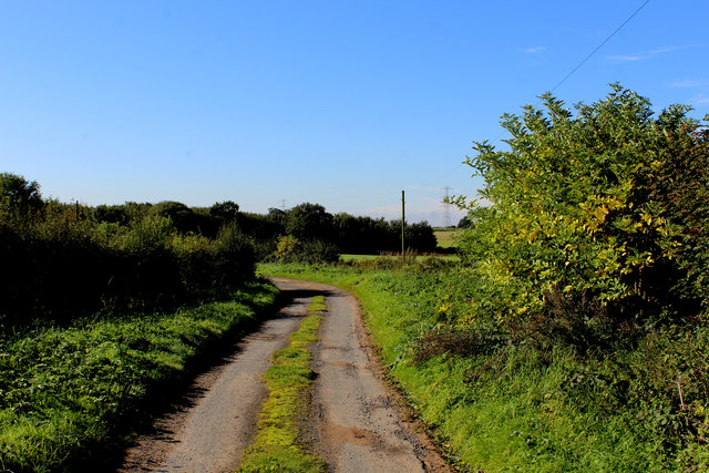
![Healaugh Lane A no-through-road running south-east from the B1224 [Wetherby Road].](https://s2.geograph.org.uk/geophotos/05/26/84/5268438_15ffbab6.jpg)
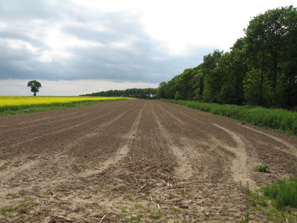
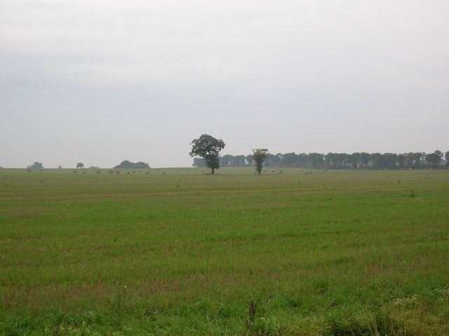
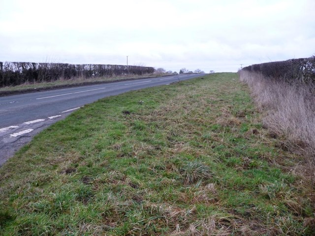
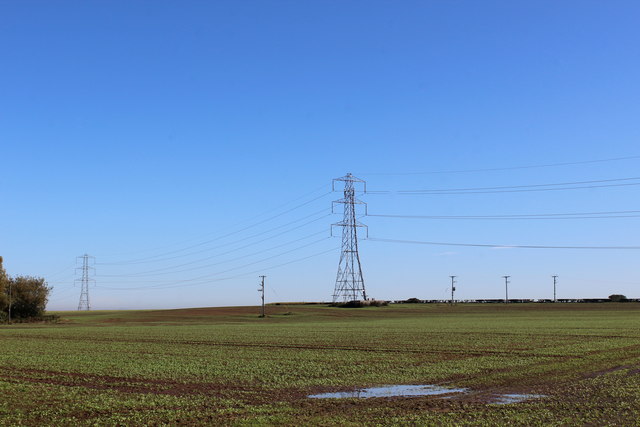
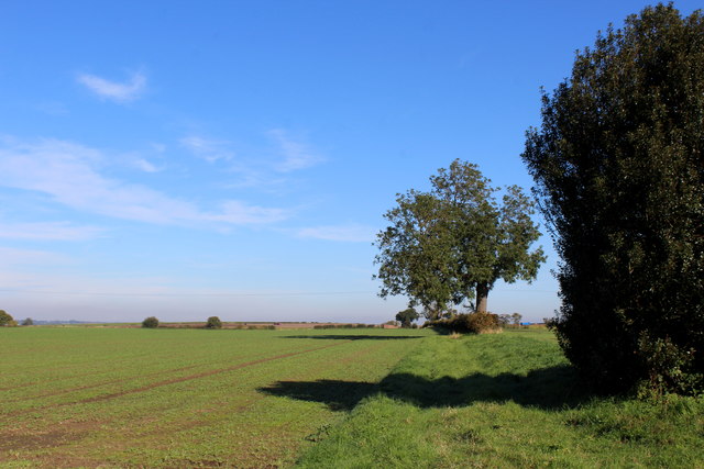
![Farmland bordered by Healaugh Lane and the B1224 In the distant, the northern tip of Coronation Belt [a shelterbelt].](https://s2.geograph.org.uk/geophotos/05/26/84/5268446_21309d1c.jpg)
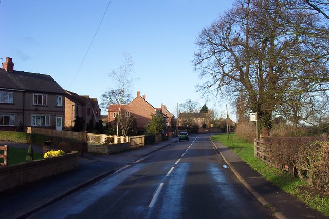
![Junction of Healaugh Lane and Wetherby Road [B1224] As usual around here, a grassy triangle makes the turn easier.](https://s2.geograph.org.uk/geophotos/05/26/84/5268454_1c81ca80.jpg)

Coronation Belt is located at Grid Ref: SE4949 (Lat: 53.943192, Lng: -1.241708)
Division: West Riding
Administrative County: North Yorkshire
District: Harrogate
Police Authority: North Yorkshire
What 3 Words
///lifeguard.baths.paces. Near Askham Richard, North Yorkshire
Nearby Locations
Related Wikis
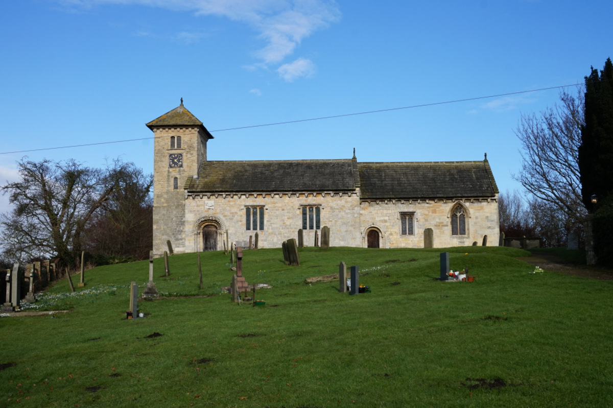
All Saints' Church, Long Marston
All Saints' Church is the parish church of Long Marston, a village in the Harrogate district of North Yorkshire, in England. A chapel was built at the...

Long Marston, North Yorkshire
Long Marston is a village and civil parish in the Harrogate district of North Yorkshire, England. Historically part of the West Riding of Yorkshire, it...
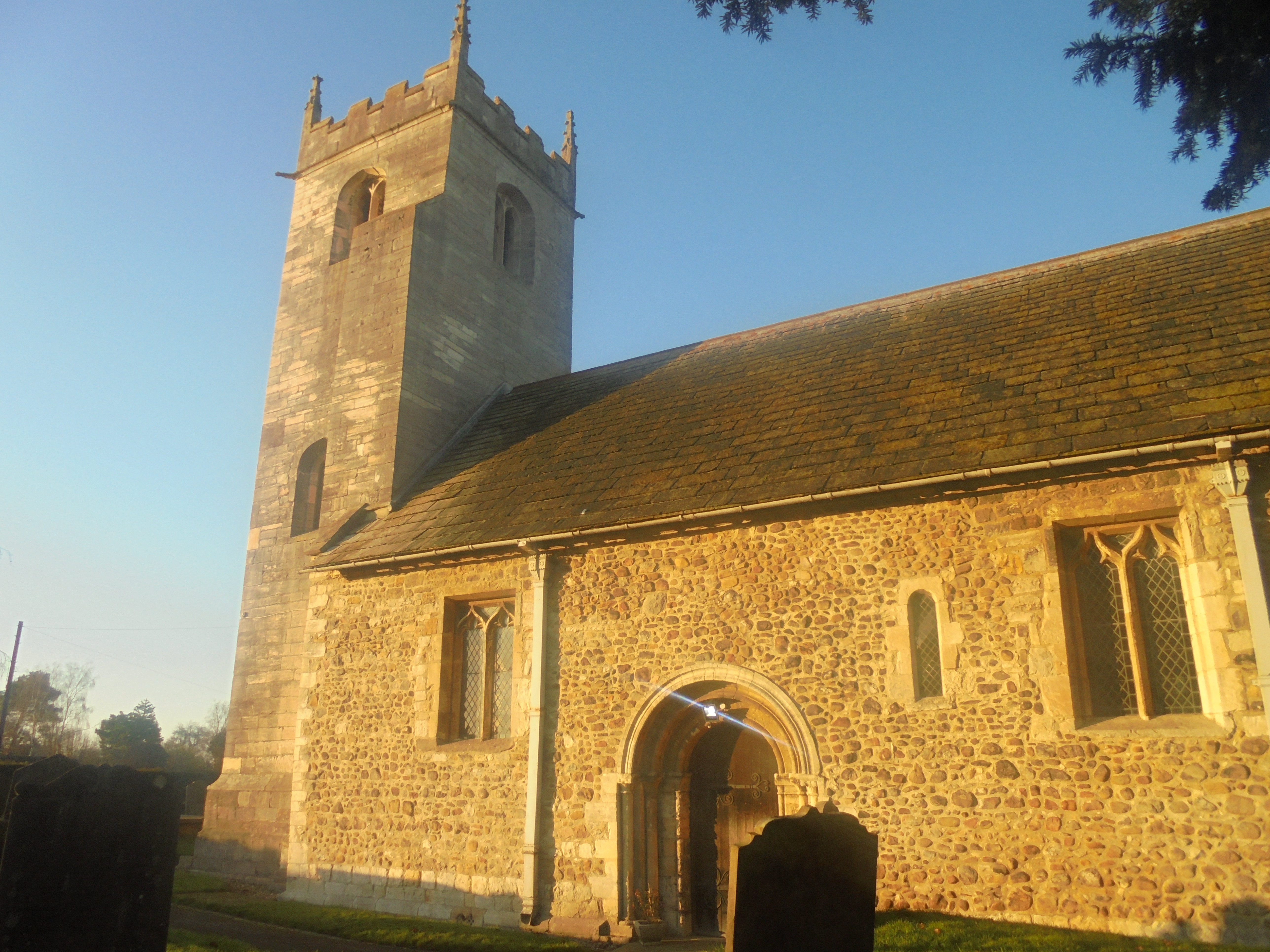
St John the Baptist Church, Healaugh
St John the Baptist Church is the parish church of Healaugh, a village west of York and north of Tadcaster in North Yorkshire, in England. The church was...
Bilton-in-Ainsty
Bilton-in-Ainsty is a village in the civil parish of Bilton-in-Ainsty with Bickerton, in North Yorkshire, England. It lies about 4 miles (6 km) east of...
Have you been to Coronation Belt?
Leave your review of Coronation Belt below (or comments, questions and feedback).