Knapp's Acre
Wood, Forest in Oxfordshire Cherwell
England
Knapp's Acre

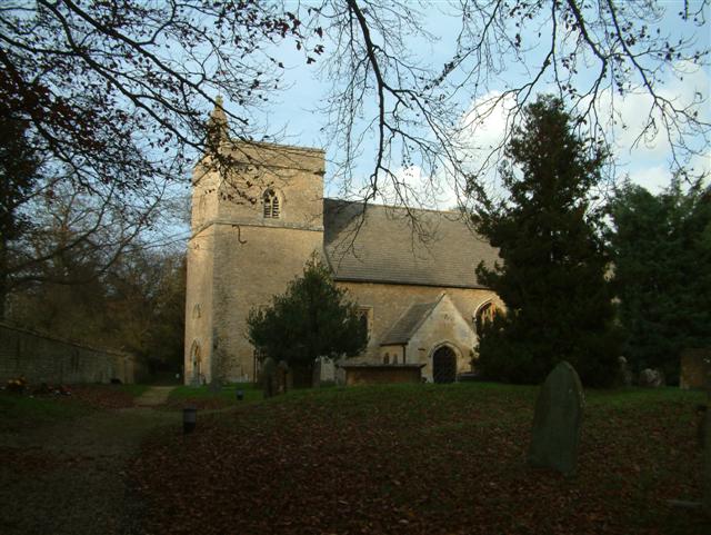
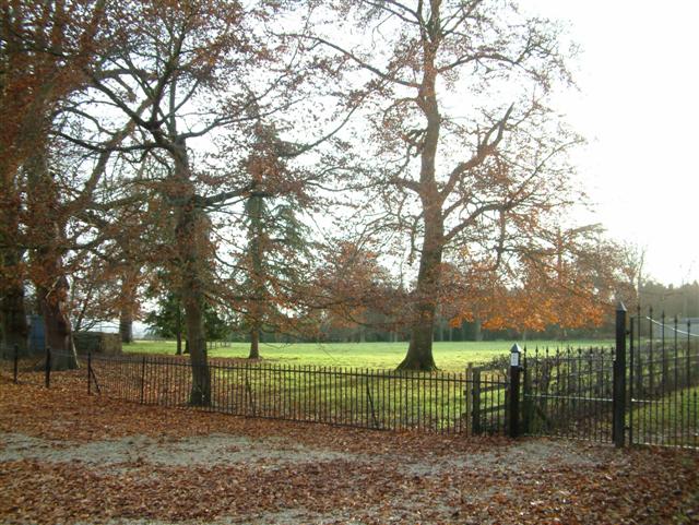
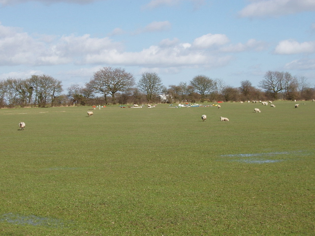
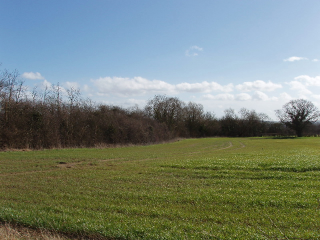
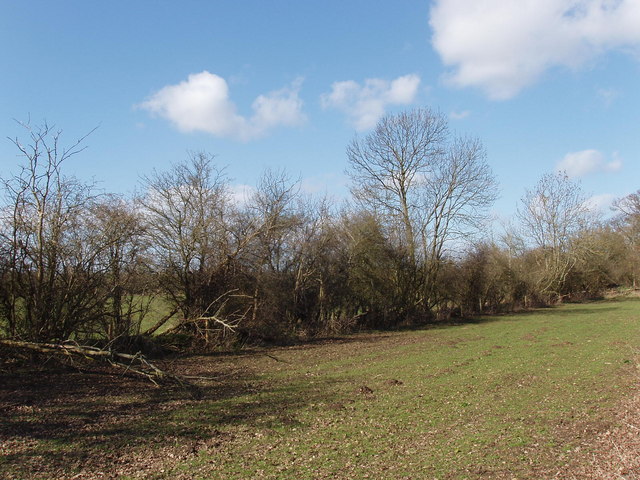
Knapp's Acre is a picturesque woodland located in Oxfordshire, England. Situated in close proximity to the village of Wood, this serene forest spans an area of approximately 20 acres. The woodland is renowned for its natural beauty and tranquil atmosphere, making it a popular destination for nature enthusiasts and those seeking a peaceful retreat.
With its diverse range of tree species, Knapp's Acre offers a stunning display of colors throughout the year. Visitors can expect to find towering oak trees, elegant silver birches, and vibrant beech trees, among others. The forest floor is carpeted with a lush carpet of ferns and wildflowers, creating a vibrant and enchanting landscape.
Several well-maintained walking trails wind their way through the woodland, providing visitors with the opportunity to explore and immerse themselves in the natural surroundings. These paths are suitable for all abilities, making Knapp's Acre accessible to individuals of all ages and fitness levels.
The forest is home to a variety of wildlife, including deer, foxes, and a wide array of bird species. Birdwatchers will delight in the chance to spot woodpeckers, owls, and even the elusive nightingale. Nature lovers can also observe the diverse range of flora and fauna that calls Knapp's Acre home.
Knapp's Acre is a cherished natural gem in Oxfordshire, offering a peaceful escape from the hustle and bustle of everyday life. It provides a wonderful opportunity to reconnect with nature and enjoy the beauty of the English countryside.
If you have any feedback on the listing, please let us know in the comments section below.
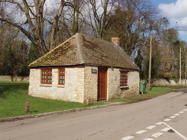
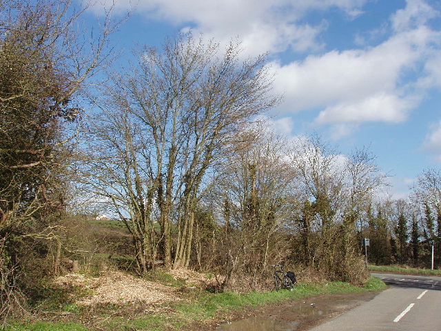
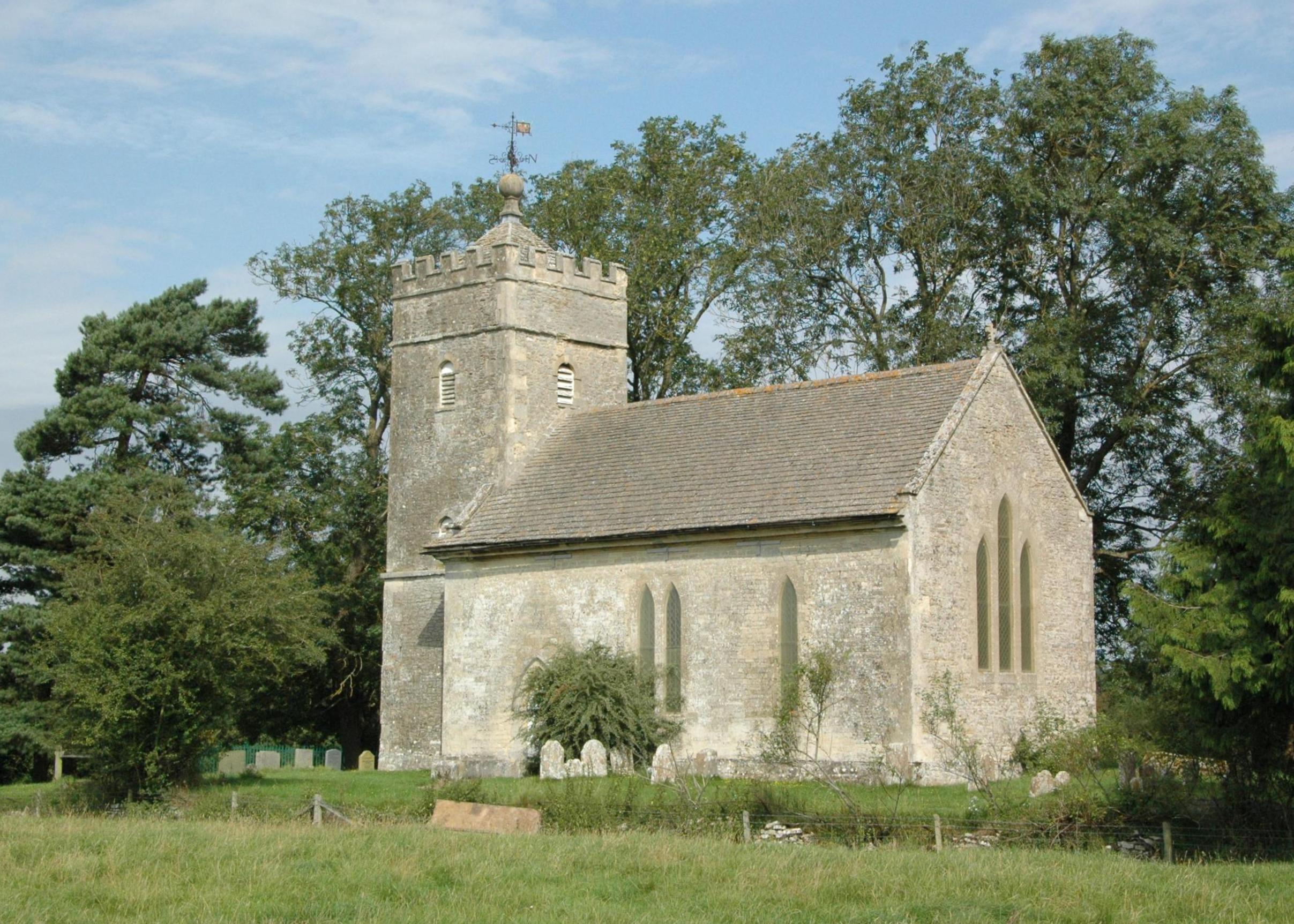
Knapp's Acre Images
Images are sourced within 2km of 51.848404/-1.2786659 or Grid Reference SP4916. Thanks to Geograph Open Source API. All images are credited.


Knapp's Acre is located at Grid Ref: SP4916 (Lat: 51.848404, Lng: -1.2786659)
Administrative County: Oxfordshire
District: Cherwell
Police Authority: Thames Valley
What 3 Words
///tomb.tastier.spearhead. Near Kidlington, Oxfordshire
Nearby Locations
Related Wikis

Bletchingdon
Bletchingdon (also known as Bletchington) is a village and civil parish 2 miles (3 km) north of Kidlington and 6 miles (10 km) southwest of Bicester in...

Bletchingdon Park
Bletchington Park is a Grade II* listed Palladian country house in Bletchingdon, Oxfordshire. == History == Bletchington's medieval manor house was rebuilt...

Hampton Gay and Poyle
Hampton Gay and Poyle is a civil parish in Oxfordshire, England. It was formed in 1932 by merger of the parishes of Hampton Gay (grid reference SP4816...

Shipton-on-Cherwell train crash
The Shipton-on-Cherwell train crash was a major disaster which occurred on the Great Western Railway. It involved the derailment of a long passenger train...

Hampton Poyle
Hampton Poyle is a village in the civil parish of Hampton Gay and Poyle, in the Cherwell district, in the county of Oxfordshire, England. It is the Cherwell...
Hampton Gay
Hampton Gay is a village in the civil parish of Hampton Gay and Poyle, in the Cherwell district, in the county of Oxfordshire, England. It is in the Cherwell...

Shipton-on-Cherwell
Shipton-on-Cherwell is a village on the River Cherwell about 2 miles (3 km) north of Kidlington in Oxfordshire, England. The village is part of the civil...
Shipton-on-Cherwell and Thrupp
Shipton-on-Cherwell and Thrupp is a civil parish in Oxfordshire, England. It was formed in 1955 by removing the hamlet of Thrupp (grid reference SP4815...
Related Videos

Facilities at Greenhill Leisure Park
View of the facilities at Greenhill Leisure Park Jan 2020.

Oxfordshire 4 mile circular walk: Thrupp
Thrupp - Shipton-on-Cherwell - Hampton Gay - Hampton Poyle - 4 mile circular walk Guided Walk: ...

Our Back garden (well for a day or so!)
Even the ducks thought it to cold for a swim!

Wide entrances and Prince Charles building project
Walking ♀️ into Bletchingdon.
Nearby Amenities
Located within 500m of 51.848404,-1.2786659Have you been to Knapp's Acre?
Leave your review of Knapp's Acre below (or comments, questions and feedback).