Ash Row

Wood, Forest in Berkshire

England

Ash Row

The A34 northbound at Graces Lane Bridge
The A34 northbound at Graces Lane Bridge Credit: Ian S

Ash Row is a picturesque village located in the county of Berkshire, England. Nestled amidst a lush woodland area, it is renowned for its natural beauty and tranquil setting. The village is aptly named after the abundance of ash trees that line the rows of houses, creating a unique and charming atmosphere.

The village is home to a close-knit community of residents who enjoy the idyllic rural lifestyle. The houses in Ash Row are primarily traditional cottages made of locally sourced materials, giving the village a timeless appeal. The well-maintained gardens and floral displays further enhance the village's aesthetic charm.

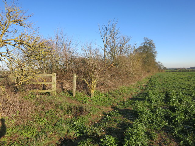
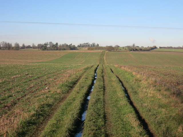
Surrounded by dense forests, Ash Row offers ample opportunities for outdoor activities such as hiking, cycling, and birdwatching. The wooded areas are rich in biodiversity, with a variety of flora and fauna to discover. The village also boasts several walking trails that showcase the area's natural beauty, including a popular route that leads to a nearby river.

Despite its rural setting, Ash Row is conveniently located near major transportation routes, making it easily accessible for residents and visitors alike. The nearby town of Berkshire offers a range of amenities including shops, restaurants, and schools, ensuring that residents have all they need within reach.

In summary, Ash Row, Berkshire, is a charming village surrounded by woodlands, offering a peaceful and picturesque setting. With its traditional cottages, natural beauty, and close-knit community, it is a sought-after location for those seeking a tranquil countryside lifestyle.

If you have any feedback on the listing, please let us know in the comments section below.

Ash Row Images

Images are sourced within 2km of 51.470464/-1.2867128 or Grid Reference SU4974. Thanks to Geograph Open Source API. All images are credited.

The A34 northbound at Graces Lane Bridge
The A34 northbound towards Didcot
Public right of way goes over the A34
The A34 northbound towards Didcot
Poor old Langley Hall Yet another pub gone.
Many's the lunch I've had here when we had work around this area.
There was a landlord called Fred who made proper fresh chips out of real potatoes done in lard.
Aahh...nostalgia...
Poor old Langley Hall
Yet another pub gone. Many's the lunch I've had here when we had work around this area. There was a landlord called Fred who made proper fresh chips out of real potatoes done in lard. Aahh...nostalgia...
Something to do with the tip This is tucked away in a corner of a large waste disposal site. I don't know what it is, but it was making a sort of rumbling noise so it's obviously still working.
Something to do with the tip
This is tucked away in a corner of a large waste disposal site. I don't know what it is, but it was making a sort of rumbling noise so it's obviously still working.
Path around the landfill There is a waste disposal site off to the right here.
The public footpath goes along the boundary.
A groundwater monitoring borehole associated with the site is by the fence on the left of the path.
Path around the landfill
There is a waste disposal site off to the right here. The public footpath goes along the boundary. A groundwater monitoring borehole associated with the site is by the fence on the left of the path.
Path through the Hedge The arable farmland around here is crossed by a good network of footpaths.
This is a typical sort of scene anywhere.
Path through the Hedge
The arable farmland around here is crossed by a good network of footpaths. This is a typical sort of scene anywhere.
Track heading North Public footpath shared with farm vehicles.
Track heading North
Public footpath shared with farm vehicles.
Sandy Lane That's the name from the map for this centre section of a longer right of way which is called Old Street both north and south of this bit.
Sandy Lane
That's the name from the map for this centre section of a longer right of way which is called Old Street both north and south of this bit.
Road to Ashfield's Farm
Small Pond on the Showground This is near one of the entrances to the Newbury Showground.
Small Pond on the Showground
This is near one of the entrances to the Newbury Showground.
Priors Court Road Bridge, M4 The M4 is 190 miles long and runs from London to South Wales. Major centres close to the motorway include Reading, Swindon, Bristol, Newport, Cardiff and Swansea. The motorway was constructed between 1961 and 1996. The M4 originally crossed the first Severn Road Bridge. It has now been diverted to use the Second Severn Crossing and the motorway over the older bridge has been renumbered as M48.
Wikipedia: <span class="nowrap"><a title="http://en.wikipedia.org/wiki/M4_motorway" rel="nofollow ugc noopener" href="http://en.wikipedia.org/wiki/M4_motorway">Link</a><img style="margin-left:2px;" alt="External link" title="External link - shift click to open in new window" src="https://s1.geograph.org.uk/img/external.png" width="10" height="10"/></span>
Priors Court Road Bridge, M4
The M4 is 190 miles long and runs from London to South Wales. Major centres close to the motorway include Reading, Swindon, Bristol, Newport, Cardiff and Swansea. The motorway was constructed between 1961 and 1996. The M4 originally crossed the first Severn Road Bridge. It has now been diverted to use the Second Severn Crossing and the motorway over the older bridge has been renumbered as M48. Wikipedia: LinkExternal link
Priors Court Road crossing the A34
Archie's Farm, Hermitage
Trees by Prior's Court Road, Hermitage
Old Milestone on the former A34 at Downend Carved stone post by the UC road (was A34), in parish of Chieveley (West Berkshire District), Downend; opposite Wellsley, 100m North of junction of road to Downend, in hedge in narrow bank, on West side of road. Ilsley gable, erected by the Andover & Chilton Pond turnpike trust in the 18th century. 

Inscription reads:-
To
NEWBURY (5)
(ILSLEY 4)
ABINGDON 15
OXFORD 21
(1776)  

West Berkshire HER.
HER Number: MWB19842 <span class="nowrap"><a title="https://www.heritagegateway.org.uk/Gateway/Results_Single.aspx?uid=MWB19842&resourceID=1030" rel="nofollow ugc noopener" href="https://www.heritagegateway.org.uk/Gateway/Results_Single.aspx?uid=MWB19842&resourceID=1030">Link</a><img style="margin-left:2px;" alt="External link" title="External link - shift click to open in new window" src="https://s1.geograph.org.uk/img/external.png" width="10" height="10"/></span>

Milestone Society National ID: BE_ABNE15
Old Milestone on the former A34 at Downend
Carved stone post by the UC road (was A34), in parish of Chieveley (West Berkshire District), Downend; opposite Wellsley, 100m North of junction of road to Downend, in hedge in narrow bank, on West side of road. Ilsley gable, erected by the Andover & Chilton Pond turnpike trust in the 18th century. Inscription reads:- To NEWBURY (5) (ILSLEY 4) ABINGDON 15 OXFORD 21 (1776) West Berkshire HER. HER Number: MWB19842 LinkExternal link Milestone Society National ID: BE_ABNE15
A34 northbound
A34 northbound
Show me another place!

Ash Row is located at Grid Ref: SU4974 (Lat: 51.470464, Lng: -1.2867128)

Unitary Authority: West Berkshire

Police Authority: Thames Valley

What 3 Words

///skirting.munch.sobs. Near Hermitage, Berkshire

Nearby Locations

Ash Row

Related Wikis

Bothampstead

Bothampstead is a hamlet in the English county of Berkshire, and within the civil parish of Hampstead Norreys. It consists of several houses and a farm...

Oare, Berkshire

Oare is a small village in the civil parish of Chieveley in the English county of Berkshire. == History == Oare boasts the earliest documented history...

Beedon

Beedon is a village and civil parish about 6+1⁄2 miles (10.5 km) north of Newbury in West Berkshire, England. == Geography == The village has outlying...

Pinewood Halt railway station

Pinewood Halt railway station was a station on the Didcot, Newbury and Southampton Railway in England. It served the northern parts of Hermitage and Oare...

Nearby Amenities

Located within 500m of 51.470464,-1.2867128
The data included in this document is from www.openstreetmap.org. The data is made available under ODbL.

Have you been to Ash Row?

Leave your review of Ash Row below (or comments, questions and feedback).