Abbey Wood
Wood, Forest in Nottinghamshire Broxtowe
England
Abbey Wood

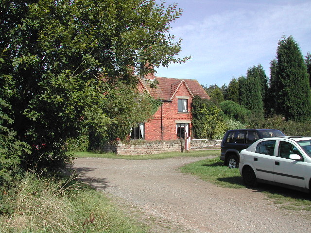
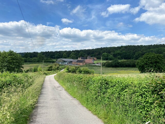
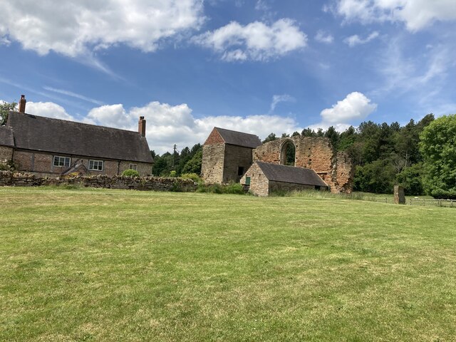
Abbey Wood is a small village located in Nottinghamshire, England. Situated within the larger district of Gedling, it is known for its picturesque woodlands and natural beauty. The village is named after a nearby abbey that existed in medieval times.
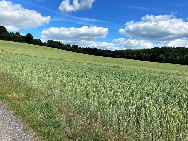
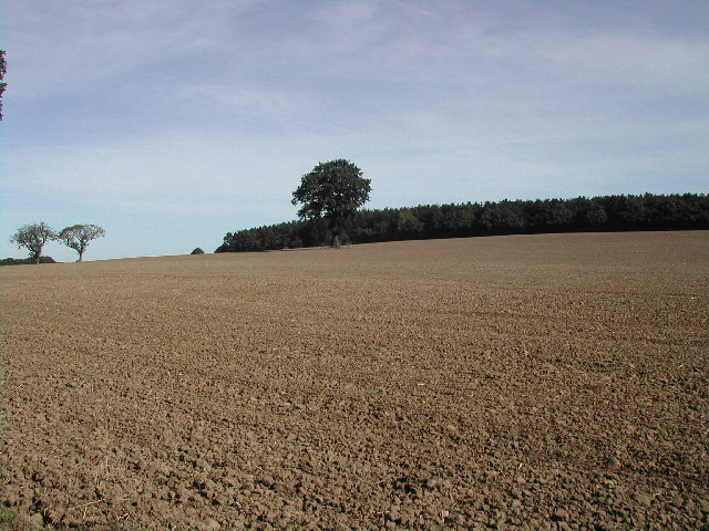
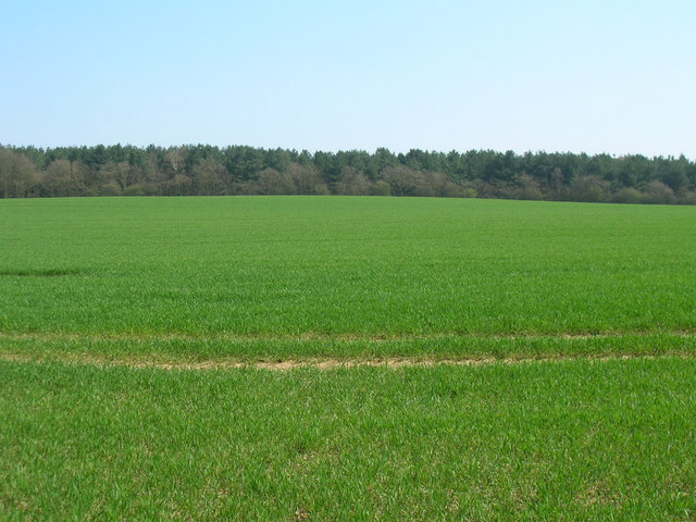
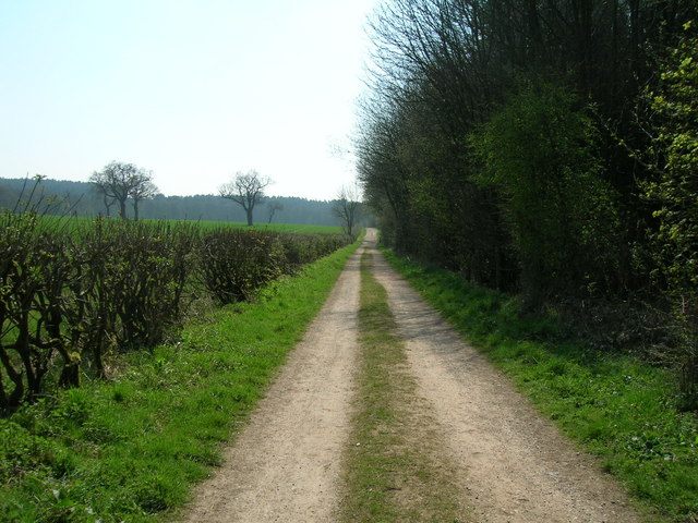
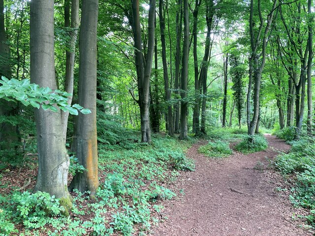
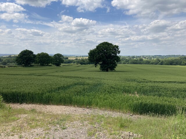
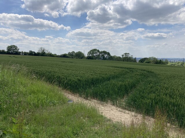
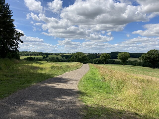
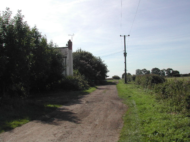
Abbey Wood is characterized by its dense forest, which covers a significant portion of the area. These woodlands are home to a diverse range of flora and fauna, making it a popular destination for nature enthusiasts and hikers. The village offers several well-maintained walking trails that allow visitors to explore the stunning natural surroundings.
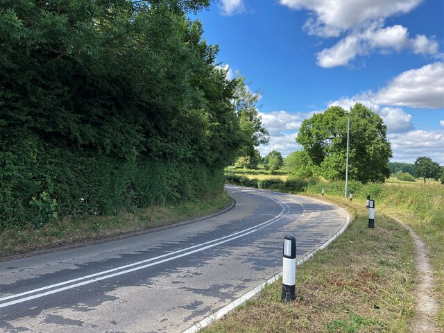
Despite its rural setting, Abbey Wood is conveniently located near major transportation routes. It is situated just off the A612 road, providing easy access to Nottingham city center and other nearby towns. The village is also served by regular bus services, making it easily accessible for both residents and visitors.
In terms of amenities, Abbey Wood offers limited facilities within the village itself. However, nearby towns and villages provide a range of services including shops, schools, and healthcare facilities. The village does have a charming local pub, which serves as a social hub for residents and visitors alike.
Overall, Abbey Wood offers a peaceful and idyllic setting for those looking to escape the hustle and bustle of city life. With its beautiful woodlands and convenient location, it is a hidden gem in the Nottinghamshire countryside.
If you have any feedback on the listing, please let us know in the comments section below.
Abbey Wood Images
Images are sourced within 2km of 53.038917/-1.2618546 or Grid Reference SK4949. Thanks to Geograph Open Source API. All images are credited.


Abbey Wood is located at Grid Ref: SK4949 (Lat: 53.038917, Lng: -1.2618546)
Administrative County: Nottinghamshire
District: Broxtowe
Police Authority: Nottinghamshire
What 3 Words
///yappy.seducing.fiery. Near Hucknall, Nottinghamshire
Nearby Locations
Related Wikis

Beauvale
Beauvale, or Beauvale Newthorpe, is a village in Nottinghamshire, England. It is located 1 mile to the east of Eastwood. It is in Greasley parish. Beauvale...

Beauvale Priory
Beauvale Priory (also known as Beauvale Charterhouse) was a Carthusian monastery in Beauvale, Nottinghamshire. It is a scheduled ancient monument. ��2...

Greasley
Greasley is a civil parish north west of Nottingham in Nottinghamshire, England. Although it is thought there was once a village called Greasley, there...
Underwood, Nottinghamshire
Underwood is a hilltop village within the civil parish of Selston in the English ceremonial county of Nottinghamshire. The village is a ward of Ashfield...
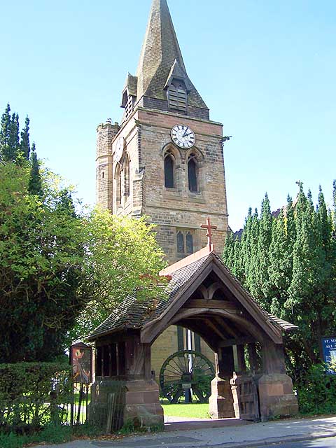
St Mary's Church, Greasley
St Mary's Church, Greasley is a parish church in the Church of England in Greasley, Nottinghamshire. The church is Grade II listed by the Department for...

Felley Priory
Felley Priory is a 16th century house with gardens located in the village of Felley, Nottinghamshire, UK. It is situated on the grounds of a former priory...
Felley
Felley is a civil parish in the Ashfield district, in Nottinghamshire, England, located between Hucknall and Sutton-in-Ashfield. According to the 2001...
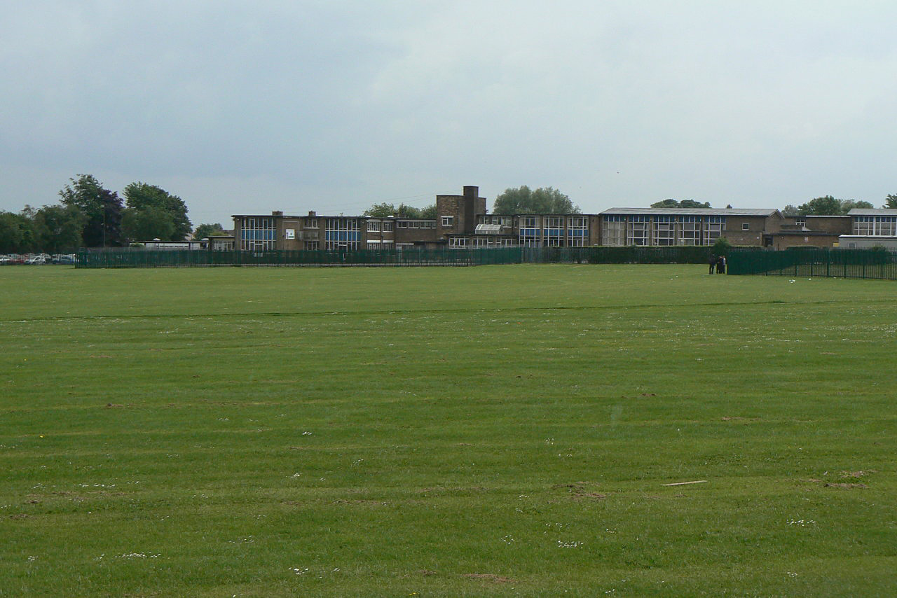
The Holgate Academy
The Holgate Academy (formerly Holgate School) is a coeducational secondary school and sixth form with academy status, located in Hucknall, Nottinghamshire...
Related Videos

A SOLO HIKE UK 4K - through a medieval forest.
Decided to go for another hike as we haven't been out camping in a few weeks. It did not disappoint, what a place. even stopped ...

FELLEY: Ashfield Parish #2 of 3
ASHFIELD PARISH #2: FELLEY This is a pretty unique place. Welcome to Felley, a tiny settlement located off the A608 between ...

Christmas at Reuben Shaw & Sons Garden Centre (2019) (Newthorpe, Nottinghamshire)
A 2019 highlight reel of the Christmas display at Reuben Shaw & Sons Garden Centre in Newthorpe, Nottinghamshire.

Lancaster Bomber - Fabulous Surprise Flypast
This Lancaster Bomber did three circuits during one of our random walks in the North of Nottingham. Absolutely Fabulous!
Nearby Amenities
Located within 500m of 53.038917,-1.2618546Have you been to Abbey Wood?
Leave your review of Abbey Wood below (or comments, questions and feedback).