Blackholme Wood
Wood, Forest in Nottinghamshire Ashfield
England
Blackholme Wood

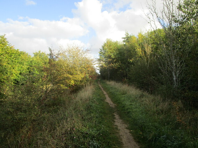
Blackholme Wood is a picturesque woodland located in Nottinghamshire, England. Covering an area of approximately 100 hectares, it is renowned for its natural beauty and rich biodiversity. The wood is situated near the village of Blackholme, and it provides a tranquil escape for nature enthusiasts and walkers alike.
The wood is characterized by a mixture of broadleaf and coniferous trees, including oak, beech, birch, and pine. This diverse range of tree species creates a varied landscape, with sections of dense woodland and open glades. The forest floor is adorned with a carpet of wildflowers and ferns, adding to the enchanting atmosphere of the wood.
Blackholme Wood is home to a wide array of wildlife. Visitors may spot deer, foxes, badgers, and a variety of bird species, including woodpeckers and owls. The wood also supports a diverse range of insect life, with butterflies and dragonflies fluttering through the air during the warmer months.
There are several walking trails that wind their way through the wood, offering visitors the opportunity to explore its beauty at their own pace. These trails vary in length and difficulty, catering to both casual strollers and more avid hikers. Interpretive signs along the paths provide information about the flora and fauna found in the wood, enhancing the educational value of the experience.
Overall, Blackholme Wood is a haven of tranquility and natural beauty. With its stunning scenery, diverse wildlife, and well-maintained trails, it is a must-visit destination for anyone seeking a peaceful retreat in the heart of Nottinghamshire.
If you have any feedback on the listing, please let us know in the comments section below.
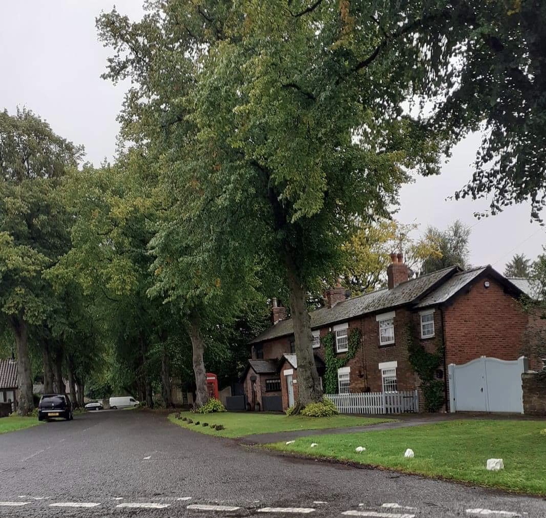
Blackholme Wood Images
Images are sourced within 2km of 53.166155/-1.262501 or Grid Reference SK4963. Thanks to Geograph Open Source API. All images are credited.


Blackholme Wood is located at Grid Ref: SK4963 (Lat: 53.166155, Lng: -1.262501)
Administrative County: Nottinghamshire
District: Ashfield
Police Authority: Nottinghamshire
What 3 Words
///fruit.meals.award. Near Glapwell, Derbyshire
Nearby Locations
Related Wikis
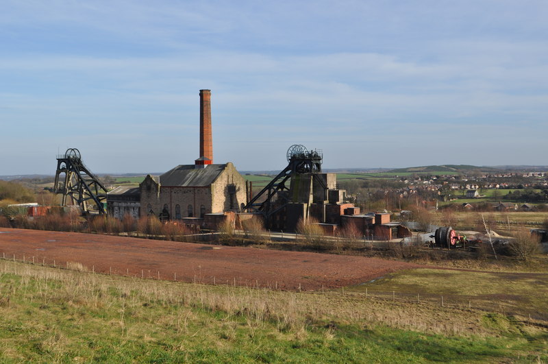
Pleasley Colliery
Pleasley Colliery is a former English coal mine. It is located to the north-west of Pleasley village, which sits above the north bank of the River Meden...
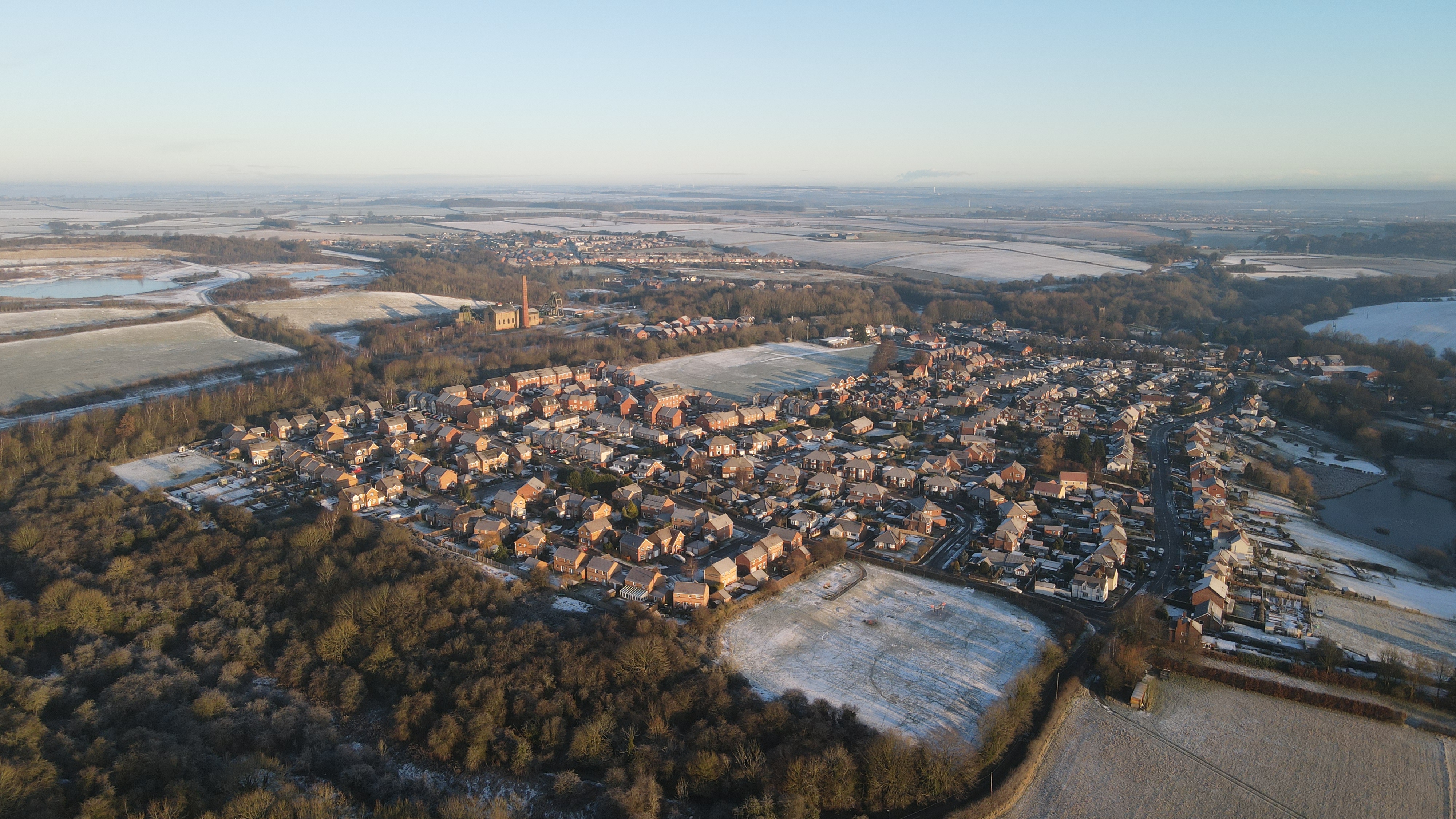
Pleasley
Pleasley is a village and civil parish with parts in both Derbyshire and Nottinghamshire. It lies between Chesterfield and Mansfield, 5 miles (8 km) south...

Pleasley East railway station
Pleasley East is a former railway station in Pleasley, Derbyshire, England on the Nottinghamshire border near Mansfield. == Context == The station was...

Pleasley West railway station
Pleasley West was a railway station on the Doe Lea line in Pleasley, Derbyshire, England on the border of Derbyshire and Nottinghamshire. It opened in...

New Houghton
New Houghton is a former mining village in the Bolsover District of Derbyshire, England, 3 miles (4.8 km) from both Bolsover and Mansfield. == Governance... ==
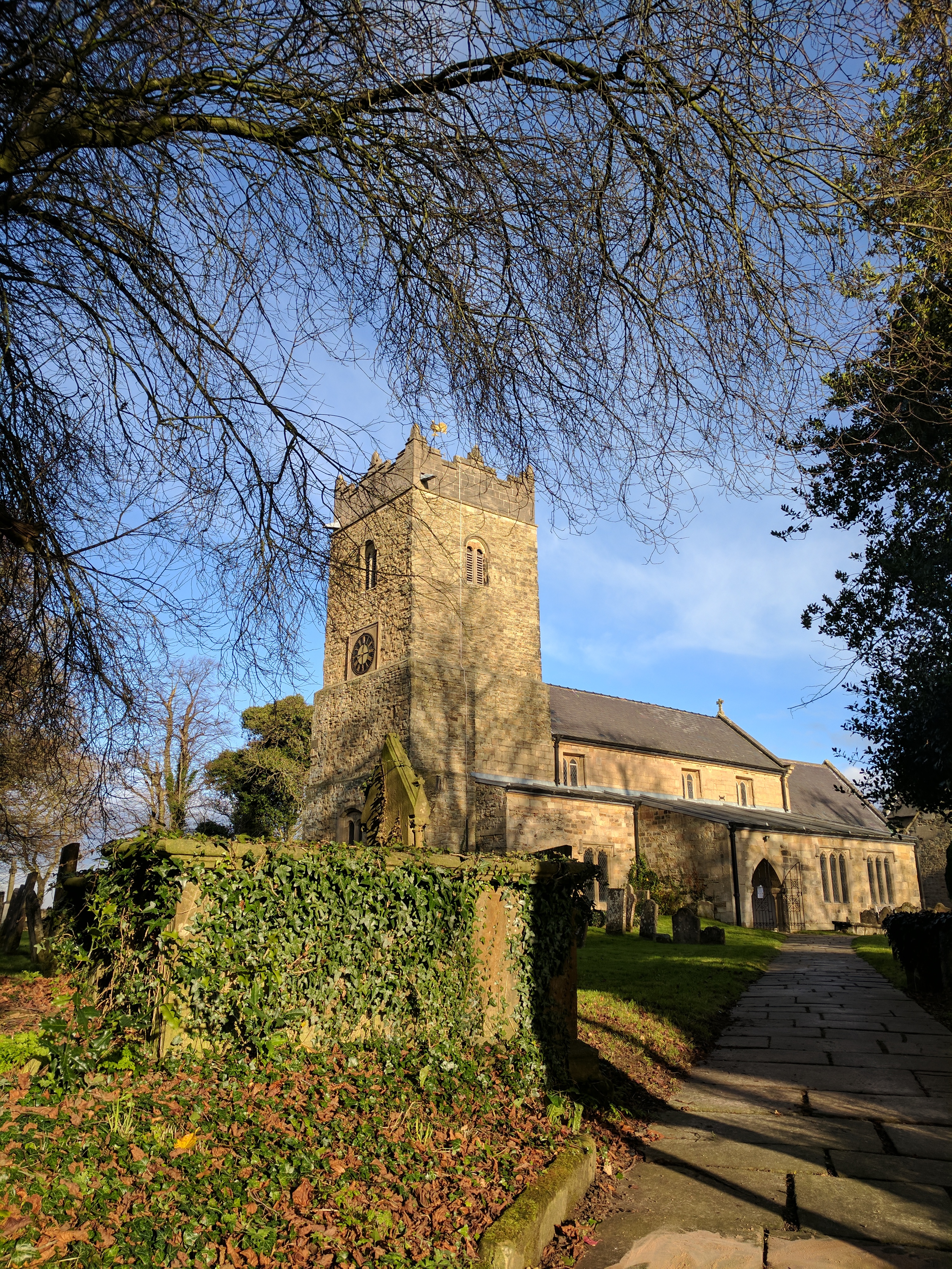
St Katherine's Church, Teversal
The St Katherine's Church is on Buttery Lane, Teversal, Nottinghamshire, England. It is an active Church of England parish church in the deanery of Newstead...
Teversal
Teversal is a village and former civil parish in the Ashfield district of Nottinghamshire, England. It lies north of Sutton-in-Ashfield and 3 miles (5...
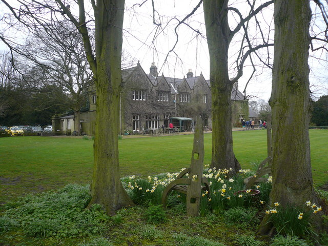
Teversal Manor
Teversal Manor is a small Grade II listed 17th-century country house in Teversal, Nottinghamshire, some 5 km (3 miles) west of Mansfield. The building...
Nearby Amenities
Located within 500m of 53.166155,-1.262501Have you been to Blackholme Wood?
Leave your review of Blackholme Wood below (or comments, questions and feedback).