Brickyard Plantation
Wood, Forest in Nottinghamshire Broxtowe
England
Brickyard Plantation
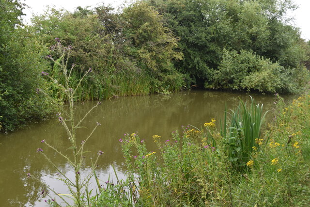
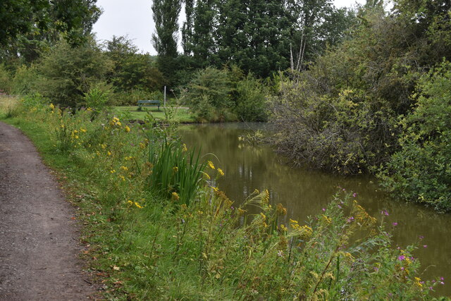
Brickyard Plantation is a charming woodland area located in the county of Nottinghamshire, England. Spread across a vast expanse, it is nestled within the beautiful Sherwood Forest, renowned for its rich history and stunning natural beauty.
The plantation derives its name from the brick-making industry that once thrived in the area, leaving behind remnants of old kilns and clay pits. Today, these remnants serve as a reminder of the area's industrial past and add a unique character to the landscape.
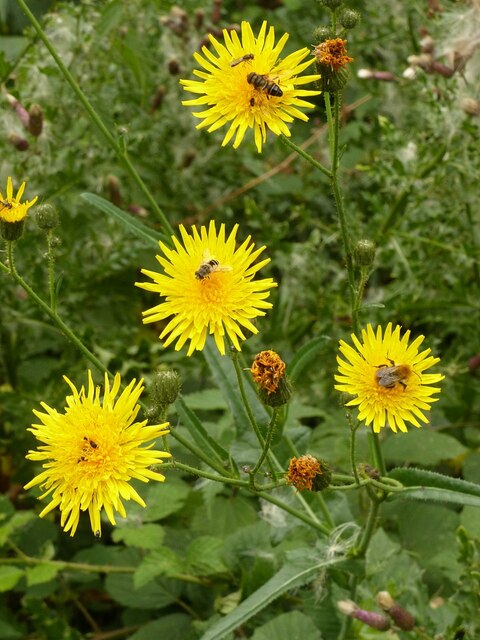
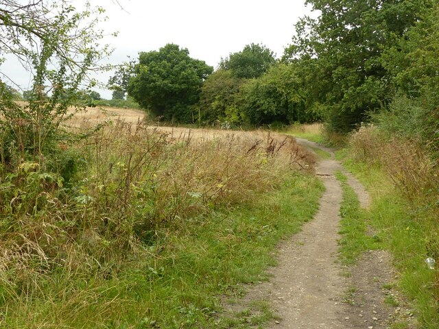
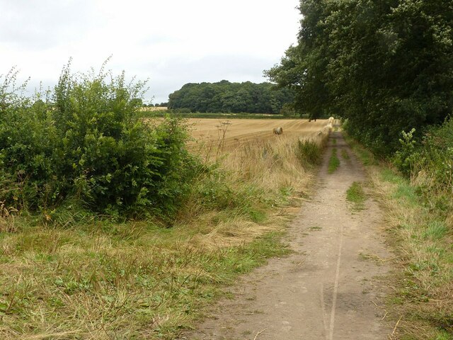
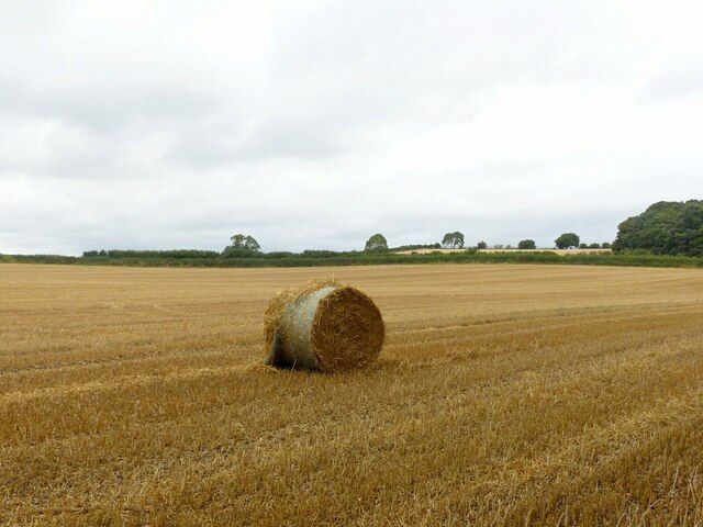
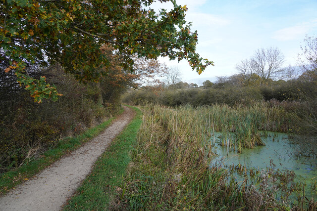
The woodland of Brickyard Plantation is predominantly composed of a mix of deciduous and coniferous trees, creating a diverse and picturesque environment. Towering oak, beech, and birch trees intermingle with majestic pines, providing a habitat for a wide variety of flora and fauna. Visitors can enjoy peaceful walks along well-maintained trails, immersing themselves in the tranquil atmosphere and taking in the natural wonders that surround them.
The plantation is also home to a range of wildlife, including deer, foxes, and various bird species. Nature enthusiasts and birdwatchers can indulge in observing and photographing these creatures in their natural habitat.
Visitors to Brickyard Plantation can partake in a range of recreational activities, such as hiking, cycling, and picnicking. The plantation offers picnic areas with benches and tables, allowing visitors to relax and enjoy the serene surroundings. With its idyllic setting and abundant natural beauty, Brickyard Plantation is a beloved destination for locals and tourists alike, providing a peaceful retreat from the hustle and bustle of everyday life.
If you have any feedback on the listing, please let us know in the comments section below.
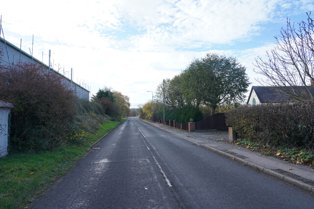
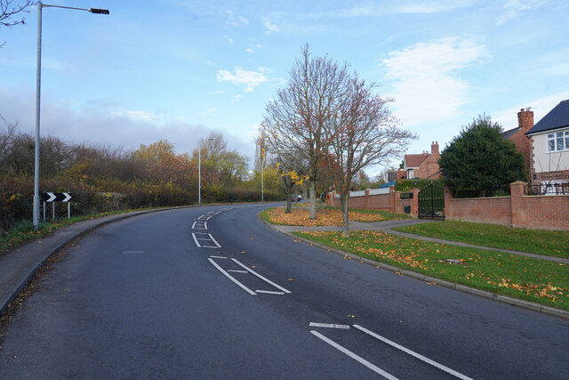
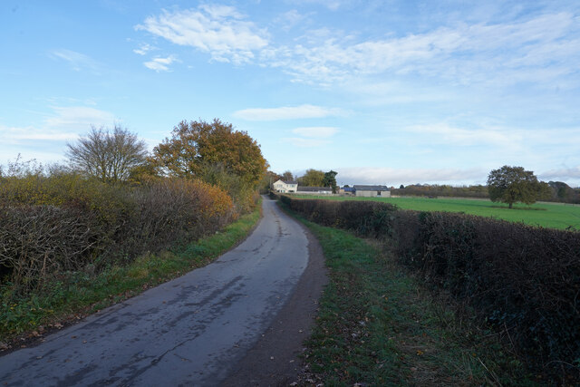
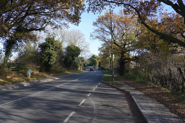
Brickyard Plantation Images
Images are sourced within 2km of 52.972636/-1.2672578 or Grid Reference SK4941. Thanks to Geograph Open Source API. All images are credited.


Brickyard Plantation is located at Grid Ref: SK4941 (Lat: 52.972636, Lng: -1.2672578)
Administrative County: Nottinghamshire
District: Broxtowe
Police Authority: Nottinghamshire
What 3 Words
///fund.wanted.dollar. Near Kimberley, Nottinghamshire
Nearby Locations
Related Wikis

Oldmoor Wood
Oldmoor Wood is a woodland in Nottinghamshire, England, near the village of Strelley. It covers a total area of 15.11 hectares (37.34 acres). It is owned...

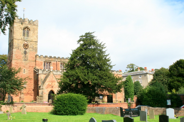
St Catherine's Church, Cossall
St Catherine's Church, Cossall is a Grade II* listed parish church in the Church of England in Cossall, Nottinghamshire, England. == History == The church...

Cossall
Cossall is a village and civil parish 1 mile (1.6 km) east of Ilkeston in Nottinghamshire, England. The 2001 Census recorded a parish population of 612...
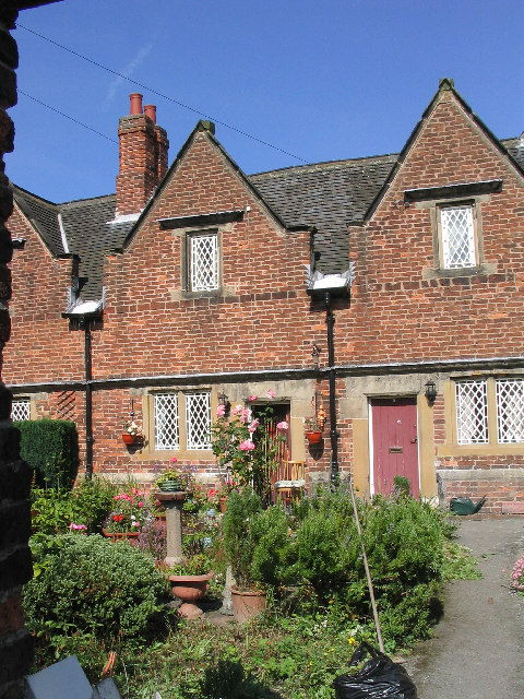
Willoughby Almshouses
The Willoughby Almshouses were erected in 1685 in Cossall, Nottinghamshire, England.These were originally for "4 single poor men over 60 years of age and...

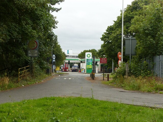
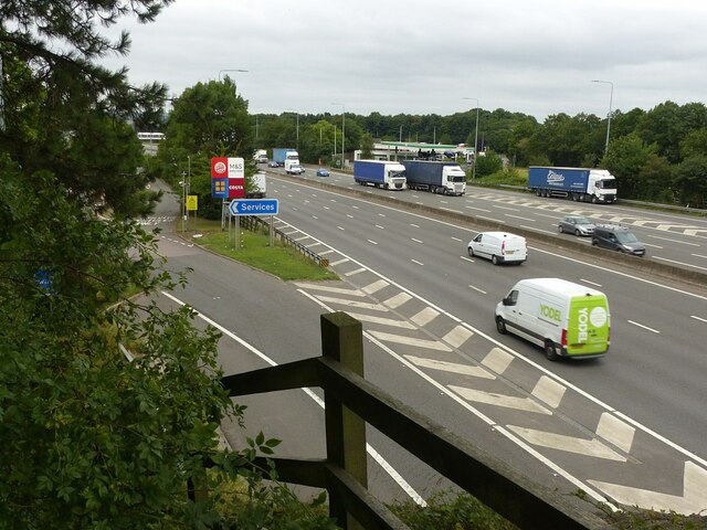
Trowell MSA
Trowell services is a motorway service station off the M1 motorway in Trowell, Nottinghamshire, England, situated north of Junction 25. Opened in 1967...
All Saints' Church, Strelley
All Saints' Church, Strelley is a Grade I listed parish church in the Church of England in Strelley, Nottinghamshire. == History == The church dates from...
Nuthall Temple
Nuthall Temple in Nottinghamshire, one of England's lost houses, was one of five houses built in the United Kingdom generally said to have been inspired...
Strelley Village
Strelley is a village and civil parish in the Borough of Broxtowe and City of Nottingham in Nottinghamshire, England. It is to the west of Nottingham....
Nearby Amenities
Located within 500m of 52.972636,-1.2672578Have you been to Brickyard Plantation?
Leave your review of Brickyard Plantation below (or comments, questions and feedback).