Drigg
Settlement in Cumberland Copeland
England
Drigg
Drigg is a small village located in the county of Cumberland, in the northwestern part of England. Situated on the coast of the Irish Sea, it lies about 4 miles southwest of the town of Seascale. With a population of around 500 inhabitants, it is a close-knit community characterized by its peaceful and picturesque surroundings.
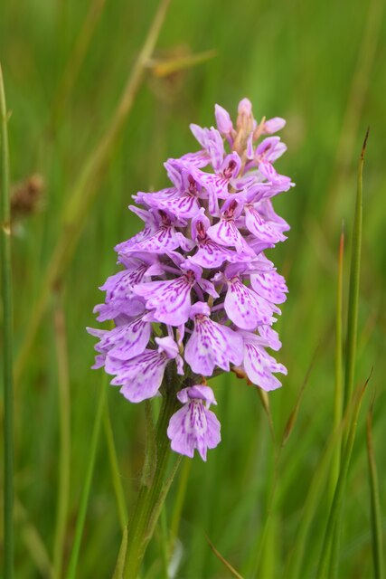
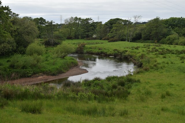
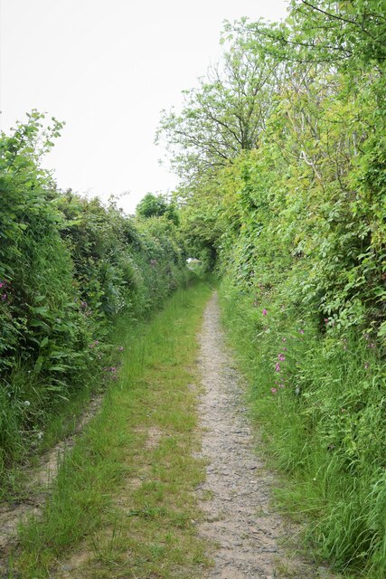
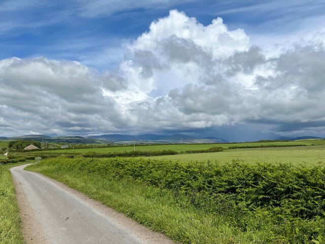
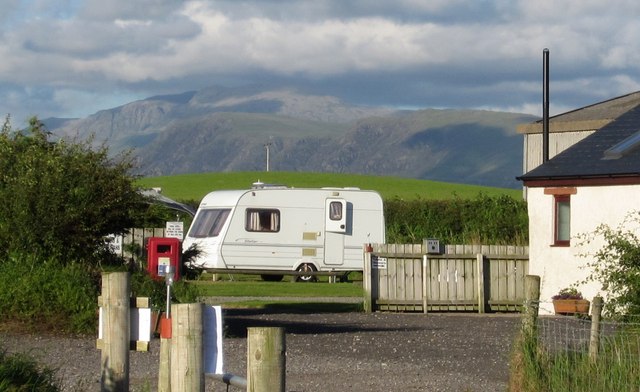
The village of Drigg is known for its stunning natural beauty, with the rugged peaks of the Lake District National Park visible to the east. The area is popular among outdoor enthusiasts, offering opportunities for hiking, cycling, and birdwatching. Drigg Beach, a long stretch of sandy coastline, is a prominent feature of the village. It is a designated Site of Special Scientific Interest due to its diverse range of flora and fauna.
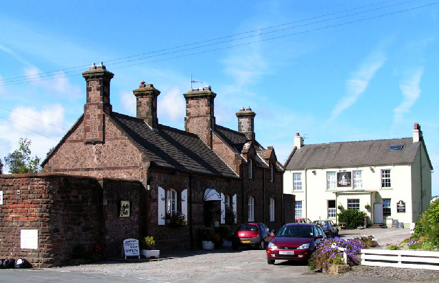
The village itself has a rich history, with evidence of human settlement dating back to the Roman era. Today, Drigg maintains some of its historic charm, with a small number of traditional cottages and farmhouses scattered throughout the area. The village also boasts a number of amenities, including a primary school, a post office, and a local pub.
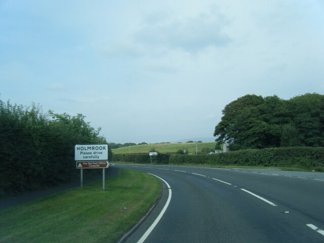
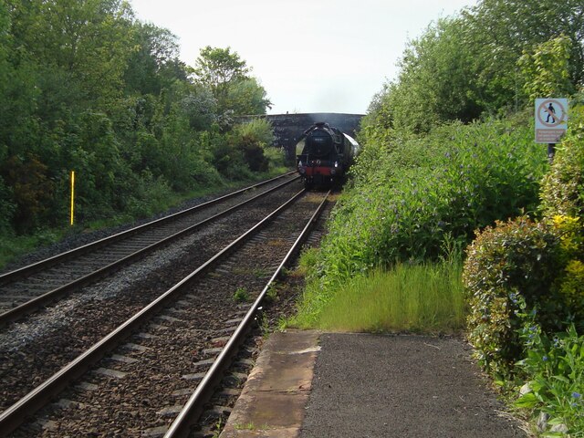
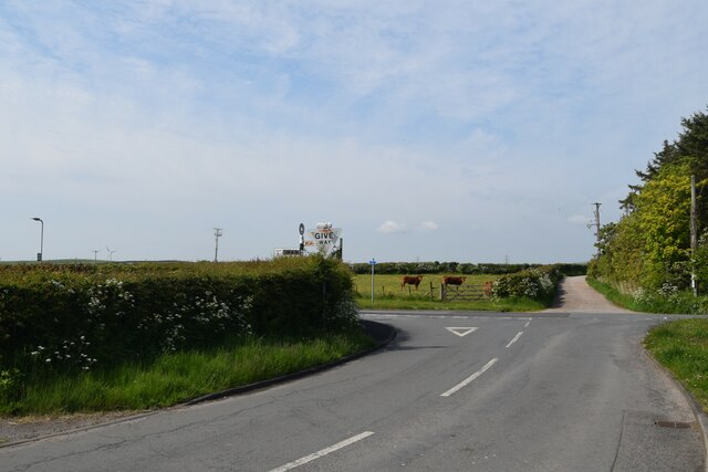
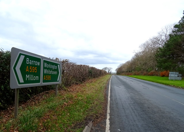
Drigg is well-connected to other parts of Cumbria, with the nearby railway station providing regular services to major towns and cities in the region. The village is also easily accessible by road, with the A595 running through the area.
Overall, Drigg is a tranquil and idyllic village that offers a perfect blend of natural beauty, historical significance, and community spirit.
If you have any feedback on the listing, please let us know in the comments section below.
Drigg Images
Images are sourced within 2km of 54.379652/-3.437224 or Grid Reference SD0699. Thanks to Geograph Open Source API. All images are credited.


Drigg is located at Grid Ref: SD0699 (Lat: 54.379652, Lng: -3.437224)
Administrative County: Cumbria
District: Copeland
Police Authority: Cumbria
What 3 Words
///tungsten.contexts.lift. Near Seascale, Cumbria
Nearby Locations
Related Wikis
Drigg
Drigg is a village situated in the civil parish of Drigg and Carleton on the West Cumbria coast of the Irish Sea and on the boundary of the Lake District...
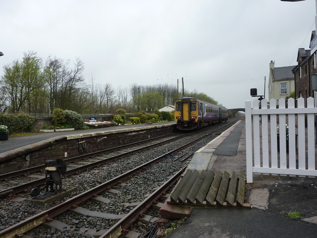
Drigg railway station
Drigg is a railway station on the Cumbrian Coast Line, which runs between Carlisle and Barrow-in-Furness. The station, situated 31 miles (50 km) north...

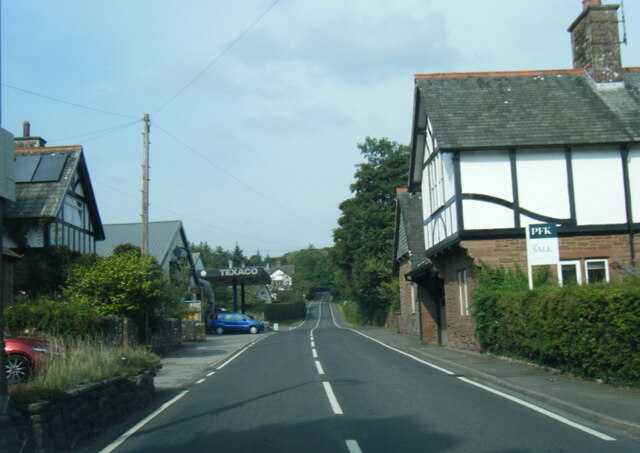
Holmrook
Holmrook is a linear village in the English county of Cumbria. It lies along the A595 road on the west banks of the River Irt. The B5344 road connects...
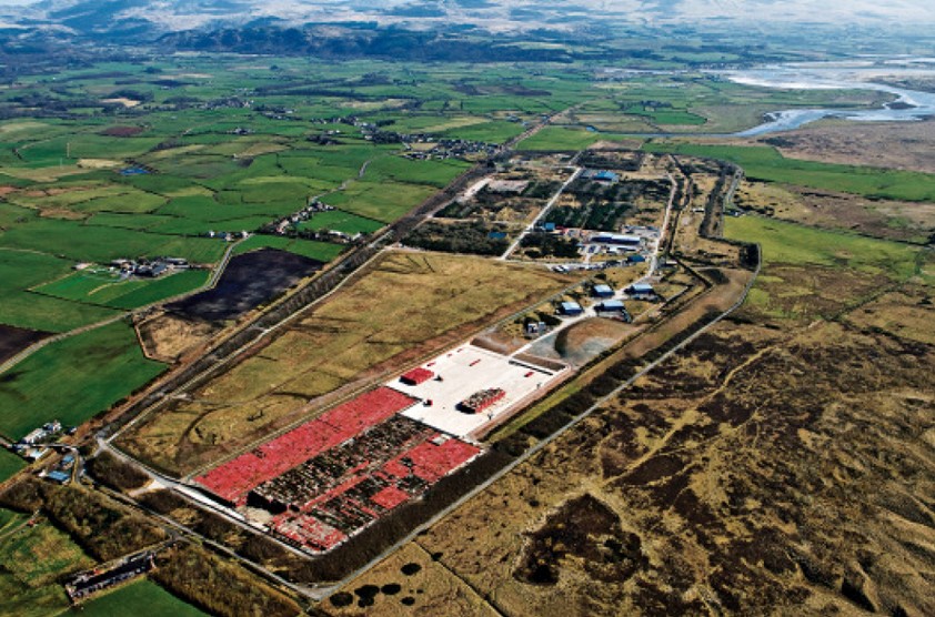
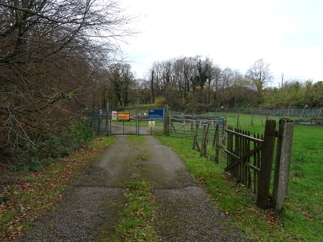
Low Level Waste Repository
The Low Level Waste Repository is the UK's central long-term store for low-level radioactive waste located on the West Cumbrian coast near Drigg village...
Nearby Amenities
Located within 500m of 54.379652,-3.437224Have you been to Drigg?
Leave your review of Drigg below (or comments, questions and feedback).