Basing's Copse

Wood, Forest in Berkshire

England

Basing's Copse

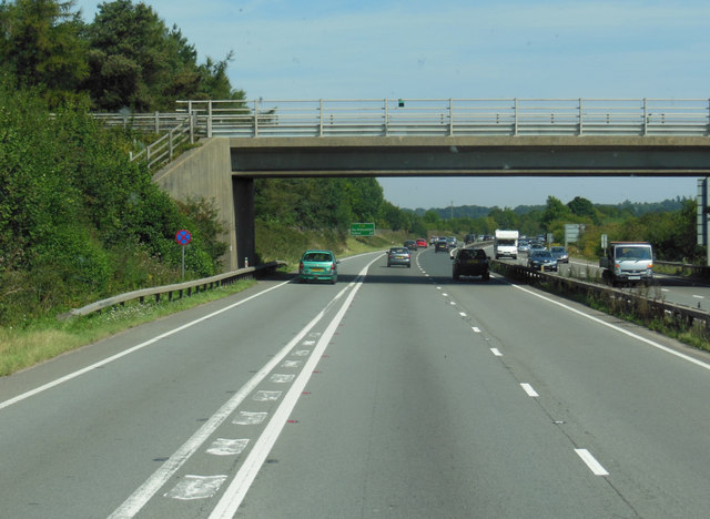
The slip road to Chieveley Services crosses the A34
The slip road to Chieveley Services crosses the A34 Credit: Steve Daniels

Basing's Copse is a charming woodland located in the county of Berkshire, England. Situated near the town of Basingstoke, this copse covers an area of approximately 100 acres and is a haven for nature enthusiasts and outdoor lovers alike.

The copse is predominantly composed of native broadleaf trees such as oak, beech, and birch, which create a dense and lush forest environment. The canopy formed by these trees provides shade and shelter to a diverse range of flora and fauna that call this copse their home.

Walking through Basing's Copse, visitors will be greeted by a serene and tranquil atmosphere. The forest floor is covered in a thick carpet of moss and ferns, while bluebells and wildflowers add splashes of color during the spring and summer months. The air is filled with the sweet scents of woodland flowers, and the melodic songs of birds can be heard throughout the year.

The copse is also home to a variety of wildlife, including deer, foxes, badgers, and a plethora of bird species. It is a popular spot for birdwatching, as visitors may catch a glimpse of woodpeckers, nuthatches, or even the elusive tawny owl.

Basing's Copse offers several well-maintained walking trails, allowing visitors to explore the beauty of the woodland at their own pace. These trails wind through the trees, offering stunning views and the opportunity to spot wildlife along the way.

Overall, Basing's Copse is a picturesque woodland that provides a peaceful escape from the hustle and bustle of everyday life. Its natural beauty and abundant wildlife make it a must-visit destination for nature lovers and those seeking a serene retreat in the heart of Berkshire.

If you have any feedback on the listing, please let us know in the comments section below.

Basing's Copse Images

Images are sourced within 2km of 51.450589/-1.2935559 or Grid Reference SU4972. Thanks to Geograph Open Source API. All images are credited.

The slip road to Chieveley Services crosses the A34
The A34 northbound at the M4 junction
The A34 northbound goes under the M4
The A34 goes under the M4
The A34 northbound at Graces Lane Bridge
The A34 heading north A slip road from the M4 and Chieveley Services crosses the A34.
The A34 heading north
A slip road from the M4 and Chieveley Services crosses the A34.
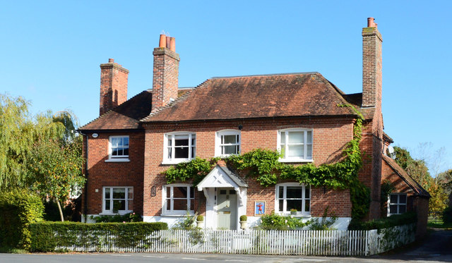
Former public house, Chieveley, Berkshire
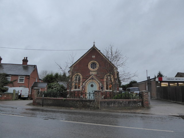
Bethel Chapel, Curridge: late December 2015
Something to do with the tip This is tucked away in a corner of a large waste disposal site. I don't know what it is, but it was making a sort of rumbling noise so it's obviously still working.
Something to do with the tip
This is tucked away in a corner of a large waste disposal site. I don't know what it is, but it was making a sort of rumbling noise so it's obviously still working.
Path around the landfill There is a waste disposal site off to the right here.
The public footpath goes along the boundary.
A groundwater monitoring borehole associated with the site is by the fence on the left of the path.
Path around the landfill
There is a waste disposal site off to the right here. The public footpath goes along the boundary. A groundwater monitoring borehole associated with the site is by the fence on the left of the path.
Basketball Court On a strip of land along Crabtree Lane between Denison Barracks and a housing estate.
Basketball Court
On a strip of land along Crabtree Lane between Denison Barracks and a housing estate.
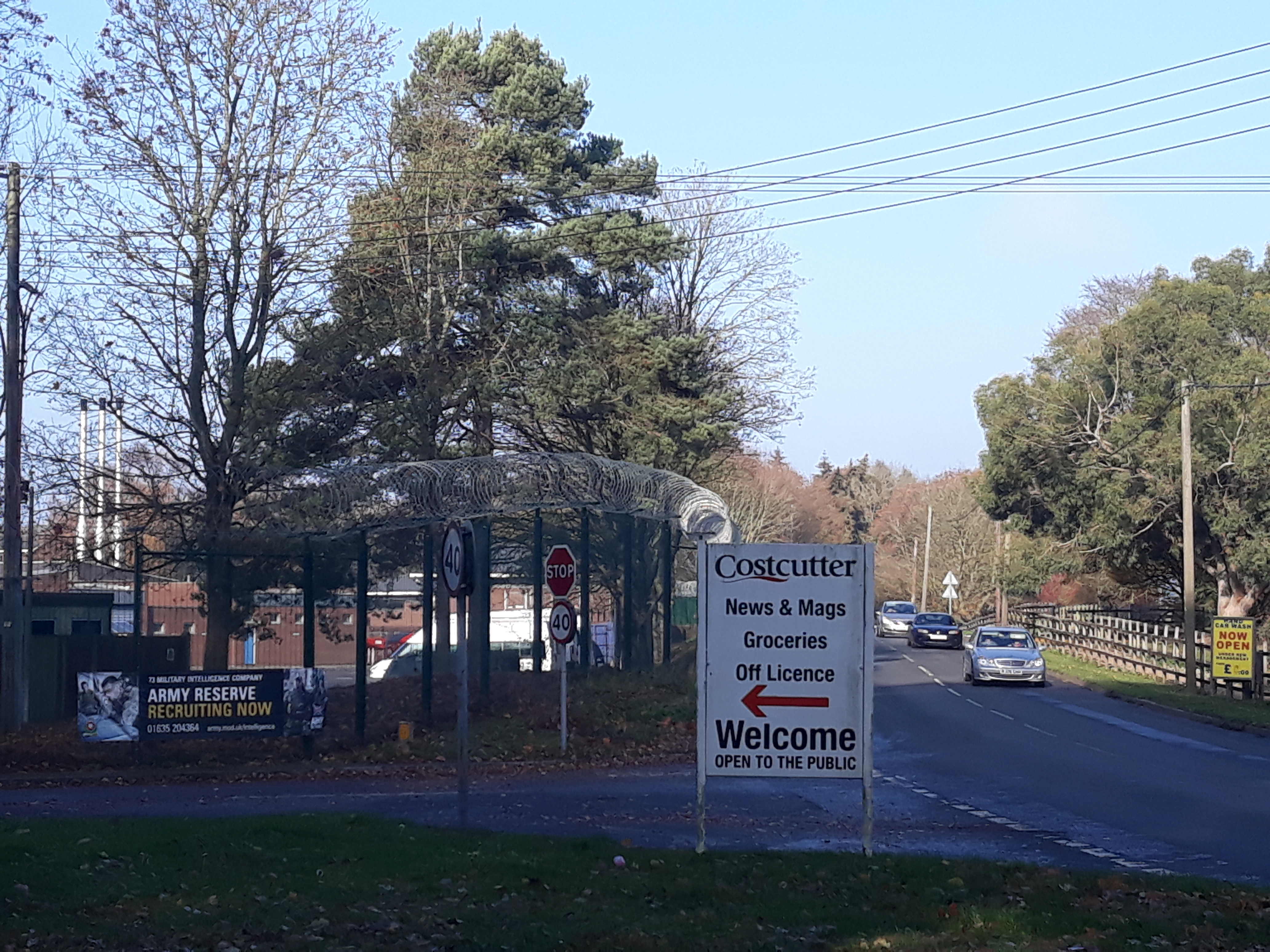
Costcutter Store, Hermitage Last Geographed in 2011 as a Spar market, the local shop here is now a Costcutter.
Costcutter Store, Hermitage
Last Geographed in 2011 as a Spar market, the local shop here is now a Costcutter.
Faircross, Hermitage Part of a housing estate adjacent to Denison Barracks.
Faircross, Hermitage
Part of a housing estate adjacent to Denison Barracks.
Road to Ashfield's Farm
Small Pond on the Showground This is near one of the entrances to the Newbury Showground.
Small Pond on the Showground
This is near one of the entrances to the Newbury Showground.
Priors Court Road Bridge, M4 The M4 is 190 miles long and runs from London to South Wales. Major centres close to the motorway include Reading, Swindon, Bristol, Newport, Cardiff and Swansea. The motorway was constructed between 1961 and 1996. The M4 originally crossed the first Severn Road Bridge. It has now been diverted to use the Second Severn Crossing and the motorway over the older bridge has been renumbered as M48.
Wikipedia: <span class="nowrap"><a title="http://en.wikipedia.org/wiki/M4_motorway" rel="nofollow ugc noopener" href="http://en.wikipedia.org/wiki/M4_motorway">Link</a><img style="margin-left:2px;" alt="External link" title="External link - shift click to open in new window" src="https://s1.geograph.org.uk/img/external.png" width="10" height="10"/></span>
Priors Court Road Bridge, M4
The M4 is 190 miles long and runs from London to South Wales. Major centres close to the motorway include Reading, Swindon, Bristol, Newport, Cardiff and Swansea. The motorway was constructed between 1961 and 1996. The M4 originally crossed the first Severn Road Bridge. It has now been diverted to use the Second Severn Crossing and the motorway over the older bridge has been renumbered as M48. Wikipedia: LinkExternal link
Joining the A34, southbound The A34 is a 200 mile long major trunk road that runs from Salford to Winchester via The Potteries, Birmingham and Oxford. It is divided into two sections <span class="nowrap"><a title="http://www.sabre-roads.org.uk/wiki/index.php?title=A34" rel="nofollow ugc noopener" href="http://www.sabre-roads.org.uk/wiki/index.php?title=A34">Link</a><img style="margin-left:2px;" alt="External link" title="External link - shift click to open in new window" src="https://s1.geograph.org.uk/img/external.png" width="10" height="10"/></span> 
Wikipedia: <span class="nowrap"><a title="http://en.wikipedia.org/wiki/A34_road" rel="nofollow ugc noopener" href="http://en.wikipedia.org/wiki/A34_road">Link</a><img style="margin-left:2px;" alt="External link" title="External link - shift click to open in new window" src="https://s1.geograph.org.uk/img/external.png" width="10" height="10"/></span>
Joining the A34, southbound
The A34 is a 200 mile long major trunk road that runs from Salford to Winchester via The Potteries, Birmingham and Oxford. It is divided into two sections LinkExternal link Wikipedia: LinkExternal link
Curridge Village Hall
Show me another place!

Basing's Copse is located at Grid Ref: SU4972 (Lat: 51.450589, Lng: -1.2935559)

Unitary Authority: West Berkshire

Police Authority: Thames Valley

What 3 Words

///stage.halt.pacifist. Near Hermitage, Berkshire

Related Wikis

Royal School of Military Survey

Royal School of Military Survey (DCI RSMS) is a joint services survey training facility associated with the Corps of Royal Engineers (RE) but attached...

Curridge

Curridge is a village in the civil parish of Chieveley in the English county of Berkshire. == Geography == Curridge is located in the south-east of the...

Denison Barracks

Denison Barracks is a British Army installation at Hermitage in Berkshire, England. == History == The site was used as an American military hospital during...

Hermitage, Berkshire

Hermitage is a village and civil parish, near Newbury, in the English county of Berkshire. The civil parish is made up of a number of settlements: Hermitage...

Chieveley services

Chieveley services is a UK motorway service station just off the M4 motorway at Chieveley near Newbury in Berkshire, England. It is owned by Moto. It is...

Hermitage railway station

Hermitage railway station was a railway station on the Didcot, Newbury and Southampton Railway which served the villages of Hermitage and Oare in Berkshire...

Cold Ash Quarry

Cold Ash Quarry is a 0.4-hectare (0.99-acre) geological Site of Special Scientific Interest north of Newbury in Berkshire. It is a Geological Conservation...

Grimsbury Castle

Grimsbury Castle is an Iron Age "multiple enclosure" Hill Fort comprising a large circular encampment situated on a high hill. It is situated within Grimsbury...

Nearby Amenities

Located within 500m of 51.450589,-1.2935559
Barrier: stile
Stile: stepover
Lat/Long: 51.4465648/-1.2930255
The data included in this document is from www.openstreetmap.org. The data is made available under ODbL.

Have you been to Basing's Copse?

Leave your review of Basing's Copse below (or comments, questions and feedback).