William Wood
Wood, Forest in Nottinghamshire Ashfield
England
William Wood
William Wood is a picturesque village located in the county of Nottinghamshire, England. Situated in the heart of Sherwood Forest, it is often referred to as Wood or Wood, Forest by locals. The village is rich in history, with its origins dating back to medieval times.
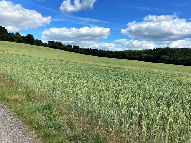
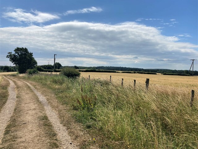
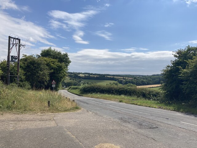
One of the defining features of William Wood is its natural surroundings. Surrounded by lush greenery, the village is known for its dense woodland and scenic countryside. It offers a tranquil and idyllic setting, making it a popular destination for nature lovers and outdoor enthusiasts.
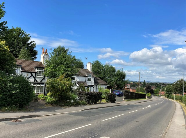
The village itself is small and charming, with a close-knit community. It has a handful of traditional cottages and houses, some of which date back several centuries. The main focal point of the village is the historic St. Mary's Church, which stands as a testament to the village's long-standing heritage.
Residents of William Wood enjoy a peaceful and relaxed way of life. The village is home to a small number of local businesses, including a cozy pub and a few shops catering to everyday needs. For more extensive amenities, residents can easily access nearby towns and cities.
One of the village's main attractions is its proximity to Sherwood Forest, known for its association with the legendary figure of Robin Hood. Visitors can explore the forest's many trails and landmarks, including the famous Major Oak, a gigantic oak tree believed to be over 800 years old.
In summary, William Wood, Nottinghamshire is a charming village nestled in the heart of Sherwood Forest. It offers a tranquil and scenic environment, rich in history and natural beauty. Whether seeking a peaceful retreat or a taste of English countryside living, William Wood provides an enchanting escape.
If you have any feedback on the listing, please let us know in the comments section below.
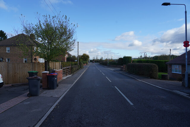
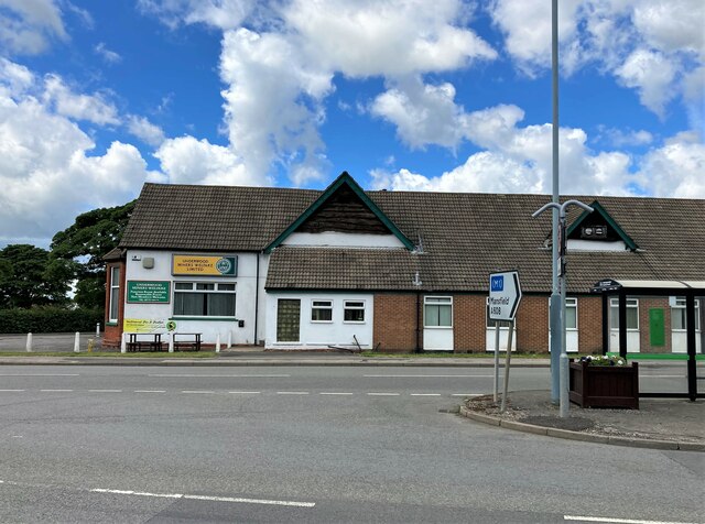
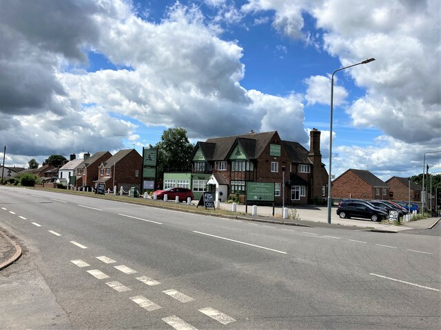
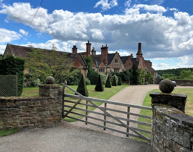
William Wood Images
Images are sourced within 2km of 53.057733/-1.2693217 or Grid Reference SK4951. Thanks to Geograph Open Source API. All images are credited.


William Wood is located at Grid Ref: SK4951 (Lat: 53.057733, Lng: -1.2693217)
Administrative County: Nottinghamshire
District: Ashfield
Police Authority: Nottinghamshire
What 3 Words
///linen.free.spoon. Near Pinxton, Derbyshire
Nearby Locations
Related Wikis

Felley
Felley is a civil parish in the Ashfield district, in Nottinghamshire, England, located between Hucknall and Sutton-in-Ashfield. According to the 2001...
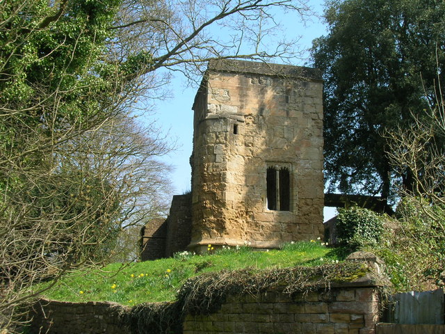
Felley Priory
Felley Priory is a 16th century house with gardens located in the village of Felley, Nottinghamshire, UK. It is situated on the grounds of a former priory...
Annesley Woodhouse
Annesley Woodhouse is a village in Nottinghamshire, England, located approximately 10 miles north of the City of Nottingham and 6 miles south of Mansfield...
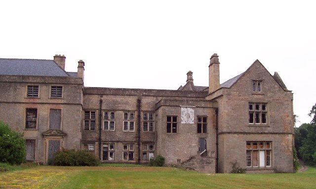
Annesley Hall, Nottinghamshire
Annesley Hall is a Grade II listed country house near Annesley in Nottinghamshire, England and the ancestral home of the Chaworth-Musters family. The 13th...
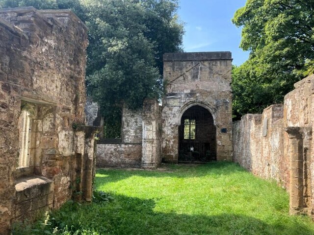
Annesley Old Church
Annesley Old Church or the Church of All Saints, Annesley Park, is a disused church in a ruinous condition which stands on a mound near to Annesley Hall...

Underwood, Nottinghamshire
Underwood is a hilltop village within the civil parish of Selston in the English ceremonial county of Nottinghamshire. The village is a ward of Ashfield...
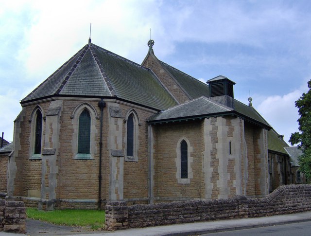
Church of St Michael and All Angels, Underwood
The Church of St Michael and All Angels, Underwood is a parish church in the Church of England in Underwood, Nottinghamshire. The church is Grade II listed...
Ashfield District
Ashfield () is a local government district in Nottinghamshire, England. The population of Ashfield was 127,200 in 2018. The district is mostly urban...
Nearby Amenities
Located within 500m of 53.057733,-1.2693217Have you been to William Wood?
Leave your review of William Wood below (or comments, questions and feedback).