Yate's Copse

Wood, Forest in Berkshire

England

Yate's Copse

Passing by the road View up towards where the old Didcot,Newbury and Southampton went near Craven Farm
Passing by the road Credit: Bill Nicholls

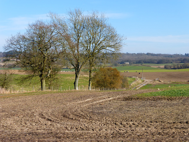
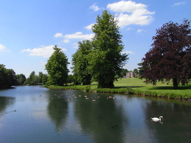
Yate's Copse is a picturesque woodland area located in Berkshire, England. Covering an area of approximately 100 acres, this enchanting forest is a popular destination for nature enthusiasts and outdoor enthusiasts alike.

The copse features a diverse range of tree species, including oak, beech, and birch, which create a vibrant and colorful canopy throughout the year. The forest floor is adorned with a rich carpet of wildflowers, ferns, and mosses, providing a haven for a variety of wildlife.

Tranquil walking trails wind their way through Yate's Copse, offering visitors the opportunity to immerse themselves in nature and explore the beauty of the woodland. These pathways are well-maintained and suitable for walkers of all abilities, making it an ideal spot for a leisurely stroll or a more challenging hike.

Birdwatchers will be delighted by the copse's avian inhabitants, as it is home to a wide range of bird species. From woodpeckers to owls, visitors may catch a glimpse of these feathered creatures as they flit among the treetops or perch on branches.

Yate's Copse is also known for its rich history, with evidence of human habitation dating back centuries. Ruins of ancient buildings and remnants of old pathways can still be seen, adding an intriguing historical dimension to the woodland.

Overall, Yate's Copse offers a serene and idyllic setting for those seeking a peaceful retreat in nature. Whether it's for a leisurely walk, birdwatching, or simply enjoying the tranquility of the forest, this woodland gem in Berkshire is sure to captivate visitors with its natural beauty and rich biodiversity.

If you have any feedback on the listing, please let us know in the comments section below.
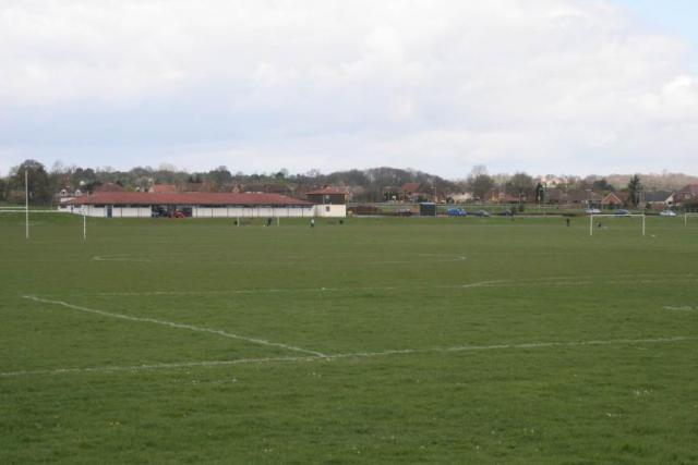
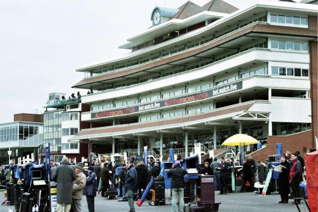
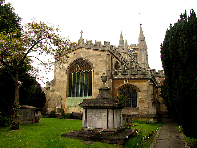
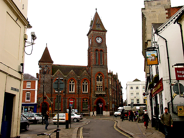
Yate's Copse Images

Images are sourced within 2km of 51.41315/-1.2969799 or Grid Reference SU4868. Thanks to Geograph Open Source API. All images are credited.

Passing by the road View up towards where the old Didcot,Newbury and Southampton went near Craven Farm
Passing by the road
View up towards where the old Didcot,Newbury and Southampton went near Craven Farm
Along the line View along the old Didcot, Newbury and Southampton Railway near Craven Farm. The railway has almost been erased in farmland just past the trees to the left.
Along the line
View along the old Didcot, Newbury and Southampton Railway near Craven Farm. The railway has almost been erased in farmland just past the trees to the left.
Hedge by the road Here you can see that the old Didcot to Newbury railway (on the right) ran not far from the B4009.
Hedge by the road
Here you can see that the old Didcot to Newbury railway (on the right) ran not far from the B4009.
Farmland, Shaw A mixed farming landscape viewed from the bridleway near Grange Farm. A crop of oil-seed rape is in the foreground.
Farmland, Shaw
A mixed farming landscape viewed from the bridleway near Grange Farm. A crop of oil-seed rape is in the foreground.
Grange Farm fields Fields off the road to Grange Farm.
Grange Farm fields
Fields off the road to Grange Farm.
Grange Farm fields Farmed fields beside the access road to Grange Farm.
Grange Farm fields
Farmed fields beside the access road to Grange Farm.
Angel's Hill between Newbury and Hermitage This view of Angel's Hill in the south western section of the square, was taken from the B4009 looking more or less north west. The square is all farmland. The dismantled railway noted on the map is easy to see or access as there is no footpath in the vicinity.
Angel's Hill between Newbury and Hermitage
This view of Angel's Hill in the south western section of the square, was taken from the B4009 looking more or less north west. The square is all farmland. The dismantled railway noted on the map is easy to see or access as there is no footpath in the vicinity.
Pasture, Curridge The hillside on the approach to Red Farm with the bridleway to the left.
Pasture, Curridge
The hillside on the approach to Red Farm with the bridleway to the left.
Farmland, Curridge The view from an area of rougher ground across pasture and a small part of an arable field below a wooded hillside.
Farmland, Curridge
The view from an area of rougher ground across pasture and a small part of an arable field below a wooded hillside.
Newbury A view looking west along the Kennet and Avon Canal.
Newbury
A view looking west along the Kennet and Avon Canal.
Newbury One of the many reclaimed gravel pits in this square. This one is used by the Newbury Angling Club.
Newbury
One of the many reclaimed gravel pits in this square. This one is used by the Newbury Angling Club.
Newbury A listed building of special historic and architectural importance - now offices!
Newbury
A listed building of special historic and architectural importance - now offices!
Thatcham Henwick Field sports ground beside the A4. A favourite spot for local kite flyers.
Thatcham
Henwick Field sports ground beside the A4. A favourite spot for local kite flyers.
Newbury Racecourse The Berkshire Stand on a racing Saturday
Newbury Racecourse
The Berkshire Stand on a racing Saturday
Newbury: New Vodafone Headquarters This HQ is situated in the north western section of the grid square and the picture was taken from the west side of the building. Most of this square is residential with some farmland and some commercial activity.
Newbury: New Vodafone Headquarters
This HQ is situated in the north western section of the grid square and the picture was taken from the west side of the building. Most of this square is residential with some farmland and some commercial activity.
St Nicholas: Church in Newbury Town Centre This church is to be seen in the extreme south west corner of the grid square. The picture was taken from the east side of the building, looking west.
St Nicholas: Church in Newbury Town Centre
This church is to be seen in the extreme south west corner of the grid square. The picture was taken from the east side of the building, looking west.
Newbury Town Hall The town council building is situated east of the church in the south west corner of the grid square. The open space in front of it holds the market which occurs during the week and on Saturdays.
Newbury Town Hall
The town council building is situated east of the church in the south west corner of the grid square. The open space in front of it holds the market which occurs during the week and on Saturdays.
HSBC Bank Building: Newbury This building situated north east of the church and north west from the Town Council Building is situated in the south western section of the grid square.
HSBC Bank Building: Newbury
This building situated north east of the church and north west from the Town Council Building is situated in the south western section of the grid square.
Show me another place!

Yate's Copse is located at Grid Ref: SU4868 (Lat: 51.41315, Lng: -1.2969799)

Unitary Authority: West Berkshire

Police Authority: Thames Valley

What 3 Words

///hungry.images.leads. Near Newbury, Berkshire

Related Wikis

West Berkshire Community Hospital

West Berkshire Community Hospital is a small hospital located in the Benham Hill area of Newbury, in West Berkshire, England. It is managed by Berkshire...

Benham Hill

Benham Hill is a hill and small settlement in the Shaw portion of the civil parish of Shaw-cum-Donnington in the English county of Berkshire, between...

River Lambourn

The River Lambourn is a chalk stream in the English county of Berkshire. It rises in the Berkshire Downs near its namesake village of Lambourn and is a...

Shaw-cum-Donnington

Shaw-cum-Donnington is a civil parish in West Berkshire, England with all of its urban or suburban area immediately north of the largest town in the district...

Nearby Amenities

Located within 500m of 51.41315,-1.2969799
Barrier: bollard
Lat/Long: 51.4102705/-1.2993203
Man Made: mast
Lat/Long: 51.4146732/-1.2904015
Barrier: height_restrictor
Lat/Long: 51.4112283/-1.3026753
Man Made: tower
Material: steel
Tower Construction: lattice
Lat/Long: 51.4146515/-1.2903655
The data included in this document is from www.openstreetmap.org. The data is made available under ODbL.

Have you been to Yate's Copse?

Leave your review of Yate's Copse below (or comments, questions and feedback).