Crabtree Wood
Wood, Forest in Derbyshire Bolsover
England
Crabtree Wood

Crabtree Wood is a charming woodland located in Derbyshire, England. Situated near the town of Belper, this forested area covers approximately 100 acres of land. It is known for its picturesque landscapes, diverse flora and fauna, and tranquil atmosphere.
The woodland is predominantly composed of deciduous trees such as oak, birch, and ash, which create a beautiful canopy overhead. The forest floor is covered with a lush carpet of ferns, bluebells, and wildflowers, providing a vibrant burst of colors during the spring and summer months.
Crabtree Wood is home to a variety of wildlife species, including small mammals like foxes, badgers, and squirrels, as well as a rich bird population. Birdwatchers can spot species such as woodpeckers, owls, and warblers nestled among the treetops.
The woodland offers a network of well-maintained footpaths, making it ideal for nature walks and hiking enthusiasts. There are also designated picnic areas, allowing visitors to enjoy a peaceful lunch amidst the natural surroundings. Additionally, the wood is a popular spot for photography and nature enthusiasts, offering stunning vistas and opportunities to capture the beauty of the changing seasons.
Crabtree Wood is easily accessible, with ample parking available nearby. It is managed by the local council, ensuring the preservation of its natural beauty and protecting it as an important habitat for wildlife. Whether you are seeking a peaceful stroll, a family picnic, or a chance to immerse yourself in nature, Crabtree Wood is a delightful destination for all.
If you have any feedback on the listing, please let us know in the comments section below.
Crabtree Wood Images
Images are sourced within 2km of 53.304123/-1.2677199 or Grid Reference SK4878. Thanks to Geograph Open Source API. All images are credited.


Crabtree Wood is located at Grid Ref: SK4878 (Lat: 53.304123, Lng: -1.2677199)
Administrative County: Derbyshire
District: Bolsover
Police Authority: Derbyshire
What 3 Words
///recliner.decisions.gazed. Near Harthill, South Yorkshire
Related Wikis

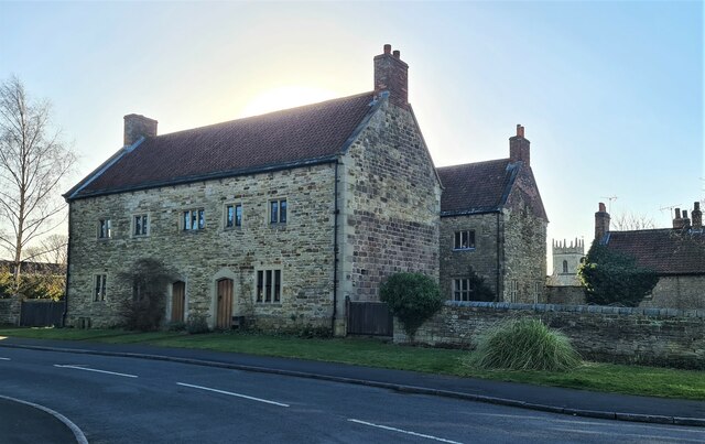
Barlborough Hall
Barlborough Hall is a Grade I listed 16th-century country house in Barlborough, Chesterfield, Derbyshire. It was built in around 1583-84 for Sir Francis...
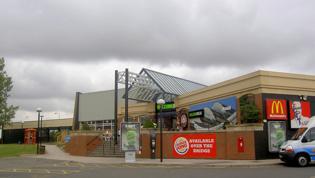
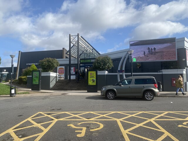
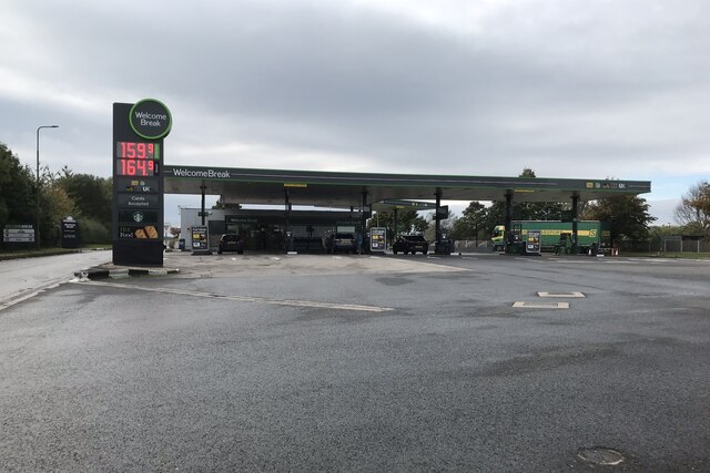
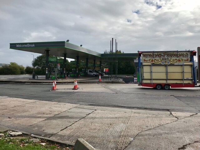
Woodall MSA
Woodall services is a motorway service station on the M1 motorway in Rotherham close to Sheffield in England. It lies between junctions 30 and 31. It was...

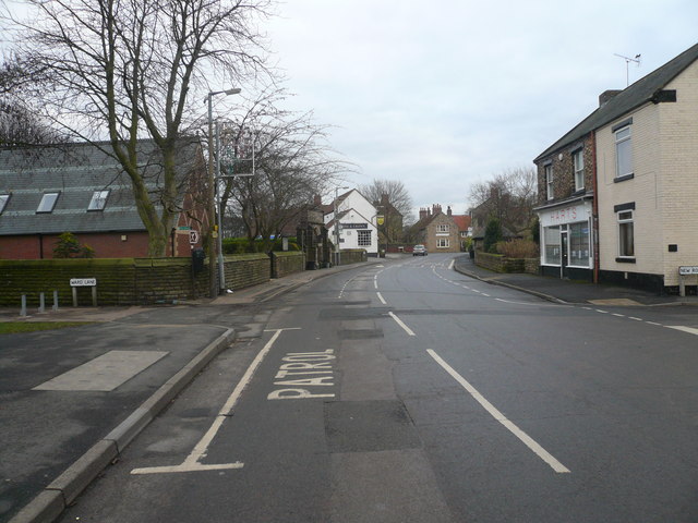
Harthill, South Yorkshire
Harthill is a village in the Metropolitan Borough of Rotherham (part of South Yorkshire, England), on the border with Derbyshire. It lies between Killamarsh...

Woodall, South Yorkshire
Woodall is a small hamlet in the civil parish of Harthill with Woodall situated in the Metropolitan Borough of Rotherham, South Yorkshire England. In the...
All Hallows' Church, Harthill
The All Hallows Church is an Anglican parish church in the Diocese of Sheffield, located in Harthill, South Yorkshire, England. It is a Grade I listed...
Barlborough
Barlborough is a village and civil parish in the Bolsover district of Derbyshire, England. According to the 2001 census it had a population of 3,018,...

New Barlborough
New Barlborough is an area of Barlborough village, Bolsover, Derbyshire, England, consisting of several housing estates and a single row of houses along...

Whitwell Common
Whitwell Common is a village, in Bolsover District, Derbyshire, lying just North-West of Whitwell, straddling the A619, which runs between Chesterfield...
Nearby Amenities
Located within 500m of 53.304123,-1.2677199Have you been to Crabtree Wood?
Leave your review of Crabtree Wood below (or comments, questions and feedback).