Wildern Nature Park
Wood, Forest in Hampshire Eastleigh
England
Wildern Nature Park
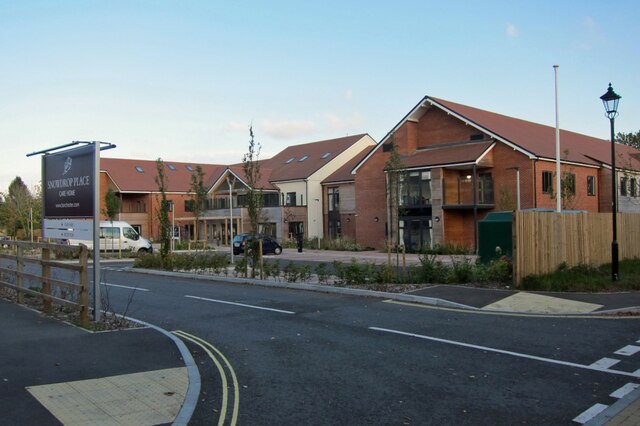
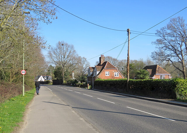
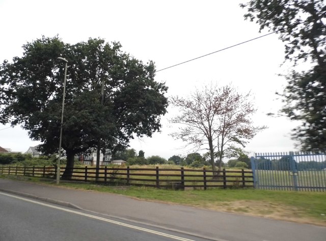
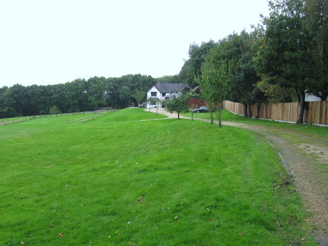
Wildern Nature Park is a picturesque woodland area located in Hampshire, England. Covering an expansive area of approximately 50 hectares, it offers visitors a tranquil and immersive experience in nature. The park is situated on the outskirts of Hedge End, a small town in the borough of Eastleigh.
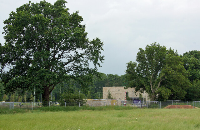
The park is predominantly composed of mixed woodland, featuring a diverse range of tree species such as oak, beech, and birch. This creates a rich and varied habitat for numerous wildlife species, including birds, mammals, and insects. Nature enthusiasts can enjoy exploring the network of well-maintained footpaths that wind their way through the park, providing opportunities for peaceful walks and birdwatching.
Wildern Nature Park also boasts a small pond and wetland area, which serves as a crucial habitat for amphibians and aquatic plants. This adds to the biodiversity of the park and provides visitors with the chance to observe a different array of wildlife.
The park is open to the public year-round and is a popular destination for families, dog walkers, and nature lovers. It offers a peaceful retreat from the bustle of everyday life, allowing visitors to reconnect with nature and enjoy the beauty of the Hampshire countryside.
Overall, Wildern Nature Park is a hidden gem in Hampshire, offering a haven for wildlife and a tranquil escape for visitors seeking a peaceful natural environment.
If you have any feedback on the listing, please let us know in the comments section below.
Wildern Nature Park Images
Images are sourced within 2km of 50.916575/-1.3069753 or Grid Reference SU4813. Thanks to Geograph Open Source API. All images are credited.


Wildern Nature Park is located at Grid Ref: SU4813 (Lat: 50.916575, Lng: -1.3069753)
Administrative County: Hampshire
District: Eastleigh
Police Authority: Hampshire
What 3 Words
///hills.latest.ahead. Near Hedge End, Hampshire
Nearby Locations
Related Wikis

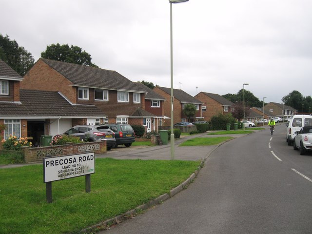
Hedge End
Hedge End is a town and civil parish in Hampshire, England. Situated to the east of the City of Southampton, it adjoins the districts of West End and Botley...

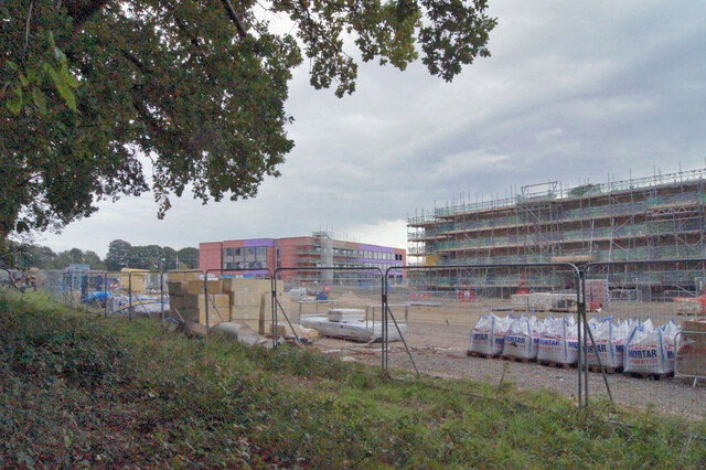
Wildern School
Wildern School is an 11–16 mixed secondary school with academy status in Hedge End, Hampshire, England. It was formerly a foundation school that was established...
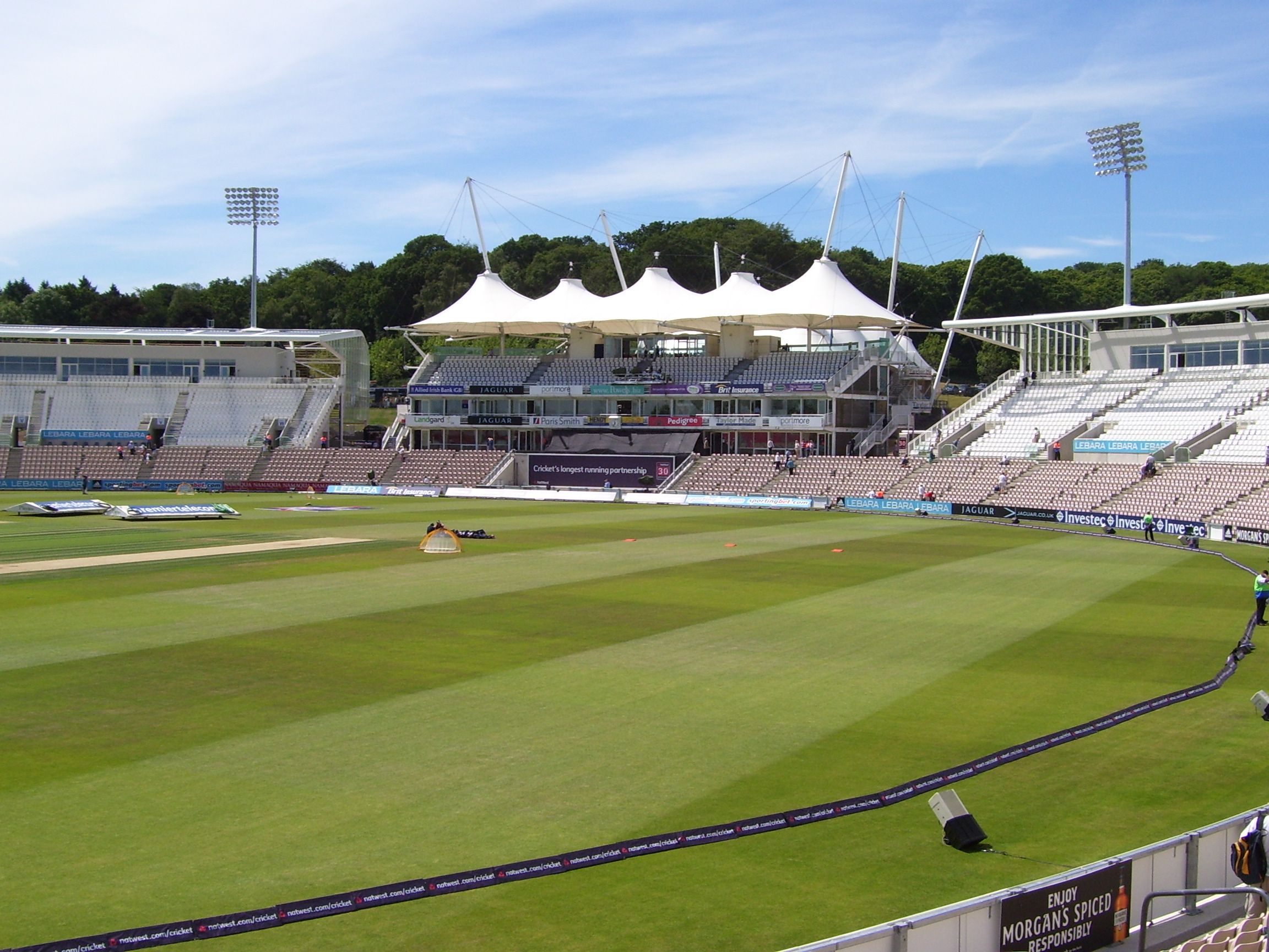
Rose Bowl (cricket ground)
The Rose Bowl, known for sponsorship reasons as Ageas Bowl is a cricket ground and hotel complex in West End, Hampshire. It is the home of Hampshire County...
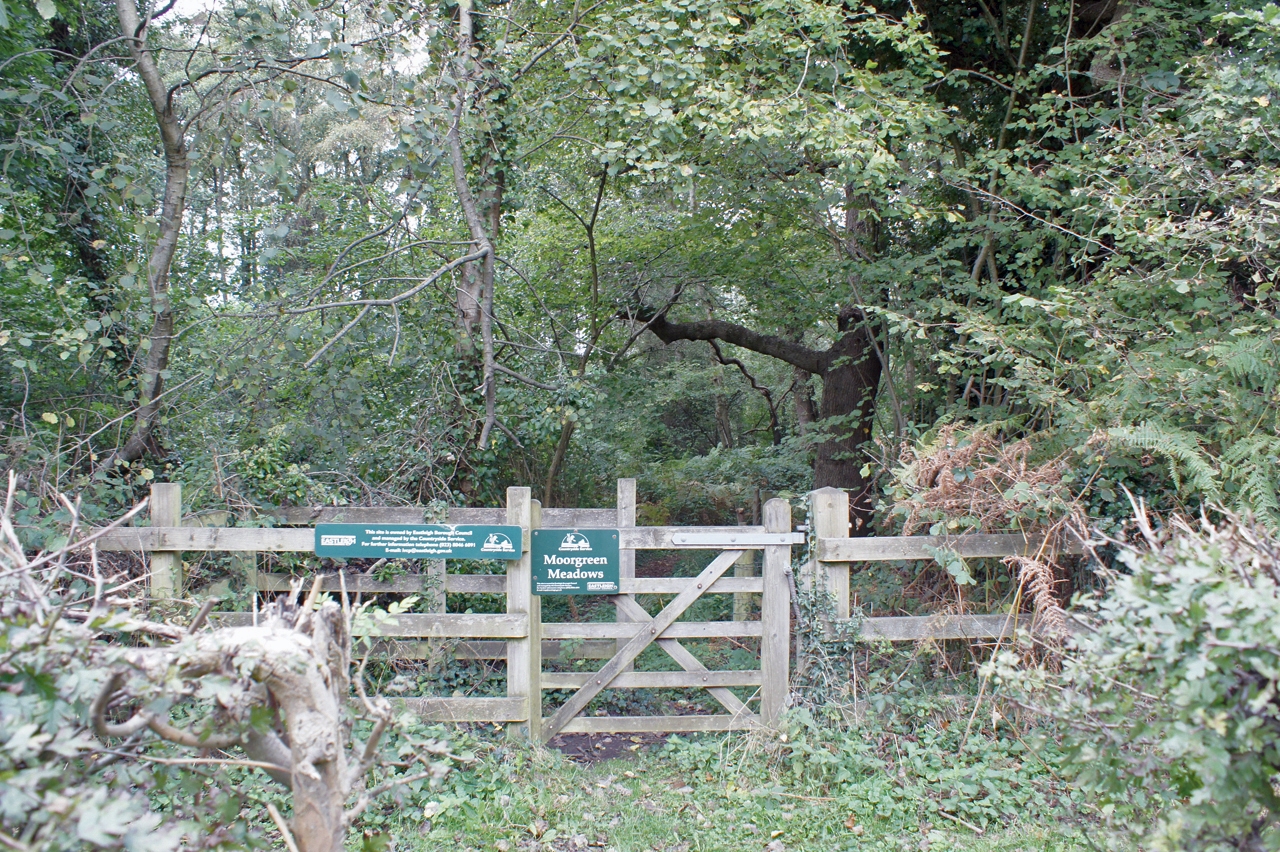
Moorgreen Meadows
Moorgreen Meadows is a 14.3-hectare (35-acre) biological Site of Special Scientific Interest in Southampton in Hampshire.These meadows are important for...

Moorgreen Hospital
Moorgreen Hospital was a community hospital in West End, near Southampton. It was managed by Southampton City Primary Care Trust. == History == The hospital...
Shamblehurst Farmhouse
Shamblehurst Farmhouse is a Grade II listed building in Hedge End, Hampshire. Situated on Shamblehurst Lane, it was first listed on 14 February 1983. The...
West End, Hampshire
West End is a parish in Hampshire in the borough of Eastleigh, five miles (8.0 km) east of the city of Southampton. The village of West End is small and...

Netley Common
Netley Common is a 12.8-hectare (32-acre) Local Nature Reserve in Southampton in Hampshire. It is owned by Hampshire County Council and managed by Hampshire...
Nearby Amenities
Located within 500m of 50.916575,-1.3069753Have you been to Wildern Nature Park?
Leave your review of Wildern Nature Park below (or comments, questions and feedback).