Busby's Spinney
Wood, Forest in Oxfordshire Cherwell
England
Busby's Spinney

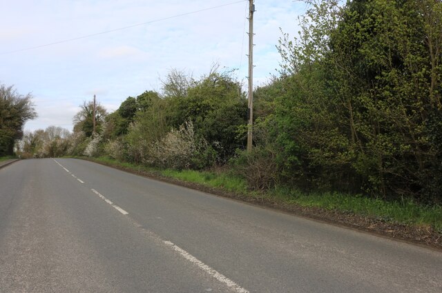
Busby's Spinney is a picturesque woodland located in Oxfordshire, England. Spanning over an area of approximately 20 acres, this enchanting forest is a haven for nature enthusiasts and provides a tranquil escape from the bustling city life.
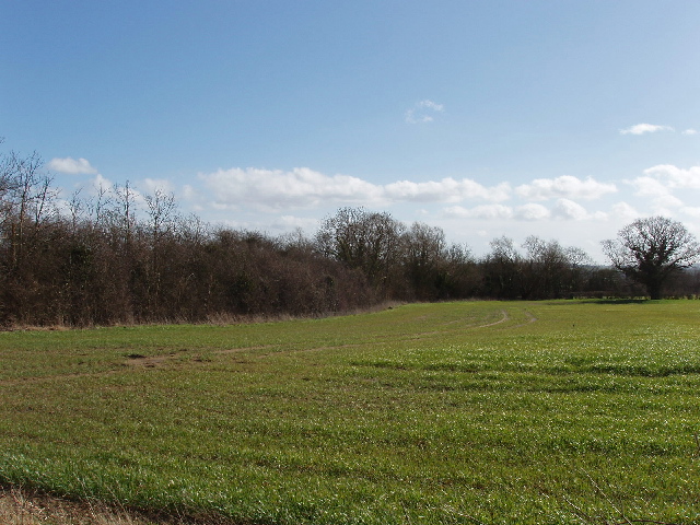
The woodland is characterized by a diverse array of trees, including oak, beech, and birch, which create a rich and vibrant canopy overhead. These towering trees provide shade and shelter to a wide variety of wildlife, including birds, squirrels, and deer, making it a popular destination for birdwatchers and wildlife photographers.
As visitors explore Busby's Spinney, they can meander along well-maintained footpaths that wind through the forest, offering stunning views of the surrounding natural beauty. Along the way, visitors may stumble upon a babbling brook or stumble upon a hidden pond nestled amidst the trees.
The woodland is well-preserved and managed by conservationists, ensuring its ecological integrity is maintained. As a result, it offers a unique opportunity for visitors to experience a truly authentic woodland environment. The serene ambiance of Busby's Spinney makes it an ideal spot for a peaceful walk, a family picnic, or even a spot of meditation.
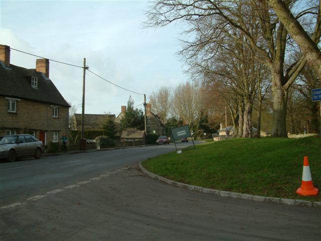
Furthermore, the woodland is easily accessible, with ample parking facilities and nearby public transportation options available. It attracts visitors from both local communities and tourists, who come to appreciate its beauty and reconnect with nature.
In conclusion, Busby's Spinney in Oxfordshire is a captivating woodland that offers a serene and immersive experience in nature. With its diverse flora and fauna, well-maintained footpaths, and accessible location, it is a cherished destination for those seeking solace and tranquility amidst the beauty of the natural world.
If you have any feedback on the listing, please let us know in the comments section below.
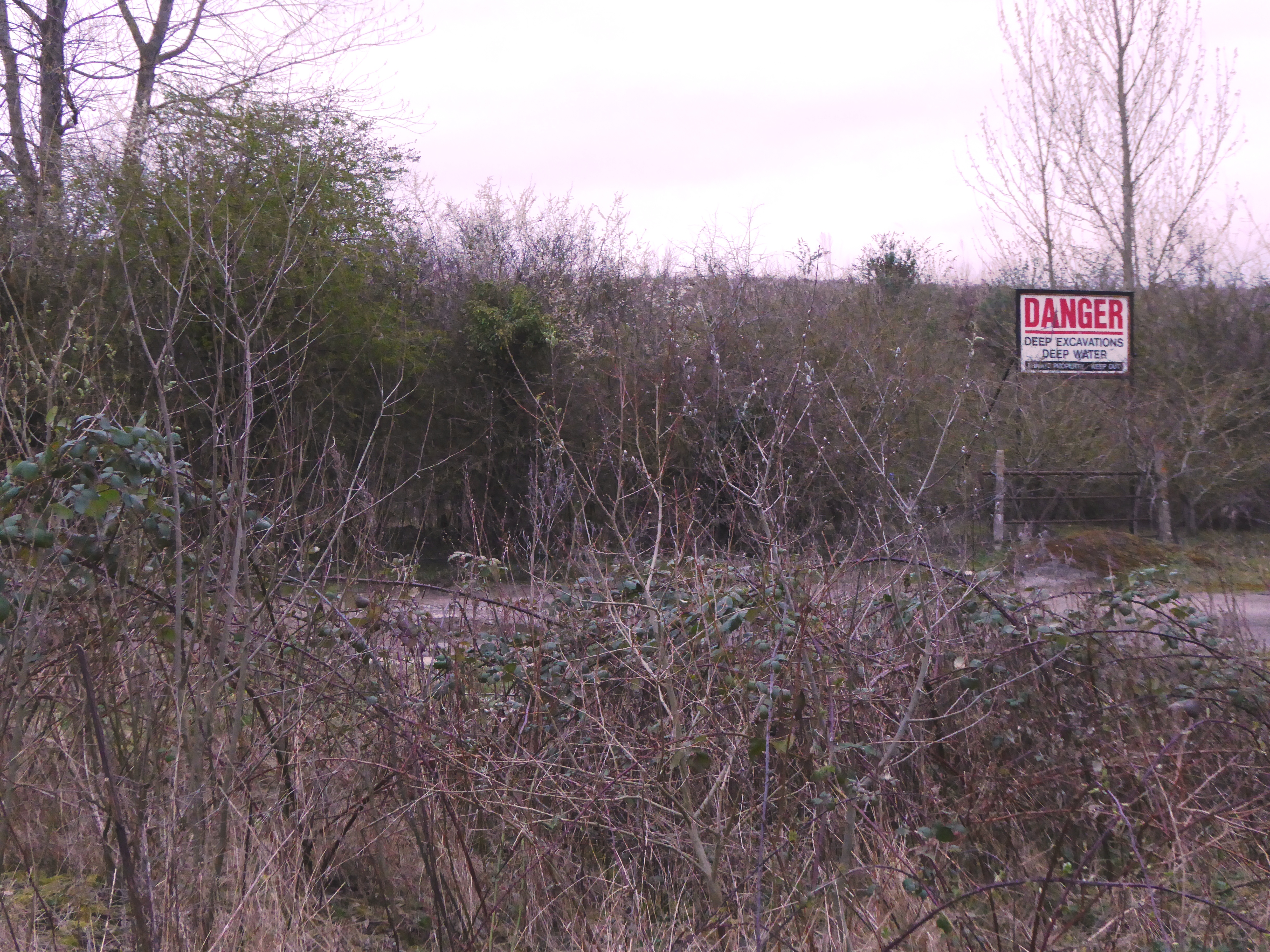
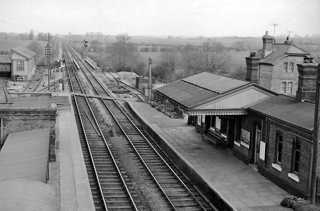
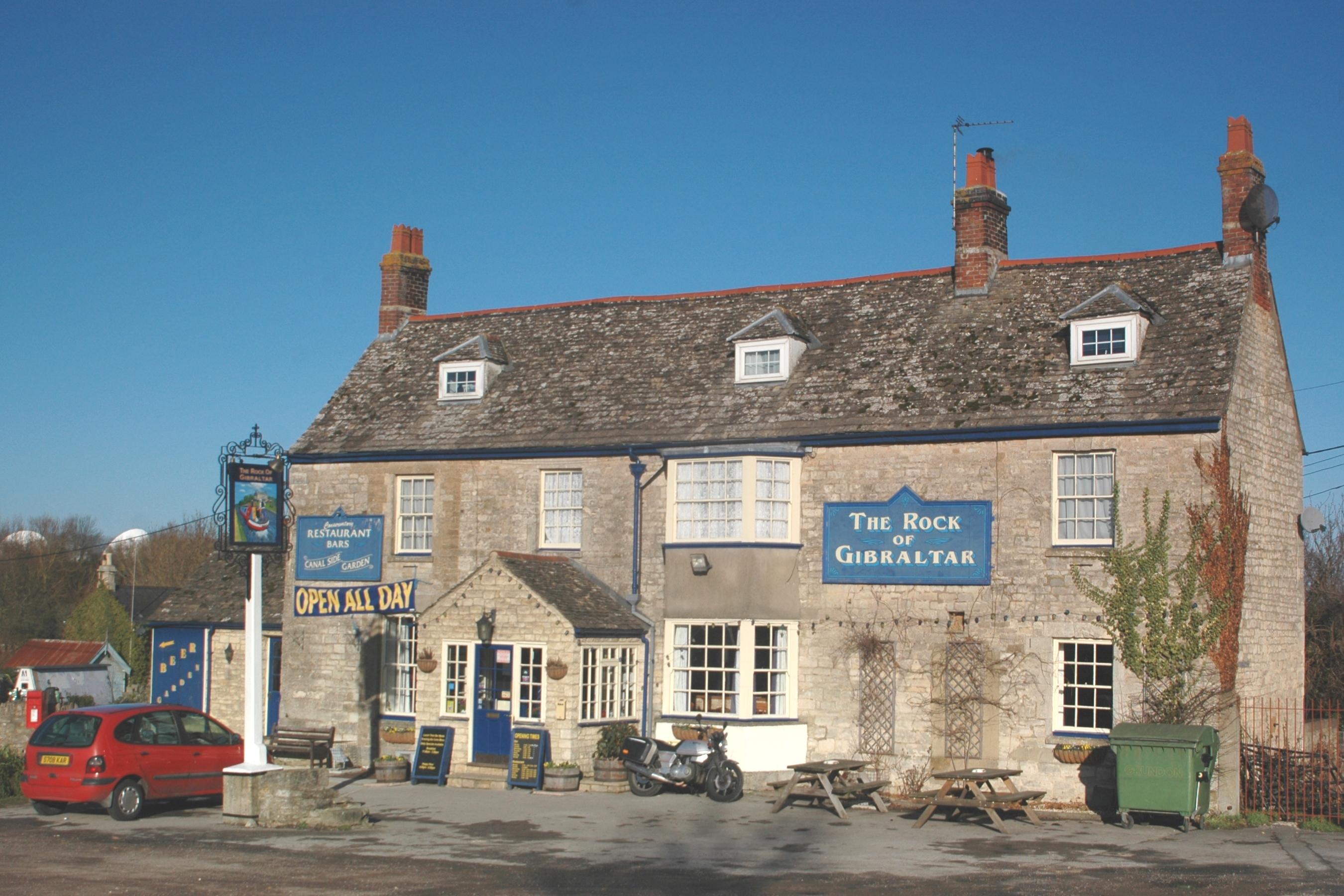
Busby's Spinney Images
Images are sourced within 2km of 51.850903/-1.29342 or Grid Reference SP4817. Thanks to Geograph Open Source API. All images are credited.


Busby's Spinney is located at Grid Ref: SP4817 (Lat: 51.850903, Lng: -1.29342)
Administrative County: Oxfordshire
District: Cherwell
Police Authority: Thames Valley
What 3 Words
///prowess.elbowing.nurtures. Near Kidlington, Oxfordshire
Nearby Locations
Related Wikis

Shipton-on-Cherwell train crash
The Shipton-on-Cherwell train crash was a major disaster which occurred on the Great Western Railway. It involved the derailment of a long passenger train...
Hampton Gay
Hampton Gay is a village in the civil parish of Hampton Gay and Poyle, in the Cherwell district, in the county of Oxfordshire, England. It is in the Cherwell...

Shipton-on-Cherwell
Shipton-on-Cherwell is a village on the River Cherwell about 2 miles (3 km) north of Kidlington in Oxfordshire, England. The village is part of the civil...

The Manor Studio
The Manor Studio (a.k.a. the Manor) was a recording studio in the manor house at the village of Shipton-on-Cherwell in Oxfordshire, England, north of the...
Shipton-on-Cherwell and Whitehill Farm Quarries
Shipton-on-Cherwell and Whitehill Farm Quarries is a 30-hectare (74-acre) geological Site of Special Scientific Interest north of Kidlington in Oxfordshire...

Shipton-on-Cherwell and Thrupp
Shipton-on-Cherwell and Thrupp is a civil parish in Oxfordshire, England. It was formed in 1955 by removing the hamlet of Thrupp (grid reference SP4815...
Bletchington railway station
Bletchington railway station is a disused station in Oxfordshire at Enslow, England, a hamlet 1.25 miles (2 km) west of the village of Bletchingdon. The...
Enslow
Enslow is a hamlet on the banks of both the River Cherwell and the Oxford Canal in Bletchingdon civil parish, Oxfordshire. The medieval main road linking...
Nearby Amenities
Located within 500m of 51.850903,-1.29342Have you been to Busby's Spinney?
Leave your review of Busby's Spinney below (or comments, questions and feedback).