Healds' Wood

Wood, Forest in Nottinghamshire Ashfield

England

Healds' Wood

Birch woodland Silverhill Country Park
Birch woodland Credit: David Lally

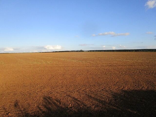
Healds' Wood is a picturesque woodland located in Nottinghamshire, England. Covering an area of approximately 50 acres, this ancient forest is a popular destination for nature lovers and outdoor enthusiasts.

The woodland is characterized by a diverse range of trees, including oak, ash, beech, and birch, which create a dense and vibrant canopy. The forest floor is covered in a lush carpet of ferns, bluebells, and wildflowers, adding to the enchanting atmosphere of the wood.

Healds' Wood is home to a variety of wildlife, including deer, foxes, rabbits, and a wide array of bird species. The tranquil setting provides a haven for these creatures, and visitors often have the opportunity to observe them in their natural habitat.

The woodland is crisscrossed with footpaths and trails, allowing visitors to explore its beauty at their own pace. The main trail leads to a small stream, where visitors can relax and enjoy the peaceful sounds of running water.

Healds' Wood is also steeped in history, with evidence of human activity dating back to medieval times. It is believed that the wood was once used for timber production and hunting grounds for the local nobility.

Today, Healds' Wood is managed by a local conservation group, ensuring its preservation and protection for future generations to enjoy. It is a truly magical place, offering a serene escape from the hustle and bustle of everyday life.

If you have any feedback on the listing, please let us know in the comments section below.

Healds' Wood Images

Images are sourced within 2km of 53.146021/-1.2731472 or Grid Reference SK4861. Thanks to Geograph Open Source API. All images are credited.

Birch woodland Silverhill Country Park
Birch woodland
Silverhill Country Park
Young oak Silverhill Country Park.  A plantation from the late '90s. Looks like a jay has been into some oak planting a few years ago.
Young oak
Silverhill Country Park. A plantation from the late '90s. Looks like a jay has been into some oak planting a few years ago.
Information boards at Silverhill Country Park
Silverhill Country Park pond
Information boards at Silverhill Country Park
Prepared field off Dawgates Lane
Field near Baxterhill
Meeting of paths at the edge of Brierley Forest Park
Stubbinghill Farm, Stanton Hill
Track in Silverhill Wood Country Park The Country Park occupies the site of the former Silverhill Colliery.
Track in Silverhill Wood Country Park
The Country Park occupies the site of the former Silverhill Colliery.
Former railway bridge over Pleasley Road Now carries a bridleway.
Former railway bridge over Pleasley Road
Now carries a bridleway.
Track in Silverhill Wood Country Park Close to Hare Plantation.
Track in Silverhill Wood Country Park
Close to Hare Plantation.
Autumn in Teversal
Autumn in Teversal
Peartree Lane A byway.
Peartree Lane
A byway.
Prepared field alongside Newbound Lane
Below 'Testing for Gas' The statue 'Testing for Gas' stands on the top of the former spoil heap of Silverhill Colliery and commemorates the, now all closed, pits of the Nottinghamshire Coalfield.
Below 'Testing for Gas'
The statue 'Testing for Gas' stands on the top of the former spoil heap of Silverhill Colliery and commemorates the, now all closed, pits of the Nottinghamshire Coalfield.
'Testing for Gas' Close-up of a sculpture by Anthony Dufort commemorating the mines and miners of the Nottinghamshire Coalfield.
'Testing for Gas'
Close-up of a sculpture by Anthony Dufort commemorating the mines and miners of the Nottinghamshire Coalfield.
View to the west from the top of the Silverhill spoil heap Looking into Derbyshire.
View to the west from the top of the Silverhill spoil heap
Looking into Derbyshire.
Show me another place!

Healds' Wood is located at Grid Ref: SK4861 (Lat: 53.146021, Lng: -1.2731472)

Administrative County: Nottinghamshire

District: Ashfield

Police Authority: Nottinghamshire

What 3 Words

///blame.parts.banks. Near Sutton in Ashfield, Nottinghamshire

Related Wikis

All Saints' Church, Stanton Hill

All Saints' Church, Stanton Hill is a parish church in the Church of England in Stanton Hill, Nottinghamshire. The church is not a listed building, however...

St Andrew's Church, Skegby

St. Andrew's Church is a parish church in the Church of England in Skegby, Nottinghamshire. The church is Grade II listed by the Department for Digital...
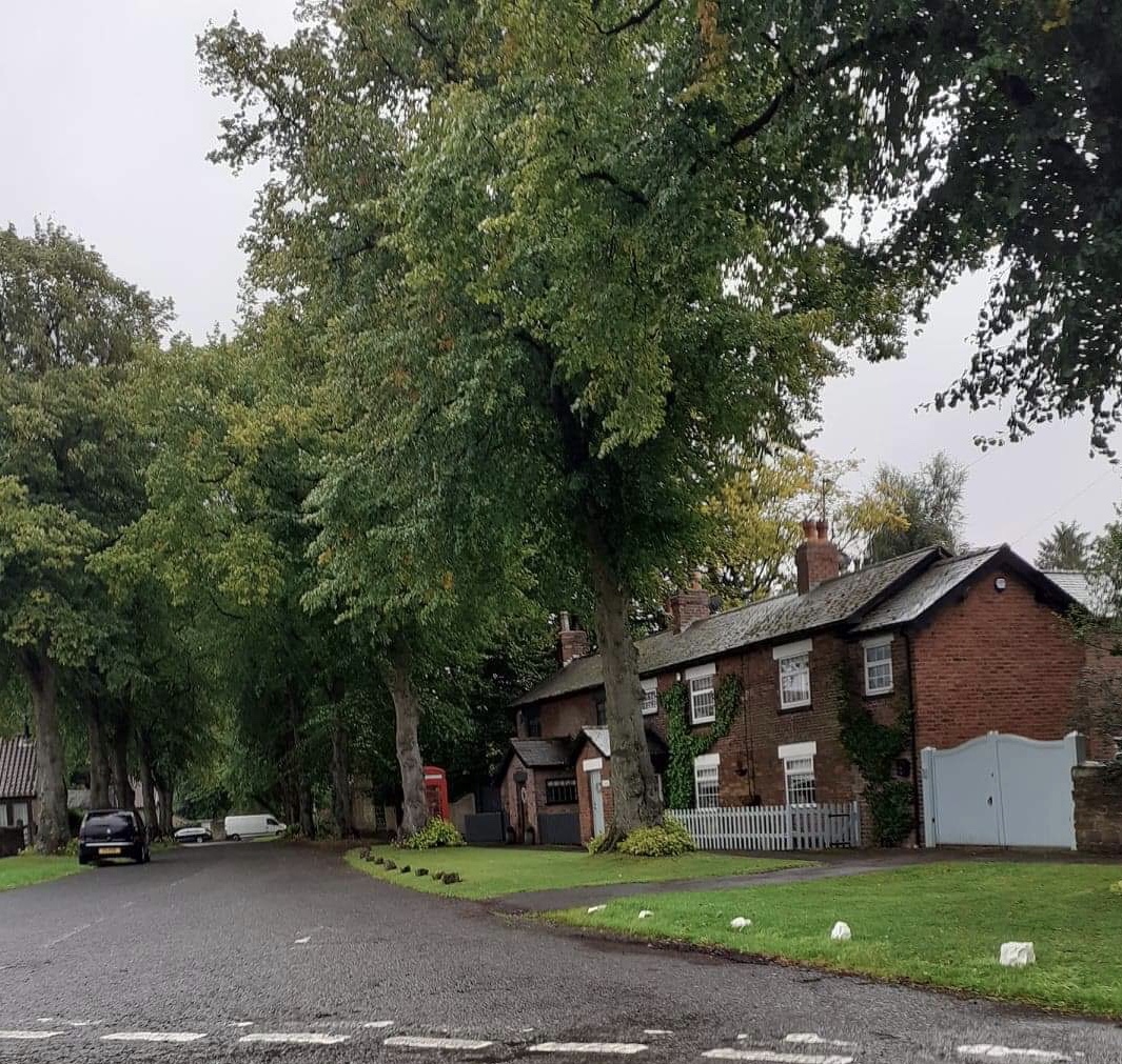
Stanton Hill

Stanton Hill is a village in the Ashfield district of Nottinghamshire. == History == Skegby Colliery, owned by the Dodsley family, was originally located...

Skegby

Skegby is a village and former civil parish in the Ashfield district of Nottinghamshire, England. It is located two miles west of Mansfield and one mile...
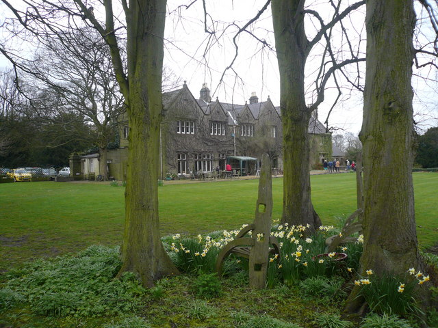
Teversal Manor

Teversal Manor is a small Grade II listed 17th-century country house in Teversal, Nottinghamshire, some 5 km (3 miles) west of Mansfield. The building...

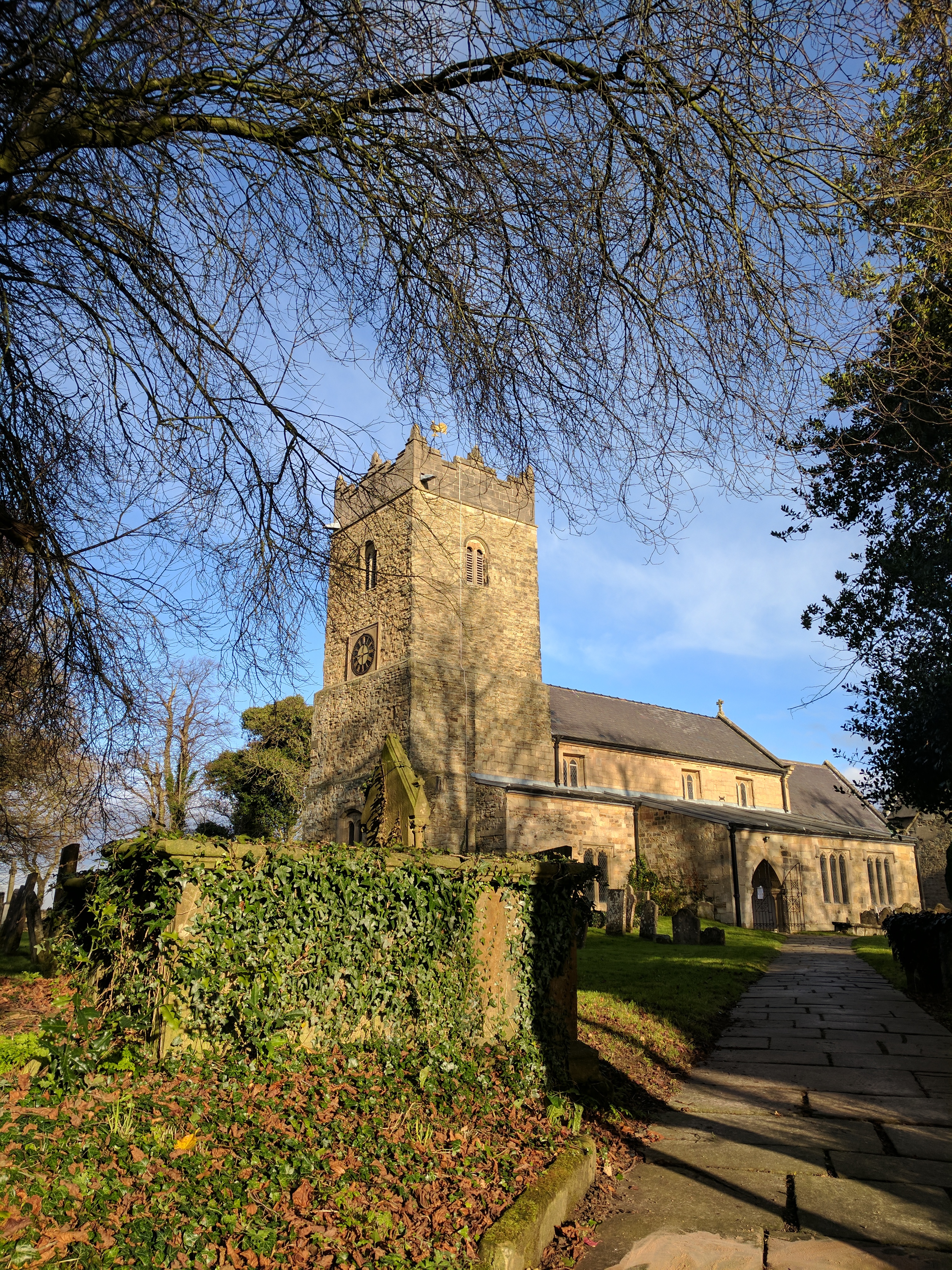
St Katherine's Church, Teversal

The St Katherine's Church is on Buttery Lane, Teversal, Nottinghamshire, England. It is an active Church of England parish church in the deanery of Newstead...

Teversal

Teversal is a village and former civil parish in the Ashfield district of Nottinghamshire, England. It lies north of Sutton-in-Ashfield and 3 miles (5...

Skegby railway station

Skeby railway station served the village of Skegby, Nottinghamshire in England. == Context == The station was built by the Great Northern Railway (GNR...

Nearby Amenities

Located within 500m of 53.146021,-1.2731472
Barrier: stile
Steps: 1
Stile: stepover
Lat/Long: 53.1496113/-1.2712131
Bus Stop
Oak Street
Bus: yes
Naptan AtcoCode: 3300AS0455
Naptan Bearing: NW
Naptan CommonName: Oak Street
Naptan Crossing: Oak Street
Naptan Indicator: opp
Naptan NaptanCode: ntsdtajp
Naptan Notes: none
Naptan PlusbusZoneRef: MFLDTWN
Naptan Street: Healdswood Street
Naptan Verified: no
Public Transport: platform
Source: naptan_import
Lat/Long: 53.145015/-1.2730345
Bus Stop
New Lane
Bus: yes
Naptan AtcoCode: 3300AS0458
Naptan Bearing: SW
Naptan CommonName: New Lane
Naptan Crossing: New Lane
Naptan Indicator: adj
Naptan NaptanCode: ntsdtama
Naptan Notes: none
Naptan PlusbusZoneRef: MFLDTWN
Naptan Street: Fackley Road
Naptan Verified: no
Public Transport: platform
Source: naptan_import
Lat/Long: 53.1419355/-1.2751347
Bus Stop
New Lane
Bus: yes
Naptan AtcoCode: 3300AS0459
Naptan Bearing: NE
Naptan CommonName: New Lane
Naptan Crossing: New Lane
Naptan Indicator: opp
Naptan NaptanCode: ntsgdatd
Naptan Notes: none
Naptan PlusbusZoneRef: MFLDTWN
Naptan Street: Fackley Road
Naptan Verified: no
Public Transport: platform
Source: naptan_import
Lat/Long: 53.1420489/-1.2745647
Bus Stop
Health Centre
Bus: yes
Naptan AtcoCode: 3300AS0460
Naptan Bearing: SW
Naptan CommonName: Health Centre
Naptan Crossing: Lime Tree Avenue
Naptan Indicator: opp
Naptan Landmark: Health Centre
Naptan NaptanCode: ntsgdatg
Naptan Notes: none
Naptan PlusbusZoneRef: MFLDTWN
Naptan Street: Mansfield Road
Naptan Verified: no
Public Transport: platform
Source: naptan_import
Lat/Long: 53.1423954/-1.2724359
Bus Stop
Health Centre
Bus: yes
Naptan AtcoCode: 3300AS0461
Naptan Bearing: NE
Naptan CommonName: Health Centre
Naptan Crossing: Lime Tree Avenue
Naptan Indicator: adj
Naptan Landmark: Health Centre
Naptan NaptanCode: ntsgdatj
Naptan Notes: none
Naptan PlusbusZoneRef: MFLDTWN
Naptan Street: Mansfield Road
Naptan Verified: no
Public Transport: platform
Source: naptan_import
Lat/Long: 53.1427939/-1.2714424
Bus Stop
Healdswood Street
Bus: yes
Naptan AtcoCode: 3300AS0462
Naptan Bearing: S
Naptan CommonName: Healdswood Street
Naptan Crossing: Hazel Street
Naptan Indicator: S-bound
Naptan NaptanCode: ntsgdatm
Naptan Notes: none
Naptan PlusbusZoneRef: MFLDTWN
Naptan Street: Healdswood Street
Naptan Verified: no
Public Transport: platform
Source: naptan_import
Lat/Long: 53.1433295/-1.2708353
Bus Stop
Oak Street
Bus: yes
Naptan AtcoCode: 3300AS0464
Naptan Bearing: SE
Naptan CommonName: Oak Street
Naptan Crossing: Oak Street
Naptan Indicator: adj
Naptan NaptanCode: ntsgdatw
Naptan Notes: none
Naptan PlusbusZoneRef: MFLDTWN
Naptan Street: Healdswood Street
Naptan Verified: no
Public Transport: platform
Source: naptan_import
Lat/Long: 53.1443524/-1.2719842
Bus Stop
Beech Street
Bus: yes
Naptan AtcoCode: 3300AS0466
Naptan Bearing: NE
Naptan CommonName: Beech Street
Naptan Crossing: Hazel Street
Naptan Indicator: NE-bound
Naptan NaptanCode: ntsgdawd
Naptan Notes: none
Naptan PlusbusZoneRef: MFLDTWN
Naptan Street: Beech Street
Naptan Verified: no
Public Transport: platform
Source: naptan_import
Lat/Long: 53.1458928/-1.2710461
Bus Stop
Healdswood Street
Bus: yes
Naptan AtcoCode: 3300AS0474
Naptan Bearing: NW
Naptan CommonName: Healdswood Street
Naptan Crossing: Hazel Street
Naptan Indicator: NW-bound
Naptan NaptanCode: ntsgdgjg
Naptan Notes: none
Naptan PlusbusZoneRef: MFLDTWN
Naptan Street: Healdswood Street
Naptan Verified: no
Public Transport: platform
Source: naptan_import
Lat/Long: 53.1437283/-1.2713668
Bench
Lat/Long: 53.1480799/-1.2699403
Ele: 149
Lat/Long: 53.1435617/-1.2671631
Ele: 154
Lat/Long: 53.145354/-1.2664428
Ele: 145.2838135
Lat/Long: 53.1480685/-1.2699638
Ele: 151
Lat/Long: 53.1477449/-1.2693741
Ele: 154
Lat/Long: 53.147512/-1.2689998
Ele: 154
Lat/Long: 53.1473667/-1.2688516
Barrier: cycle_barrier
Lat/Long: 53.1473163/-1.2687422
Ele: 132
Lat/Long: 53.1481316/-1.275345
Barrier: stile
Steps: 1
Stile: stepover
Lat/Long: 53.1488592/-1.2705187
Ele: 152
Lat/Long: 53.1428201/-1.2707513
Ele: 156
Lat/Long: 53.1426317/-1.2728336
Bench
Ele: 157.7810059
Lat/Long: 53.1420655/-1.2734284
Post Box
Ele: 152
Lat/Long: 53.1428519/-1.2707403
Barrier: kissing_gate
Lat/Long: 53.1492888/-1.2707344
Note: No gate currently
Lat/Long: 53.1492681/-1.2692781
Description: Teversal Pastures Nature Reserve
Information: board
Tourism: information
Lat/Long: 53.1488725/-1.2705546
Description: Teversal Pastures Nature Reserve
Information: board
Tourism: information
Lat/Long: 53.1492192/-1.270552
Defibrillator
Emergency: defibrillator
Source: survey
Lat/Long: 53.1426442/-1.2725598
Information: route_marker
Tourism: information
Lat/Long: 53.1488103/-1.2704373
Information: route_marker
Tourism: information
Lat/Long: 53.1488632/-1.2705449
Information: route_marker
Tourism: information
Lat/Long: 53.1488107/-1.2704464
Bench
Lat/Long: 53.1481809/-1.279348
Generator Method: photovoltaic
Generator Output Electricity: yes
Generator Source: solar
Generator Type: solar_photovoltaic_panel
Location: roof
Power: generator
Lat/Long: 53.1425269/-1.277808
Generator Method: photovoltaic
Generator Output Electricity: yes
Generator Source: solar
Generator Type: solar_photovoltaic_panel
Location: roof
Power: generator
Lat/Long: 53.1425575/-1.2775156
Generator Method: photovoltaic
Generator Output Electricity: yes
Generator Source: solar
Generator Type: solar_photovoltaic_panel
Location: roof
Power: generator
Lat/Long: 53.1429822/-1.2780574
Generator Method: photovoltaic
Generator Output Electricity: yes
Generator Source: solar
Generator Type: solar_photovoltaic_panel
Location: roof
Power: generator
Lat/Long: 53.1436137/-1.269579
Generator Method: photovoltaic
Generator Output Electricity: yes
Generator Source: solar
Generator Type: solar_photovoltaic_panel
Location: roof
Power: generator
Lat/Long: 53.1434287/-1.2694341
Generator Method: photovoltaic
Generator Output Electricity: yes
Generator Source: solar
Generator Type: solar_photovoltaic_panel
Location: roof
Power: generator
Lat/Long: 53.1447318/-1.2685705
Generator Method: photovoltaic
Generator Output Electricity: yes
Generator Source: solar
Generator Type: solar_photovoltaic_panel
Location: roof
Power: generator
Lat/Long: 53.1450697/-1.2678248
Generator Method: photovoltaic
Generator Output Electricity: yes
Generator Source: solar
Generator Type: solar_photovoltaic_panel
Location: roof
Power: generator
Lat/Long: 53.1459883/-1.2676746
Generator Method: photovoltaic
Generator Output Electricity: yes
Generator Source: solar
Generator Type: solar_photovoltaic_panel
Location: roof
Power: generator
Lat/Long: 53.1459674/-1.2671355
Generator Method: photovoltaic
Generator Output Electricity: yes
Generator Source: solar
Generator Type: solar_photovoltaic_panel
Location: roof
Power: generator
Lat/Long: 53.1458934/-1.267055
Generator Method: photovoltaic
Generator Output Electricity: yes
Generator Source: solar
Generator Type: solar_photovoltaic_panel
Location: roof
Power: generator
Lat/Long: 53.1462135/-1.266819
Generator Method: photovoltaic
Generator Output Electricity: yes
Generator Source: solar
Generator Type: solar_photovoltaic_panel
Location: roof
Power: generator
Lat/Long: 53.1461411/-1.26676
Generator Method: photovoltaic
Generator Output Electricity: yes
Generator Source: solar
Generator Type: solar_photovoltaic_panel
Location: roof
Power: generator
Lat/Long: 53.1462971/-1.266827
Generator Method: photovoltaic
Generator Output Electricity: yes
Generator Source: solar
Generator Type: solar_photovoltaic_panel
Location: roof
Power: generator
Lat/Long: 53.1463663/-1.2668807
Generator Method: photovoltaic
Generator Output Electricity: yes
Generator Source: solar
Generator Type: solar_photovoltaic_panel
Location: roof
Power: generator
Lat/Long: 53.1452949/-1.2660921
Generator Method: photovoltaic
Generator Output Electricity: yes
Generator Source: solar
Generator Type: solar_photovoltaic_panel
Location: roof
Power: generator
Lat/Long: 53.1468988/-1.2660948
Generator Method: photovoltaic
Generator Output Electricity: yes
Generator Source: solar
Generator Type: solar_photovoltaic_panel
Location: roof
Power: generator
Lat/Long: 53.1469519/-1.2662906
Generator Method: photovoltaic
Generator Output Electricity: yes
Generator Source: solar
Generator Type: solar_photovoltaic_panel
Location: roof
Power: generator
Lat/Long: 53.147227/-1.2659848
Generator Method: photovoltaic
Generator Output Electricity: yes
Generator Source: solar
Generator Type: solar_photovoltaic_panel
Location: roof
Power: generator
Lat/Long: 53.1472286/-1.2688843
Generator Method: photovoltaic
Generator Output Electricity: yes
Generator Source: solar
Generator Type: solar_photovoltaic_panel
Location: roof
Power: generator
Lat/Long: 53.1470388/-1.2693456
Generator Method: photovoltaic
Generator Output Electricity: yes
Generator Source: solar
Generator Type: solar_photovoltaic_panel
Location: roof
Power: generator
Lat/Long: 53.1473927/-1.2693403
Generator Method: photovoltaic
Generator Output Electricity: yes
Generator Source: solar
Generator Type: solar_photovoltaic_panel
Location: roof
Power: generator
Lat/Long: 53.1459561/-1.2678302
Generator Method: photovoltaic
Generator Output Electricity: yes
Generator Source: solar
Generator Type: solar_photovoltaic_panel
Location: roof
Power: generator
Lat/Long: 53.1466913/-1.2693456
Generator Method: photovoltaic
Generator Output Electricity: yes
Generator Source: solar
Generator Type: solar_photovoltaic_panel
Location: roof
Power: generator
Lat/Long: 53.1451765/-1.2661363
Generator Method: photovoltaic
Generator Output Electricity: yes
Generator Source: solar
Generator Type: solar_photovoltaic_panel
Location: roof
Power: generator
Lat/Long: 53.142692/-1.272695
Generator Method: photovoltaic
Generator Output Electricity: yes
Generator Source: solar
Generator Type: solar_photovoltaic_panel
Location: roof
Power: generator
Lat/Long: 53.1426497/-1.2729194
Generator Method: photovoltaic
Generator Output Electricity: yes
Generator Source: solar
Generator Type: solar_photovoltaic_panel
Location: roof
Power: generator
Lat/Long: 53.1433008/-1.2711608
Generator Method: photovoltaic
Generator Output Electricity: yes
Generator Source: solar
Generator Type: solar_photovoltaic_panel
Location: roof
Power: generator
Lat/Long: 53.1433211/-1.271119
Generator Method: photovoltaic
Generator Output Electricity: yes
Generator Source: solar
Generator Type: solar_photovoltaic_panel
Location: roof
Power: generator
Lat/Long: 53.1442217/-1.275064
Generator Method: photovoltaic
Generator Output Electricity: yes
Generator Source: solar
Generator Type: solar_photovoltaic_panel
Location: roof
Power: generator
Lat/Long: 53.1442508/-1.27505
Stanton Hill War Memorial
Historic: memorial
Start Date: 1920
Wikidata: Q26677725
Lat/Long: 53.1420339/-1.2764495
Generator Method: photovoltaic
Generator Output Electricity: yes
Generator Source: solar
Generator Type: solar_photovoltaic_panel
Location: roof
Power: generator
Lat/Long: 53.1423531/-1.2704205
Barrier: lift_gate
Lat/Long: 53.1475797/-1.2678361
The data included in this document is from www.openstreetmap.org. The data is made available under ODbL.

Have you been to Healds' Wood?

Leave your review of Healds' Wood below (or comments, questions and feedback).