High Park Wood
Wood, Forest in Nottinghamshire Broxtowe
England
High Park Wood
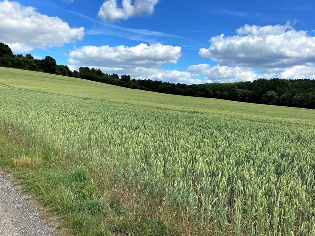
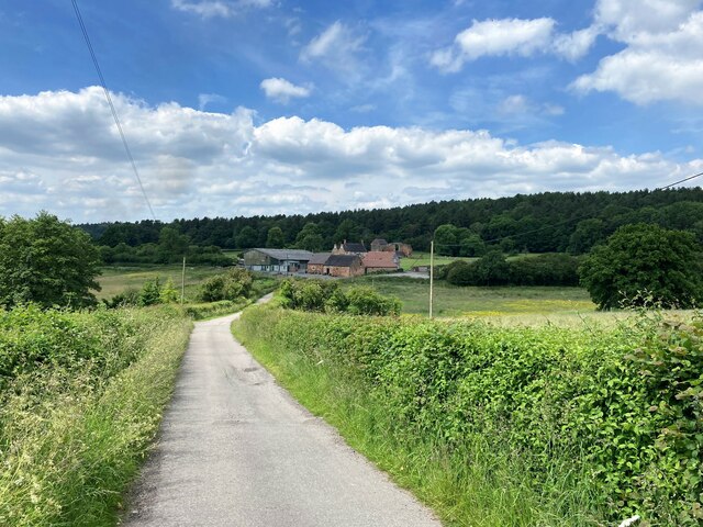
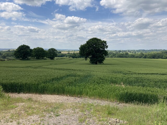
High Park Wood, located in Nottinghamshire, is a picturesque and tranquil forest that covers approximately 200 acres of land. It is a popular destination for nature enthusiasts, hikers, and those seeking a peaceful retreat away from the bustling city life.
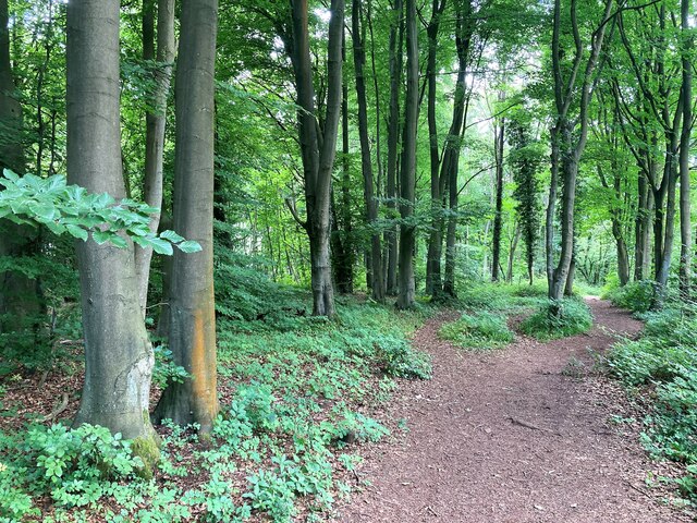
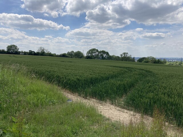
The wood is characterized by its diverse range of flora and fauna, boasting a rich biodiversity. It is home to various species of trees, including oak, ash, birch, and beech, which provide a dense canopy and create a soothing ambiance. The forest floor is adorned with a vibrant carpet of wildflowers in the spring, making it a delightful sight for visitors.
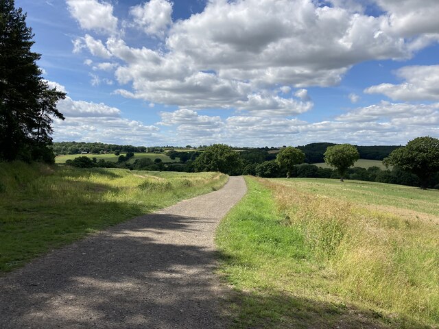
Several walking trails wind through High Park Wood, offering visitors the opportunity to explore its natural beauty. These paths are well-maintained and suitable for all ages and abilities. Along the way, visitors may encounter wildlife such as deer, squirrels, and a variety of bird species.
High Park Wood also features a small lake, enhancing its scenic charm. The lake provides a tranquil setting for picnics or simply sitting and enjoying the serene surroundings. Fishing is permitted in the lake, attracting anglers who seek a peaceful spot to cast their lines.
Overall, High Park Wood offers a wonderful escape from the urban environment, providing a haven for both nature lovers and those seeking a peaceful retreat. Its natural beauty and diverse ecosystem make it a must-visit destination in Nottinghamshire.
If you have any feedback on the listing, please let us know in the comments section below.
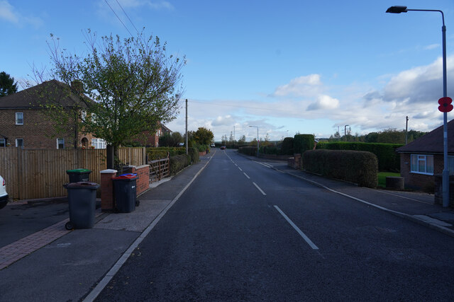
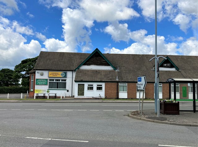
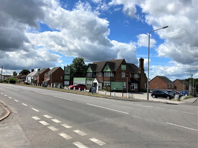
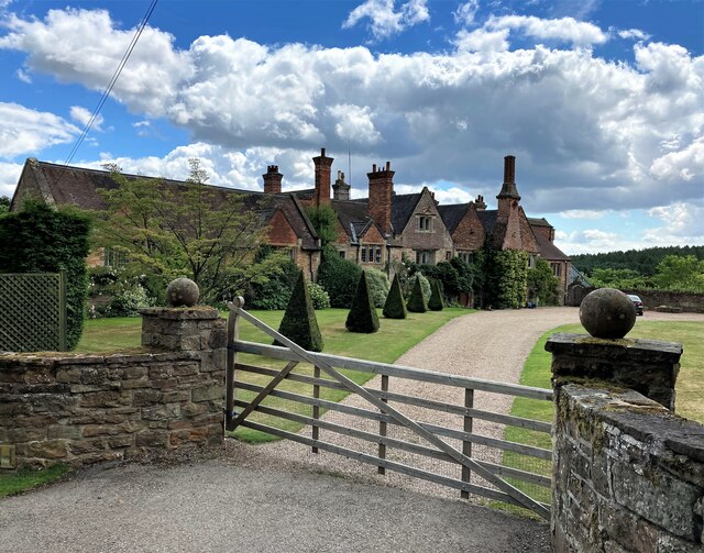
High Park Wood Images
Images are sourced within 2km of 53.038829/-1.2768298 or Grid Reference SK4849. Thanks to Geograph Open Source API. All images are credited.


High Park Wood is located at Grid Ref: SK4849 (Lat: 53.038829, Lng: -1.2768298)
Administrative County: Nottinghamshire
District: Broxtowe
Police Authority: Nottinghamshire
What 3 Words
///quitter.corn.slide. Near Eastwood, Nottinghamshire
Nearby Locations
Related Wikis

Beauvale
Beauvale, or Beauvale Newthorpe, is a village in Nottinghamshire, England. It is located 1 mile to the east of Eastwood. It is in Greasley parish. Beauvale...

Beauvale Priory
Beauvale Priory (also known as Beauvale Charterhouse) was a Carthusian monastery in Beauvale, Nottinghamshire. It is a scheduled ancient monument. ��2...
Underwood, Nottinghamshire
Underwood is a hilltop village within the civil parish of Selston in the English ceremonial county of Nottinghamshire. The village is a ward of Ashfield...
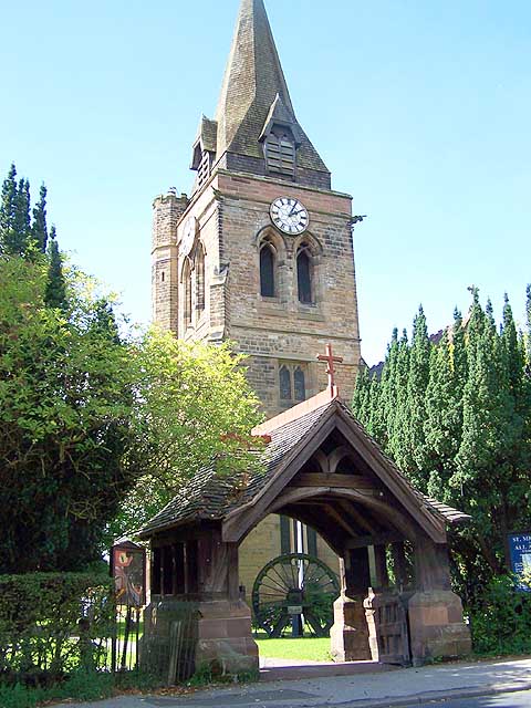
Church of St Michael and All Angels, Underwood
The Church of St Michael and All Angels, Underwood is a parish church in the Church of England in Underwood, Nottinghamshire. The church is Grade II listed...
Related Videos

A SOLO HIKE UK 4K - through a medieval forest.
Decided to go for another hike as we haven't been out camping in a few weeks. It did not disappoint, what a place. even stopped ...


Club Match - Oak Tree Fishery(Notts) 19/06/22
Live Match fishing.

Alpkit ULTRA Bikepacking Tent Review
In this video I review the Alpkit Ultra Tent for bikepacking: Link to buy Alpkit Ultra Tent: ...
Nearby Amenities
Located within 500m of 53.038829,-1.2768298Have you been to High Park Wood?
Leave your review of High Park Wood below (or comments, questions and feedback).