Butler Wood

Wood, Forest in Nottinghamshire Ashfield

England

Butler Wood

Old farm on Mansfield Road, Selston
Old farm on Mansfield Road, Selston Credit: Neil Theasby

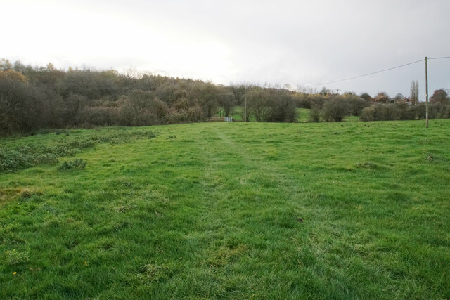
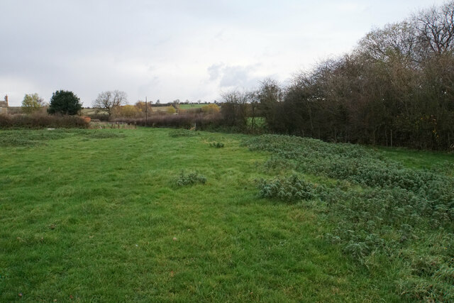
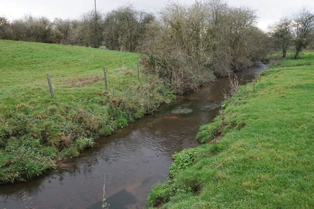
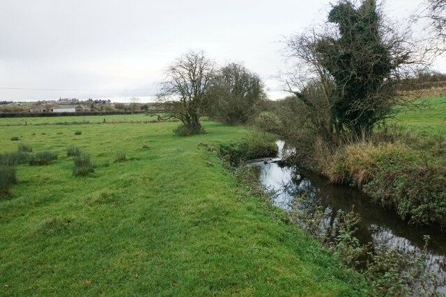
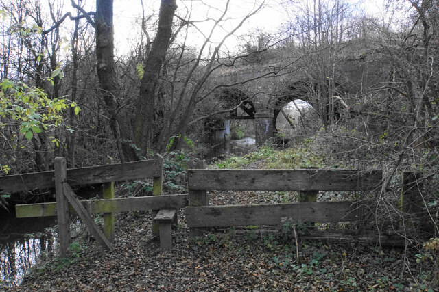
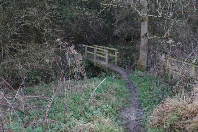
Butler Wood is a small woodland area located in Nottinghamshire, England. It is situated on the outskirts of the town of Wood, near the Sherwood Forest. The wood covers an area of approximately 10 acres and is known for its diverse range of flora and fauna.

The woodland is predominantly made up of broadleaf trees, including oak, ash, and beech. These trees provide a dense canopy that creates a shaded and cool environment within the wood. The forest floor is covered in a thick layer of leaf litter, which supports a variety of plant species, such as bluebells, wild garlic, and wood anemones.

Butler Wood is home to numerous wildlife species, including birds, mammals, and insects. Birdwatchers can spot species such as great tits, woodpeckers, and robins, among others. Mammals like foxes, badgers, and squirrels are also commonly found in the wood. In addition, the wood is home to a variety of insects, including butterflies, bees, and beetles.

The wood is a popular destination for nature enthusiasts, walkers, and photographers. It offers a peaceful and serene environment, with well-maintained paths for visitors to explore. There are also designated picnic areas for visitors to relax and enjoy the natural surroundings.

Overall, Butler Wood in Nottinghamshire is a beautiful woodland area that provides a haven for a wide range of plant and animal species. Its accessibility and natural beauty make it a popular spot for locals and tourists alike to enjoy the tranquility of nature.

If you have any feedback on the listing, please let us know in the comments section below.

Butler Wood Images

Images are sourced within 2km of 53.075882/-1.2826428 or Grid Reference SK4853. Thanks to Geograph Open Source API. All images are credited.

Old farm on Mansfield Road, Selston
House on Mansfield Road, Selston
Selston Parish Hall on Mansfield Road
Christians Meeting House in Selston
Ken's Newsagents and Off Licence, Selston Oddly, this area of Selston is known as Skegness. It's a long way from the sea.
Ken's Newsagents and Off Licence, Selston
Oddly, this area of Selston is known as Skegness. It's a long way from the sea.
Horses at a gate, Nottingham Road, Selston Common
Semi-detached bungalows, Selston On Nottingham Road.
Semi-detached bungalows, Selston
On Nottingham Road.
Land being developed by Spring Meadow I don't know what this development is. Until fairly recently, the land was a field.
Land being developed by Spring Meadow
I don't know what this development is. Until fairly recently, the land was a field.
Track to Meadow Farm The track is a turning off Park Lane in the Erewash valley. It is also a public bridleway.
Track to Meadow Farm
The track is a turning off Park Lane in the Erewash valley. It is also a public bridleway.
Harvested field in the Erewash valley Looking up the hill towards Kirkby-in-Ashfield where the spire of St Wilfrid's Church is prominent.
Harvested field in the Erewash valley
Looking up the hill towards Kirkby-in-Ashfield where the spire of St Wilfrid's Church is prominent.
Track to Meadow Farm The track is going under the former railway servicing Bentinck Pit, and there are three separate spans to go under.
Track to Meadow Farm
The track is going under the former railway servicing Bentinck Pit, and there are three separate spans to go under.
Footpath to Kirkby Park The path is in the Erewash valley and the river flows where the gate can be seen ahead. A bit of Lower Portland Farm can be seen in the trees.
Footpath to Kirkby Park
The path is in the Erewash valley and the river flows where the gate can be seen ahead. A bit of Lower Portland Farm can be seen in the trees.
Path to Kirkby-in-Ashfield The path will go past Meadow Farm which is seen on the left.
Path to Kirkby-in-Ashfield
The path will go past Meadow Farm which is seen on the left.
River Erewash The river is noted for marking the boundary between Derbyshire and Nottinghamshire but this early part of its course is all in Nottinghamshire.
River Erewash
The river is noted for marking the boundary between Derbyshire and Nottinghamshire but this early part of its course is all in Nottinghamshire.
Path to Kirkby-in-Ashfield Kirkby-in-Ashfield is seen on the hill ahead. The path runs beside the River Erewash.
Path to Kirkby-in-Ashfield
Kirkby-in-Ashfield is seen on the hill ahead. The path runs beside the River Erewash.
Path to Pinxton The path follows the north side of the River Erewash. It is about to go under a dismantled railway which used to service Bentinck Colliery.
Path to Pinxton
The path follows the north side of the River Erewash. It is about to go under a dismantled railway which used to service Bentinck Colliery.
Footpath to Selston The path has to cross the River Erewash here, before running alongside the M1 motorway for a bit.
Footpath to Selston
The path has to cross the River Erewash here, before running alongside the M1 motorway for a bit.
Road Junction in Selston Sperry Close can be seen here joining the larger and busier Nottingham Road.
Road Junction in Selston
Sperry Close can be seen here joining the larger and busier Nottingham Road.
Show me another place!

Butler Wood is located at Grid Ref: SK4853 (Lat: 53.075882, Lng: -1.2826428)

Administrative County: Nottinghamshire

District: Ashfield

Police Authority: Nottinghamshire

What 3 Words

///dart.solo.humans. Near Pinxton, Derbyshire

Nearby Locations

Butler Wood

Related Wikis

Annesley Woodhouse

Annesley Woodhouse is a village in Nottinghamshire, England, located approximately 10 miles north of the City of Nottingham and 6 miles south of Mansfield...

Selston

Selston is a large village and civil parish in the Ashfield District of Nottinghamshire, England. It is situated 12 miles (19.3 km) north-northwest of...

Selston F.C.

Selston F.C. is a football club based in Selston, Nottinghamshire. They are currently members of the United Counties League Division One and play at the...

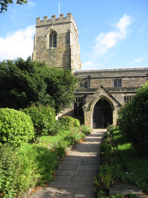
St John the Evangelist's Church, Kirkby Woodhouse

St John the Evangelist's Church, Kirkby-in-Ashfield is a parish church in the Church of England in Kirkby Woodhouse, Nottinghamshire. == History == St...

Selston High School

Selston High School is a mixed secondary school that educates students aged 11–16. It is located in Selston, Nottinghamshire, England. The headteacher...

Felley

Felley is a civil parish in the Ashfield district, in Nottinghamshire, England, located between Hucknall and Sutton-in-Ashfield. According to the 2001...

Pinxton and Selston railway station

Pinxton and Selston railway station served the villages of Pinxton, Derbyshire and Selston, Nottinghamshire. It was located on the Midland Railway's Mansfield...

Felley Priory

Felley Priory is a 16th century house with gardens located in the village of Felley, Nottinghamshire, UK. It is situated on the grounds of a former priory...

Nearby Amenities

Located within 500m of 53.075882,-1.2826428
Ele: 160.0000000
Lat/Long: 53.0725008/-1.2835802
Barrier: stile
Ele: 159
Steps: 0
Stile: stepover
Lat/Long: 53.0723416/-1.2843163
Ele: 157.0000000
Lat/Long: 53.0716814/-1.2825428
Ele: 154.0000000
Lat/Long: 53.07301/-1.2815847
Barrier: stile
Ele: 143.0000000
Steps: 1
Stile: stepover
Lat/Long: 53.0736772/-1.2797661
Ele: 140
Lat/Long: 53.0737352/-1.2793101
Ele: 137
Lat/Long: 53.0737925/-1.2789325
Ele: 128
Lat/Long: 53.0739741/-1.2776916
Ele: 128
Lat/Long: 53.0740673/-1.2776879
Ele: 128
Lat/Long: 53.0741889/-1.277757
Ele: 130
Lat/Long: 53.0747117/-1.2780227
Ele: 115
Lat/Long: 53.0749797/-1.2753476
Barrier: cycle_barrier;gate
Lat/Long: 53.0769053/-1.2890295
Barrier: stile
Steps: 2
Stile: stepover
Lat/Long: 53.0726881/-1.2839622
Turning Circle
Lat/Long: 53.0739487/-1.2888523
Turning Circle
Lat/Long: 53.0737937/-1.2879863
Barrier: kissing_gate
Lat/Long: 53.0771264/-1.2893592
Location Transition: yes
Power: pole
Lat/Long: 53.071499/-1.2826694
Direction: 170
Generator Method: photovoltaic
Generator Output Electricity: yes
Generator Solar Modules: 13
Generator Source: solar
Generator Type: solar_photovoltaic_panel
Location: roof
Power: generator
Lat/Long: 53.0725414/-1.2875565
Disused Power: generator
Generator Method: photovoltaic
Generator Output Electricity: yes
Generator Source: solar
Generator Type: solar_photovoltaic_panel
Location: roof
Lat/Long: 53.072943/-1.2871862
Direction: 170
Generator Method: photovoltaic
Generator Output Electricity: yes
Generator Solar Modules: 13
Generator Source: solar
Generator Type: solar_photovoltaic_panel
Location: roof
Power: generator
Lat/Long: 53.072977/-1.2870676
Disused Power: generator
Generator Method: photovoltaic
Generator Output Electricity: yes
Generator Source: solar
Generator Type: solar_photovoltaic_panel
Location: roof
Lat/Long: 53.0729809/-1.2872159
Direction: 170
Generator Method: photovoltaic
Generator Output Electricity: yes
Generator Solar Modules: 18
Generator Source: solar
Generator Type: solar_photovoltaic_panel
Location: roof
Power: generator
Lat/Long: 53.0726395/-1.2871517
Generator Method: photovoltaic
Generator Output Electricity: yes
Generator Source: solar
Generator Type: solar_photovoltaic_panel
Location: roof
Power: generator
Lat/Long: 53.073414/-1.2858276
Generator Method: photovoltaic
Generator Output Electricity: yes
Generator Source: solar
Generator Type: solar_photovoltaic_panel
Location: roof
Power: generator
Lat/Long: 53.0734839/-1.2859182
Generator Method: photovoltaic
Generator Output Electricity: yes
Generator Source: solar
Generator Type: solar_photovoltaic_panel
Location: roof
Power: generator
Lat/Long: 53.0735709/-1.2859673
Direction: SE
Generator Method: photovoltaic
Generator Output Electricity: yes
Generator Solar Modules: 14
Generator Source: solar
Generator Type: solar_photovoltaic_panel
Location: roof
Power: generator
Lat/Long: 53.0741675/-1.2893773
Direction: SW
Generator Method: photovoltaic
Generator Output Electricity: yes
Generator Solar Modules: 15
Generator Source: solar
Generator Type: solar_photovoltaic_panel
Location: roof
Power: generator
Lat/Long: 53.0742525/-1.2895234
Direction: SW
Generator Method: photovoltaic
Generator Output Electricity: yes
Generator Solar Modules: 13
Generator Source: solar
Generator Type: solar_photovoltaic_panel
Location: roof
Power: generator
Lat/Long: 53.0745408/-1.2884795
Direction: SE
Generator Method: photovoltaic
Generator Output Electricity: yes
Generator Solar Modules: 13
Generator Source: solar
Generator Type: solar_photovoltaic_panel
Location: roof
Power: generator
Lat/Long: 53.0745143/-1.2887696
Generator Method: photovoltaic
Generator Output Electricity: yes
Generator Source: solar
Generator Type: solar_photovoltaic_panel
Location: roof
Power: generator
Lat/Long: 53.0740334/-1.2866548
Direction: SE
Generator Method: photovoltaic
Generator Output Electricity: yes
Generator Solar Modules: 15
Generator Source: solar
Generator Type: solar_photovoltaic_panel
Location: roof
Power: generator
Lat/Long: 53.0740741/-1.2879499
Direction: SE
Generator Method: photovoltaic
Generator Output Electricity: yes
Generator Solar Modules: 20
Generator Source: solar
Generator Type: solar_photovoltaic_panel
Location: roof
Power: generator
Lat/Long: 53.0743024/-1.2880055
Direction: SE
Generator Method: photovoltaic
Generator Output Electricity: yes
Generator Solar Modules: 14
Generator Source: solar
Generator Type: solar_photovoltaic_panel
Location: roof
Power: generator
Lat/Long: 53.0744261/-1.2882047
Direction: SE
Generator Method: photovoltaic
Generator Output Electricity: yes
Generator Solar Modules: 18
Generator Source: solar
Generator Type: solar_photovoltaic_panel
Location: roof
Power: generator
Lat/Long: 53.0744875/-1.2882925
Direction: NW
Generator Method: photovoltaic
Generator Output Electricity: yes
Generator Solar Modules: 8
Generator Source: solar
Generator Type: solar_photovoltaic_panel
Location: roof
Power: generator
Lat/Long: 53.0736761/-1.2889137
Direction: SE
Generator Method: photovoltaic
Generator Output Electricity: yes
Generator Solar Modules: 8
Generator Source: solar
Generator Type: solar_photovoltaic_panel
Location: roof
Power: generator
Lat/Long: 53.0736488/-1.2888701
The data included in this document is from www.openstreetmap.org. The data is made available under ODbL.

Have you been to Butler Wood?

Leave your review of Butler Wood below (or comments, questions and feedback).