Bloomer Wood

Wood, Forest in Nottinghamshire Ashfield

England

Bloomer Wood

Modern housing in Huthwaite
Modern housing in Huthwaite Credit: Graham Hogg

Bloomer Wood is a picturesque woodland located in Nottinghamshire, England. Covering an area of approximately 100 acres, it is a popular destination for nature enthusiasts and outdoor adventurers.

The wood is predominantly composed of deciduous trees such as oak, ash, and beech, which create a stunning array of colors during the autumn season. The dense canopy provides a haven for a wide variety of wildlife, including birds, squirrels, and deer. Nature lovers can often spot these creatures while exploring the numerous walking trails that crisscross the woodland.

Bloomer Wood is also notable for its rich history. It is believed to have been in existence for several centuries, with records dating back to the medieval period. In the past, the wood was used for timber production, providing a valuable resource for the local community. Today, remnants of old logging activities can still be found, adding to the wood's unique charm.

For visitors seeking a tranquil escape from the hustle and bustle of everyday life, Bloomer Wood offers a peaceful retreat. The serene atmosphere is enhanced by the absence of vehicular traffic, as the wood is accessible only on foot. Whether it's a leisurely stroll, a family picnic, or a bird-watching expedition, this woodland has something to offer everyone.

In conclusion, Bloomer Wood is a captivating natural gem in Nottinghamshire, boasting stunning scenery, diverse wildlife, and a rich history. It is a place where visitors can immerse themselves in nature and enjoy the simple pleasures of the great outdoors.

If you have any feedback on the listing, please let us know in the comments section below.
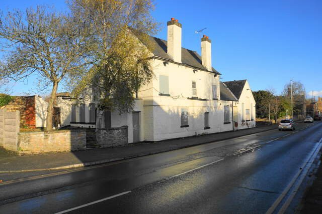
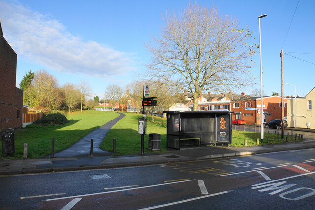
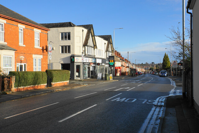
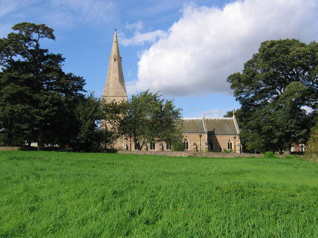
Bloomer Wood Images

Images are sourced within 2km of 53.10892/-1.2830942 or Grid Reference SK4857. Thanks to Geograph Open Source API. All images are credited.

Modern housing in Huthwaite
End of Mill Lane, Huthwaite
Track by Greenwood Falls Farm
Grazing land by Brookhill Hall Farm Land surrounding Maghole Brook.
Grazing land by Brookhill Hall Farm
Land surrounding Maghole Brook.
Planted field by Pinxton Lane The valley ahead is known as The Dumbles. A footpath crosses the field but is not currently very defined. In the distance you can see the spire of St Wilfrid's in Kirkby-in-Ashfield.
Planted field by Pinxton Lane
The valley ahead is known as The Dumbles. A footpath crosses the field but is not currently very defined. In the distance you can see the spire of St Wilfrid's in Kirkby-in-Ashfield.
Pinxton Lane entering Derbyshire and Pinxton Leaving Nottinghamshire, the road becomes Brookhill Lane.
Pinxton Lane entering Derbyshire and Pinxton
Leaving Nottinghamshire, the road becomes Brookhill Lane.
Pinxton Lane A large new warehouse has recently been built. There are many nearby, near the junction of the A38 and the M1. A footpath leaves to the right.
Pinxton Lane
A large new warehouse has recently been built. There are many nearby, near the junction of the A38 and the M1. A footpath leaves to the right.
Path crossing Pinxton Lane The path becomes a bridleway on the other side of the road. The land between Pinxton Lane and the A38 has sprouted several warehouses.
Path crossing Pinxton Lane
The path becomes a bridleway on the other side of the road. The land between Pinxton Lane and the A38 has sprouted several warehouses.
Planted field above The Dumbles The Dumbles is the valley to the left. In the distance you can see vehicles moving on the M1.
Planted field above The Dumbles
The Dumbles is the valley to the left. In the distance you can see vehicles moving on the M1.
Solar farm off Pinxton Lane The bottom of a south-facing field.
Solar farm off Pinxton Lane
The bottom of a south-facing field.
Emerging crop above The Dumbles Farmland to the west of Kirkby-in-Ashfield.
Emerging crop above The Dumbles
Farmland to the west of Kirkby-in-Ashfield.
Field entrance off Doles Lane An ungated field entrance to arable land overlooking The Dumbles.
Field entrance off Doles Lane
An ungated field entrance to arable land overlooking The Dumbles.
Path junction on Doles Lane Five routes meet at this point.
Path junction on Doles Lane
Five routes meet at this point.
Emerging crop by Doles Lane The land slopes ahead down to the valley of the River Erewash.
Emerging crop by Doles Lane
The land slopes ahead down to the valley of the River Erewash.
The Bentinck A miners welfare club, though it states that membership is open to all.
The Bentinck
A miners welfare club, though it states that membership is open to all.
A closed pub on Chapel Street The building appears to be in reasonable condition but there is no indication what may happen to it. It used to be the Waggon & Horses.
A closed pub on Chapel Street
The building appears to be in reasonable condition but there is no indication what may happen to it. It used to be the Waggon & Horses.
Green space by The Hill This appears to be a buffer left between two housing estates. The bus stop is named after Greenwood Drive.
Green space by The Hill
This appears to be a buffer left between two housing estates. The bus stop is named after Greenwood Drive.
Victoria Road The B6020 heading for the centre of Kirkby-in-Ashfield.
Victoria Road
The B6020 heading for the centre of Kirkby-in-Ashfield.
Show me another place!

Bloomer Wood is located at Grid Ref: SK4857 (Lat: 53.10892, Lng: -1.2830942)

Administrative County: Nottinghamshire

District: Ashfield

Police Authority: Nottinghamshire

What 3 Words

///crisis.guitar.stews. Near Sutton in Ashfield, Nottinghamshire

Nearby Locations

Bloomer Wood

Related Wikis

Ashfield School, Kirkby-in-Ashfield

Ashfield School or Ashfield Comprehensive School is a large secondary school with academy status located in Kirkby-in-Ashfield, Nottinghamshire, England...

Ashfield (UK Parliament constituency)

Ashfield is a constituency represented in the House of Commons of the UK Parliament by Lee Anderson of the Conservative Party. The constituency is in the...

St Wilfrid's Church, Kirkby-in-Ashfield

St Wilfrid's Church, Kirkby-in-Ashfield is a parish church in the Church of England in Kirkby-in-Ashfield, Nottinghamshire. The church is Grade II listed...

Kirkby-in-Ashfield Central railway station

Kirkby-in-Ashfield Central is a former railway station that served the town of Kirkby-in-Ashfield, Nottinghamshire. == History == The station was opened...

Kirkby Bentinck railway station

Kirkby Bentinck railway station served the town of Kirkby-in-Ashfield, Nottinghamshire, England. It was on the Annesley branch of the Manchester, Sheffield...

Sutton Town A.F.C.

Sutton Town A.F.C. was a football club based in Sutton-in-Ashfield, Nottinghamshire, England. The previous club was a member of the Northern Counties...

Church of St Mary Magdalene, Sutton-in-Ashfield

The Church of St Mary Magdalene, Sutton-in-Ashfield is a parish church in the Church of England in Sutton-in-Ashfield, Nottinghamshire. The church is Grade...

Sutton-in-Ashfield United Reformed Church

Sutton-in-Ashfield United Reformed Church is a Grade II listed United Reformed church in Sutton-in-Ashfield, Nottinghamshire. == History == The building...

Nearby Amenities

Located within 500m of 53.10892,-1.2830942
Ele: 162
Lat/Long: 53.1056014/-1.2837726
Ele: 153
Lat/Long: 53.1055741/-1.2863436
Ele: 161
Lat/Long: 53.1132015/-1.2843549
Ele: 163
Lat/Long: 53.1131625/-1.2845739
Ele: 161
Lat/Long: 53.1130786/-1.2842986
Ele: 162
Lat/Long: 53.113097/-1.2843133
Power: pole
Lat/Long: 53.1071668/-1.289539
Crossing
Button Operated: yes
Crossing: traffic_signals
Crossing Island: no
Tactile Paving: yes
Lat/Long: 53.1126352/-1.2871466
Crossing
Button Operated: yes
Crossing: traffic_signals
Crossing Island: no
Tactile Paving: yes
Lat/Long: 53.1126966/-1.2871693
Traffic Signals
Crossing: no
Lat/Long: 53.1127046/-1.2871157
Traffic Signals
Crossing: no
Lat/Long: 53.1126471/-1.2870774
The data included in this document is from www.openstreetmap.org. The data is made available under ODbL.

Have you been to Bloomer Wood?

Leave your review of Bloomer Wood below (or comments, questions and feedback).