Bayley's Clump
Wood, Forest in Hampshire Winchester
England
Bayley's Clump

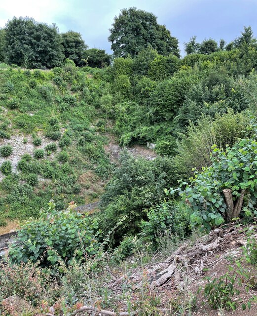
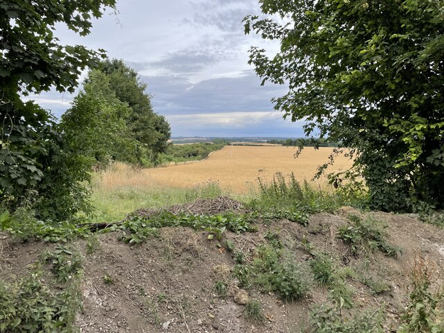
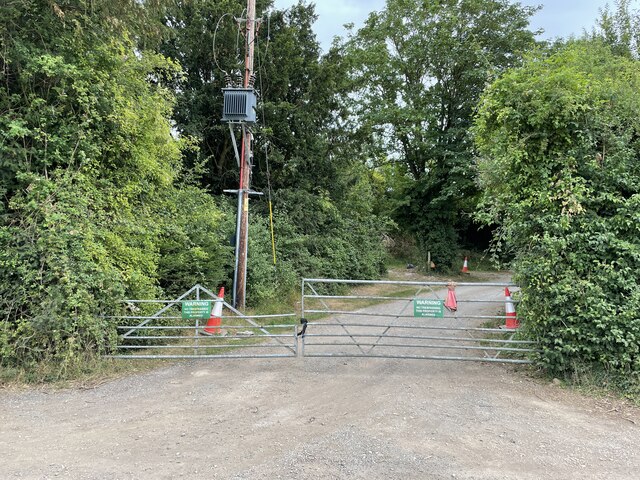
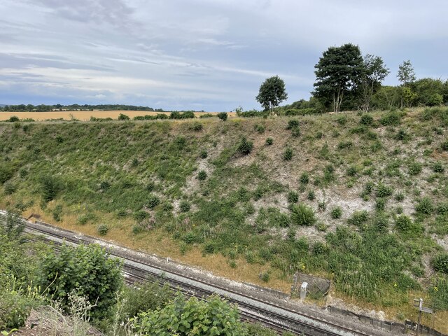
Bayley's Clump is a beautiful woodland located in the heart of Hampshire, England. Covering an area of approximately 100 acres, this charming forest is a popular destination for nature enthusiasts and outdoor adventurers alike.
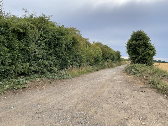
The woodland is characterized by its dense canopy of towering trees, predominantly oak and beech, which create a serene and peaceful atmosphere. The forest floor is covered in a thick layer of leaf litter, providing a soft cushion for hikers and creating a habitat for a diverse array of flora and fauna.
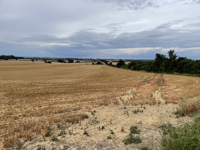
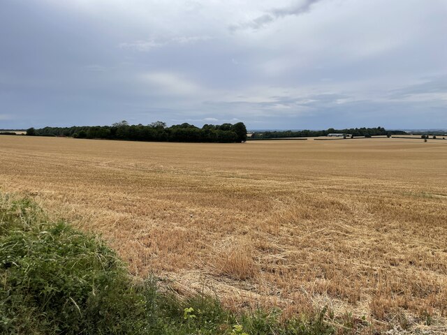
Trails wind their way through the forest, offering visitors the opportunity to explore this enchanting landscape. These paths range in difficulty, catering to both casual walkers and more experienced hikers. Along the way, visitors may come across babbling brooks, small meadows, and even a picturesque pond, all adding to the natural beauty of the area.
Bayley's Clump is also home to a variety of wildlife species. Birdwatchers can expect to spot woodpeckers, nuthatches, and various species of owls, while lucky visitors may even catch a glimpse of deer or foxes.
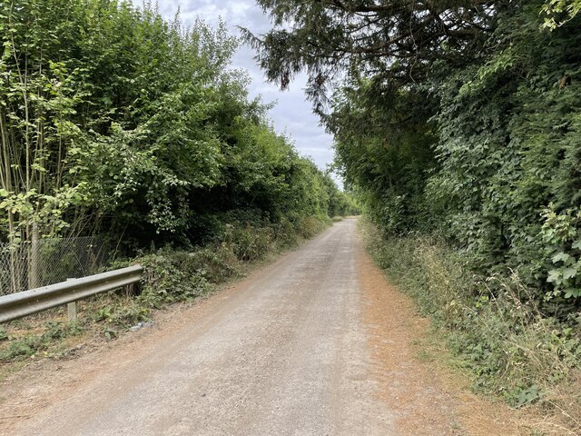
The forest is open to the public year-round, and visitors are encouraged to respect the natural surroundings and adhere to the designated walking paths. With its tranquil ambiance and stunning scenery, Bayley's Clump is a must-visit destination for those seeking solace in nature or simply looking to immerse themselves in the beauty of Hampshire's woodlands.
If you have any feedback on the listing, please let us know in the comments section below.
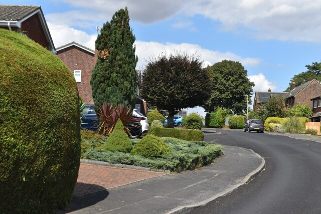
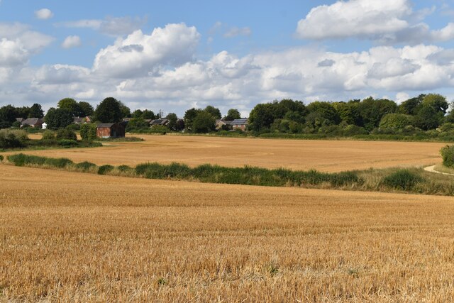
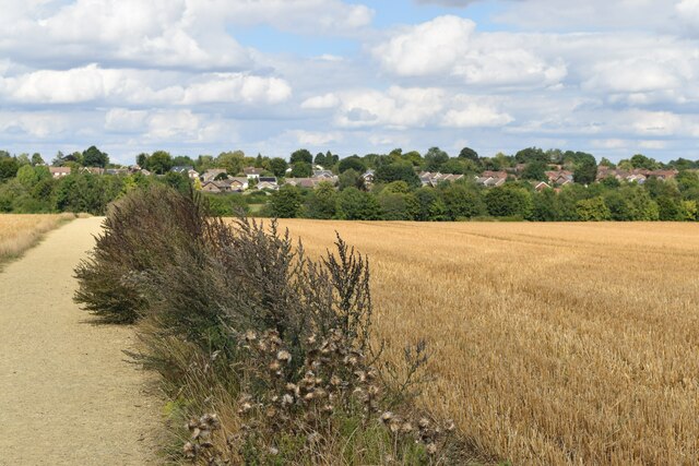
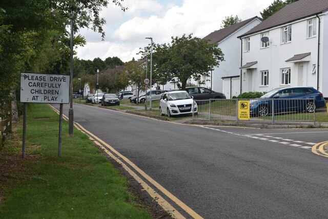
Bayley's Clump Images
Images are sourced within 2km of 51.122966/-1.3175385 or Grid Reference SU4736. Thanks to Geograph Open Source API. All images are credited.


Bayley's Clump is located at Grid Ref: SU4736 (Lat: 51.122966, Lng: -1.3175385)
Administrative County: Hampshire
District: Winchester
Police Authority: Hampshire
What 3 Words
///violinist.reseller.leaflet. Near Kings Worthy, Hampshire
Nearby Locations
Related Wikis
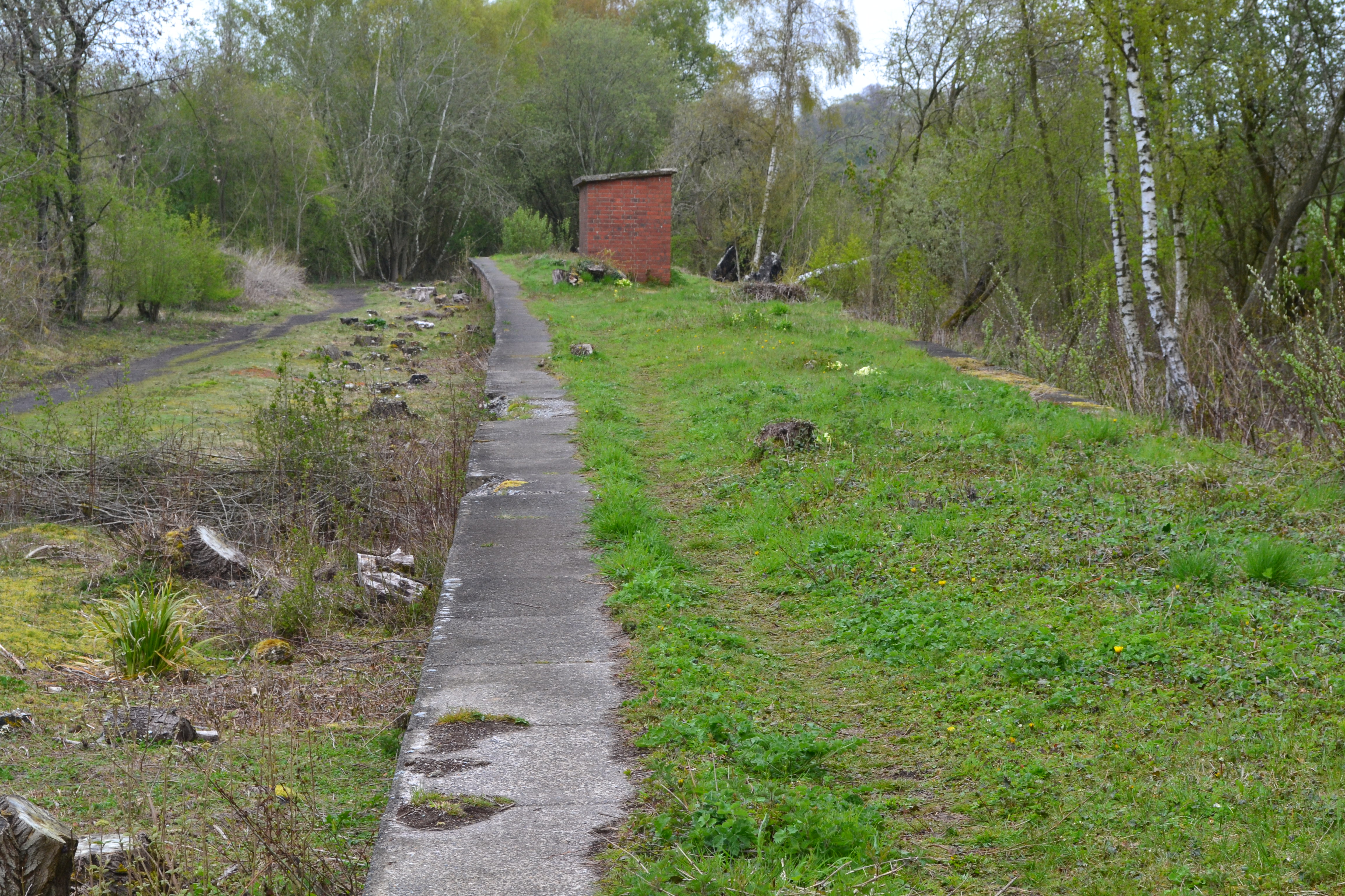
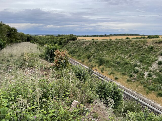
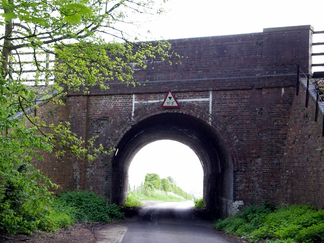
Worthy Down Halt railway station
Worthy Down Halt railway station was built in 1918 as a small single platform halt to serve the Royal Flying Corps (later RAF) depot nearby. It included...
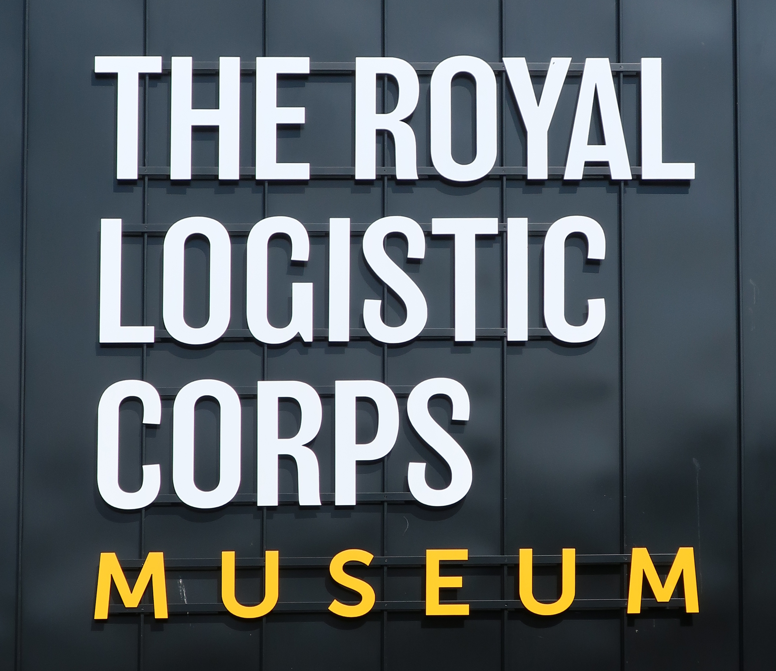
Royal Logistic Corps Museum
The Royal Logistic Corps Museum is based at Worthy Down near Winchester. It tells story of logistic support to the British Army from Agincourt to the...

South Wonston
South Wonston is a village on the outskirts of the City of Winchester district of Hampshire, England. The population of the parish of South Wonston was...
RAF Worthy Down
Royal Air Force Worthy Down, or simply RAF Worthy Down, was a Royal Air Force station built in 1918, 3.5 miles (6 km) north of Winchester, Hampshire, England...
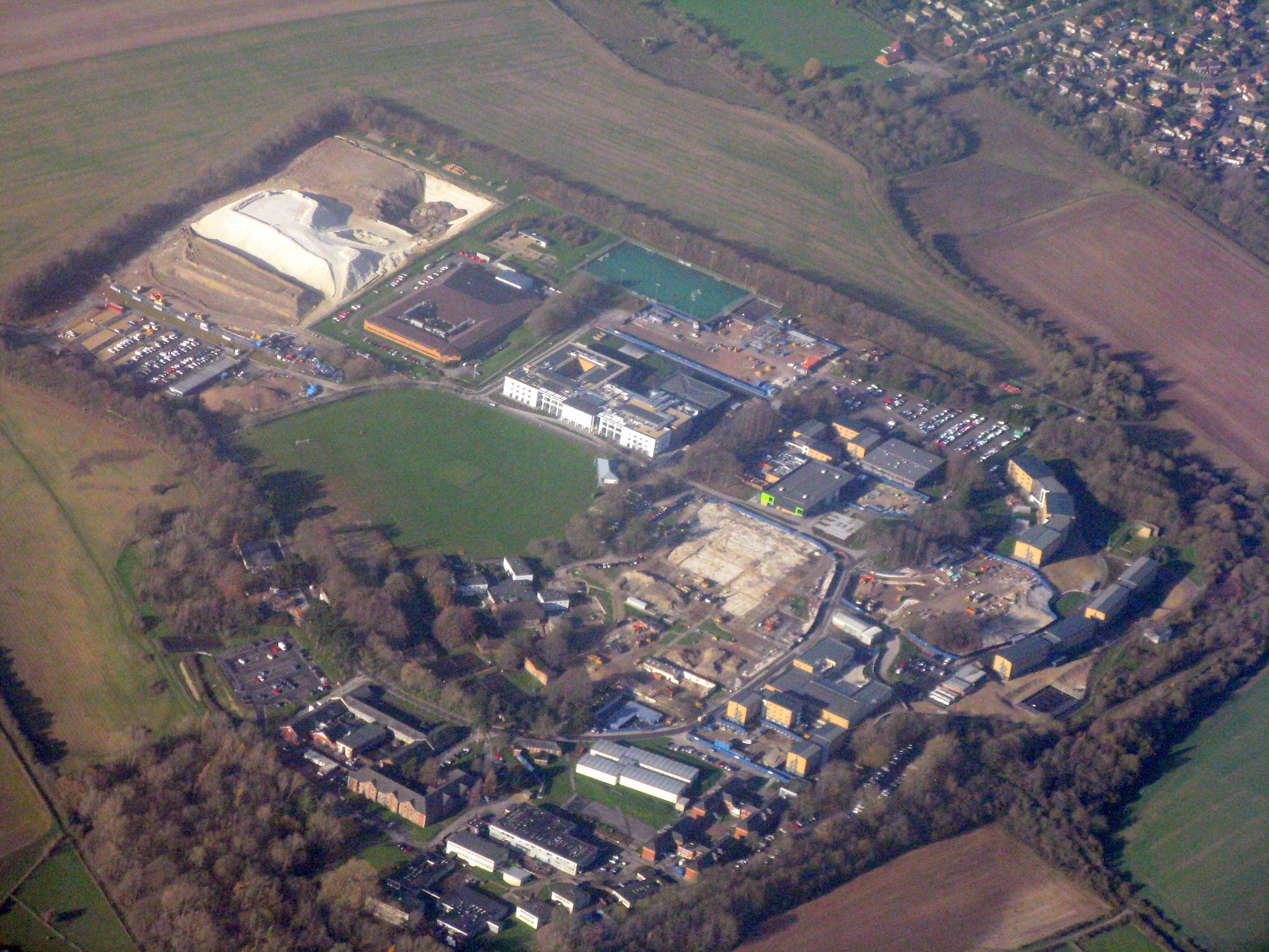
Worthy Down Camp
Worthy Down Camp is a tri-service establishment near Winchester, in Hampshire, England. It forms part of the wider Winchester Garrison and houses the headquarters...

Stoke Charity
Stoke Charity is a small village and former civil parish, now in the parish of Wonston, in the City of Winchester district of Hampshire, England. It is...
Wonston
Wonston is a village and civil parish in the City of Winchester district of Hampshire, England. The village had 1446 usual residents as of Census day 2011...
Weston Colley
Weston Colley is a hamlet of about twenty dwellings, adjacent to (and within the parish of) Micheldever, Winchester, Hampshire, England. It is within the...
Nearby Amenities
Located within 500m of 51.122966,-1.3175385Have you been to Bayley's Clump?
Leave your review of Bayley's Clump below (or comments, questions and feedback).