Drayton Green
Settlement in Middlesex
England
Drayton Green
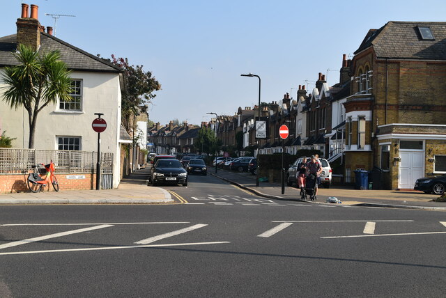
Drayton Green is a small residential area located in the London Borough of Ealing, Middlesex, England. Situated approximately 10 miles west of central London, it falls within the postal code area of W13. Primarily a residential district, Drayton Green is known for its quiet and peaceful atmosphere, making it an ideal place for families and working professionals seeking a suburban lifestyle.
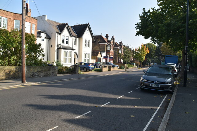
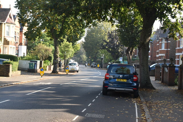
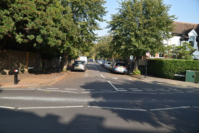
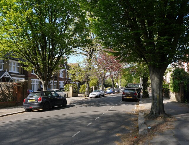
The area is characterized by a mix of Edwardian and Victorian-style houses, adding to its charm and appeal. The houses are mainly terraced and semi-detached, offering a range of accommodation options. Drayton Green Road, the main road running through the area, connects to the A4020 Uxbridge Road, providing convenient access to nearby towns and the city center.
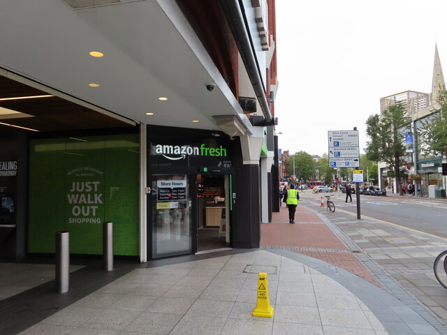
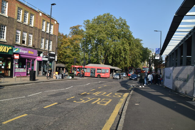
Residents of Drayton Green benefit from its proximity to various local amenities. The area is served by a selection of independent shops, cafes, and restaurants, catering to the daily needs of its inhabitants. The nearby West Ealing Market is a popular spot for fresh produce and a variety of goods.
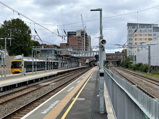
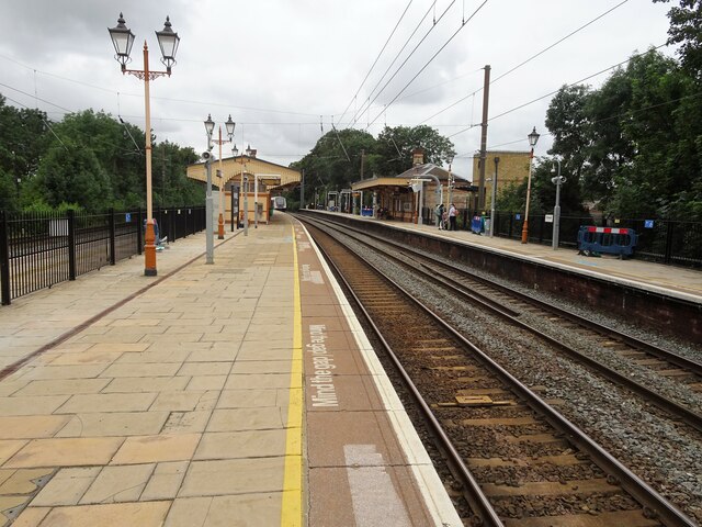
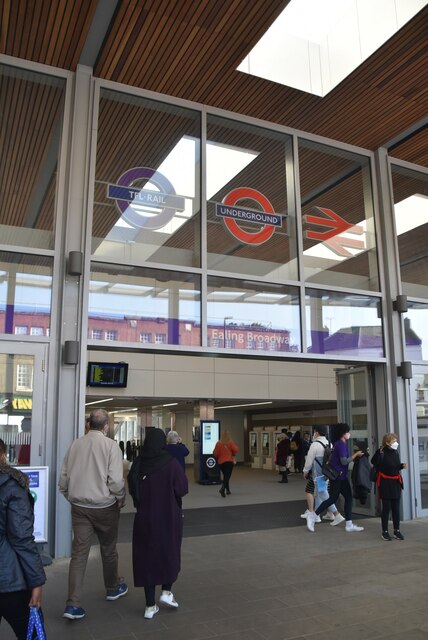
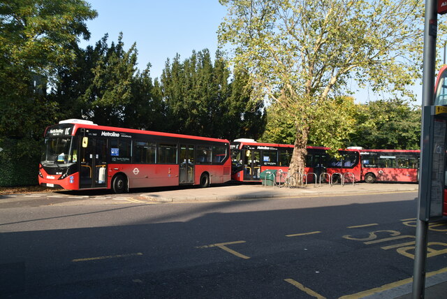
Transportation options in Drayton Green are plentiful, with the Drayton Green railway station providing regular services to London Paddington, making it an attractive location for commuters. Additionally, several bus routes serve the area, connecting it to neighboring towns and other parts of London.
With its peaceful ambiance, convenient location, and range of amenities, Drayton Green offers a pleasant and convenient living environment for its residents.
If you have any feedback on the listing, please let us know in the comments section below.
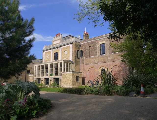
Drayton Green Images
Images are sourced within 2km of 51.515019/-0.326055 or Grid Reference TQ1680. Thanks to Geograph Open Source API. All images are credited.
Drayton Green is located at Grid Ref: TQ1680 (Lat: 51.515019, Lng: -0.326055)
Unitary Authority: Ealing
Police Authority: Metropolitan
What 3 Words
///factor.priced.plug. Near Ealing, London
Nearby Locations
Related Wikis
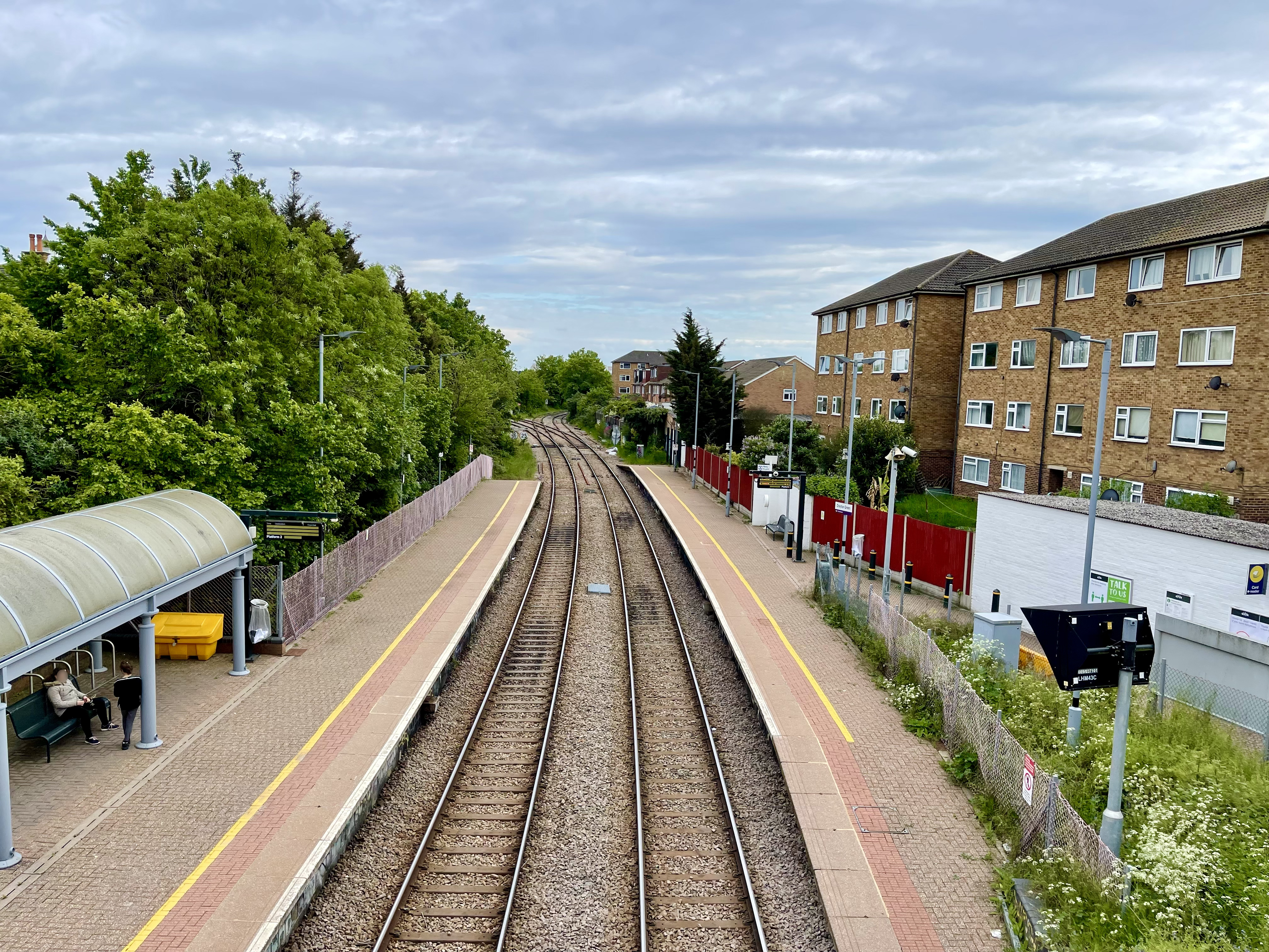
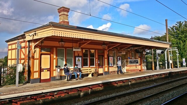
Drayton Green railway station
Drayton Green railway station is in the London Borough of Ealing in west London, and is in Travelcard Zone 4. It is on the Greenford branch line 41 chains...

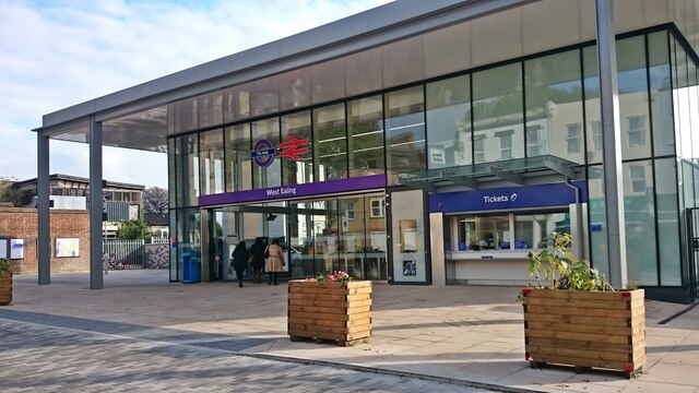
West Ealing railway station
West Ealing railway station is on the Great Western Main Line in Ealing, situated in west London. It is 6 miles 46 chains (10.6 km) down the line from...
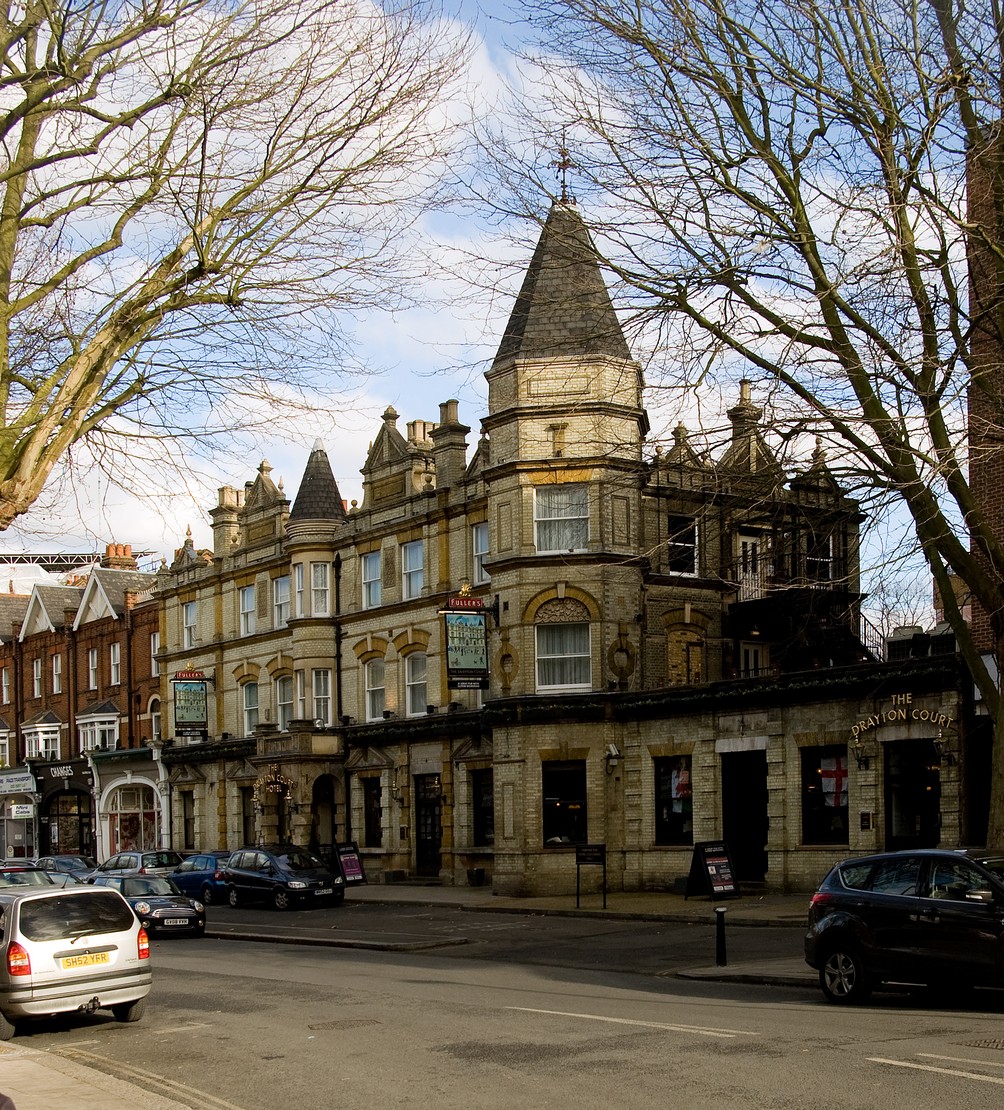
The Drayton Court
The Drayton Court is a boutique hotel and pub in Ealing, west London. The former Vietnamese revolutionary and statesman, Hồ Chí Minh, worked in the kitchens...
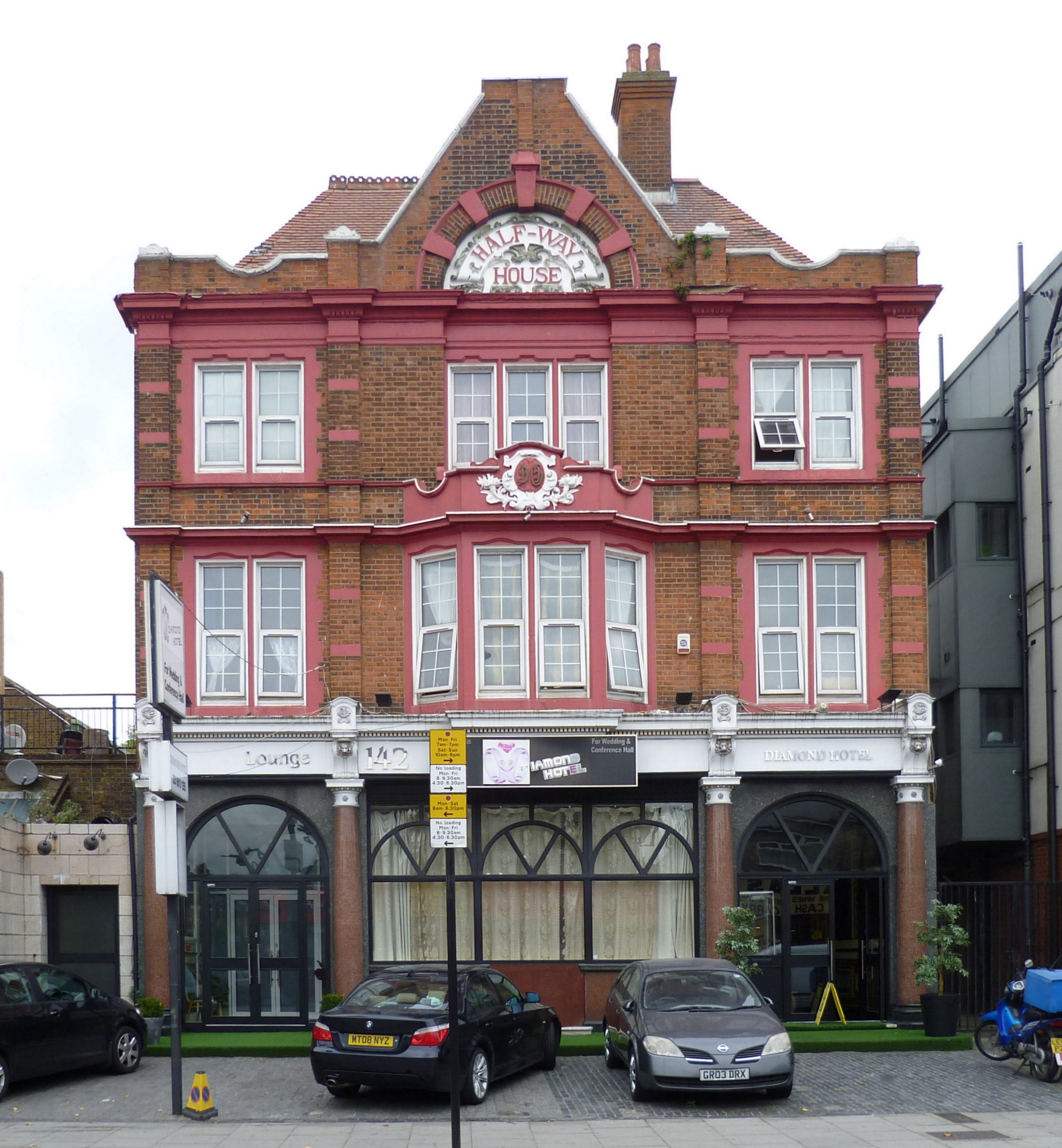
Half-Way House, West Ealing
The Half-Way House is a former inn at 142 Broadway, West Ealing, London, England. == History == The inn was originally known as the Old Hat, and was one...
Nearby Amenities
Located within 500m of 51.515019,-0.326055Have you been to Drayton Green?
Leave your review of Drayton Green below (or comments, questions and feedback).