Brockley Wood
Wood, Forest in Derbyshire Bolsover
England
Brockley Wood

Brockley Wood is a picturesque forest located in the county of Derbyshire, England. Covering an area of approximately 100 acres, the wood is nestled in the heart of the Peak District National Park, renowned for its stunning landscapes and natural beauty.
The wood is predominantly made up of broadleaf trees, including oak, beech, and birch, which create a dense canopy overhead, casting dappled sunlight onto the forest floor. The woodland is rich in biodiversity, providing a habitat for a wide range of plant and animal species. Visitors to Brockley Wood can expect to encounter an array of woodland flora, including bluebells, primroses, and wood sorrel, which create a vibrant tapestry of colors during the spring season.
Tranquility and peace are the hallmarks of this woodland retreat, making it a popular destination for nature enthusiasts and those seeking a respite from the hustle and bustle of everyday life. The wood offers several walking trails that wind through the trees, allowing visitors to immerse themselves in the natural surroundings and take in the sights and sounds of the forest.
In addition to its natural beauty, Brockley Wood also holds historical significance. The wood is believed to have ancient origins, with evidence of human activity dating back thousands of years. Archaeological finds in the area include prehistoric tools and pottery fragments, indicating that the wood has been a place of human habitation and activity throughout history.
Overall, Brockley Wood is a captivating destination that offers both natural beauty and a glimpse into the past. Whether it's for a peaceful stroll, wildlife spotting, or a historical exploration, this woodland gem has something to offer for everyone.
If you have any feedback on the listing, please let us know in the comments section below.
Brockley Wood Images
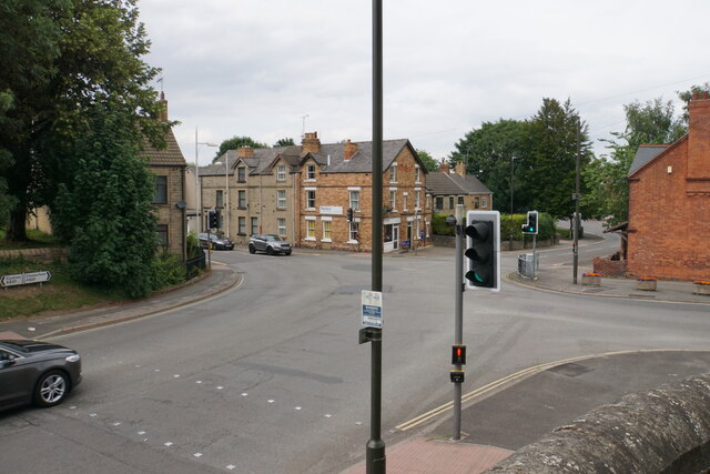
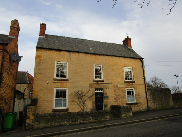
Images are sourced within 2km of 53.242949/-1.2862517 or Grid Reference SK4772. Thanks to Geograph Open Source API. All images are credited.


Brockley Wood is located at Grid Ref: SK4772 (Lat: 53.242949, Lng: -1.2862517)
Administrative County: Derbyshire
District: Bolsover
Police Authority: Derbyshire
What 3 Words
///herring.spindles.inspected. Near Bolsover, Derbyshire
Nearby Locations
Related Wikis

Shuttlewood
Shuttlewood is a village situated about 2 miles north of Bolsover, in Bolsover District, Derbyshire, England. It is centred on the crossroads of two main...

Bolsover Hospital
Bolsover Hospital was a community healthcare facility in Bolsover, Derbyshire. It was managed by Derbyshire Community Health Services NHS Foundation Trust...
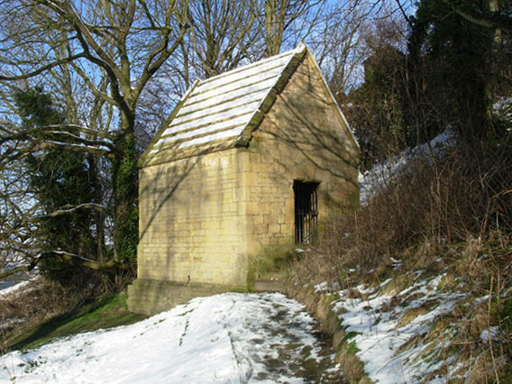
Bolsover Cundy House
Bolsover Cundy House is a restored 17th-century conduit house in Derbyshire, England, that was used to supply water to the nearby Bolsover Castle. It is...

Old Bolsover Town Council
Old Bolsover Town Council is the parish council for the civil parish of Old Bolsover in Derbyshire, England. It has responsibility for local issues in...

Bolsover
Bolsover is a market town and the administrative centre of the Bolsover District, Derbyshire, England. It is 18 miles (29 km) from Sheffield, 26 miles...

Bolsover Urban District
Bolsover was an Urban District in Derbyshire, England from 1894 to 1974. It was created under the Local Government Act 1894. The district was abolished...
Over Woodhouse
Over Woodhouse is a suburban area lying just North-West of Bolsover Towncentre, Derbyshire, just to the north of Bolsover Castle, on a hill facing it....

Bolsover Castle
Bolsover Castle is in the town of Bolsover (grid reference SK471707), in the north-east of the English county of Derbyshire. Built in the early 17th century...
Nearby Amenities
Located within 500m of 53.242949,-1.2862517Have you been to Brockley Wood?
Leave your review of Brockley Wood below (or comments, questions and feedback).