Beacon Covert

Wood, Forest in Yorkshire

England

Beacon Covert

Upton ROC post <span class="nowrap"><a title="https://www.subbrit.org.uk/sites/upton-roc-post/" rel="nofollow ugc noopener" href="https://www.subbrit.org.uk/sites/upton-roc-post/">Link</a><img style="margin-left:2px;" alt="External link" title="External link - shift click to open in new window" src="https://s1.geograph.org.uk/img/external.png" width="10" height="10"/></span>
Upton ROC post Credit: thejackrustles

Beacon Covert, located in Yorkshire, is a picturesque woodland area known for its natural beauty and tranquil atmosphere. Situated in the heart of the county, it covers a vast expanse of land that is home to a diverse range of flora and fauna.

The woodland is predominantly composed of broad-leaved trees, including oak, beech, and birch, which create a dense canopy and provide a habitat for various bird species such as woodpeckers and owls. The forest floor is adorned with an array of wildflowers, adding bursts of color to the landscape during spring and summer.

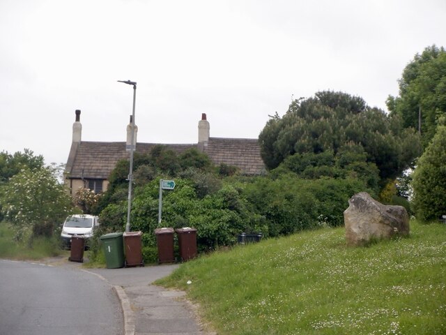
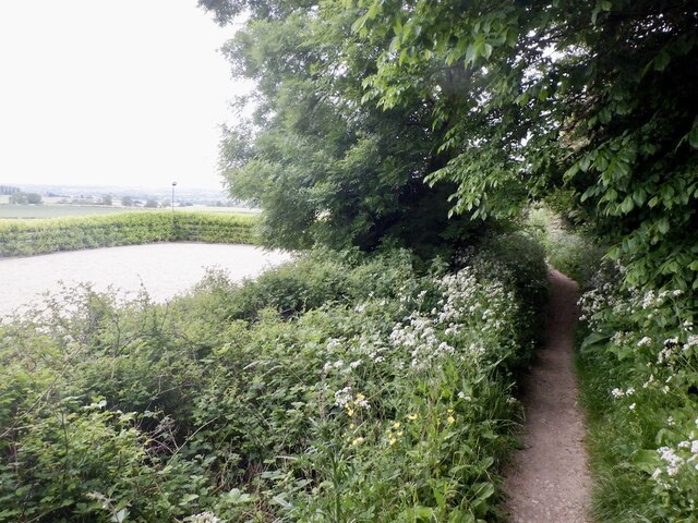
Beacon Covert is popular among hikers and nature enthusiasts due to its well-maintained trails that meander through the forest, offering breathtaking views and opportunities for wildlife spotting. The trails vary in difficulty, catering to both casual walkers and more experienced trekkers. Along the way, visitors may encounter deer, rabbits, and squirrels, adding to the enchanting ambiance of the woodland.

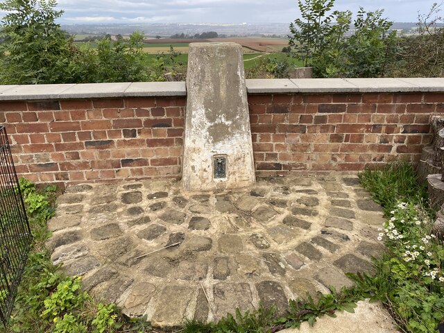
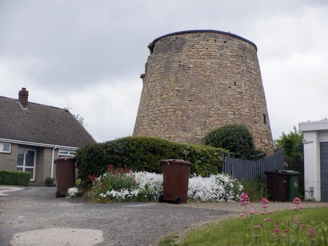
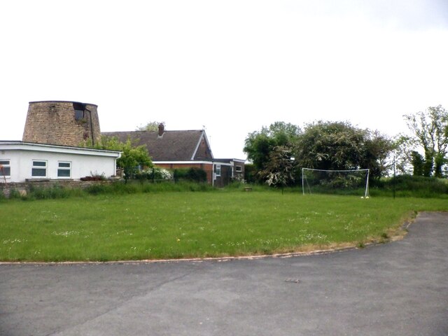
In addition to its natural charm, Beacon Covert also has historical significance. The area was once home to a beacon, which was lit as a signal during times of danger or to mark important occasions. Although the beacon no longer stands, remnants of its foundation can still be seen, providing a glimpse into the region's past.

Overall, Beacon Covert in Yorkshire is a captivating woodland destination that offers a peaceful retreat for those seeking solace in nature. With its diverse ecosystem and rich history, it provides a truly immersive experience for visitors of all ages.

If you have any feedback on the listing, please let us know in the comments section below.

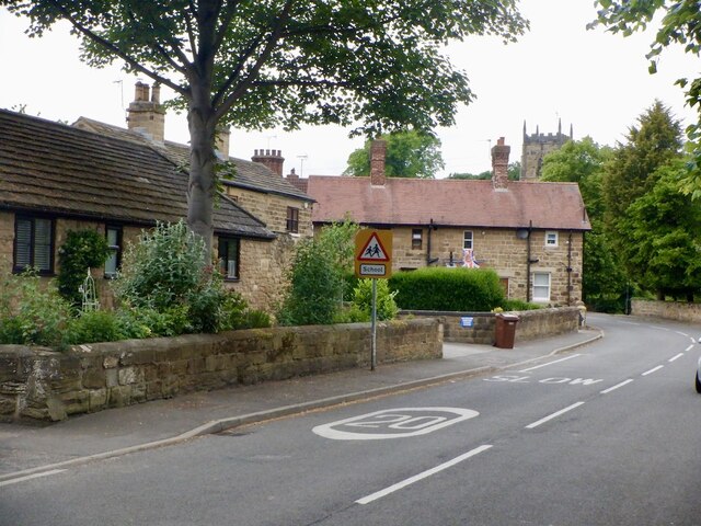
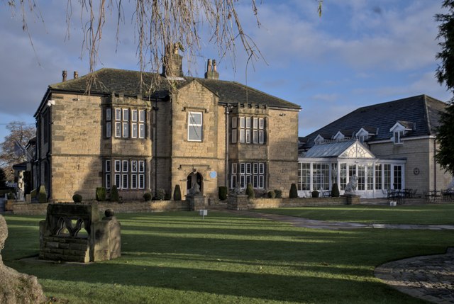
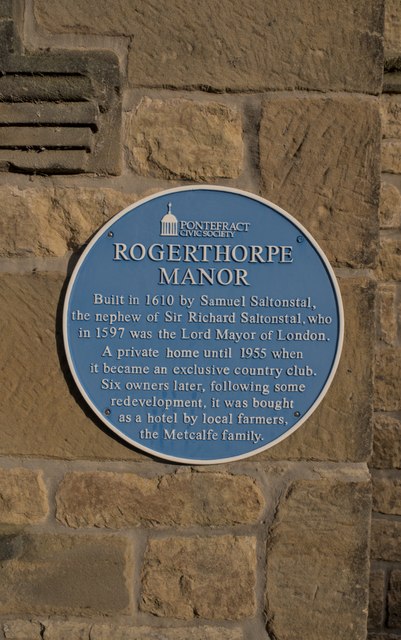
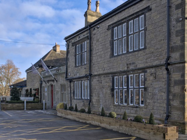
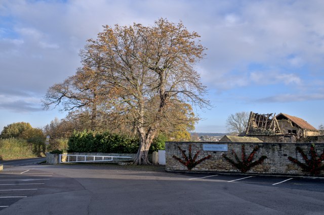
Beacon Covert Images

Images are sourced within 2km of 53.62298/-1.2827611 or Grid Reference SE4714. Thanks to Geograph Open Source API. All images are credited.

Upton ROC post <span class="nowrap"><a title="https://www.subbrit.org.uk/sites/upton-roc-post/" rel="nofollow ugc noopener" href="https://www.subbrit.org.uk/sites/upton-roc-post/">Link</a><img style="margin-left:2px;" alt="External link" title="External link - shift click to open in new window" src="https://s1.geograph.org.uk/img/external.png" width="10" height="10"/></span>
Upton ROC post
Upton Water Tower <span class="nowrap"><a title="http://trigpointing.uk/trig/13053" rel="nofollow ugc noopener" href="http://trigpointing.uk/trig/13053">Link</a><img style="margin-left:2px;" alt="External link" title="External link - shift click to open in new window" src="https://s1.geograph.org.uk/img/external.png" width="10" height="10"/></span>
Upton Water Tower
Upton Beacon Connecting Point Trig Point Flush Bracket S1743
Old milestone This is one of three remaining plated milestones on the 11.7 mile Red House (northern end of A1(M) Doncaster By-pass) to Crofton (east of Wakefield) turnpike first enacted in 1741.   The village of North Elmsall has been by-passed twice.   The milestone, standing at Milestone House on Hall Lane is well-cared for.  It is Grade II listed 1265112.
Old milestone
This is one of three remaining plated milestones on the 11.7 mile Red House (northern end of A1(M) Doncaster By-pass) to Crofton (east of Wakefield) turnpike first enacted in 1741. The village of North Elmsall has been by-passed twice. The milestone, standing at Milestone House on Hall Lane is well-cared for. It is Grade II listed 1265112.
Old milestone This West Riding CC milestone is deep in the ditch on the A639 near a bridleway.
One of 615 erected in 1893/94 in 12 months by Gill and Frank Stead, stonemasons, of Mirfield.  The work had to be done in 12 months or they would incur a penalty.   They did it, in spite of many having to be set up across the Pennines into Saddleworth and up to Sedbergh and as far as the Derbyshire border south of Rotherham.
Old milestone
This West Riding CC milestone is deep in the ditch on the A639 near a bridleway. One of 615 erected in 1893/94 in 12 months by Gill and Frank Stead, stonemasons, of Mirfield. The work had to be done in 12 months or they would incur a penalty. They did it, in spite of many having to be set up across the Pennines into Saddleworth and up to Sedbergh and as far as the Derbyshire border south of Rotherham.
Upper Beacon, Upton
Upper Beacon, Upton
Beacon Hill, Upton The road to the water tower.
Beacon Hill, Upton
The road to the water tower.
Upton Tower Mill A windmill on Beacon Hill.
Upton Tower Mill
A windmill on Beacon Hill.
Summit area, Beacon Hill Between the water tower and ruined windmill. A nearby triangulation pillar has been removed to a nearby garden.
Summit area, Beacon Hill
Between the water tower and ruined windmill. A nearby triangulation pillar has been removed to a nearby garden.
Path, Upton Beacon To Rodgerthorpe
Path, Upton Beacon
To Rodgerthorpe
Main Street, Badsworth
Rogerthorpe Manor Hotel A former manor house, with a history going back to the 17th century, which became an exclusive membership club after the second world war and is now a hotel.  The original Manor on the left of the conservatory is a grade II listed building - see <span class="nowrap"><a title="https://historicengland.org.uk/listing/the-list/list-entry/1235465?section=official-list-entry" rel="nofollow ugc noopener" href="https://historicengland.org.uk/listing/the-list/list-entry/1235465?section=official-list-entry">Link</a><img style="margin-left:2px;" alt="External link" title="External link - shift click to open in new window" src="https://s1.geograph.org.uk/img/external.png" width="10" height="10"/></span> .
Rogerthorpe Manor Hotel
A former manor house, with a history going back to the 17th century, which became an exclusive membership club after the second world war and is now a hotel. The original Manor on the left of the conservatory is a grade II listed building - see LinkExternal link .
The House Door Original entrance to Rogerthorpe Manor, see <a href="https://www.geograph.org.uk/photo/7654690">SE4615 : Rogerthorpe Manor Hotel</a>.
The House Door
Original entrance to Rogerthorpe Manor, see SE4615 : Rogerthorpe Manor Hotel.
Blue Plaque Historical marker from the Pontefract Civic Society, seen in situ on Rogerthorpe Manor Hotel in <a href="https://www.geograph.org.uk/photo/7654703">SE4615 : The House Door</a>.
Blue Plaque
Historical marker from the Pontefract Civic Society, seen in situ on Rogerthorpe Manor Hotel in SE4615 : The House Door.
Rogerthorpe Manor Hotel The modern hotel entrance is in what used to be a courtyard behind the old manor house.  This is a grade II listed building - see <span class="nowrap"><a title="https://historicengland.org.uk/listing/the-list/list-entry/1235465?section=official-list-entry" rel="nofollow ugc noopener" href="https://historicengland.org.uk/listing/the-list/list-entry/1235465?section=official-list-entry">Link</a><img style="margin-left:2px;" alt="External link" title="External link - shift click to open in new window" src="https://s1.geograph.org.uk/img/external.png" width="10" height="10"/></span> .
Rogerthorpe Manor Hotel
The modern hotel entrance is in what used to be a courtyard behind the old manor house. This is a grade II listed building - see LinkExternal link .
Tree by the car park The hotel car park at <a href="https://www.geograph.org.uk/photo/7654690">SE4615 : Rogerthorpe Manor Hotel</a>, with autumnal tree.
Tree by the car park
The hotel car park at SE4615 : Rogerthorpe Manor Hotel, with autumnal tree.
A rural  bus stop Bus stop at the gate of the Rogerthorpe Manor Hotel.  Route 39 from  Barnsley to Pontefract plies this route.
A rural bus stop
Bus stop at the gate of the Rogerthorpe Manor Hotel. Route 39 from Barnsley to Pontefract plies this route.
Rogerthorpe Manor Farm A collection of barns, one in less than pristine condition.
Rogerthorpe Manor Farm
A collection of barns, one in less than pristine condition.
Show me another place!

Beacon Covert is located at Grid Ref: SE4714 (Lat: 53.62298, Lng: -1.2827611)

Division: West Riding

Unitary Authority: Wakefield

Police Authority: West Yorkshire

What 3 Words

///relaxing.spud.buck. Near Upton, West Yorkshire

Related Wikis

Upton, West Yorkshire

Upton is a village and civil parish in West Yorkshire, England. It had a population of 3,541 in the 2001 census.It is situated south of Badsworth and...

Badsworth

Badsworth is a village and civil parish in the City of Wakefield metropolitan borough in West Yorkshire, England. According to the 2001 census it had a...

Upton Colliery

Upton Colliery was a coal mine near to the village of Upton in the West Riding of Yorkshire, England. The site was 8.5 miles (13.7 km) north west of Doncaster...

Upton and North Elmsall railway station

Upton and North Elmsall railway station, was a railway station on the Hull and Barnsley Railway (H&B) in Yorkshire, England. The station served the villages...

North Elmsall

North Elmsall ( EM-səl) is a village and civil parish in the City of Wakefield district in West Yorkshire, England. It had a population of 4,093 in 2001...

Thorpe Audlin

Thorpe Audlin is a hamlet and civil parish in the City of Wakefield in West Yorkshire, England. The population of the civil parish at the 2011 census was...

Wrangbrook Junction

Wrangbrook Junction near Upton in West Yorkshire was a location where two lines branched off the Hull and Barnsley Railway main line from Hull Cannon Street...

Ackworth, North Elmsall and Upton

Ackworth, North Elmsall and Upton is an electoral ward of the City of Wakefield district used for elections to Wakefield Metropolitan District Council...

Nearby Amenities

Located within 500m of 53.62298,-1.2827611
Created By: Merkaartor 0.12
Lat/Long: 53.6194209/-1.2858939
Created By: Merkaartor 0.12
Lat/Long: 53.6196349/-1.286021
Created By: Merkaartor 0.12
Lat/Long: 53.621093/-1.288719
Created By: Merkaartor 0.12
Lat/Long: 53.621278/-1.2891029
Created By: Merkaartor 0.12
Lat/Long: 53.621512/-1.289457
Man Made: water_tower
Lat/Long: 53.6198474/-1.2838024
Crossing
Lat/Long: 53.6247566/-1.2860287
Generator Method: photovoltaic
Generator Output Electricity: yes
Generator Source: solar
Generator Type: solar_photovoltaic_panel
Location: roof
Power: generator
Lat/Long: 53.6202387/-1.2858617
The data included in this document is from www.openstreetmap.org. The data is made available under ODbL.

Have you been to Beacon Covert?

Leave your review of Beacon Covert below (or comments, questions and feedback).