West Plantation

Wood, Forest in Yorkshire

England

West Plantation

Tees Valley Hospital Tees Valley Hospital is a private hospital owned by Ramsey Health Care, built in 2018.
Tees Valley Hospital Credit: David Robinson

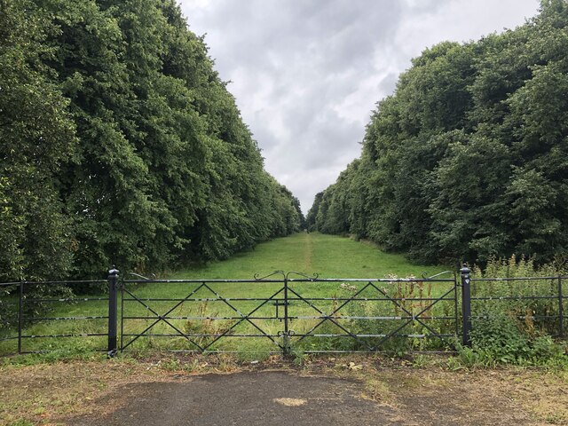
West Plantation, Yorkshire (Wood, Forest) is a picturesque woodland area located in the heart of Yorkshire, England. Covering an expansive area of approximately 500 acres, it is a haven for nature enthusiasts and a popular destination for outdoor activities.

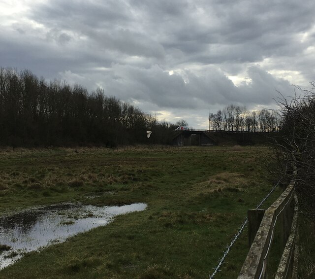
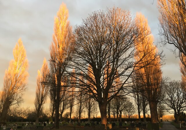
The woodland is characterized by its diverse range of tree species, including oak, ash, beech, and birch, which create a vibrant and enchanting atmosphere all year round. The dense canopy provides a haven for a variety of wildlife, including red squirrels, deer, and a plethora of bird species, making it a haven for birdwatchers and wildlife photographers.

A network of well-maintained trails and footpaths wind their way through the woodland, offering visitors the opportunity to explore and discover its hidden treasures. These paths vary in difficulty, catering to both casual walkers and avid hikers. Along the trails, one can find secluded picnic spots, a perfect place to rest and enjoy the tranquility of the surroundings.

West Plantation is also renowned for its remarkable history and cultural significance. It is believed to have been a site of human habitation for centuries, with archaeological evidence suggesting ancient settlements and burial mounds. The woodland’s rich history is further enhanced by the presence of ruins of an old mill, which adds an eerie charm to the landscape.

In summary, West Plantation, Yorkshire (Wood, Forest) is a captivating woodland retreat that offers a unique blend of natural beauty, wildlife, and historical significance. It is a sanctuary where visitors can immerse themselves in the serenity of nature and explore the wonders of Yorkshire's countryside.

If you have any feedback on the listing, please let us know in the comments section below.

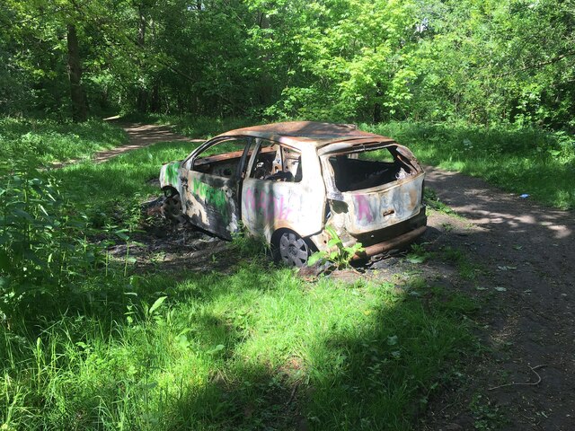
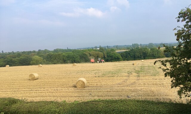
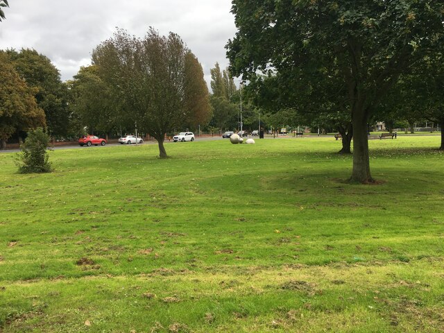
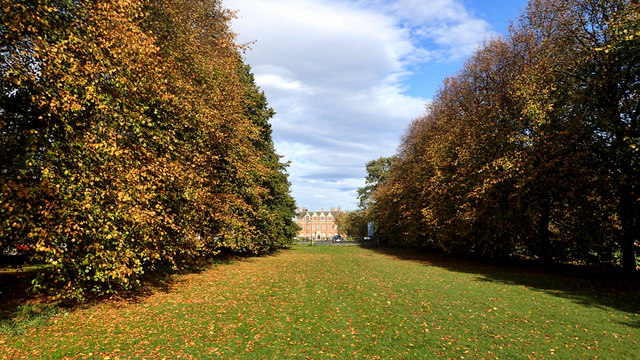
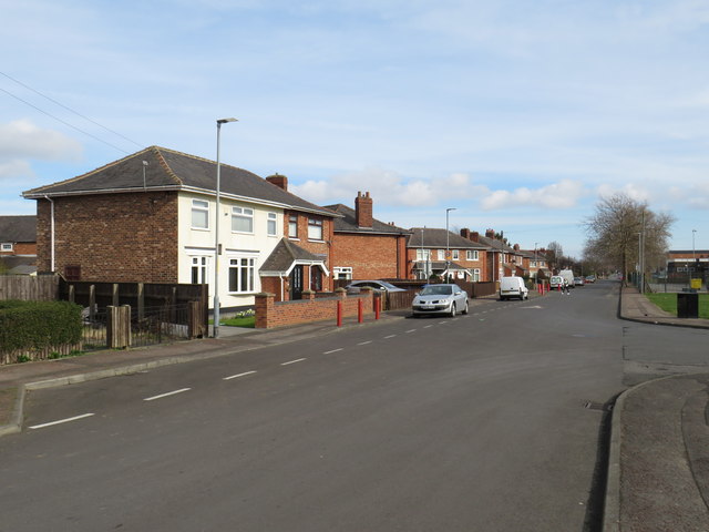
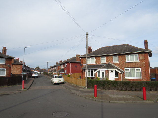
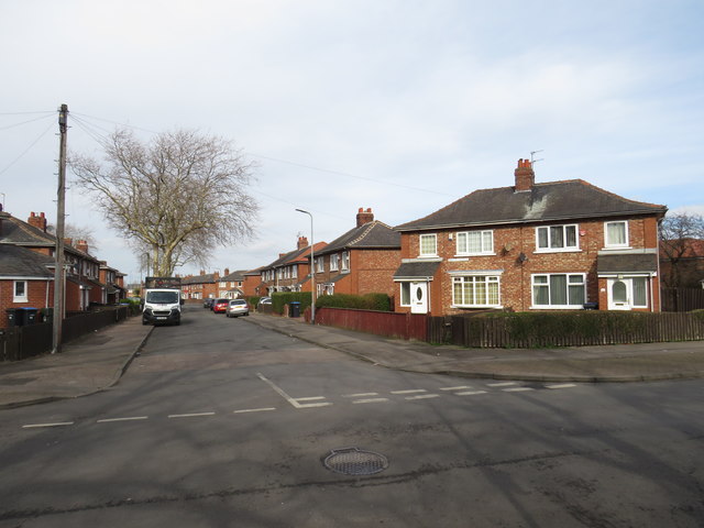
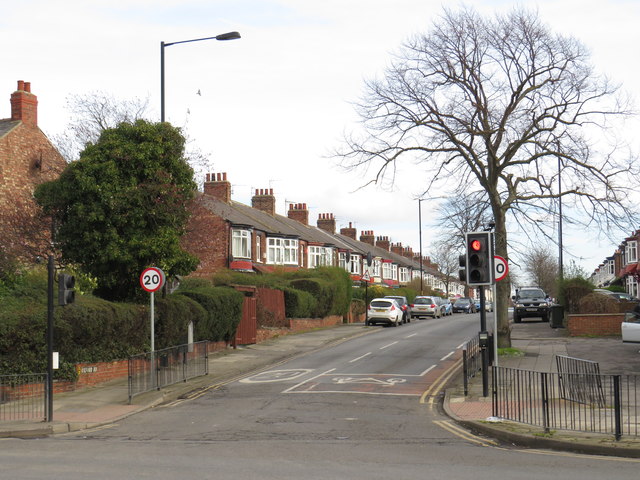
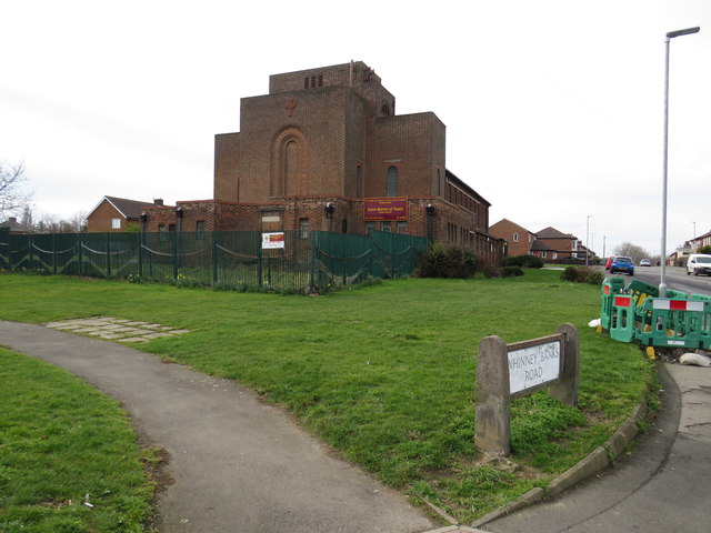
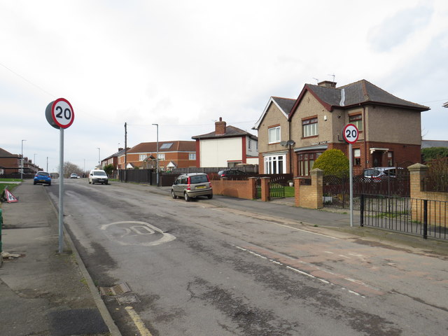
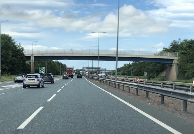
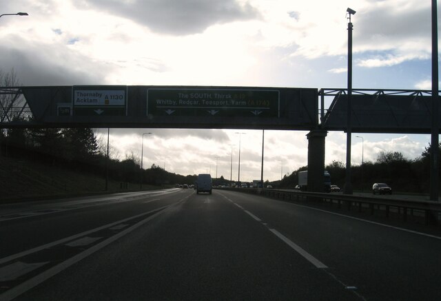
West Plantation Images

Images are sourced within 2km of 54.539396/-1.2675161 or Grid Reference NZ4716. Thanks to Geograph Open Source API. All images are credited.

Tees Valley Hospital Tees Valley Hospital is a private hospital owned by Ramsey Health Care, built in 2018.
Tees Valley Hospital
Tees Valley Hospital is a private hospital owned by Ramsey Health Care, built in 2018.
The Avenue of Trees Tracing the original route to the front of Grade I listed former mansion, Acklam Hall. The vast majority of the Hall's former land has been swallowed up into the suburbs of Middlesbrough. The Hall is today a wedding venue and also houses conference facilities and a restaurant.
The Avenue of Trees
Tracing the original route to the front of Grade I listed former mansion, Acklam Hall. The vast majority of the Hall's former land has been swallowed up into the suburbs of Middlesbrough. The Hall is today a wedding venue and also houses conference facilities and a restaurant.
The Fleet Horse pastures between the Fleet and Thornaby cemetery. The photo includes a barn owl hunting in daylight.
The Fleet
Horse pastures between the Fleet and Thornaby cemetery. The photo includes a barn owl hunting in daylight.
Old River Tees sculpture Part of the River Tees Rediscovered sculpture trail. This is No. 10 out of 25 and is titled “Old River Tees Rewilding”.
Old River Tees sculpture
Part of the River Tees Rediscovered sculpture trail. This is No. 10 out of 25 and is titled “Old River Tees Rewilding”.
Thornaby cemetery  Thornaby cemetery as the sun is setting highlighting the Poplar trees.
Thornaby cemetery
Thornaby cemetery as the sun is setting highlighting the Poplar trees.
Stainsby Wood Burnt out car in Stainsby Wood gradually being reclaimed by nature including a Robin’s nest in the door.
Stainsby Wood
Burnt out car in Stainsby Wood gradually being reclaimed by nature including a Robin’s nest in the door.
Harvest time A view of farmland between Thornaby and Acklam.
Harvest time
A view of farmland between Thornaby and Acklam.
Green space near Teesdale Park
Acklam Hall A magnificent avenue of trees, one kilometre long leading to the Grade 1 listed Acklam Hall built by Sir William Hustler around 1680. The house has notable interior joinery and plasterwork, which have somehow survived its latter 20th-century life as a school. It is now a business centre, wedding venue and restaurant.

From my blog <span class="nowrap"><a title="http://www.fhithich.uk/?p=20355" rel="nofollow ugc noopener" href="http://www.fhithich.uk/?p=20355">Link</a><img style="margin-left:2px;" alt="External link" title="External link - shift click to open in new window" src="https://s1.geograph.org.uk/img/external.png" width="10" height="10"/></span>
Acklam Hall
A magnificent avenue of trees, one kilometre long leading to the Grade 1 listed Acklam Hall built by Sir William Hustler around 1680. The house has notable interior joinery and plasterwork, which have somehow survived its latter 20th-century life as a school. It is now a business centre, wedding venue and restaurant. From my blog LinkExternal link
Stainsby Road, Middlesbrough Stainsby Road is a residential street in the suburbs of Middlesbrough.
Stainsby Road, Middlesbrough
Stainsby Road is a residential street in the suburbs of Middlesbrough.
Derby Avenue, Middlesbrough Derby Avenue is a residential street in the suburbs of Middlesbrough.
Derby Avenue, Middlesbrough
Derby Avenue is a residential street in the suburbs of Middlesbrough.
Bruce Avenue, Middlesbrough Bruce Avenue is a residential street in Middlesbrough's suburbs.
Bruce Avenue, Middlesbrough
Bruce Avenue is a residential street in Middlesbrough's suburbs.
Acklam Road, Middlesbrough Acklam Road forms part of the A1032 in the suburbs of Middlesbrough.
Acklam Road, Middlesbrough
Acklam Road forms part of the A1032 in the suburbs of Middlesbrough.
Oxford Road, Middlesbrough Oxford Road in the suburbs of Middlesbrough.
Oxford Road, Middlesbrough
Oxford Road in the suburbs of Middlesbrough.
St Martin of Tours church, Middlesbrough The church of St Martin of Tours, in the suburbs of Middlesbrough.
St Martin of Tours church, Middlesbrough
The church of St Martin of Tours, in the suburbs of Middlesbrough.
Whinney Banks Road, Middlesbrough Whinney Banks Road is a residential street in the suburbs of Middlesbrough.
Whinney Banks Road, Middlesbrough
Whinney Banks Road is a residential street in the suburbs of Middlesbrough.
Pedestrian Bridge Over A19
A19 southbound
A19 southbound
Show me another place!

West Plantation is located at Grid Ref: NZ4716 (Lat: 54.539396, Lng: -1.2675161)

Division: North Riding

Unitary Authority: Middlesbrough

Police Authority: Redcar and Cleveland

What 3 Words

///song.soup.grain. Near Thornaby-on-Tees, Co. Durham

Related Wikis

Acklam Grange School

Acklam Grange School is a co-educational secondary school located at Lodore Grove, Acklam, Middlesbrough, England.The school opened in 1952 as Hugh Bell...

St David's School, Middlesbrough

St David's School was a Roman Catholic Technology College in Acklam, Middlesbrough, North Yorkshire, England, specialising in Mathematics, Science, Technology...

Stainsby, North Yorkshire

Stainsby, in North Yorkshire, England, is an abandoned village near the Acklam suburb of Middlesbrough and town of Thornaby. Little more than mounds near...

Acklam, Middlesbrough

Acklam is an area in the Borough of Middlesbrough, North Yorkshire, England. It is believed that the settlement is Anglo-Saxon in origin, the name is Old...

Acklam Hall

Acklam Hall is a Restoration mansion in the former village, and now suburb, of Acklam in Middlesbrough, North Yorkshire, England. It is a Grade I listed...

King's Manor School

King's Manor School was a secondary school in Acklam, Middlesbrough, England. It merged with Hall Garth Community Arts College in 2010 to create Oakfields...

Thornaby Academy

Thornaby Academy (formerly Thornaby Community School) is a coeducational secondary school located in Thornaby-on-Tees in the Borough of Stockton-on-Tees...

Outwood Academy Acklam

Outwood Academy Acklam (formerly Oakfields Community College) is a comprehensive secondary school with academy status, located in the Acklam area of Middlesbrough...

Nearby Amenities

Located within 500m of 54.539396,-1.2675161
Mini Roundabout
Lat/Long: 54.5392469/-1.2627448
Public Transport: stop_position
Lat/Long: 54.5399774/-1.2622334
Pub
The Grenadier
Lat/Long: 54.5386007/-1.2624224
Spar
Brand: Spar
Brand Wikidata: Q610492
Brand Wikipedia: en:Spar (retailer)
Shop: supermarket
Lat/Long: 54.5378165/-1.2620201
Direction: 155
Generator Method: photovoltaic
Generator Output Electricity: yes
Generator Solar Modules: 9
Generator Source: solar
Generator Type: solar_photovoltaic_panel
Location: roof
Power: generator
Lat/Long: 54.5376564/-1.2645655
Direction: 185
Generator Method: photovoltaic
Generator Output Electricity: yes
Generator Solar Modules: 48
Generator Source: solar
Generator Type: solar_photovoltaic_panel
Location: roof
Power: generator
Lat/Long: 54.539336/-1.2622271
Generator Method: photovoltaic
Generator Output Electricity: yes
Generator Source: solar
Generator Type: solar_photovoltaic_panel
Location: roof
Power: generator
Lat/Long: 54.5406835/-1.2603147
Generator Method: photovoltaic
Generator Output Electricity: yes
Generator Source: solar
Generator Type: solar_photovoltaic_panel
Location: roof
Power: generator
Lat/Long: 54.5406057/-1.2600599
Generator Method: photovoltaic
Generator Output Electricity: yes
Generator Source: solar
Generator Type: solar_photovoltaic_panel
Location: roof
Power: generator
Lat/Long: 54.5412685/-1.2631538
Generator Method: photovoltaic
Generator Output Electricity: yes
Generator Source: solar
Generator Type: solar_photovoltaic_panel
Location: roof
Power: generator
Lat/Long: 54.5417003/-1.263477
Generator Method: photovoltaic
Generator Output Electricity: yes
Generator Source: solar
Generator Type: solar_photovoltaic_panel
Location: roof
Power: generator
Lat/Long: 54.541582/-1.2631216
Crossing
Crossing: marked
Lat/Long: 54.5392347/-1.262349
Playground: swing
Lat/Long: 54.5391738/-1.2611457
Playground: structure
Lat/Long: 54.5391139/-1.2608882
Playground: springy
Lat/Long: 54.5391302/-1.2607287
Playground: springy
Lat/Long: 54.53911/-1.2607608
Playground: springy
Lat/Long: 54.5391007/-1.2607233
Playground: roundabout
Lat/Long: 54.5390096/-1.2599656
Playground: climbingframe
Lat/Long: 54.539026/-1.2603558
Bench
Backrest: no
Direction: 85
Material: metal
Lat/Long: 54.5391131/-1.2609513
Waste Basket
Lat/Long: 54.5391987/-1.2612986
Waste Basket
Lat/Long: 54.5391793/-1.2608064
Waste Basket
Lat/Long: 54.539068/-1.2604484
Baby: yes
Playground: swing
Lat/Long: 54.5390719/-1.2605919
Playground: basketswing
Lat/Long: 54.5390859/-1.2606401
Playground: swingrotator
Lat/Long: 54.538986/-1.2601708
Playground: standingswing
Lat/Long: 54.5390031/-1.2600554
Playground: basketrotator
Lat/Long: 54.5390537/-1.2607669
Entrance: main
Lat/Long: 54.5392725/-1.2623381
Bicycle Parking
Bicycle Parking: stands
Capacity: 6
Covered: yes
Lat/Long: 54.5391761/-1.262346
Pharmacy
Cohens Chemist
Brand: Cohens Chemist
Brand Wikidata: Q107998495
Dispensing: yes
Healthcare: pharmacy
Lat/Long: 54.5393093/-1.2624392
The data included in this document is from www.openstreetmap.org. The data is made available under ODbL.

Have you been to West Plantation?

Leave your review of West Plantation below (or comments, questions and feedback).