Bunkershill Copse
Wood, Forest in Oxfordshire Cherwell
England
Bunkershill Copse

Bunkershill Copse is a lush woodland located in Oxfordshire, England. Covering an area of approximately 100 acres, it is a stunning natural haven that offers visitors a tranquil escape from the bustling city life. The copse is situated near the village of Chipping Norton and is easily accessible by various means of transportation.
The copse is predominantly composed of deciduous trees, including oak, beech, and birch, which create a vibrant canopy during the summer months. The forest floor is covered in a rich carpet of ferns, bluebells, and other wildflowers, adding to the copse's enchanting beauty.
Nature enthusiasts and hikers are drawn to Bunkershill Copse due to its extensive network of well-maintained trails that wind through the woodland. These paths offer opportunities for leisurely walks, jogging, or even horseback riding, making it an ideal destination for outdoor activities.
The copse is also home to a diverse array of wildlife, including deer, foxes, and a wide variety of bird species. Birdwatchers can spot woodpeckers, thrushes, and owls among the treetops. Additionally, the copse is known for its many butterfly species, providing a delightful sight for nature lovers.
Bunkershill Copse is a popular spot for picnics and family outings, offering numerous picnic areas and benches strategically placed throughout the woodland. The copse's peaceful atmosphere and picturesque surroundings make it an ideal location for relaxation and reconnecting with nature.
Overall, Bunkershill Copse in Oxfordshire is a charming woodland that offers an idyllic escape for those seeking tranquility, natural beauty, and outdoor recreation.
If you have any feedback on the listing, please let us know in the comments section below.
Bunkershill Copse Images
Images are sourced within 2km of 51.859383/-1.3118885 or Grid Reference SP4718. Thanks to Geograph Open Source API. All images are credited.


Bunkershill Copse is located at Grid Ref: SP4718 (Lat: 51.859383, Lng: -1.3118885)
Administrative County: Oxfordshire
District: Cherwell
Police Authority: Thames Valley
What 3 Words
///resonates.mentioned.tripled. Near Woodstock, Oxfordshire
Nearby Locations
Related Wikis
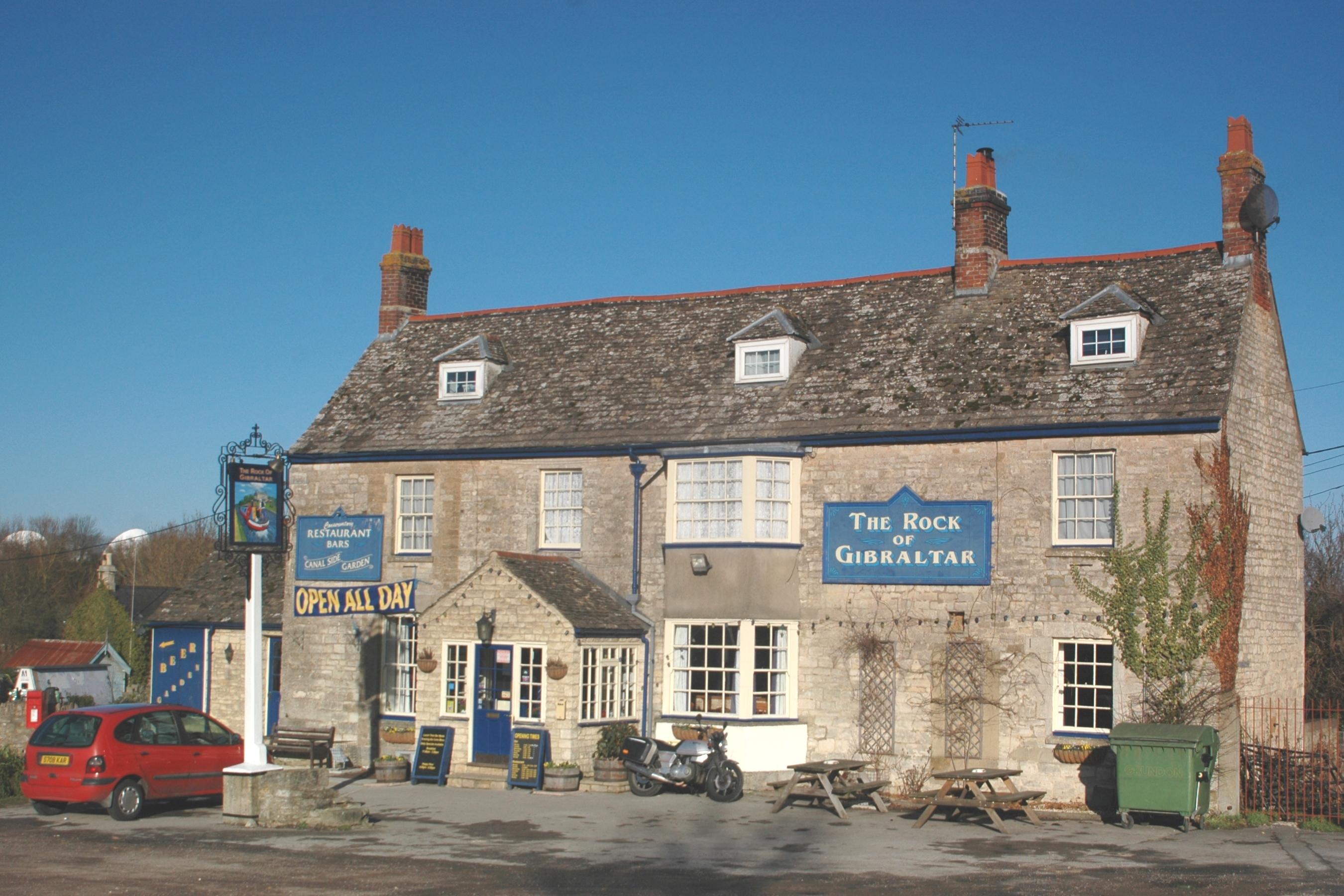
Enslow
Enslow is a hamlet on the banks of both the River Cherwell and the Oxford Canal in Bletchingdon civil parish, Oxfordshire. The medieval main road linking...
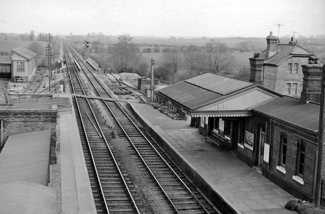
Bletchington railway station
Bletchington railway station is a disused station in Oxfordshire at Enslow, England, a hamlet 1.25 miles (2 km) west of the village of Bletchingdon. The...
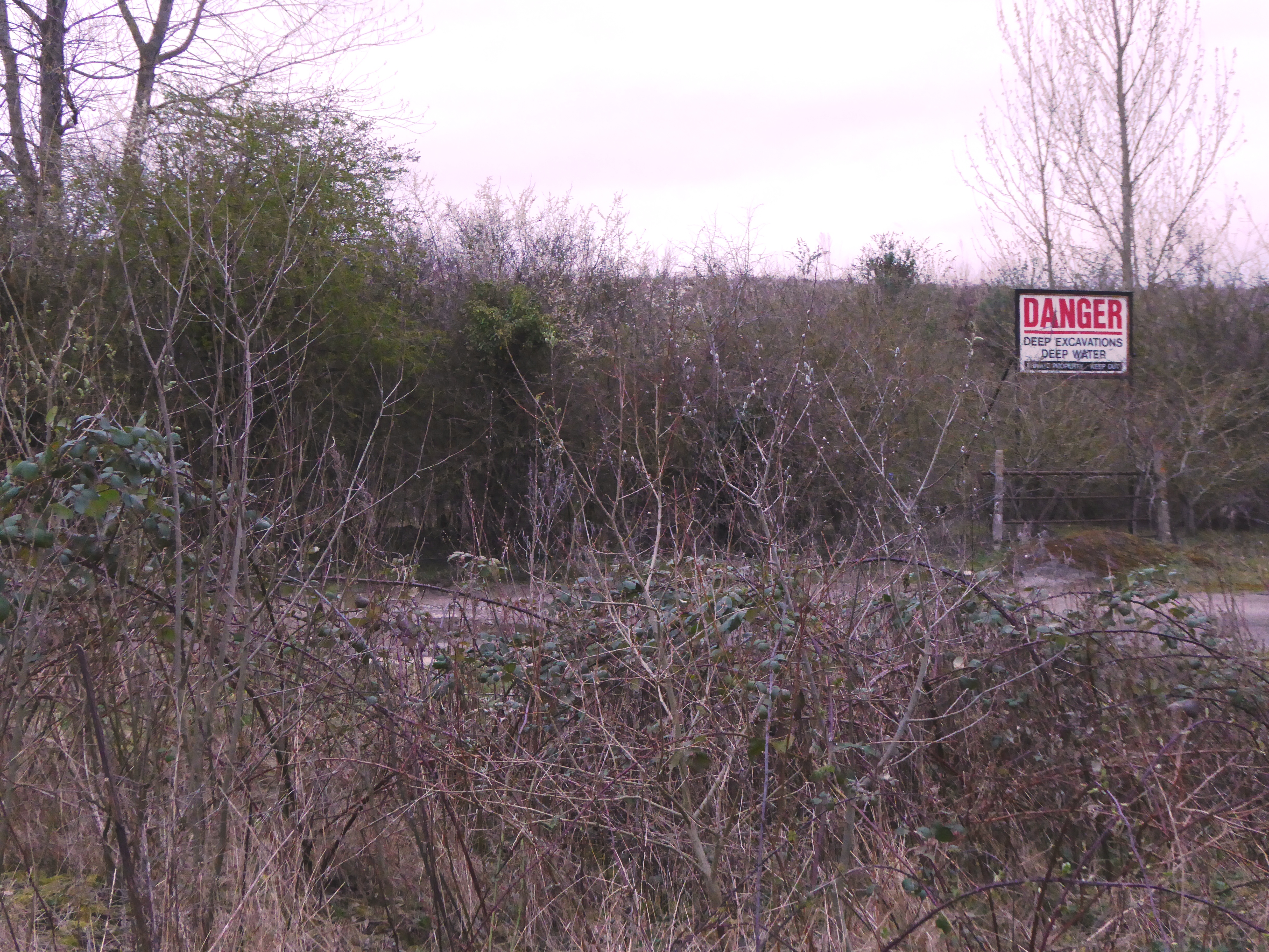
Shipton-on-Cherwell and Whitehill Farm Quarries
Shipton-on-Cherwell and Whitehill Farm Quarries is a 30-hectare (74-acre) geological Site of Special Scientific Interest north of Kidlington in Oxfordshire...
Shipton-on-Cherwell Halt railway station
Shipton-on-Cherwell Halt was a railway halt constructed in 1929 by the Great Western Railway to serve the Oxfordshire village of Shipton-on-Cherwell as...

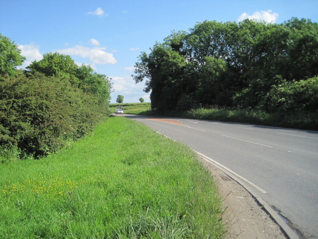
Shipton-on-Cherwell
Shipton-on-Cherwell is a village on the River Cherwell about 2 miles (3 km) north of Kidlington in Oxfordshire, England. The village is part of the civil...
Hampton Gay
Hampton Gay is a village in the civil parish of Hampton Gay and Poyle, in the Cherwell district, in the county of Oxfordshire, England. It is in the Cherwell...

Shipton-on-Cherwell train crash
The Shipton-on-Cherwell train crash was a major disaster which occurred on the Great Western Railway. It involved the derailment of a long passenger train...

The Manor Studio
The Manor Studio (a.k.a. the Manor) was a recording studio in the manor house at the village of Shipton-on-Cherwell in Oxfordshire, England, north of the...
Nearby Amenities
Located within 500m of 51.859383,-1.3118885Have you been to Bunkershill Copse?
Leave your review of Bunkershill Copse below (or comments, questions and feedback).