Brick Kiln Copse
Wood, Forest in Hampshire Eastleigh
England
Brick Kiln Copse
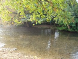
Brick Kiln Copse is a picturesque wood located in the county of Hampshire, England. Situated near the village of Selborne, this ancient forest covers an area of approximately 100 acres, making it a haven for nature enthusiasts and walkers alike.
The copse is predominantly made up of deciduous trees, such as oak, beech, and ash, which provide a stunning display of colors throughout the year. In spring, the woodland floor is adorned with a carpet of bluebells, creating a truly magical sight. The diverse range of flora and fauna found in Brick Kiln Copse makes it an important habitat for many species of birds, insects, and small mammals.
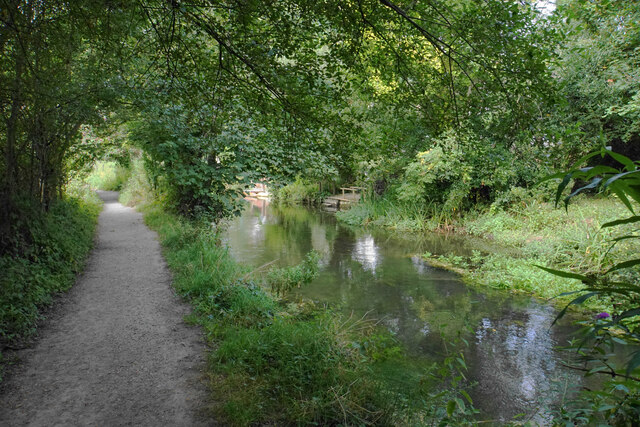
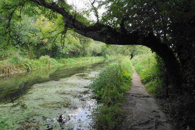
A network of well-maintained trails weaves through the wood, offering visitors the opportunity to explore its natural beauty at their leisure. The paths are relatively flat and easily navigable, making it suitable for all ages and abilities. Along the way, there are several designated picnic spots, providing a perfect setting for a leisurely lunch or a peaceful break.
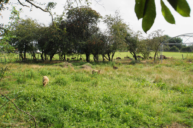
Brick Kiln Copse is also home to a variety of wildlife, including deer, foxes, and badgers, which can often be spotted during early morning or late evening walks. Birdwatchers will be delighted to know that the wood is frequented by species such as woodpeckers, owls, and various songbirds, providing ample opportunities for observation and photography.
Overall, Brick Kiln Copse offers a tranquil and scenic escape from the hustle and bustle of everyday life. Whether it be a leisurely stroll, a family picnic, or a chance to immerse oneself in nature, this Hampshire wood is a true gem for all who visit.
If you have any feedback on the listing, please let us know in the comments section below.
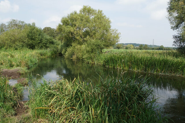
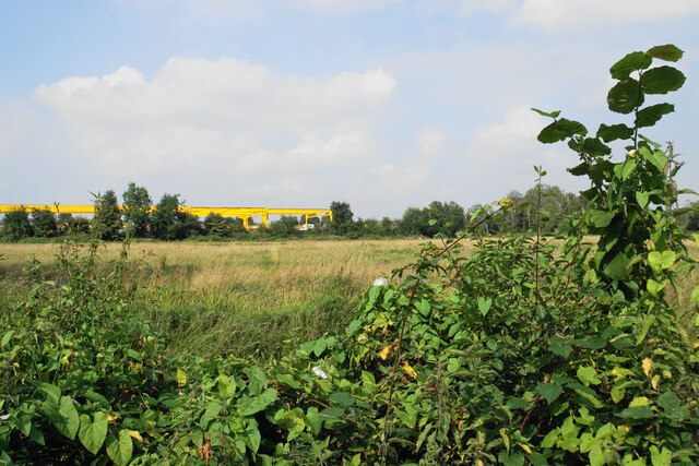
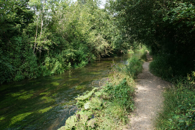
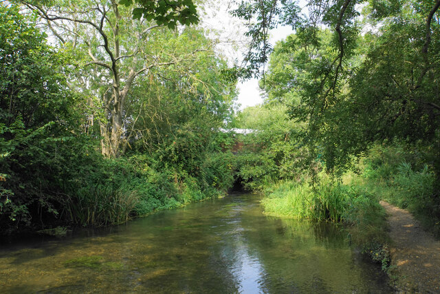
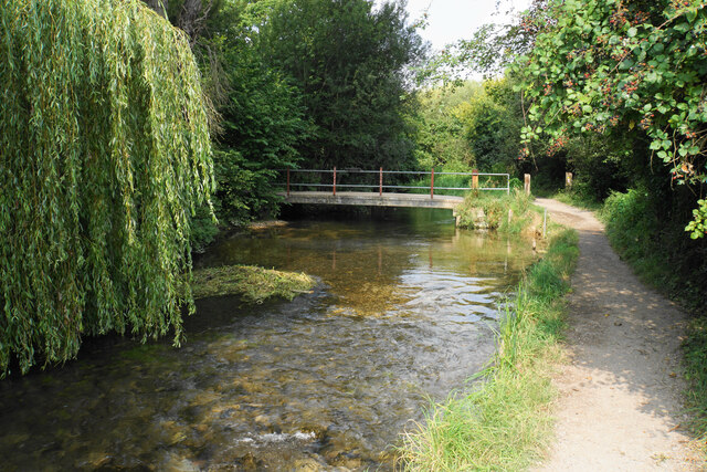
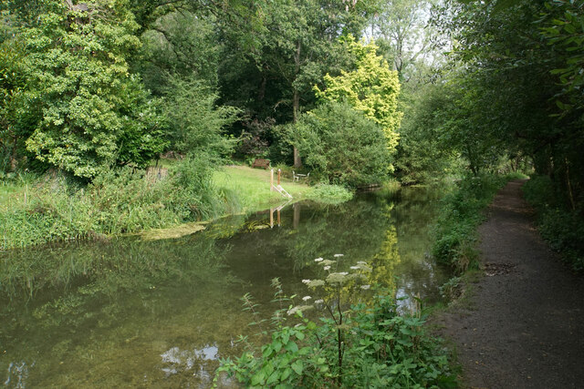
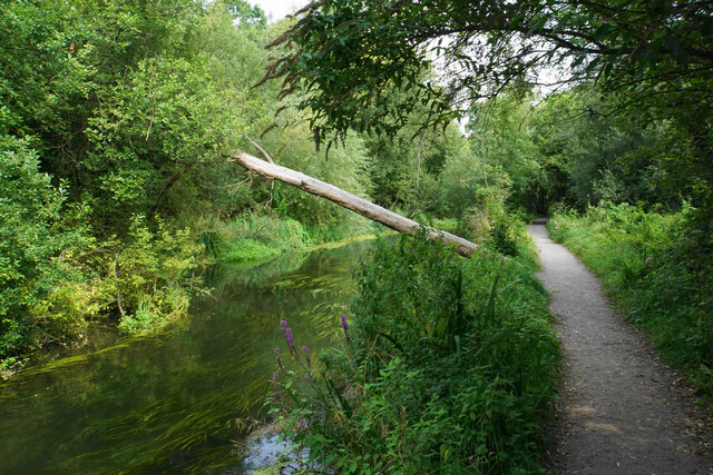
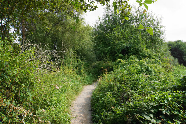
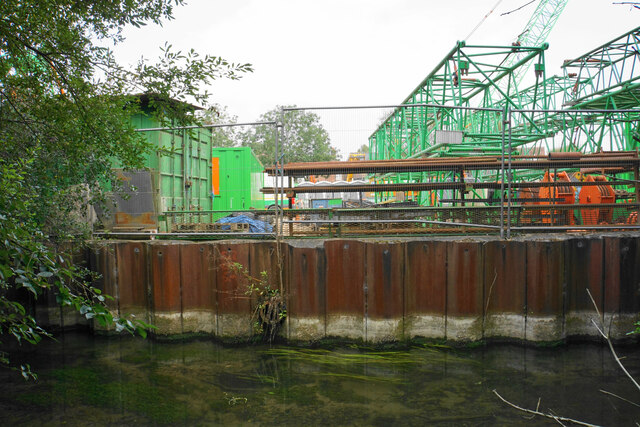
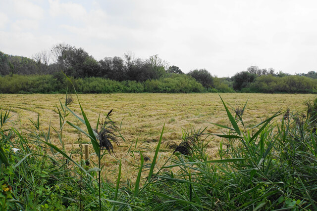
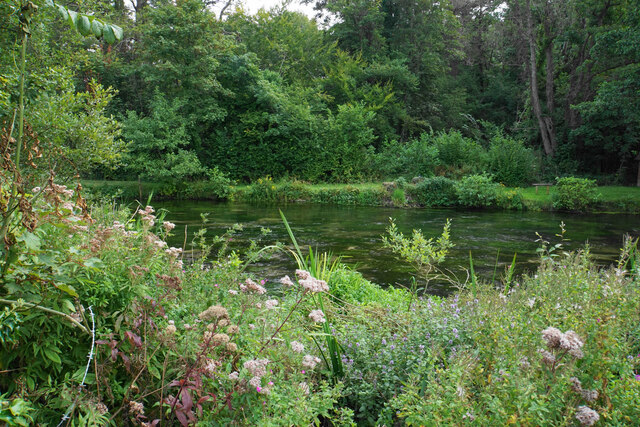
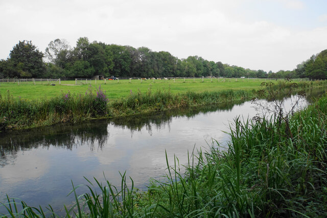
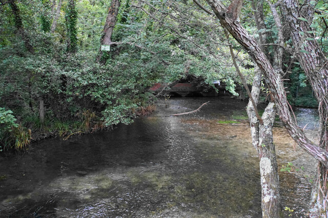
Brick Kiln Copse Images
Images are sourced within 2km of 50.981444/-1.3250278 or Grid Reference SU4720. Thanks to Geograph Open Source API. All images are credited.


Brick Kiln Copse is located at Grid Ref: SU4720 (Lat: 50.981444, Lng: -1.3250278)
Administrative County: Hampshire
District: Eastleigh
Police Authority: Hampshire
What 3 Words
///comical.crab.wing. Near Bishopstoke, Hampshire
Nearby Locations
Related Wikis

St Mary's Church, Bishopstoke
The Church of St Mary's is an Anglican Church in Bishopstoke, Hampshire. St Mary's was designed by Edward Prioleau Warren and built during 1890/91 by Wheeler...
Bishopstoke
Bishopstoke is a village and civil parish in the Eastleigh district of Hampshire, England. It is recorded as "Stoke" as early as 948 AD when King Eadred...

Colden Common
Colden Common is a civil parish in the Winchester District of Hampshire, England, approximately 5 miles south of the city of Winchester, covering an area...
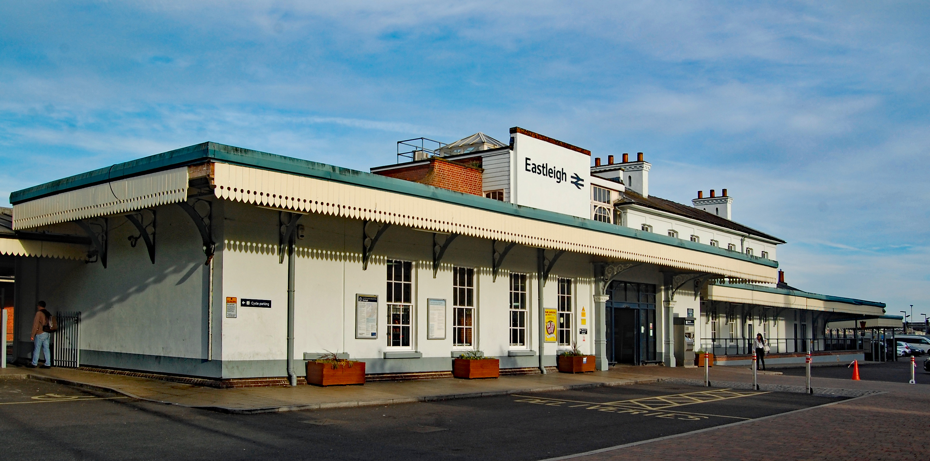
Eastleigh railway station
Eastleigh railway station serves the town of Eastleigh in the county of Hampshire in England. It is located on the South West Main Line and is the junction...

Eastleigh
Eastleigh is a town in Hampshire, England, between Southampton and Winchester. It is the largest town and the administrative seat of the Borough of Eastleigh...

Boyatt Wood
Boyatt Wood is a small residential area and civil parish north-west of Eastleigh in Hampshire named locally after the wooded area to the south of Boyatt...
Twyford Moors
Twyford Moors is a hamlet in the civil parish of Colden Common in the City of Winchester district of Hampshire, England. It is 1+1⁄4 miles (2.0 km) south...

Eastleigh Museum
Eastleigh Museum was a museum situated in Eastleigh, a town in Hampshire, England, which opened in October 1986. In 2014, ownership of the Eastleigh Museum...
Nearby Amenities
Located within 500m of 50.981444,-1.3250278Have you been to Brick Kiln Copse?
Leave your review of Brick Kiln Copse below (or comments, questions and feedback).