Burghclere Common

Wood, Forest in Hampshire Basingstoke and Deane

England

Burghclere Common

Ye Olde Swan Inn This pub is situated below the Church in this square, at the intersection. This picture was taken looking south.
Ye Olde Swan Inn Credit: Pam Brophy

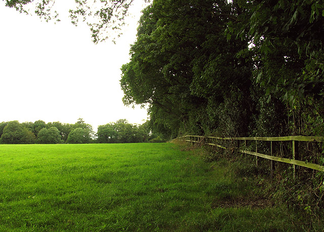
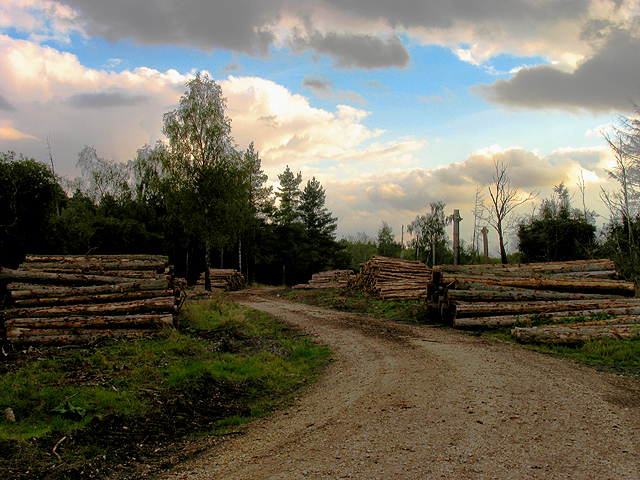
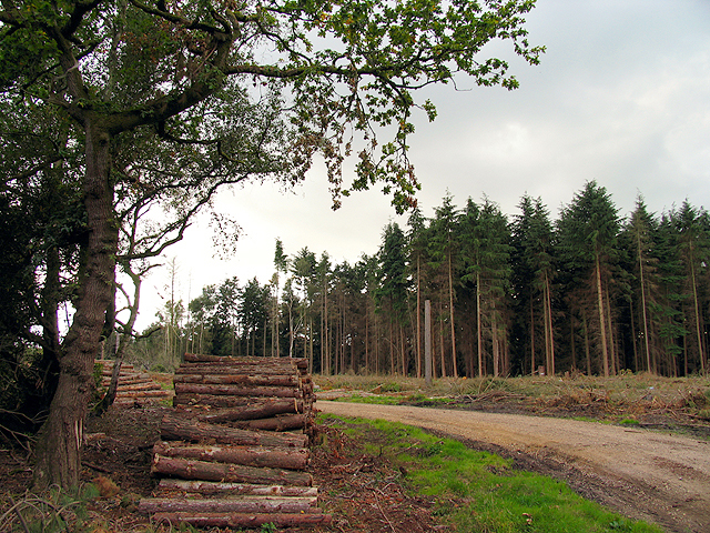
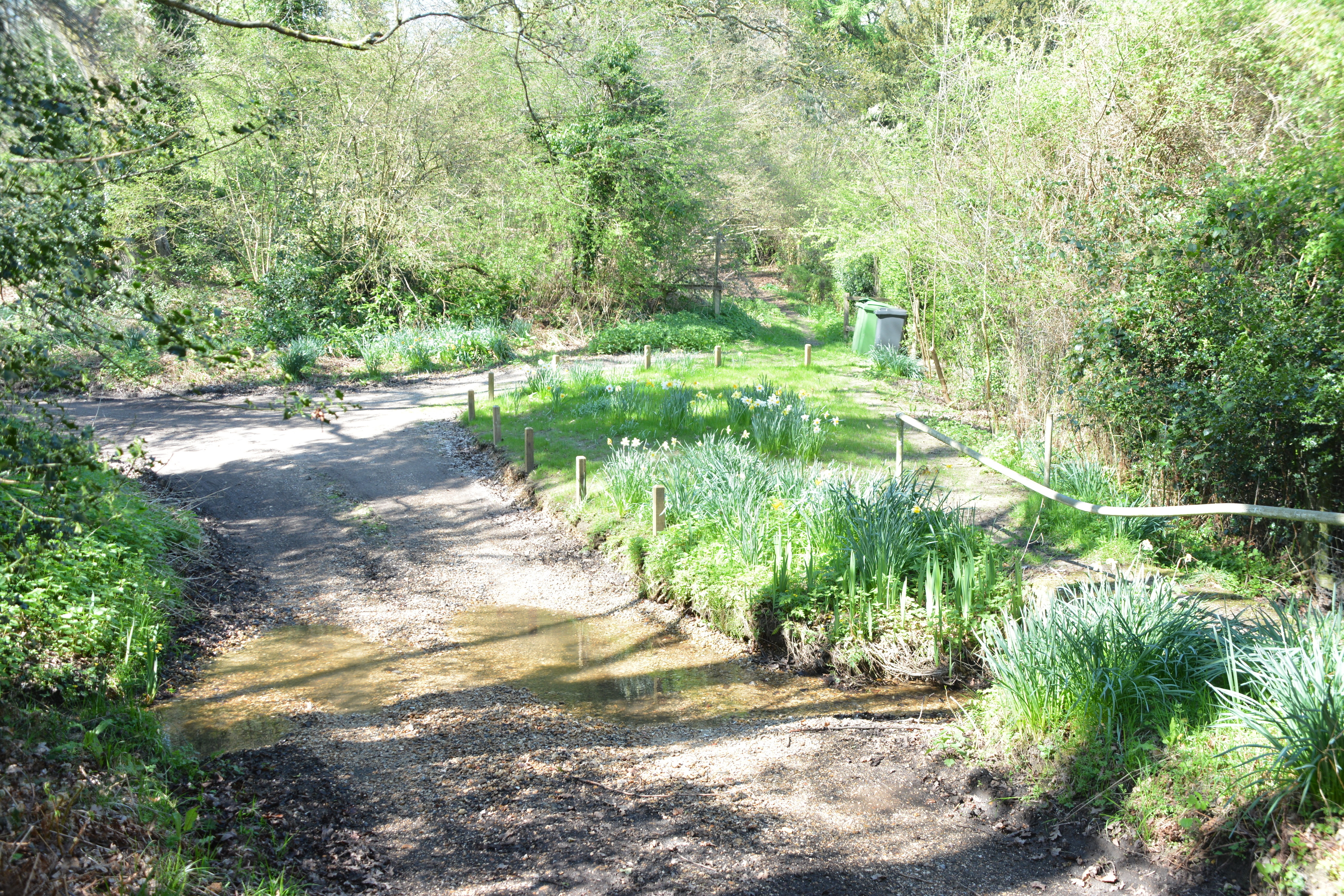
Burghclere Common is a picturesque woodland area located in Hampshire, England. Covering an extensive area of approximately 500 acres, the common is a thriving natural habitat that offers visitors a tranquil escape from the hustle and bustle of city life.

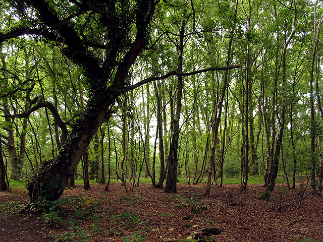
The common is predominantly made up of dense deciduous woodland, characterized by a diverse range of tree species such as oak, beech, and birch. These trees provide a rich canopy, creating a cool and shaded environment during the summer months. The forest floor is adorned with an array of wildflowers, including bluebells, primroses, and foxgloves, adding a splash of vibrant color to the landscape.

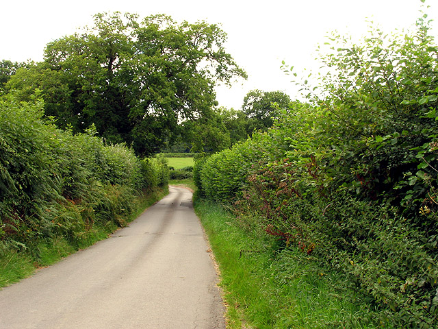
Several footpaths and trails wind through the common, offering visitors the opportunity to explore its beauty on foot or by bike. These pathways lead to enchanting spots such as secluded ponds, babbling brooks, and open clearings, providing ample opportunities for wildlife observation and photography.

Burghclere Common is home to a wide variety of fauna. Birdwatchers can spot species such as woodpeckers, warblers, and finches, while elusive mammals like deer and foxes can also be occasionally glimpsed. The common also supports a diverse insect population, including butterflies and dragonflies, which thrive in its varied habitats.

Managed by the Hampshire Wildlife Trust, Burghclere Common is a cherished conservation area that seeks to protect and preserve its natural beauty for future generations. It is a haven for outdoor enthusiasts, nature lovers, and those seeking a peaceful retreat into the heart of nature.

If you have any feedback on the listing, please let us know in the comments section below.

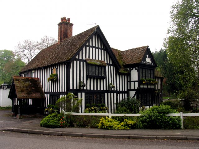
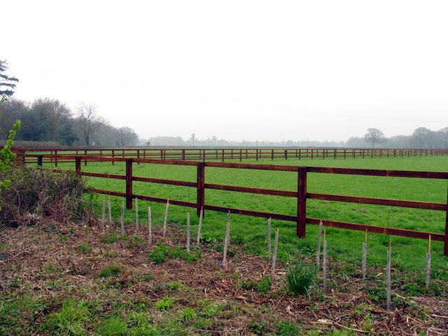
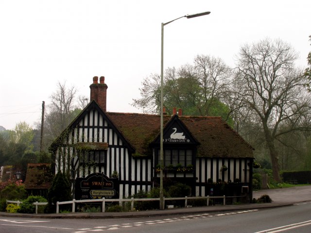
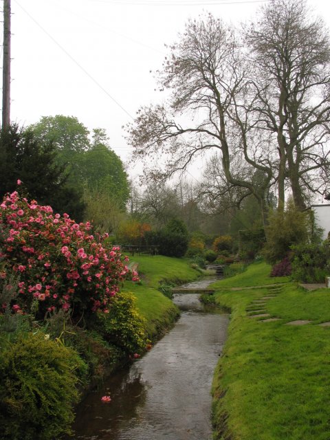
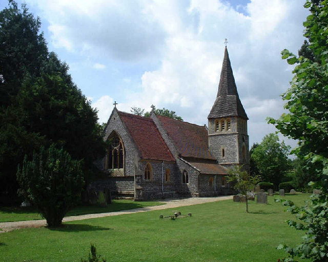
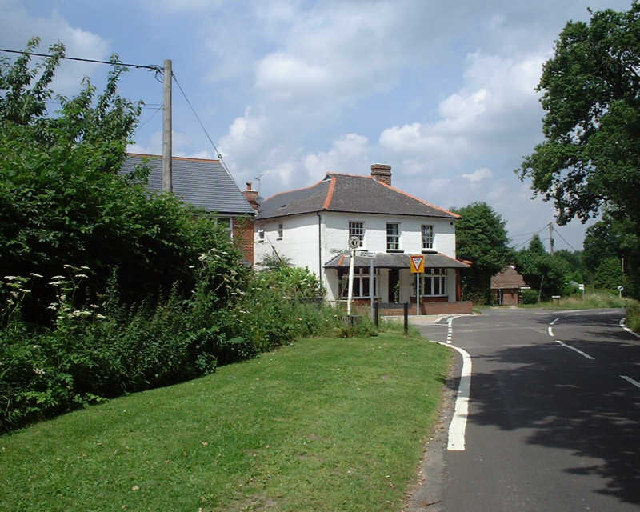
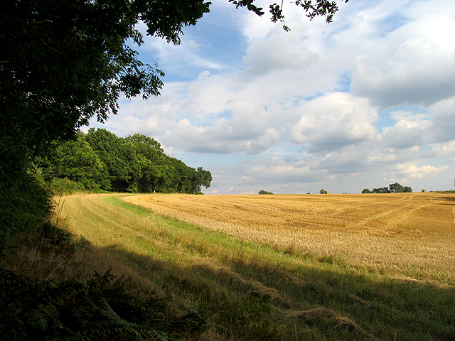
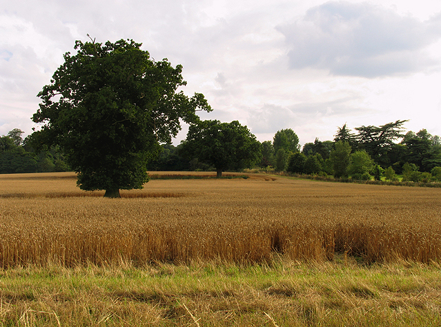
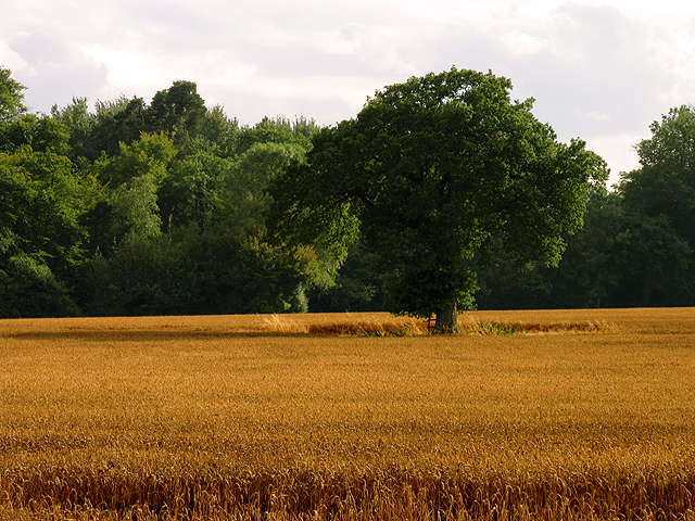
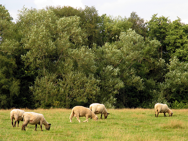
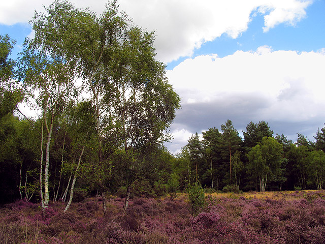
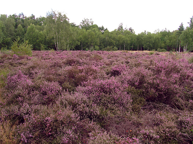
Burghclere Common Images

Images are sourced within 2km of 51.359613/-1.3197739 or Grid Reference SU4762. Thanks to Geograph Open Source API. All images are credited.

Ye Olde Swan Inn This pub is situated below the Church in this square, at the intersection. This picture was taken looking south.
Ye Olde Swan Inn
This pub is situated below the Church in this square, at the intersection. This picture was taken looking south.
Lairage: Burghclere I am told this is where horses are sometimes held while waiting to be transported. This is situated at the interchange of the A34 and the B4640 from Newtown. The picture was taken looking north and east.
Lairage: Burghclere
I am told this is where horses are sometimes held while waiting to be transported. This is situated at the interchange of the A34 and the B4640 from Newtown. The picture was taken looking north and east.
Ye Olde Swan Inn The pub lies in the extreme north of the square, in the eastern quadrant. As one comes down from the grid north of this one and as one passes over the riverbridge, the pub is in view between the B4640 and the junction with the road to Burgchlere, before it forks.
Ye Olde Swan Inn
The pub lies in the extreme north of the square, in the eastern quadrant. As one comes down from the grid north of this one and as one passes over the riverbridge, the pub is in view between the B4640 and the junction with the road to Burgchlere, before it forks.
The Stream alongside Ye Olde Swan Inn This stream runs diagonally through the square from  NE-SW and is on the eastern side of the pub, between the pub and the road into Newtown.
The Stream alongside Ye Olde Swan Inn
This stream runs diagonally through the square from NE-SW and is on the eastern side of the pub, between the pub and the road into Newtown.
Newtown Church Newtown Church
Newtown Church
Newtown Church
Junction of Well Street and Harts Lane, Burghclere Junction of Well Street and Harts Lane, Burghclere
Junction of Well Street and Harts Lane, Burghclere
Farmland near Newtown This field is in the centre of the square, south of Sydonton Common.
Farmland near Newtown
This field is in the centre of the square, south of Sydonton Common.
Farmland in Newtown This field is in the eastern half of the square between the edge of the square and Newtown house.
Farmland in Newtown
This field is in the eastern half of the square between the edge of the square and Newtown house.
Farmland near Newtown This field is in the north western section of the square, south of the road. The bearing looks more or less south east towards Arbuthnot Wood.
Farmland near Newtown
This field is in the north western section of the square, south of the road. The bearing looks more or less south east towards Arbuthnot Wood.
Pasture near Newtown These sheep were grazing in pasture in the north eastern section of the square. The bearing is more or less north, looking towards Rosemore Copse.
Pasture near Newtown
These sheep were grazing in pasture in the north eastern section of the square. The bearing is more or less north, looking towards Rosemore Copse.
Heather field: Newtown A surprise heather field in wooded area (mostly birch) near Newtown Grange and Newtown. This field is in the north western section of the square. The picture was taken from the footpath.
Heather field: Newtown
A surprise heather field in wooded area (mostly birch) near Newtown Grange and Newtown. This field is in the north western section of the square. The picture was taken from the footpath.
Heather near Newtown This heather field is alongside woodland in the north western section of the square. The square is mostly woodland or plantation with isolated detached residences spread across the square, mostly off the minor road and Sheepwash Lane.
Heather near Newtown
This heather field is alongside woodland in the north western section of the square. The square is mostly woodland or plantation with isolated detached residences spread across the square, mostly off the minor road and Sheepwash Lane.
Paddock near Newtown This paddock in the south eastern section of the square belongs to a stud farm in the area. This square is mostly farmland with some detached residences along the lanes.
Paddock near Newtown
This paddock in the south eastern section of the square belongs to a stud farm in the area. This square is mostly farmland with some detached residences along the lanes.
Woodland near Newtown This square is mostly woodland and farmland, with some detached residences spread across the square. There is also a school down one of the private roads in the square. This woodland is in the eastern section of the square.
Woodland near Newtown
This square is mostly woodland and farmland, with some detached residences spread across the square. There is also a school down one of the private roads in the square. This woodland is in the eastern section of the square.
Diocese of Winchester: Newtown Church This church is south west of the village, in the north eastern section of the square.
Diocese of Winchester: Newtown Church
This church is south west of the village, in the north eastern section of the square.
Road between Norman and Wellhouse Farms This square is mostly farmland. This is a view of the road from Norman Farm to Wellhouse farm looking more or less south west. The hedges along here have reached great heights and footpaths are somewhat overgrown.
Road between Norman and Wellhouse Farms
This square is mostly farmland. This is a view of the road from Norman Farm to Wellhouse farm looking more or less south west. The hedges along here have reached great heights and footpaths are somewhat overgrown.
Brown Hill Plantation near Newtown This square is mostly plantation and woodland managed by the English Forestry Commission. This view is near the centre of the square and was taken in the late afternoon/early evening.
Brown Hill Plantation near Newtown
This square is mostly plantation and woodland managed by the English Forestry Commission. This view is near the centre of the square and was taken in the late afternoon/early evening.
Brown Hill Plantation Logging time in the plantation managed by the English Forestry Commission.
Brown Hill Plantation
Logging time in the plantation managed by the English Forestry Commission.
Show me another place!

Burghclere Common is located at Grid Ref: SU4762 (Lat: 51.359613, Lng: -1.3197739)

Administrative County: Hampshire

District: Basingstoke and Deane

Police Authority: Hampshire

What 3 Words

///reinforce.loved.breached. Near Greenham, Berkshire

Related Wikis

Herbert Plantation

Herbert Plantation is a 25.6-hectare (63-acre) Local Nature Reserve north of Burghclere in Hampshire. It is owned by Hampshire County Council and managed...

Newtown Common

Newtown Common is a village in the Basingstoke and Deane district of Hampshire, England. Its nearest town is Newbury, which lies approximately 2.5 miles...

Clere School

The Clere School is a small co-educational community secondary school in Burghclere. Although its postcode locates to Reading via Newbury, it is in Hampshire...

Horris Hill School

Horris Hill, is an independent day and boarding preparatory school for boys aged 4–13. It is located in Berkshire in England, south of Newbury in West...

Newtown, Hampshire

Newtown is a village and civil parish in the English county of Hampshire, about 1+1⁄2 miles (2.4 km) south of Newbury, Berkshire. == History == In the...

Adbury

Adbury is a village in Hampshire, United Kingdom. The settlement is within the civil parish of Burghclere, and is located approximately 2.5 miles (4.0...

Sandleford Priory (country house)

Sandleford Priory is a largely 18th century country house at Sandleford in the civil parish of Greenham in the English county of Berkshire. It incorporates...

St Gabriel's School

St Gabriel's School is a private co-educational day school (Nursery, Junior School, Senior School & Sixth Form) located at Sandleford Priory in Sandleford...

Nearby Amenities

Located within 500m of 51.359613,-1.3197739
Bus Stop
Burghclere Common
Naptan AtcoCode: 1900HA010115
Naptan Bearing: N
Naptan CommonName: Burghclere Common
Naptan Crossing: Yeomans Lane
Naptan NaptanCode: hamdgmdp
Naptan Street: Well Street
Naptan Verified: no
Source: naptan_import
Lat/Long: 51.3592118/-1.3212175
Bus Stop
Burghclere Common
Naptan AtcoCode: 1900HA010116
Naptan Bearing: S
Naptan CommonName: Burghclere Common
Naptan Crossing: Yeomans Lane
Naptan NaptanCode: hamdgmdt
Naptan Street: Well Street
Naptan Verified: no
Source: naptan_import
Lat/Long: 51.358879/-1.321208
Barrier: kissing_gate
Lat/Long: 51.3581914/-1.3196778
Barrier: kissing_gate
Lat/Long: 51.3557469/-1.3162407
The data included in this document is from www.openstreetmap.org. The data is made available under ODbL.

Have you been to Burghclere Common?

Leave your review of Burghclere Common below (or comments, questions and feedback).